
Dirt Bike Trails
Near Deer Park, Washington
Explore All Dirt Bike Trails Near Deer Park, Washington
Dirt Bike Trails Near Deer Park, Washington
Discover the best dirt bike trails near you. Browse trail maps, check difficulty ratings, and find your next adventure — whether you're looking for a quick ride or an all-day expedition.
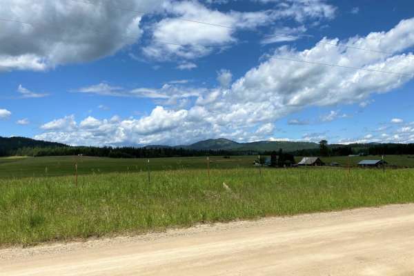
Chewelah-Clayton
The Chewelah-Clayton route is an easy, family-oriented excursion on well-maintained county roads that is ideal for drivers of all skill levels seeking a scenic tour through northeastern Washington's beautiful countryside. Spanning approximately 47 miles of two-way paved and graveled road systems, th...
Learn more about Chewelah-Clayton
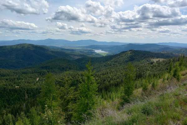
Round Top Mountain Loop
This loop is mostly narrow, single-lane roads with limited places to pull over or turn around, but you will be rewarded with some great views at the top of Round Top Mountain. It is drivable in a full width 4x4 but you will have branches rubbing both sides of your vehicle at times. The west side is...
Learn more about Round Top Mountain Loop
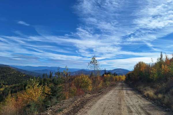
Mica Road & Upper Outer Limits
This route combines Mica Road & Upper Outer Limits to form an alternate side path from the main road "Mt Spokane via IEP Backroads". Starting at Junction 9 and heading east, you'll take Mica Road for around 2 miles until you hit Junction 8. From there you can continue on Upper Outer Limits for clos...
Learn more about Mica Road & Upper Outer Limits
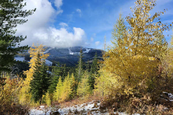
Lower Tripps
This route is an alternate path from the main route, "Mt Spokane via IEP Backroads". Lower Tripps runs parallel to Upper Tripps for about 3.6 miles from Junction 6 to Junction 11. These roads are typically maintained in summer and have clear road signs and maps along the way. Cell service is intermi...
Learn more about Lower Tripps
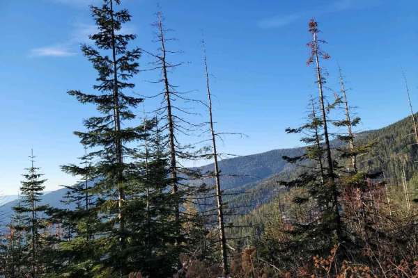
Sherlock Peak Byway
This Sherlock Peak Byway gives a slow steady drive with some washed-out areas of the road during Spring and Fall. Along this trail, you'll see great views and deep treed areas providing an enjoyable ride any time of the year. It also encompasses part of the Cottonwood Divide Trail and joins the Cott...
Learn more about Sherlock Peak Byway
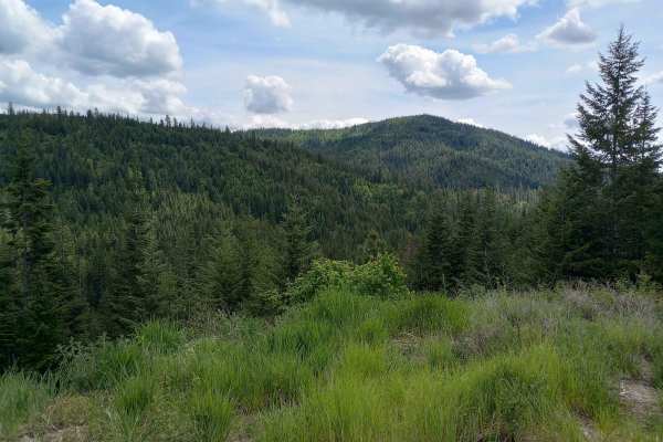
Thompson Creek
This route is on Inland Empire Paper (IEP) land through the Thompson Creek Gate. This is more or less the main road through this area. There are multiple places to pull over or turn around along the way. This route begins at the IEP gate and heads north for about 3 miles on Snake Trail Road. It then...
Learn more about Thompson Creek
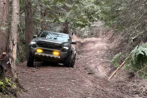
Temple Road
Either end of this trail starts as a two-lane forest road. The middle section is where this trail gets its rating. The middle section is single lane, moderately steep, and has rain washes and ruts up to two feet deep. The middle section of this trail is very tight with few places to pass, and even f...
Learn more about Temple Road
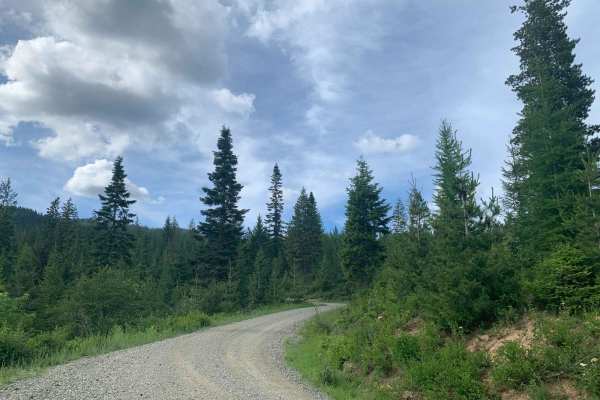
Brickel Creek Road
This road travels east/west through Inland Empire Paper's Brickel Creek Gate and connects to multiple other trails. The road is normally in decent shape with just a few ruts and washouts along the way. Mud or snow conditions may add to the difficulty level in spring and fall. This is a popular ar...
Learn more about Brickel Creek Road
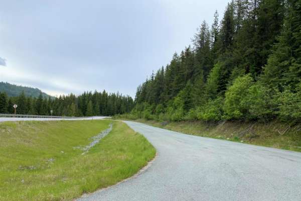
Cottonwood Divide
Cottonwood Divide offers an easy, highly scenic dirt and gravel route through the Colville National Forest, making it perfect for beginners, overland vehicles, and OHV riders looking for a relaxed mountain drive. Spanning approximately 34.5 miles, this loop transitions between the paved Flowery Trai...
Learn more about Cottonwood Divide
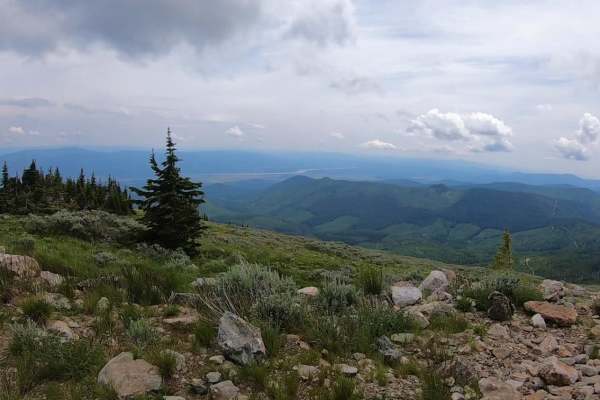
Calispell Peak
Calispell Peak is a scenic 50-mile loop starting from Chewelah, Washington, designed for offroaders seeking a rewarding mountain excursion with expansive views of the Colville National Forest. Starting as a paved route out of town, this trail quickly transitions to maintained gravel roads as it clim...
Learn more about Calispell Peak
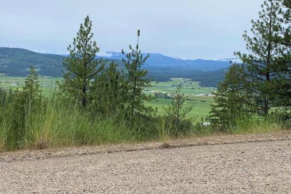
Cottonwood
Family oreinted loop ride. Roads are paved and gravel. Some muddy areas in the forested regions may exist. Be aware of two-way traffic as these are all county roads in residential areas.
Learn more about Cottonwood
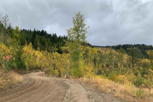
Mt Spokane via IEP Backroads
This route goes from Spirit Lake, ID to the top of Mt Spokane via Inland Empire Paper logging roads and Mt Spokane Nordic Trails. Starting from Brickel Creek Road (via IEP Brickel Creek Gate), to Idaho Road (M8), to Mica Road (M17), to Linder Ridge Road, through the IEP Mt. Spokane Gate and ending i...
Learn more about Mt Spokane via IEP Backroads
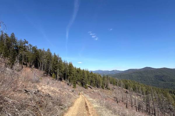
Eagle Mountain - FS 4300080
Easy-to-moderate trail near Chewelah, WA, with a steady climb and switchbacks. Mixed terrain of gravel, compact dirt, loose rock, grass, and ruts. Starts approachable, becoming more engaging as elevation builds. Rated 2 when dry but can shift to 3–4 in wet conditions. High-clearance AWD/4WD recommen...
Learn more about Eagle Mountain - FS 4300080
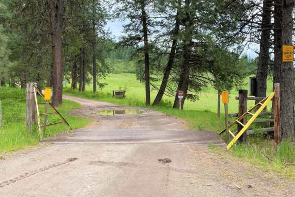
Iron Mtn-Chewelah
Family oriented ride through forested region and rural valley area. Dusty gravel roads during the dry summer months, with muddy spots during and after storms. Easily negotiated with OHV's. Recommend having a chain saw or axe in case of downfall blocking the road in the mountain area.
Learn more about Iron Mtn-Chewelah
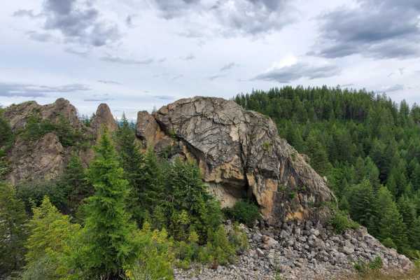
Turtle Rock
This trail utilizes Klines Meadow Road, which is quite an easy ride, but branches off in multiple areas which increase the difficulty. Watch for sections of steep hills and possible rockslides. Take the opportunity to stop along multiple viewpoints throughout the ride, including the old quarry and T...
Learn more about Turtle Rock
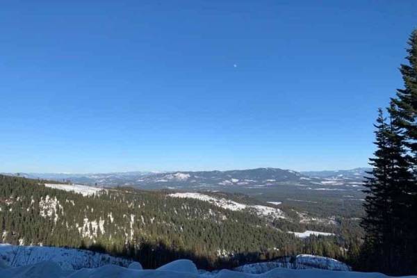
NF-2550 (HooDoo)
This route crosses over Mt HooDoo (elevation 5,119') from Blanchard to Priest River via National Forest Road 2550. The views up here are incredible on a clear day. Mt. Hoodoo is a popular spot for off-roading, hunting, and ATV's. It's also popular with snowmobilers during the winter months.
Learn more about NF-2550 (HooDoo)
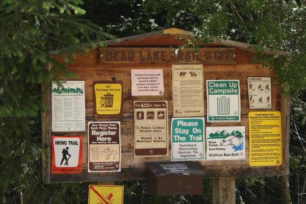
Bead Lake
The Bead Lake trail is an easy-going, scenic off-road loop ideal for beginners, families, and high-clearance vehicles looking for a relaxing day in the Colville National Forest near the Washington-Idaho border. Spanning approximately 28.7 miles, this route climbs from an elevation of 2,057 feet up t...
Learn more about Bead Lake
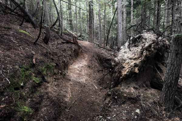
307
Trail #307 is a short singletrack in the Batey-Bould Trail System in the Colville National Forest in Washington. It starts directly from the Batey-Bould staging area and meanders through a dense wooded terrain for 1 mile, making frequent sharp zig-zagging turns up a steep hillside through lodgepole ...
Learn more about 307
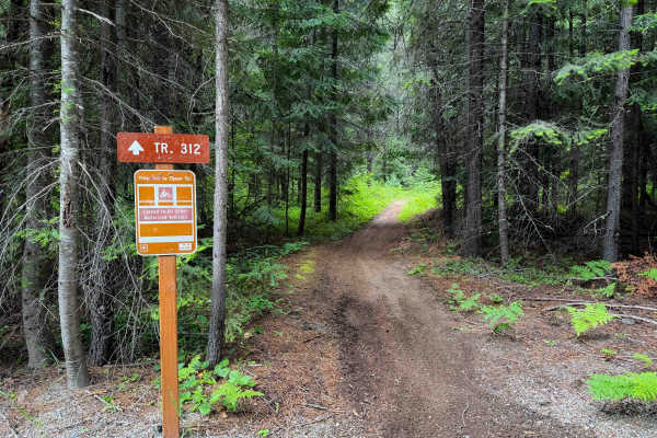
312
Trail #312 is a short singletrack in the Batey-Bould Trail System in the Colville National Forest in Washington. The trail goes through a dense wooded area of lodgepole pines and tall western red cedars. It’s mostly smooth, fast, and flowy dirt with only a bit of roots and loose rock. It has a road ...
Learn more about 312
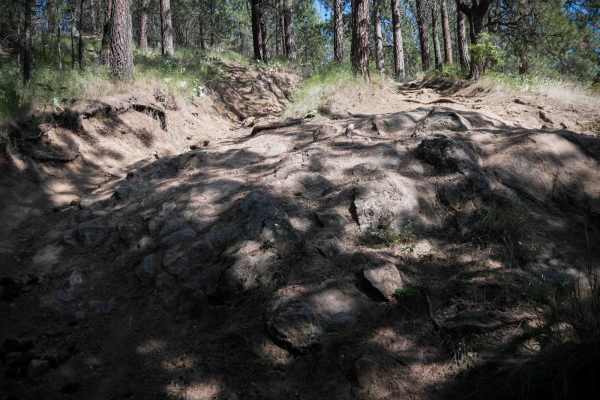
Rock Climb
This trail is a short but demanding quarter-mile OHV route that begins at the "Moderate" sign with a steep hill climb over loose, dusty dirt and deep ruts. Riders must navigate a large rock face, tight split lines between trees, and lots of root bands crossing the trail, all while managing consisten...
Learn more about Rock Climb
ATV trails near Deer Park, Washington
Explore ATV-friendly trails near you. These trails are accessible for vehicles up to 50 inches wide, perfect for ATVs and smaller off-road machines.
Chewelah-Clayton
The Chewelah-Clayton route is an easy, family-oriented excursion on well-maintained county roads that is ideal for drivers of all skill levels seeking a scenic tour through northeastern Washington's beautiful countryside. Spanning approximately 47 miles of two-way paved and graveled road systems, th...
Learn more about Chewelah-Clayton
Round Top Mountain Loop
This loop is mostly narrow, single-lane roads with limited places to pull over or turn around, but you will be rewarded with some great views at the top of Round Top Mountain. It is drivable in a full width 4x4 but you will have branches rubbing both sides of your vehicle at times. The west side is...
Learn more about Round Top Mountain Loop
Mica Road & Upper Outer Limits
This route combines Mica Road & Upper Outer Limits to form an alternate side path from the main road "Mt Spokane via IEP Backroads". Starting at Junction 9 and heading east, you'll take Mica Road for around 2 miles until you hit Junction 8. From there you can continue on Upper Outer Limits for clos...
Learn more about Mica Road & Upper Outer Limits
Lower Tripps
This route is an alternate path from the main route, "Mt Spokane via IEP Backroads". Lower Tripps runs parallel to Upper Tripps for about 3.6 miles from Junction 6 to Junction 11. These roads are typically maintained in summer and have clear road signs and maps along the way. Cell service is intermi...
Learn more about Lower Tripps
UTV/side-by-side trails near Deer Park, Washington
Find UTV and side-by-side trails near you. These trails accommodate vehicles up to 60 inches wide, ideal for UTVs, side-by-sides, and wider off-road rigs.
Chewelah-Clayton
The Chewelah-Clayton route is an easy, family-oriented excursion on well-maintained county roads that is ideal for drivers of all skill levels seeking a scenic tour through northeastern Washington's beautiful countryside. Spanning approximately 47 miles of two-way paved and graveled road systems, th...
Learn more about Chewelah-Clayton
Round Top Mountain Loop
This loop is mostly narrow, single-lane roads with limited places to pull over or turn around, but you will be rewarded with some great views at the top of Round Top Mountain. It is drivable in a full width 4x4 but you will have branches rubbing both sides of your vehicle at times. The west side is...
Learn more about Round Top Mountain Loop
Mica Road & Upper Outer Limits
This route combines Mica Road & Upper Outer Limits to form an alternate side path from the main road "Mt Spokane via IEP Backroads". Starting at Junction 9 and heading east, you'll take Mica Road for around 2 miles until you hit Junction 8. From there you can continue on Upper Outer Limits for clos...
Learn more about Mica Road & Upper Outer Limits
Lower Tripps
This route is an alternate path from the main route, "Mt Spokane via IEP Backroads". Lower Tripps runs parallel to Upper Tripps for about 3.6 miles from Junction 6 to Junction 11. These roads are typically maintained in summer and have clear road signs and maps along the way. Cell service is intermi...
Learn more about Lower Tripps
The onX Offroad Difference
onX Offroad combines trail photos, descriptions, difficulty ratings, width restrictions, seasonality, and more in a user-friendly interface. Available on all devices, with offline access and full compatibility with CarPlay and Android Auto. Discover what you're missing today!
Open Trail Map