Trail Overview
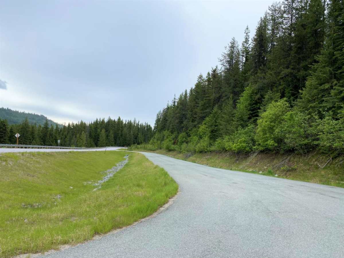
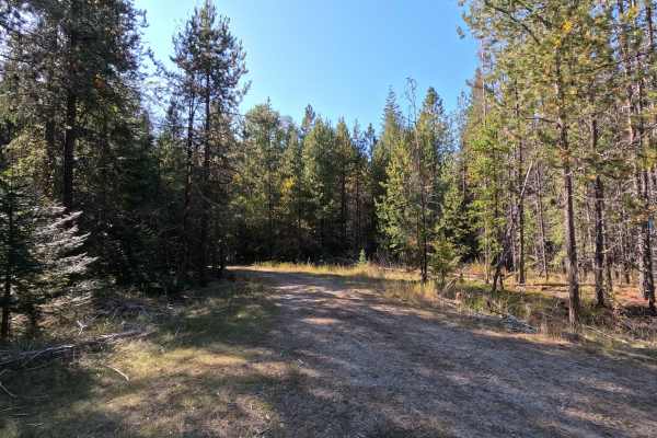
Cottonwood Divide offers an easy, highly scenic dirt and gravel route through the Colville National Forest, making it perfect for beginners, overland vehicles, and OHV riders looking for a relaxed mountain drive. Spanning approximately 34.5 miles, this loop transitions between the paved Flowery Trail Road—where off-highway vehicles are legally permitted—and well-maintained forest roads. Along the way, several clearings break the timberline, offering expansive, panoramic views of the surrounding Selkirk Mountains and deep valleys below.
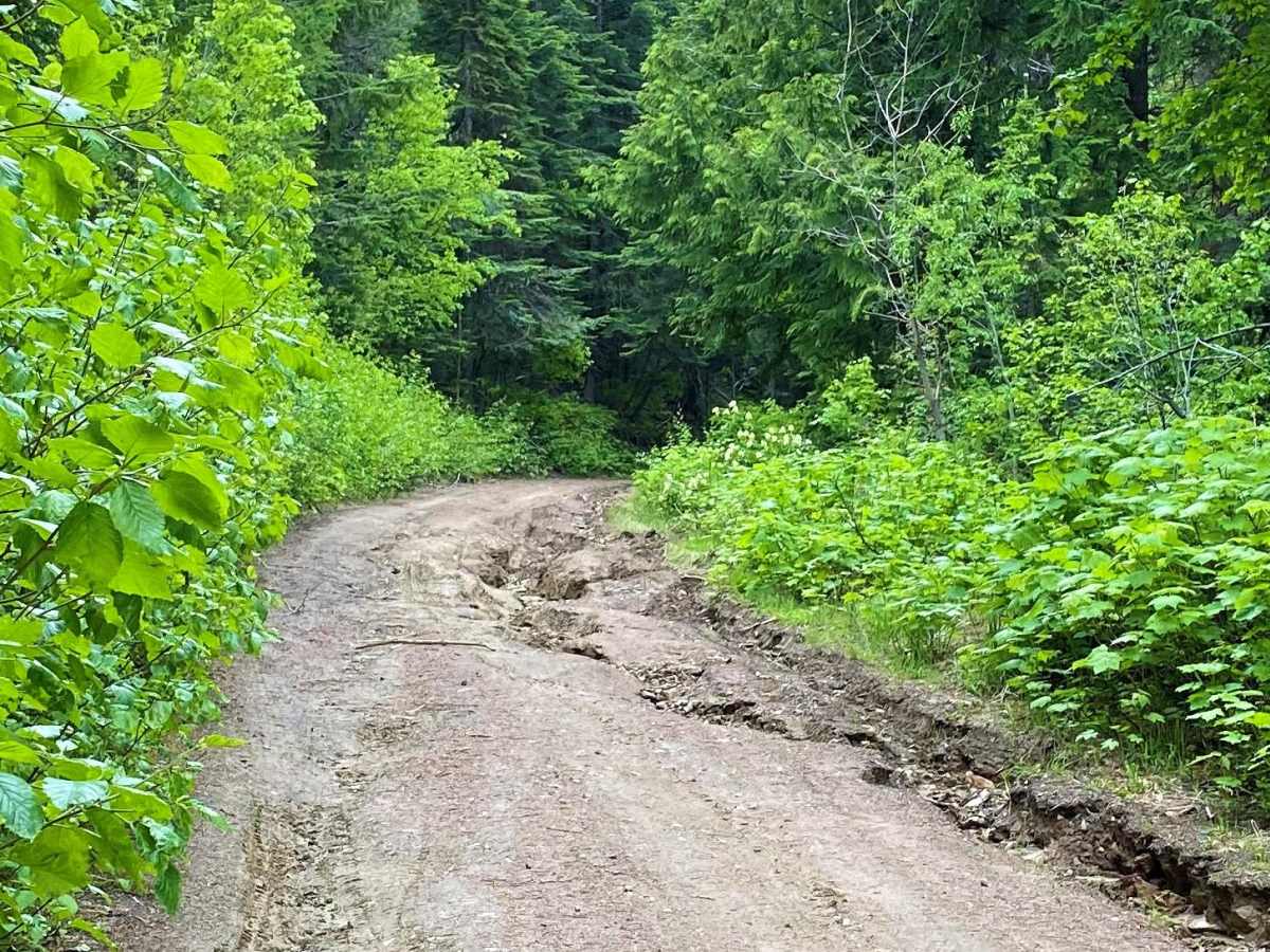
Starting from the Chewelah Sno-Park staging area just east of Chewelah, Washington, this trail is highly accessible, requiring only a standard high-clearance or stock four-wheel-drive vehicle under dry conditions. At the southeastern end of the loop, the route guides travelers along Middle Fork Calispell Road near Delaney Meadow, a highly popular spot for dispersed camping, though visitors should expect heavier traffic in this section. Because the route reaches over 5,000 feet, snow can linger late into the spring, making late summer and early autumn the prime seasons to visit. While the trail holds a technical rating of 1 with generally smooth gravel and dirt surfaces, drivers should remain alert for occasional logging trucks, oncoming recreational traffic, and changing weather conditions.


 Offroad