
Dirt Bike Trails
Near Dacusville, South Carolina
Explore All Dirt Bike Trails Near Dacusville, South Carolina
Dirt Bike Trails Near Dacusville, South Carolina
Discover the best dirt bike trails near you. Browse trail maps, check difficulty ratings, and find your next adventure — whether you're looking for a quick ride or an all-day expedition.
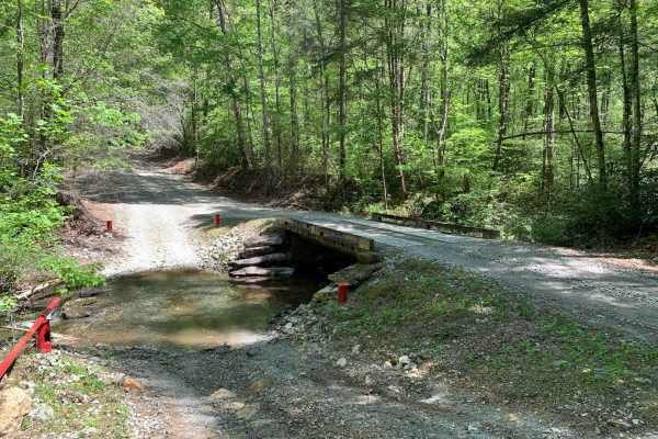
Shooting Tree Ridge Road
Shooting Tree Ridge is a gravel forest road located within the Jocassee Gorges of upstate South Carolina, just east of Lake Jocassee in Pickens County. The 8.5-mile trail runs from Cleo Chapman Highway in Eastatoee, north to Horse Pasture Road. There's an area within the gate for parking, and you ca...
Learn more about Shooting Tree Ridge Road
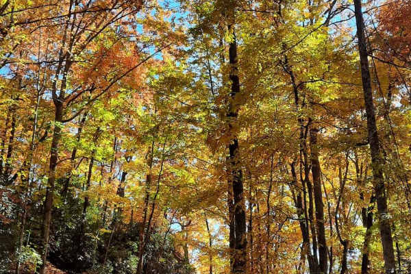
Jumping Off - SCAR Alternate
West of Table Rock you will find this scenic out-and-back diversion. It's a nice addition to add some more challenging riding or driving to the main South Carolina Adventure Route loop. Along its path, you will encounter steep grades which are often rutted and loose.
About the SCAR: The South Carol...
Learn more about Jumping Off - SCAR Alternate
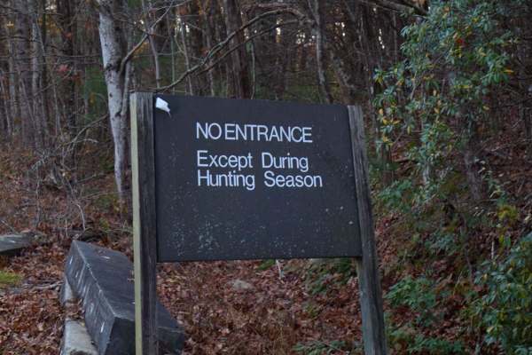
Musterground Road - Part 1
This road is seasonally open during the fall and offers unmatched views of the Blue Ridge Mountains. The first part of this route is very easy to drive and crosses countless bridges over small mountain streams, eventually concluding at a large open campsite along the river. Along the route there is ...
Learn more about Musterground Road - Part 1
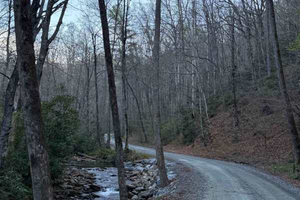
Avery Creek - FS 477
Avery Creek is a well-maintained gravel road that winds through Pisgah National Forest. This is a single-track road with room to pass most of the way through. There are lots of great creekside campsites toward the beginning of the south entrance. Dispersed camping in designated sites only. Once you...
Learn more about Avery Creek - FS 477
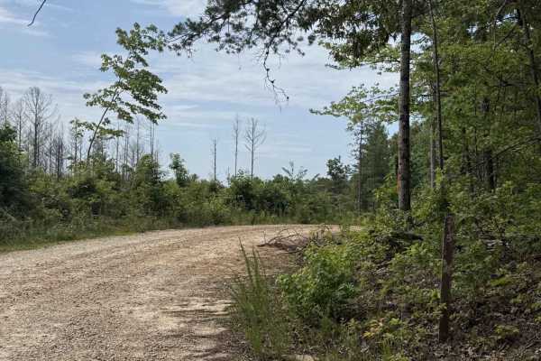
Horse Bone - FS 715
Horse Bone - FS 715 is a short out-and-back trail that winds through the Sumter National Forest. The trail is single-width and well-maintained. It starts in a dense part of the forest, then opens onto a clear-cut offering 360-degree views of nearby mountains. There is limited cell service (AT&T). Th...
Learn more about Horse Bone - FS 715
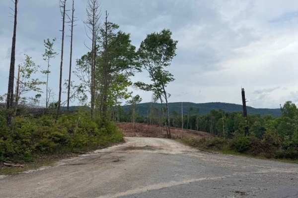
Norton Field - FS 715A
Norton Field - FS 715A is a well-maintained gravel road that winds through the Sumter National Forest. It starts in a clear-cut and then leads into a dense canopy. Along the trail, there is a large parking area and an open field where you can explore Tamassee Creek. At the end of the trail, there is...
Learn more about Norton Field - FS 715A
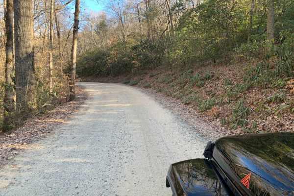
Wash Creek FR 5000
This is an easy road that does not require 4x4. The road is not maintained when it has snowed. You gain 945 feet of elevation, but it is very gradual. There are several places along the road with stunning views, but you would have to go in the winter to get the best views. There are several designat...
Learn more about Wash Creek FR 5000
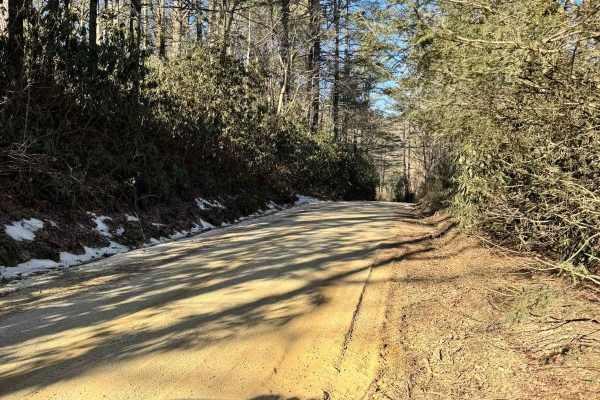
Blue Valley Road
Blue Valley Road winds through the scenic Blue Valley Experimental Forest near Highlands, North Carolina. Starting with a brief stretch of pavement, the road quickly transitions to gravel, passing scattered homes before opening into a serene stretch of dispersed campsites. From here, the road offers...
Learn more about Blue Valley Road
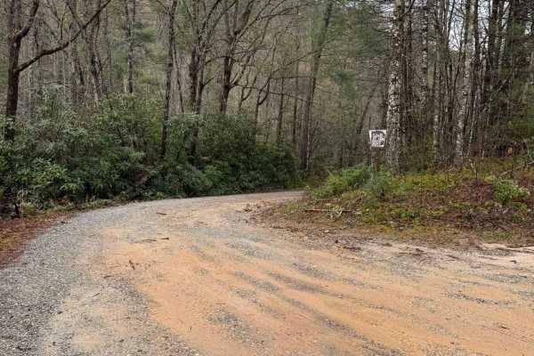
Billingsley Creek - FS 86B
Billingsley Creek - FS 86B branches off of the Georgia Traverse in the Chattahoochee National Forest. It is a gravel road with some 12-18" ruts. At the beginning, there are several large campsites right on Billingsley Creek. Please tread lightly, as the signage makes it clear others haven't done so ...
Learn more about Billingsley Creek - FS 86B
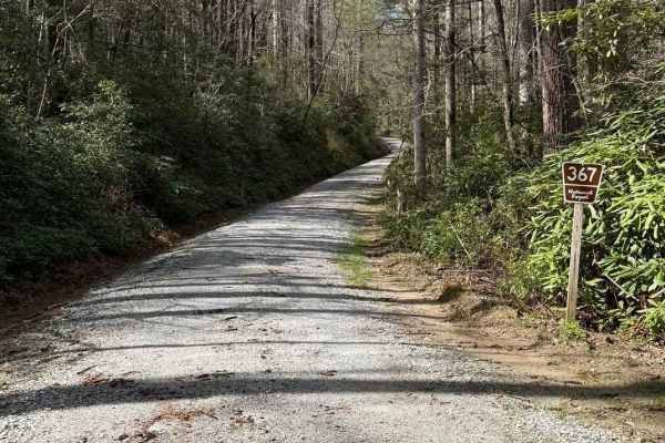
Little Yellow Mountain - FS 367
Little Yellow Mountain is a well-maintained gravel road that branches off of Blue Valley Road and connects to Clear Creek Road. It is wide enough for two vehicles most of the way. There are several campsites and minimal cell service. About halfway through, you will be treated to Brook Creek Falls vi...
Learn more about Little Yellow Mountain - FS 367
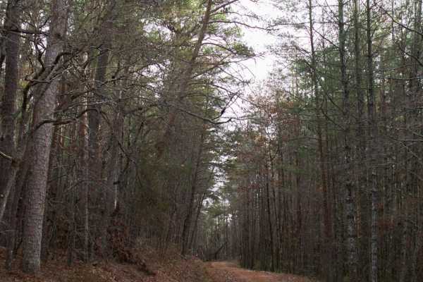
Fall Creek - FSR 722
This trail follows along one the the many Chattoga River plateau's that overlook the Wild and Scenic River. This is a maintained trail that is mostly gravel with many washboard sections. Camping is allowed in designated areas only which occur that the ends of many of the spur trails. This is a great...
Learn more about Fall Creek - FSR 722
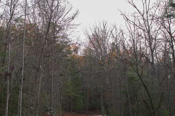
Chattooga River - FSR 769
This trail follows along one the the many Chattooga River plateau's that overlook the Wild and Scenic River. This is a maintained trail that is mostly gravel with many washboard sections. Camping is allowed in designated areas only which occur that the ends of many of the spur trails. This is a grea...
Learn more about Chattooga River - FSR 769
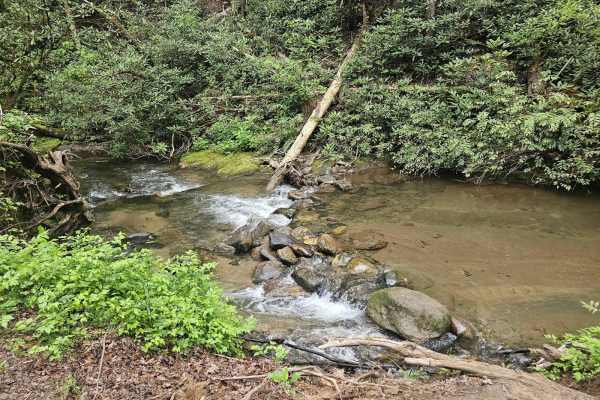
Tuckaluge Creek Road/153
This trail is an easy gravel ride that connects you to 155A. This trail can be completed in 2WD when dry, but it can get slick on the uphills after rain. There are 2 campsites along the trail. One of the campsites has a stream where can collect water or swim. There is more to this trail, but there i...
Learn more about Tuckaluge Creek Road/153

Sandy Ford
Sandy Ford is a short trail that holds an amazing surprise at the end. The road is regularly maintained; the biggest obstacle is a creek crossing that gets up to 18 inches deep but is passable by any truck or SUV. There are dispersed campsites along the route and if you're lucky to find it empty, th...
Learn more about Sandy Ford
Dan Gap - FS 155E
Dan Gap - FS 155E winds its way up Dan Ridge and runs north along its crest. This 1/10 trail is mostly gravel end to end, with a few tight turns and the occasional large rock. A few pull-offs along the route make for great dispersed campsites, and as you run the ridge north, the terrain drops away o...
Learn more about Dan Gap - FS 155E
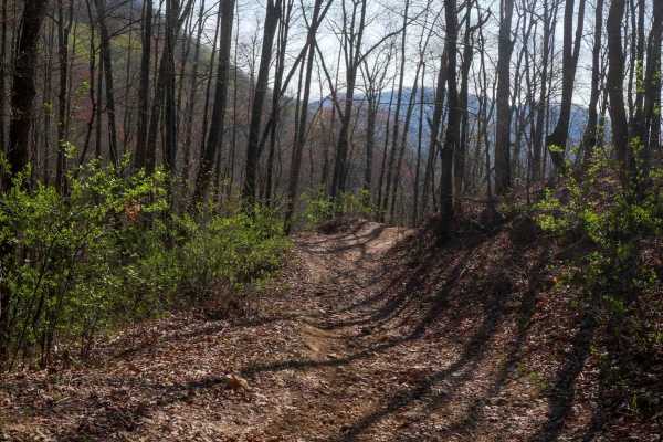
Locust Gap Trail 2
Trail 2 features a shelfy route that contours the mountainside, with mild exposure and sweeping views at higher elevations. Starting at the northern end, it descends gently for a quarter mile before climbing steeply over the next 3/4 mile to reach a peak elevation of approximately 4,200 feet. The ...
Learn more about Locust Gap Trail 2
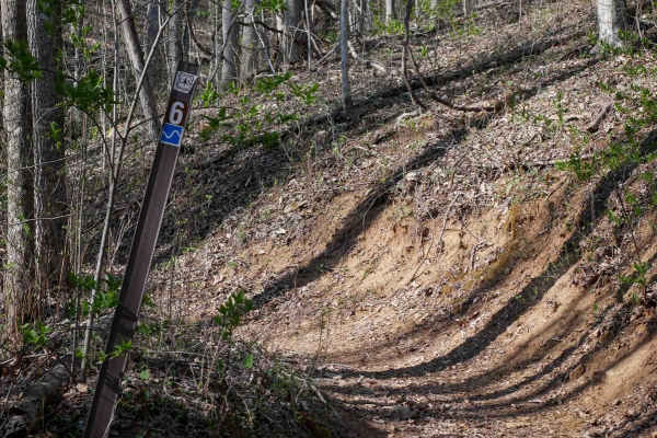
Sunset Ridge Trail 6
Trail 6 is more moderate compared to the challenging 6A. It still features some steeper climbing with embedded roots and small rocks scattered along the way, and it hugs the mountainside on a shelfy path. Leaf litter can obscure the trail surface, so watch for rocks and roots. Going counter-clockwis...
Learn more about Sunset Ridge Trail 6
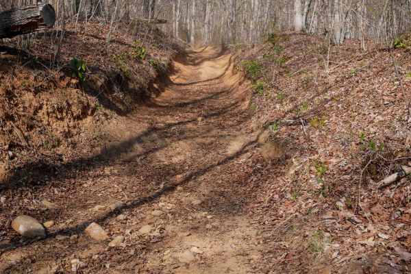
Black Mountain Trail 3
Trail 3 is a frequently used, rocky trail that winds through a beautifully forested section of the Nantahala. The surface includes small loose rocks and moderate curves, and the trail is noticeably worn and troughed below the forest floor. The route hugs the hillside along a narrow shelf trail lined...
Learn more about Black Mountain Trail 3
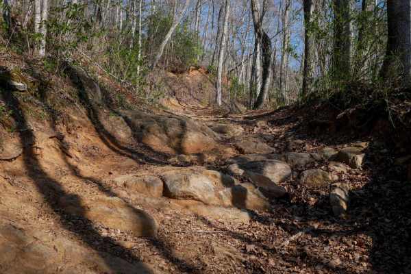
6A
Trail 6A marks the bottom and most challenging portion of the Trail 6 loop. This half-mile segment delivers a steep, punchy climb, gaining around 340 feet of elevation from west to east. It kicks off with loose rock and water bars, quickly ramping up in difficulty as you ascend. The trail is narrow,...
Learn more about 6A
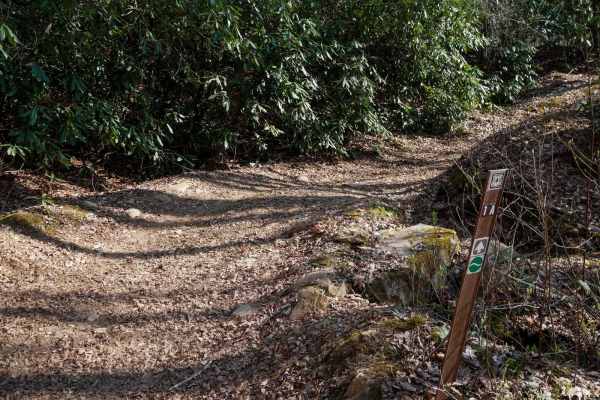
Upper Wayehutta Creek Trail 1A
Trail 1A is a wide OHV route ascends steadily up the mountain, climbing 300 feet over just over half a mile. The trail is fast and flowy, with gradual curves and waterbars placed throughout to manage runoff. Despite the leaf litter that can obscure the trail surface, it rides smoothly overall. Expec...
Learn more about Upper Wayehutta Creek Trail 1A
ATV trails near Dacusville, South Carolina
Explore ATV-friendly trails near you. These trails are accessible for vehicles up to 50 inches wide, perfect for ATVs and smaller off-road machines.
Shooting Tree Ridge Road
Shooting Tree Ridge is a gravel forest road located within the Jocassee Gorges of upstate South Carolina, just east of Lake Jocassee in Pickens County. The 8.5-mile trail runs from Cleo Chapman Highway in Eastatoee, north to Horse Pasture Road. There's an area within the gate for parking, and you ca...
Learn more about Shooting Tree Ridge Road
Jumping Off - SCAR Alternate
West of Table Rock you will find this scenic out-and-back diversion. It's a nice addition to add some more challenging riding or driving to the main South Carolina Adventure Route loop. Along its path, you will encounter steep grades which are often rutted and loose.
About the SCAR: The South Carol...
Learn more about Jumping Off - SCAR Alternate
Musterground Road - Part 1
This road is seasonally open during the fall and offers unmatched views of the Blue Ridge Mountains. The first part of this route is very easy to drive and crosses countless bridges over small mountain streams, eventually concluding at a large open campsite along the river. Along the route there is ...
Learn more about Musterground Road - Part 1
Avery Creek - FS 477
Avery Creek is a well-maintained gravel road that winds through Pisgah National Forest. This is a single-track road with room to pass most of the way through. There are lots of great creekside campsites toward the beginning of the south entrance. Dispersed camping in designated sites only. Once you...
Learn more about Avery Creek - FS 477
UTV/side-by-side trails near Dacusville, South Carolina
Find UTV and side-by-side trails near you. These trails accommodate vehicles up to 60 inches wide, ideal for UTVs, side-by-sides, and wider off-road rigs.
Shooting Tree Ridge Road
Shooting Tree Ridge is a gravel forest road located within the Jocassee Gorges of upstate South Carolina, just east of Lake Jocassee in Pickens County. The 8.5-mile trail runs from Cleo Chapman Highway in Eastatoee, north to Horse Pasture Road. There's an area within the gate for parking, and you ca...
Learn more about Shooting Tree Ridge Road
Jumping Off - SCAR Alternate
West of Table Rock you will find this scenic out-and-back diversion. It's a nice addition to add some more challenging riding or driving to the main South Carolina Adventure Route loop. Along its path, you will encounter steep grades which are often rutted and loose.
About the SCAR: The South Carol...
Learn more about Jumping Off - SCAR Alternate
Musterground Road - Part 1
This road is seasonally open during the fall and offers unmatched views of the Blue Ridge Mountains. The first part of this route is very easy to drive and crosses countless bridges over small mountain streams, eventually concluding at a large open campsite along the river. Along the route there is ...
Learn more about Musterground Road - Part 1
Avery Creek - FS 477
Avery Creek is a well-maintained gravel road that winds through Pisgah National Forest. This is a single-track road with room to pass most of the way through. There are lots of great creekside campsites toward the beginning of the south entrance. Dispersed camping in designated sites only. Once you...
Learn more about Avery Creek - FS 477
The onX Offroad Difference
onX Offroad combines trail photos, descriptions, difficulty ratings, width restrictions, seasonality, and more in a user-friendly interface. Available on all devices, with offline access and full compatibility with CarPlay and Android Auto. Discover what you're missing today!
Open Trail Map