
Dirt Bike Trails
Near Curlew Lake, Washington
Explore All Dirt Bike Trails Near Curlew Lake, Washington
Dirt Bike Trails Near Curlew Lake, Washington
Discover the best dirt bike trails near you. Browse trail maps, check difficulty ratings, and find your next adventure — whether you're looking for a quick ride or an all-day expedition.
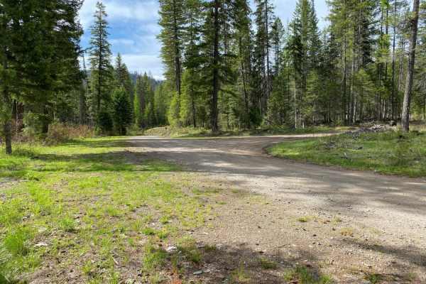
Swan Lake 2
A combination of paved and gravel roads through forested and open rural country side. The route is designed to transit either to or from Republic to the Swan Lake region which is a popular recreation area. Watch for two-way traffic of various types. Dusty conditons during the dry season may cause is...
Learn more about Swan Lake 2
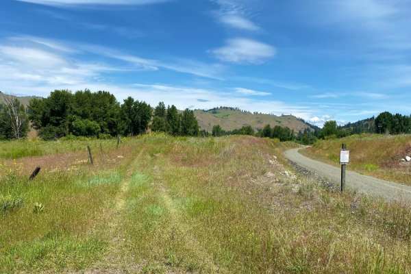
Republic-Curlew
The Republic-Curlew route is an excellent choice for beginner offroaders, families, and scenic tourers looking for a relaxed journey through the picturesque landscapes of northeastern Washington. Connecting the historic mining town of Republic to the charming community of Curlew, this scenic path ta...
Learn more about Republic-Curlew
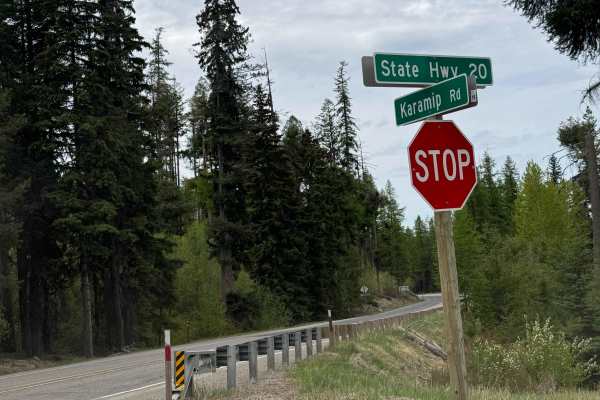
Karamip - FS 2040-000
This forest road starts off gravel-based and turns to dirt. There are several cattle guards along the trail, so watch your speed. The trail has minor ruts and wash, and there are some bumpy washboard sections. The trail travels for 8.5 miles before dead-ending at an earth barrier where there is a di...
Learn more about Karamip - FS 2040-000
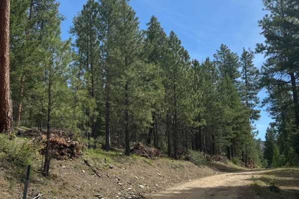
Sherman Creek Trailhead Road
This is a dirt-based forest road that leads to the Sherman Mountain hiking Trailhead. The trail climbs around 850 feet in elevation and has washboard and rocky sections. You will have views of the surrounding ridges and peaks. The trail is mostly two-track with plenty of places to pass other vehicle...
Learn more about Sherman Creek Trailhead Road
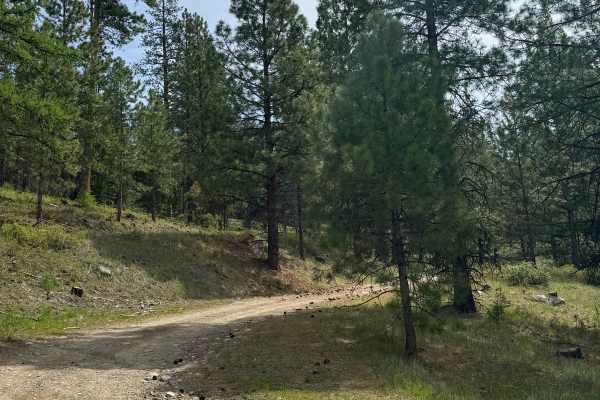
Shovel Creek - FS 2040-050
This is a dirt-based forest road with some gravel sections. The trail gradually climbs around 1,000 feet in elevation and is narrow and two-track most of the way. There are minor ruts and washouts under a foot deep, and any vehicle type should have no issue navigating this trail. The trail ends appr...
Learn more about Shovel Creek - FS 2040-050
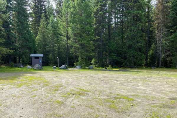
Quartz Mountain
The roads in the Quartz Mountain area are mainly gravel roads, with side roads being less travelled, two track roads that may be rutted, rocky and muddy in spots. Road to the old lookout site is in good shape. Easy ride.
Learn more about Quartz Mountain
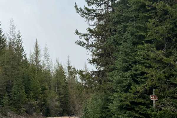
South Boulder - FS 6110
This forest road is gravel and dirt-based, and runs 13.3 miles from the paved Highway 602 to Forest Road 2030, which has many more split-off trails. This trail is relatively smooth with minor ruts and wash, and any vehicle type should have no issue. There is a portion where the road narrows and has ...
Learn more about South Boulder - FS 6110
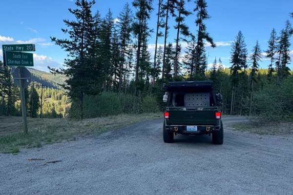
South Sherman - FS 2020-000
This forest road creates a loop as it runs from Highway 20 south into the forest and then returns approximately 12-13 miles down the Highway. There are several other trails in the area to explore that split off from this one. The western half of this trail is dirt-based, narrow, and bumpy, while the...
Learn more about South Sherman - FS 2020-000
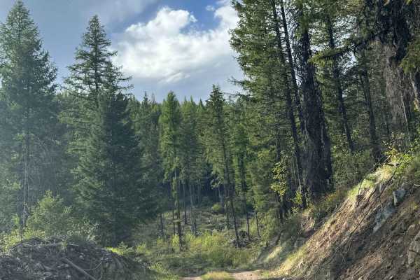
FS 2000-468
This is a dirt-based forest road in the Colville National Forest. The trail is mostly two-track and narrow at times, with places to pass. There are ruts and wash along the trail that are under a foot deep, and a couple of different muddy sections. There are beautiful views along this trail, and towa...
Learn more about FS 2000-468
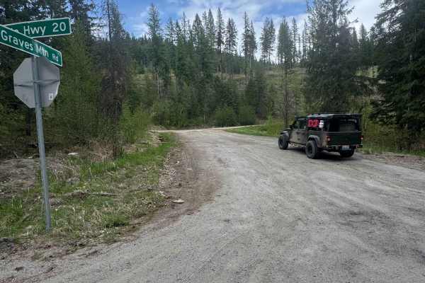
Graves Mountain Road
This trail travels in the Colville National Forest to the top of Graves Mountain, where the old lookout used to be. The trail starts off as an easy gravel road, then transitions to dirt and gets narrow. The trail is two-track in some places, and there are portions where it becomes a shelf road with ...
Learn more about Graves Mountain Road
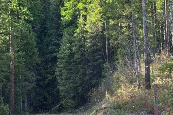
FS 2000-466
This is a dirt-based forest road in the Colville National Forest. The trail is relatively flat and gradually gains only around 300 feet of elevation along the entire trail. The trail is narrow and one lane wide, with two-lane sections. There are ledges with drop-offs, but there are places to pull ov...
Learn more about FS 2000-466
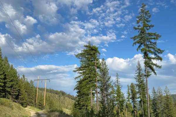
Old Sherman Highway
This forest road is mostly sand and dirt with a little gravel mixed in. You will be traveling parallel with Highway 20, and the trail is narrow, one vehicle wide, and two-track. This road follows a power line and provides views of the surrounding peaks and a good area to view/watch for wildlife. The...
Learn more about Old Sherman Highway
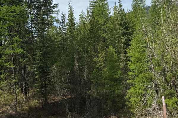
FS 2020-300
This is a dirt-based forest road. The trail is narrow, one lane wide, and has overgrown vegetation through dense forest. The last quarter mile of the trail is extremely overgrown, and you can expect a scratch or two. There are ruts and washouts under a foot deep, but most vehicles will have no issue...
Learn more about FS 2020-300
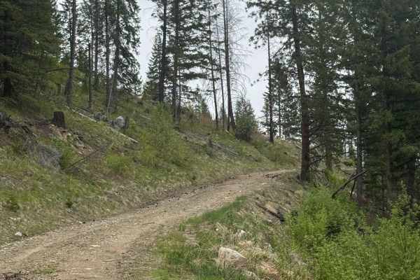
Fritz Creek Ext - FS 2000-420
This is a dirt-based forest road that gradually climbs around 1,000 feet in the Coilville National Forest. The trail gets narrower as you approach the top/end, and there are a couple of switchbacks with drop-offs. There are some muddy spots on the trail, and some minor ruts/wash, but any vehicle typ...
Learn more about Fritz Creek Ext - FS 2000-420
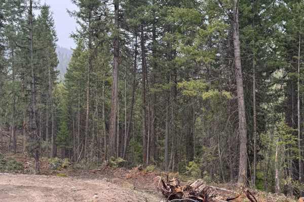
Echo Creek - FS 6113-325
This is a dirt-based forest road that has active logging activity. The road is muddy and slick in some areas, especially after rain, and has minimal wash and ruts. The trail gradually climbs over 1,000 feet in elevation and offers views of the surrounding peaks. There are a few switchbacks, and the ...
Learn more about Echo Creek - FS 6113-325
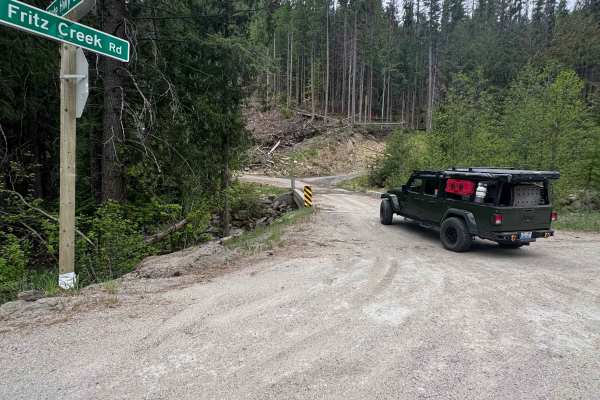
Fritz Creek - FS 2000-400
This is an easy gravel forest road in the Colville National Forest. As you turn onto the trail from Highway 20, you will cross a bridge over Fritz Creek. The trail gradually climbs approximately 1200 feet in elevation. The trail has washboard and rock garden sections, so it is recommended to air dow...
Learn more about Fritz Creek - FS 2000-400
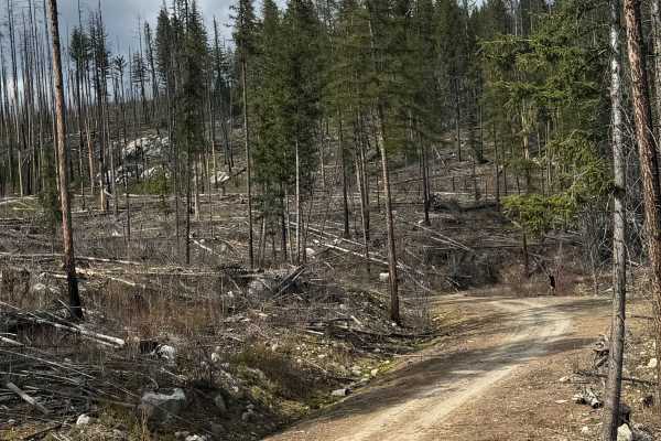
Dry Creek - FS 6100-350
This is a gravel-based forest road that gradually climbs up a ridge in front of Dry Mountain. Not sure where the name came from because there was no creek to be found. This is a narrow road with a few switchbacks that has some overgrown vegetation and travels through an old burn, so there are trees ...
Learn more about Dry Creek - FS 6100-350
Sheep Mountain
Gravel road for the most part, with occasional dirt/muddy areas, depending on weather. Easy ride, gentle pitches.
Learn more about Sheep Mountain
Swan Lake 1
This is one of several short loop rides in a popular camping/recreation area of Ferry County. Scatter Creek Rd is paved into the Swan Lake campground area, but the remaining roads on the route are gravel. The route is forested, mainly for the purpose of "seat time" and makes for a good family orient...
Learn more about Swan Lake 1
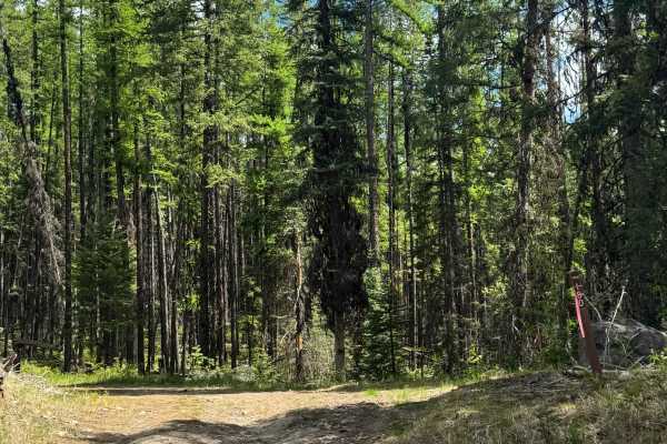
FS 2020-180
This is a dirt-based forest road in Colville National Forest. The trail is mostly two-track and is very narrow and one lane wide. There are some places to pass as the trail gradually climbs near 700 feet in elevation gain. This trail has minor ruts and wash, some areas with loose rock, and areas of ...
Learn more about FS 2020-180
ATV trails near Curlew Lake, Washington
Explore ATV-friendly trails near you. These trails are accessible for vehicles up to 50 inches wide, perfect for ATVs and smaller off-road machines.
Swan Lake 2
A combination of paved and gravel roads through forested and open rural country side. The route is designed to transit either to or from Republic to the Swan Lake region which is a popular recreation area. Watch for two-way traffic of various types. Dusty conditons during the dry season may cause is...
Learn more about Swan Lake 2
Republic-Curlew
The Republic-Curlew route is an excellent choice for beginner offroaders, families, and scenic tourers looking for a relaxed journey through the picturesque landscapes of northeastern Washington. Connecting the historic mining town of Republic to the charming community of Curlew, this scenic path ta...
Learn more about Republic-Curlew
Karamip - FS 2040-000
This forest road starts off gravel-based and turns to dirt. There are several cattle guards along the trail, so watch your speed. The trail has minor ruts and wash, and there are some bumpy washboard sections. The trail travels for 8.5 miles before dead-ending at an earth barrier where there is a di...
Learn more about Karamip - FS 2040-000
Sherman Creek Trailhead Road
This is a dirt-based forest road that leads to the Sherman Mountain hiking Trailhead. The trail climbs around 850 feet in elevation and has washboard and rocky sections. You will have views of the surrounding ridges and peaks. The trail is mostly two-track with plenty of places to pass other vehicle...
Learn more about Sherman Creek Trailhead Road
UTV/side-by-side trails near Curlew Lake, Washington
Find UTV and side-by-side trails near you. These trails accommodate vehicles up to 60 inches wide, ideal for UTVs, side-by-sides, and wider off-road rigs.
Swan Lake 2
A combination of paved and gravel roads through forested and open rural country side. The route is designed to transit either to or from Republic to the Swan Lake region which is a popular recreation area. Watch for two-way traffic of various types. Dusty conditons during the dry season may cause is...
Learn more about Swan Lake 2
Republic-Curlew
The Republic-Curlew route is an excellent choice for beginner offroaders, families, and scenic tourers looking for a relaxed journey through the picturesque landscapes of northeastern Washington. Connecting the historic mining town of Republic to the charming community of Curlew, this scenic path ta...
Learn more about Republic-Curlew
Karamip - FS 2040-000
This forest road starts off gravel-based and turns to dirt. There are several cattle guards along the trail, so watch your speed. The trail has minor ruts and wash, and there are some bumpy washboard sections. The trail travels for 8.5 miles before dead-ending at an earth barrier where there is a di...
Learn more about Karamip - FS 2040-000
Sherman Creek Trailhead Road
This is a dirt-based forest road that leads to the Sherman Mountain hiking Trailhead. The trail climbs around 850 feet in elevation and has washboard and rocky sections. You will have views of the surrounding ridges and peaks. The trail is mostly two-track with plenty of places to pass other vehicle...
Learn more about Sherman Creek Trailhead Road
The onX Offroad Difference
onX Offroad combines trail photos, descriptions, difficulty ratings, width restrictions, seasonality, and more in a user-friendly interface. Available on all devices, with offline access and full compatibility with CarPlay and Android Auto. Discover what you're missing today!
Open Trail Map