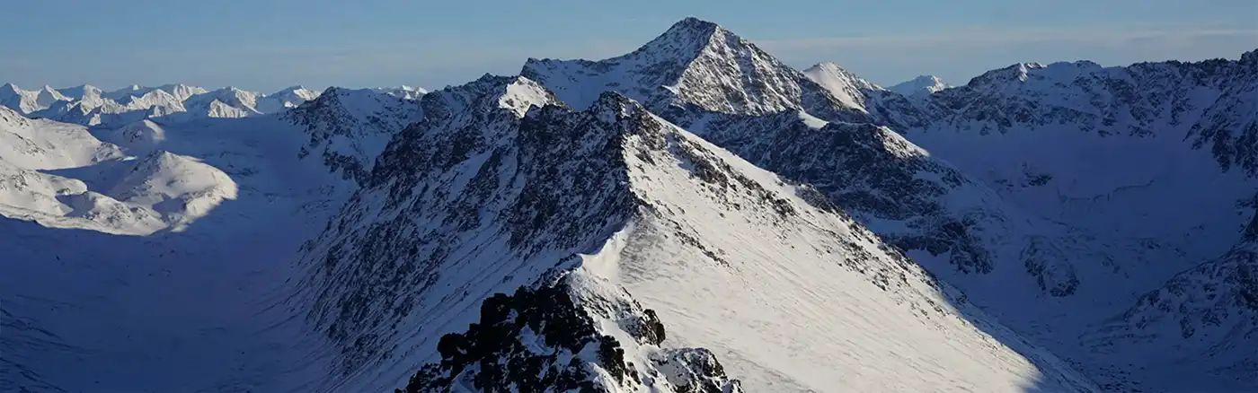
Dirt Bike Trails
Near Torboy, Washington
Explore All Dirt Bike Trails Near Torboy, Washington
Dirt Bike Trails Near Torboy, Washington
Discover the best dirt bike trails near you. Browse trail maps, check difficulty ratings, and find your next adventure — whether you're looking for a quick ride or an all-day expedition.
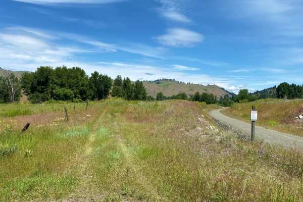
Republic-Curlew
The Republic-Curlew route is an excellent choice for beginner offroaders, families, and scenic tourers looking for a relaxed journey through the picturesque landscapes of northeastern Washington. Connecting the historic mining town of Republic to the charming community of Curlew, this scenic path ta...
Learn more about Republic-Curlew
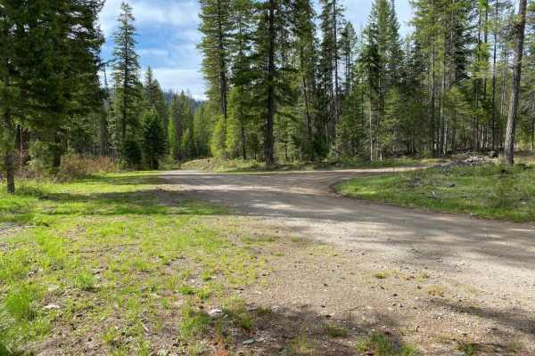
Swan Lake 2
Swan Lake 2 is an easy 29.1-mile route connecting Republic, Washington, to the Swan Lake recreation area in the Colville National Forest. Rated 1 for technical difficulty, the trail follows well-maintained paved and gravel forest roads, making it ideal for beginners, stock high-clearance vehicles, a...
Learn more about Swan Lake 2
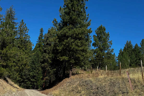
Herron Creek - FS 2154
This is a gravel-based forest road with over 1,200 feet of total elevation change. The trail is narrow and one vehicle-wide with room to pass, and there are ruts and washouts up to a foot and a half deep. There are rock garden sections with embedded boulders sticking out of the ground up to a foot, ...
Learn more about Herron Creek - FS 2154
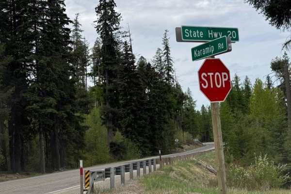
Karamip - FS 2040-000
This forest road starts off gravel-based and turns to dirt. There are several cattle guards along the trail, so watch your speed. The trail has minor ruts and wash, and there are some bumpy washboard sections. The trail travels for 8.5 miles before dead-ending at an earth barrier where there is a di...
Learn more about Karamip - FS 2040-000
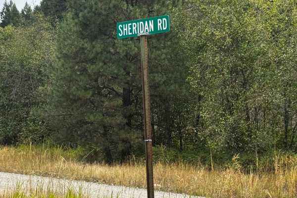
Sheridan Road
This is a hard-packed, gravel-based road open to the public that leads into the National Forest. The trail connects you to the vast network of trails and passes through private property. The road has ruts and wash up to a foot and some heavy washboard, making the trail rough as it climbs over 1,200...
Learn more about Sheridan Road
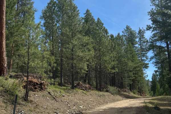
Sherman Creek Trailhead Road
This is a dirt-based forest road that leads to the Sherman Mountain hiking Trailhead. The trail climbs around 850 feet in elevation and has washboard and rocky sections. You will have views of the surrounding ridges and peaks. The trail is mostly two-track with plenty of places to pass other vehicle...
Learn more about Sherman Creek Trailhead Road
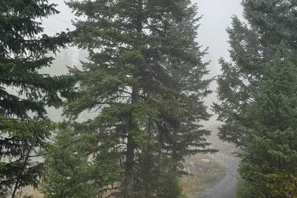
Old Kettle Falls East Road
This is a dirt-based forest road that is narrow and one vehicle wide, with room to pass. The trail travels through private land and connects you to state-owned land and National Forest land. The trail climbs over 600 feet in elevation, and when you enter the state land, you will encounter ruts and w...
Learn more about Old Kettle Falls East Road
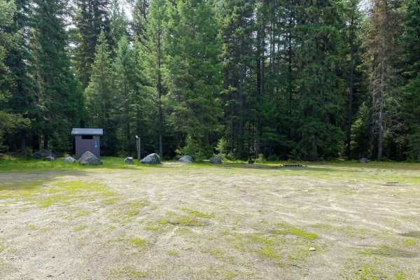
Quartz Mountain
The roads in the Quartz Mountain area are mainly gravel roads, with side roads being less travelled, two track roads that may be rutted, rocky and muddy in spots. Road to the old lookout site is in good shape. Easy ride.
Learn more about Quartz Mountain
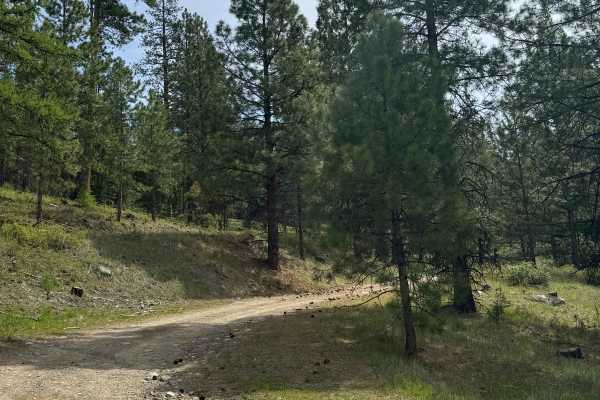
Shovel Creek - FS 2040-050
This is a dirt-based forest road with some gravel sections. The trail gradually climbs around 1,000 feet in elevation and is narrow and two-track most of the way. There are minor ruts and washouts under a foot deep, and any vehicle type should have no issue navigating this trail. The trail ends appr...
Learn more about Shovel Creek - FS 2040-050
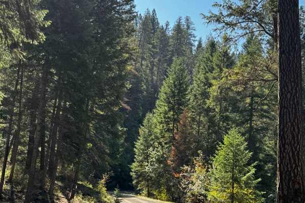
Refrigerator Canyon - FS 2053
This is a hard-packed, gravel-based forest road that has minor washboard. The trail travels through a canyon with minimal elevation change and is narrow, with room to pass. The trail provides dense forest views and an occasional view of the ridges around you. Camping is allowed along the trail, and ...
Learn more about Refrigerator Canyon - FS 2053
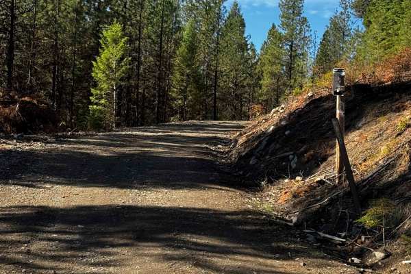
FS 2053-800
This dirt forest road is narrow and one vehicle wide, with little room to pass. The trail climbs over 700 feet in elevation and has several humps/whoops to navigate, as well as ruts and washouts up to a foot deep. There are a couple of mud holes, but overall it is an easy trail suitable for any vehi...
Learn more about FS 2053-800
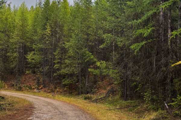
Storm King - FS 2086-780
This is a gravel based forest road that is narrow and one vehicle wide with room to pass. The trail gradually climbs over 500 feet in elevation until it dead ends where washout has taken the trail away. You will have dense forest views and at the end there is a large dispersed campsite with a pre-ex...
Learn more about Storm King - FS 2086-780
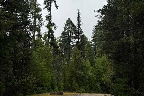
Granite Creek - FS 2086
This is a gravel-based forest road that is narrow and one vehicle wide, with places to pass. Most of the trail is two-track with minor ruts, washouts, and some potholes. The trail is mostly flat, with two mud holes on the north end. Overall, this is an easy trail that is suitable for any vehicle typ...
Learn more about Granite Creek - FS 2086
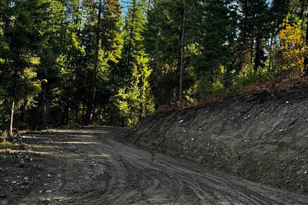
Quartz Mountain Summit - FS 2100
This is a dirt-based forest road that gradually climbs nearly 1,200 feet in elevation to the top of Quartz Mountain to the radio towers. The trail is narrow and one vehicle wide, with room to pass. As you near the top, there is a ledge on one side with a major drop-off. The trail has minor ruts and ...
Learn more about Quartz Mountain Summit - FS 2100
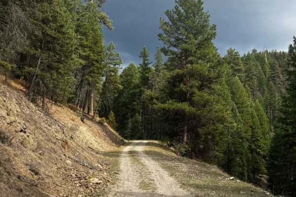
Eagle Rock - FS 2053-950
This trail starts off as gravel-based, then transitions to a dirt base. The trail climbs nearly 800 feet in elevation, and after the sharp hairpin turn, the trail narrows down to one vehicle wide with no room to pass. There are ruts and washouts up to a foot deep, a mud hole, and overgrown vegetatio...
Learn more about Eagle Rock - FS 2053-950
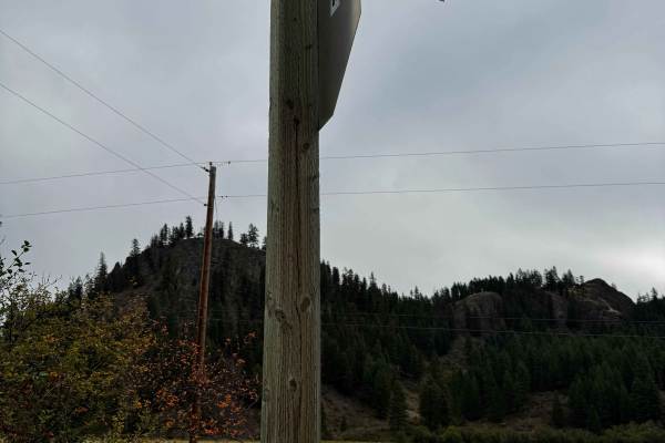
McMann Creek - FS 2100-500
This is a dirt-based forest road that starts from Highway 21 and travels through private property before crossing into the National Forest. The trail is narrow and one vehicle wide, with places to pass, and once you enter the National Forest, there are several switchbacks as you climb over 1,400 fee...
Learn more about McMann Creek - FS 2100-500
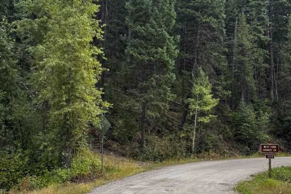
Gardner Creek - FS 3125
This is a hard-packed, gravel-based forest road that is wide enough for two vehicles to pass. The trail starts from Highway 20 and passes through a small portion of private property before entering the Okanogan National Forest. The trail has heavy washboard in some sections and some potholes, but it...
Learn more about Gardner Creek - FS 3125
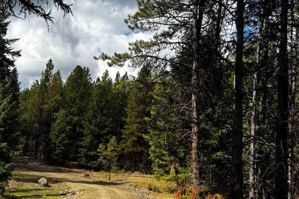
FS 2050-460
This is a dirt-based forest road that is narrow and one-vehicle-wide, with few places to pass. The trail gradually climbs nearly 550 feet in elevation to the top of a hillside, where it ends in a large dispersed campsite that is grassy with a pre-existing fire ring. The trail has minor ruts and was...
Learn more about FS 2050-460
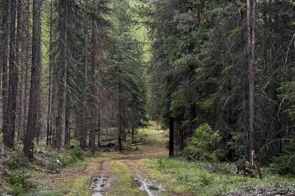
Rabbit - FS 2050-200
This is a dirt-based forest road that is narrow and one vehicle wide, with places to pass. The trail gradually climbs nearly 750 feet in elevation and travels through clear-cut areas. The trail has ruts and washouts up to a foot deep, some loose rock along the trail, and some embedded rock garden se...
Learn more about Rabbit - FS 2050-200
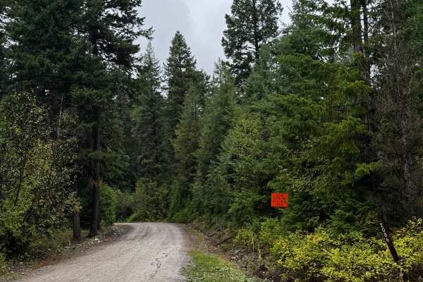
Handscrabble Mountain - FS 2086
This is a hard-packed, gravel-based forest road that is wide enough for two vehicles to pass. The trail climbs nearly 1,200 feet in elevation around Handscrabble Mountain. The trail has lots of potholes and some heavy washboard sections, as well as minor ruts and wash under a foot deep. You will hav...
Learn more about Handscrabble Mountain - FS 2086
ATV trails near Torboy, Washington
Explore ATV-friendly trails near you. These trails are accessible for vehicles up to 50 inches wide, perfect for ATVs and smaller off-road machines.
Republic-Curlew
The Republic-Curlew route is an excellent choice for beginner offroaders, families, and scenic tourers looking for a relaxed journey through the picturesque landscapes of northeastern Washington. Connecting the historic mining town of Republic to the charming community of Curlew, this scenic path ta...
Learn more about Republic-Curlew
Swan Lake 2
Swan Lake 2 is an easy 29.1-mile route connecting Republic, Washington, to the Swan Lake recreation area in the Colville National Forest. Rated 1 for technical difficulty, the trail follows well-maintained paved and gravel forest roads, making it ideal for beginners, stock high-clearance vehicles, a...
Learn more about Swan Lake 2
Herron Creek - FS 2154
This is a gravel-based forest road with over 1,200 feet of total elevation change. The trail is narrow and one vehicle-wide with room to pass, and there are ruts and washouts up to a foot and a half deep. There are rock garden sections with embedded boulders sticking out of the ground up to a foot, ...
Learn more about Herron Creek - FS 2154
Karamip - FS 2040-000
This forest road starts off gravel-based and turns to dirt. There are several cattle guards along the trail, so watch your speed. The trail has minor ruts and wash, and there are some bumpy washboard sections. The trail travels for 8.5 miles before dead-ending at an earth barrier where there is a di...
Learn more about Karamip - FS 2040-000
UTV/side-by-side trails near Torboy, Washington
Find UTV and side-by-side trails near you. These trails accommodate vehicles up to 60 inches wide, ideal for UTVs, side-by-sides, and wider off-road rigs.
Republic-Curlew
The Republic-Curlew route is an excellent choice for beginner offroaders, families, and scenic tourers looking for a relaxed journey through the picturesque landscapes of northeastern Washington. Connecting the historic mining town of Republic to the charming community of Curlew, this scenic path ta...
Learn more about Republic-Curlew
Swan Lake 2
Swan Lake 2 is an easy 29.1-mile route connecting Republic, Washington, to the Swan Lake recreation area in the Colville National Forest. Rated 1 for technical difficulty, the trail follows well-maintained paved and gravel forest roads, making it ideal for beginners, stock high-clearance vehicles, a...
Learn more about Swan Lake 2
Herron Creek - FS 2154
This is a gravel-based forest road with over 1,200 feet of total elevation change. The trail is narrow and one vehicle-wide with room to pass, and there are ruts and washouts up to a foot and a half deep. There are rock garden sections with embedded boulders sticking out of the ground up to a foot, ...
Learn more about Herron Creek - FS 2154
Karamip - FS 2040-000
This forest road starts off gravel-based and turns to dirt. There are several cattle guards along the trail, so watch your speed. The trail has minor ruts and wash, and there are some bumpy washboard sections. The trail travels for 8.5 miles before dead-ending at an earth barrier where there is a di...
Learn more about Karamip - FS 2040-000
The onX Offroad Difference
onX Offroad combines trail photos, descriptions, difficulty ratings, width restrictions, seasonality, and more in a user-friendly interface. Available on all devices, with offline access and full compatibility with CarPlay and Android Auto. Discover what you're missing today!
Open Trail Map