Trail Overview
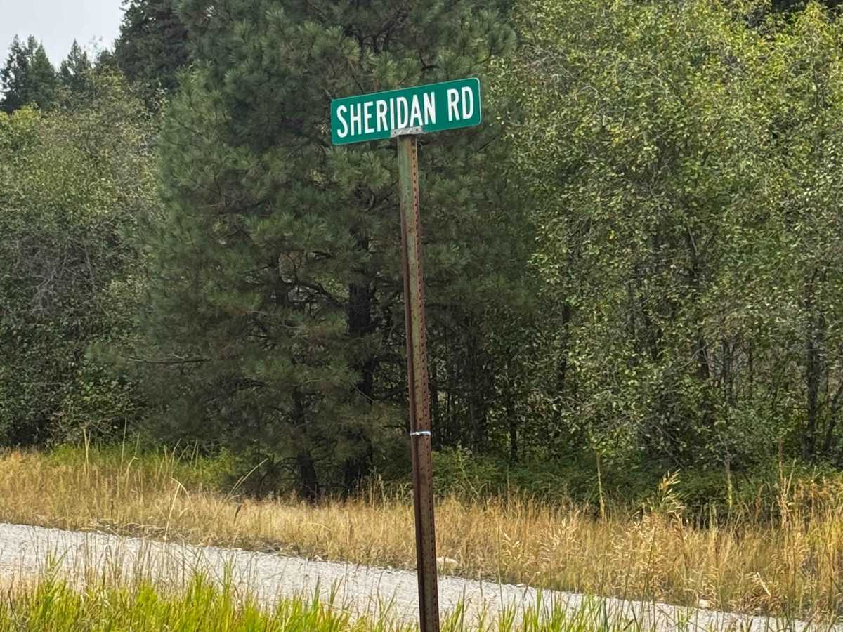
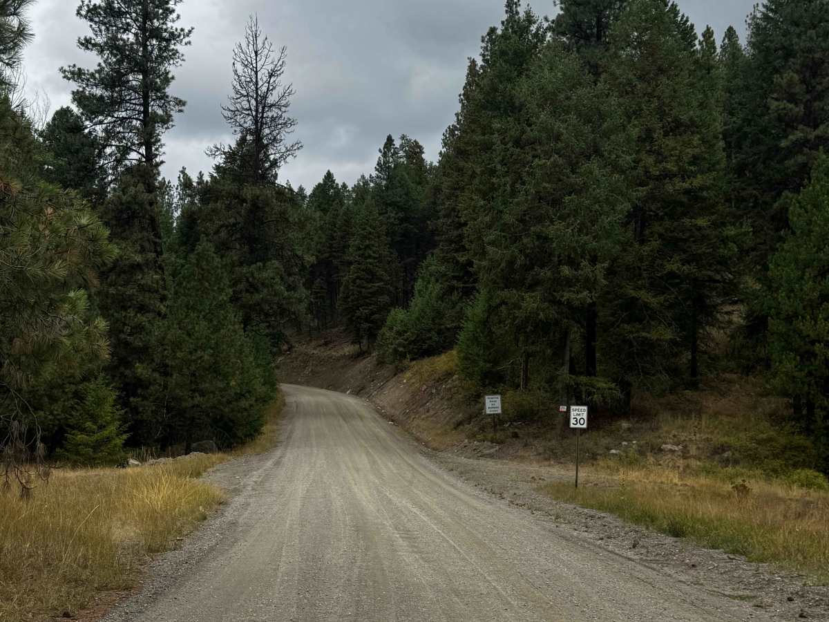
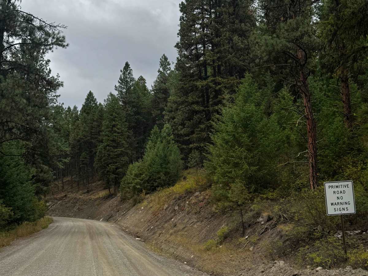
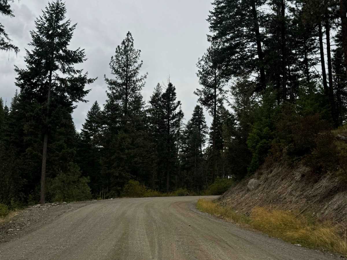
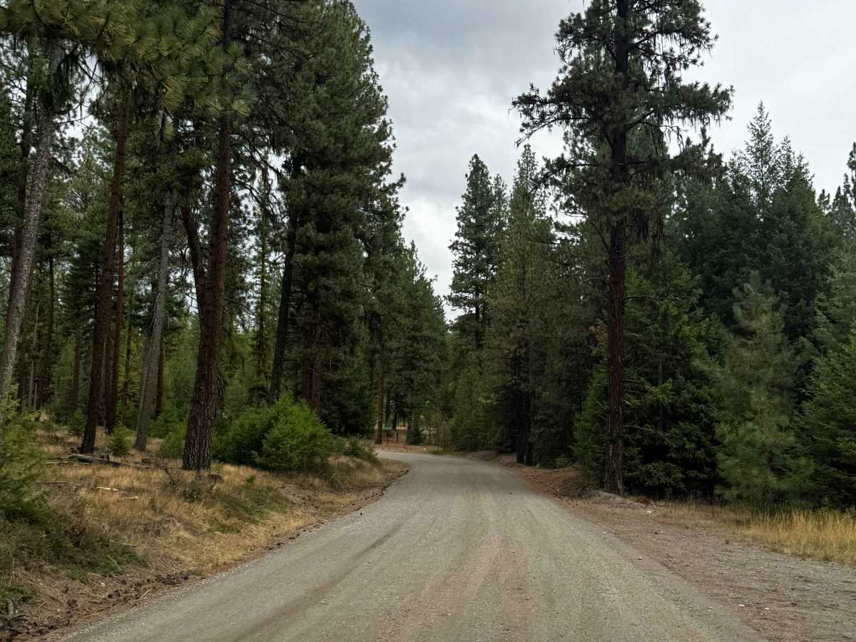
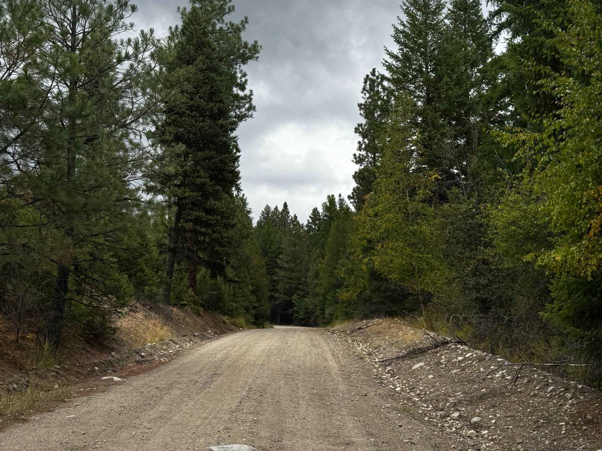
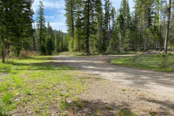
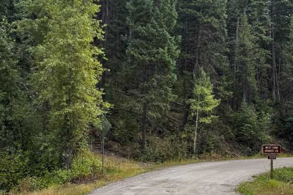
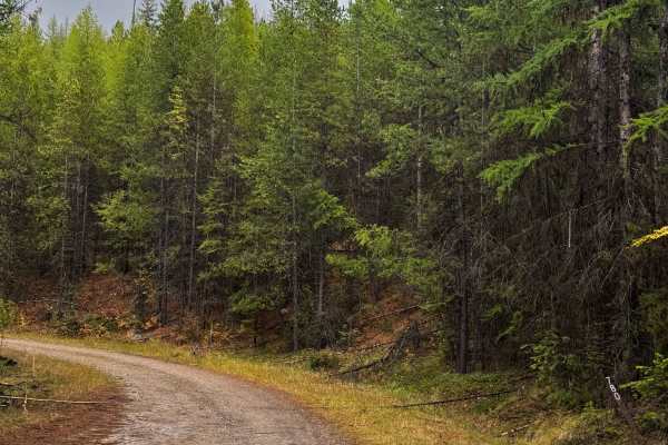
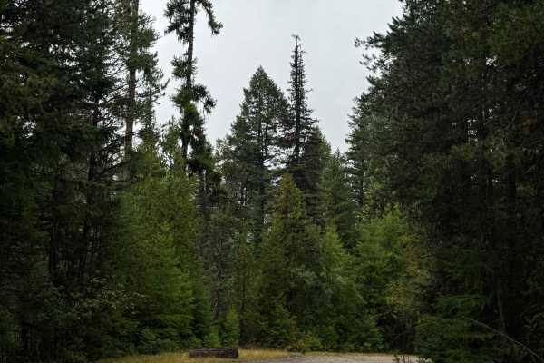
This is a hard-packed, gravel-based road open to the public that leads into the National Forest. The trail connects you to the vast network of trails and passes through private property. The road has ruts and wash up to a foot and some heavy washboard, making the trail rough as it climbs over 1,200 feet in elevation. Once you cross the cattle guard, there is a hiking trail and a sign marking the boundary of the National Forest, and from that point camping and other activities are allowed. Respect the private property and do not trespass. There are no amenities on the trail and little cell phone service. From the start of this trail, you are approximately 10 minutes from the nearest services in Republic, Washington.
Difficulty
Gravel-based road that leads into the National Forest and connects you to the vast trail system. There are ruts/washouts up to a foot deep and some heavy washboard, but this trail is suitable for any vehicle type.