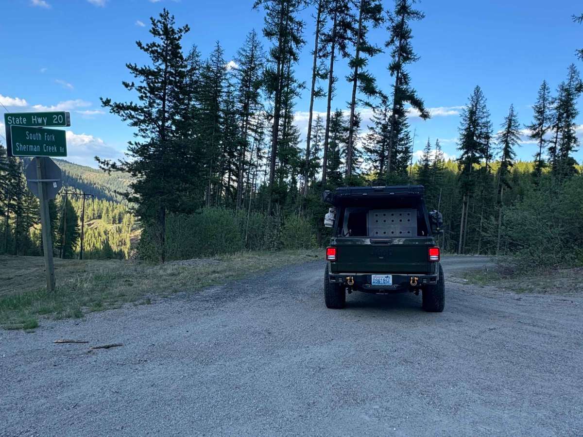
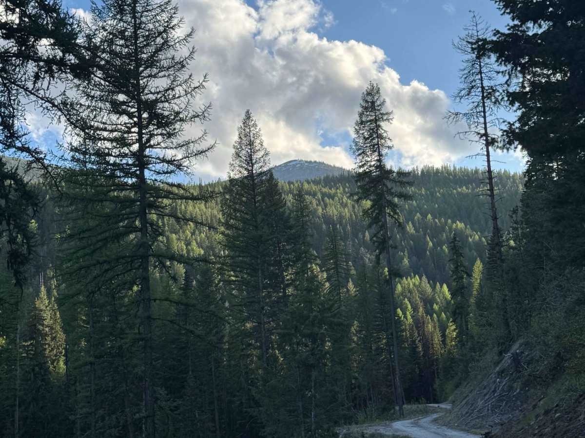
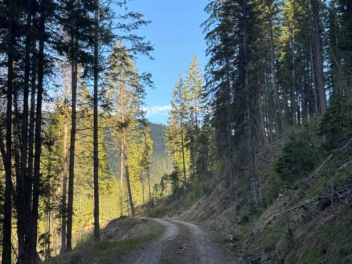
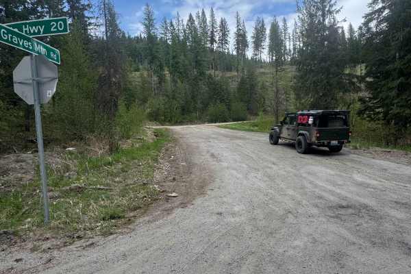
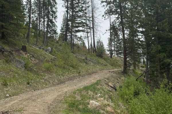
Trail Overview
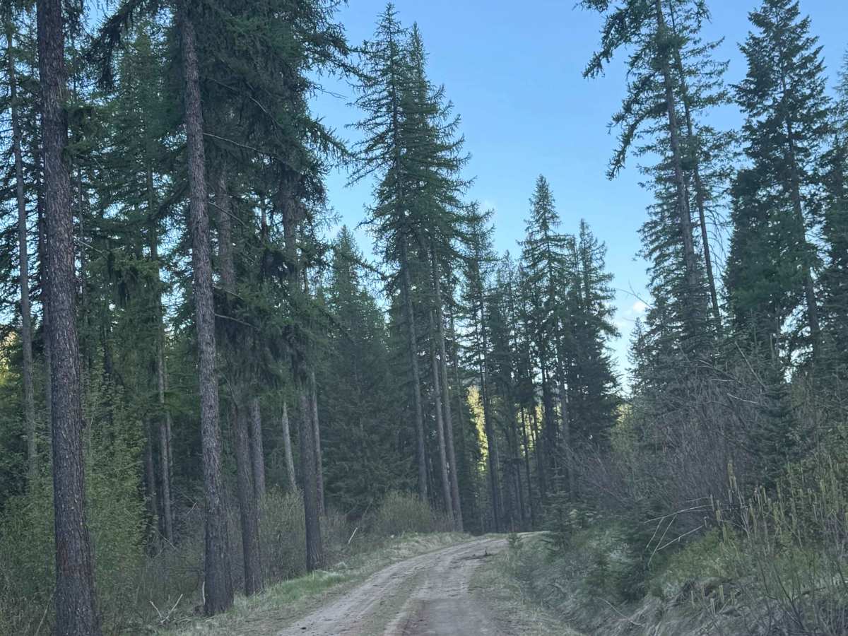
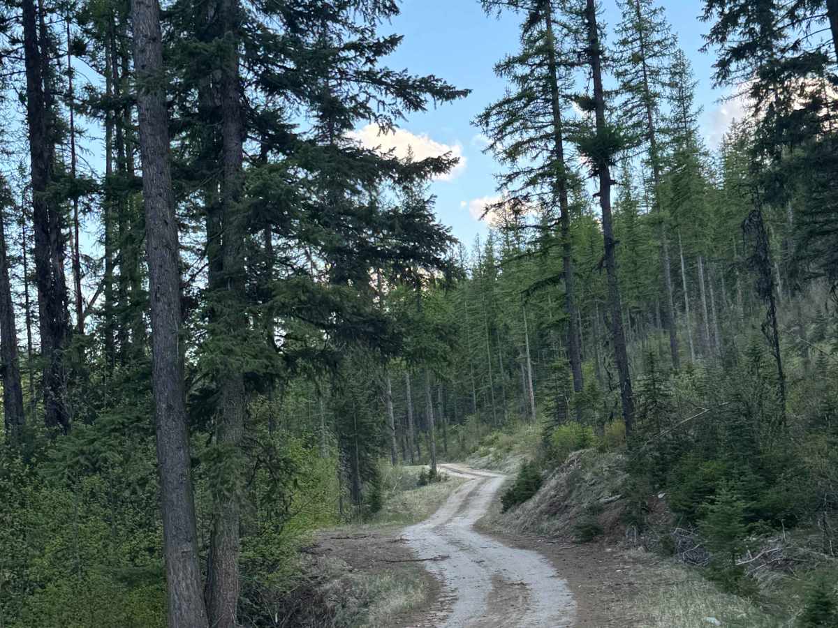
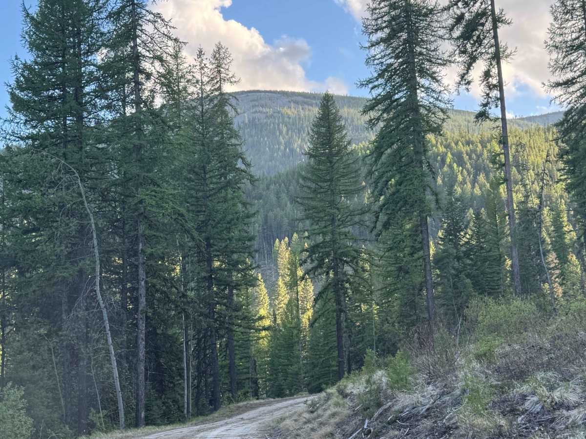
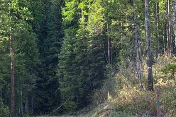
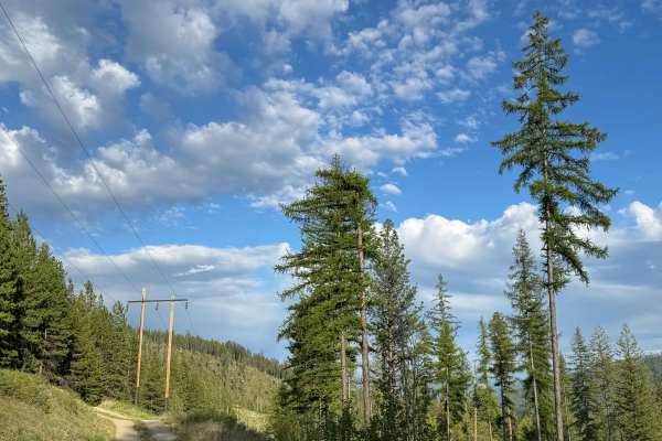
This forest road creates a loop as it runs from Highway 20 south into the forest and then returns approximately 12-13 miles down the Highway. There are several other trails in the area to explore that split off from this one. The western half of this trail is dirt-based, narrow, and bumpy, while the eastern half is gravel-based and much smoother. Even on the dirt half, there are only minor ruts and wash, making this trail suitable for any vehicle type. The forest views are nice, but you will also be able to see some surrounding peaks and rock faces. The eastern portion of this trail travels alongside a creek, the South Fork Sherman Creek, and there are sections with ledges and drop-offs, but there are places to pull over and pass other vehicles. Cell phone service was decent along this trail, and camping is allowed throughout, with several large pull-off dispersed camping sites with pre-existing fire rings. From the eastern point of the trail at Highway 20, you are approximately 10 minutes from Kettle Falls, Washington, which is the closest services and supplies.
Difficulty
The west half of the trail is dirt-based and bumpy, while the east half is gravel and mostly smooth. Some minor wash and ruts, but any vehicle type should have no issue on this trail.