
Dirt Bike Trails
Near Cornish, Utah
Explore All Dirt Bike Trails Near Cornish, Utah
Dirt Bike Trails Near Cornish, Utah
Discover the best dirt bike trails near you. Browse trail maps, check difficulty ratings, and find your next adventure — whether you're looking for a quick ride or an all-day expedition.
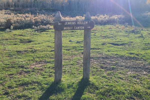
Jenkin's Hollow
Jenkin's Hollow is a fun 50" ATV trail in the Malad range just west of Weston, ID. You can access the trail on the north from Dry Canyon campground. On the south side, you can access from Black Canyon Road. This trail connects Black Canyon to Dry Canyon.
Even though the map shows this as a road for...
Learn more about Jenkin's Hollow
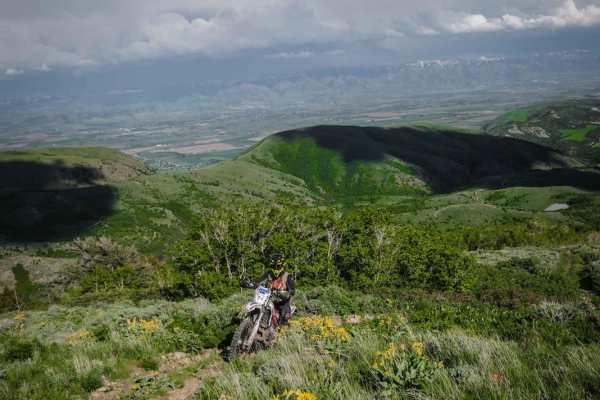
Old Baldy Connector 7438
This is a 50" trail starting off Lower Fivemile Road. It goes past a beautiful small lake, then comes to an intersection with Weston 7451 and you stay right for this trail. It's mostly two-track width and made up of many steep loose rocky climbs, and it's very dusty. It's a bumpy, rocky trail the wh...
Learn more about Old Baldy Connector 7438
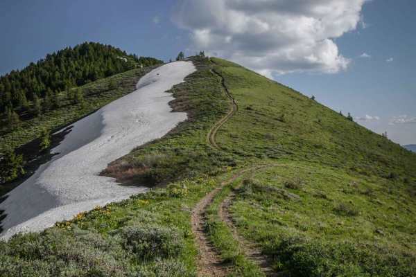
East Slope of Old Baldy Peak
This is a really fun single track with fantastic views overlooking the mountains near Preston, Idaho. It's a ridgeline trail over several rolling green mountains. The south end of the trail starts on a really steep and rocky hill climb up to the summit of the first mountain, with a steep decline bac...
Learn more about East Slope of Old Baldy Peak
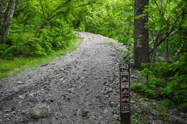
Ruben Hollow to Weston Peak 7443
This is an epic single track in the Caribou National Forest near Preston, Idaho. It is full of narrow side hill sections, wildflowers in the spring and summer, and amazing views of the surrounding mountain valleys. From the south end of the trail, it starts at an unmarked intersection with the East ...
Learn more about Ruben Hollow to Weston Peak 7443
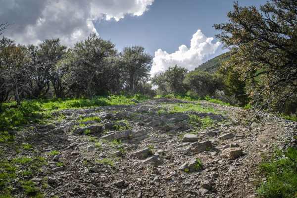
Upper Fivemile Road 7436
This is a short 50" trail that connects the Fivemile dirt road with the ATV and single track 7433 trails. From the north end it's a steady downhill with some more technical features. It drops 800 feet in 1.6 miles. It's a road width trail for most of it, but it has steep downhills with twisty turns....
Learn more about Upper Fivemile Road 7436
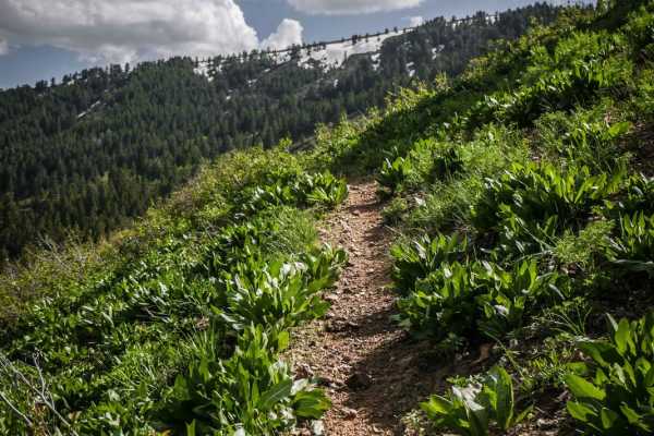
Clifton Basin to Weston Peak Single Track - 7433
This is one of several awesome single tracks in the Caribou National Forest near Preston, Idaho. It is fun, fast and flowy, and very narrow. The single track traverses across the side of a green rolling hill side with mild exposure as you are side-hilling. There are a couple tight turns that come up...
Learn more about Clifton Basin to Weston Peak Single Track - 7433
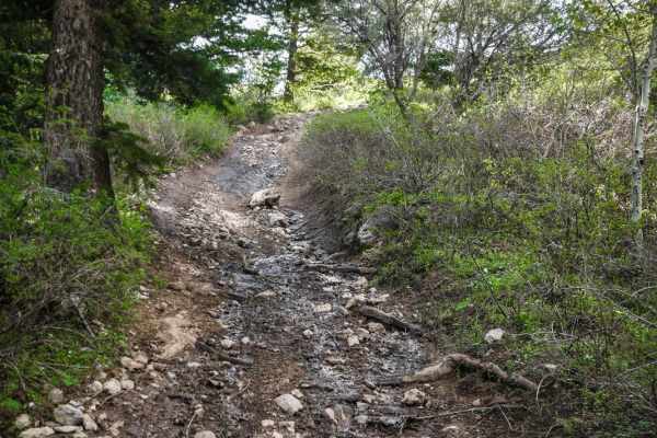
Clifton Basin to Weston Peak ATV 7433 (Part 2)
This is an additional segment of ATV trail 7433 that starts after the single-track portion of 7433. This last segment of the trail takes you straight up the face of the mountain up to a beautiful ridge line overlooking the whole mountain range and lakes in the valleys below you. The last segment is ...
Learn more about Clifton Basin to Weston Peak ATV 7433 (Part 2)
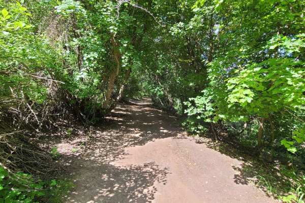
Maple to Sugar Creek
Maple to Sugar Creek connects the Maple Creek parking area to the Sugar Creek ATV trail. It is a short, but very rocky trail. Starting from Maple Creek, you'll follow the trail for about a half mile until the trail crosses the creek. After crossing the creek, you can take the steep route to the left...
Learn more about Maple to Sugar Creek
Hyde Park Mine
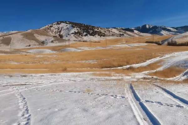
Just north of the town of Logan is Hyde Park. There are little trails over this hill. From big hill climbs to just easy trails. You can expect to see deer in this area. If you happen to find a mine you can climb down in if you dare.
Learn more about Hyde Park Mine
Clifton Basin to Weston Peak ATV 7433 (Part 1)
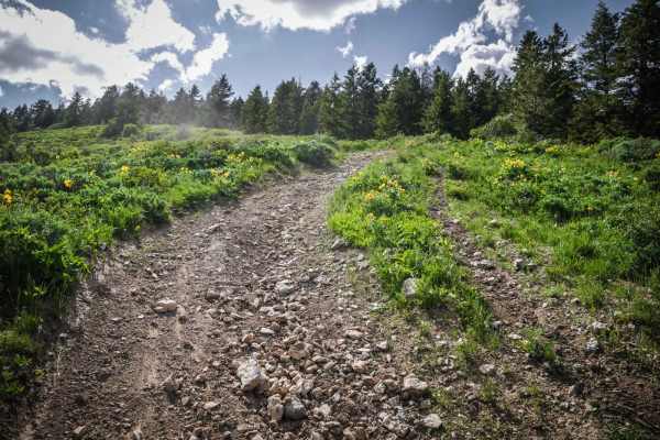
This short ATV trail is part of the trail system in the Caribou National Forest near Preston, Idaho. It is a moderately challenging trail for ATVs and dirt bikes due to lots of small and big loose rocks in the trail, and several steep climbs with roots and ruts. The trail is pretty bumpy due to all ...
Learn more about Clifton Basin to Weston Peak ATV 7433 (Part 1)
North Weston Peak 7444
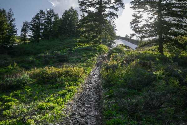
North Weston Peak is a short but great single track in the Caribou National Forest near Preston, Idaho. The east end starts at the Clifton Basin Trailhead, and it runs directly west to connect to the Ruben Hollow single track. It gains 1,100 feet over 1.5 miles and takes you up to a saddle with amaz...
Learn more about North Weston Peak 7444
Sugar Creek
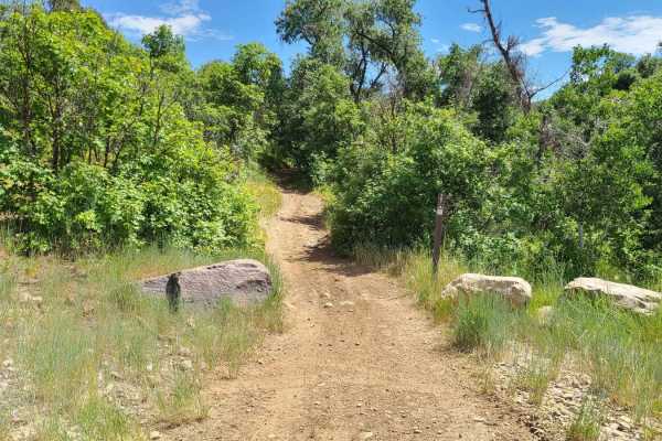
Sugar Creek ATV trail roughly follows Sugar Creek up the canyon. It is a 50" ATV trail that has sections that are smooth and flowy and more sections that are rocky and technical. The trail starts at the parking lot shortly after entering Forest Service property. As the trail goes, you'll pass the tr...
Learn more about Sugar Creek
Deep Creek to Ruben Hollow 7440
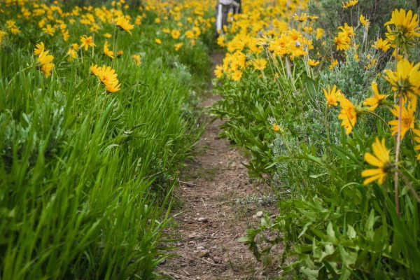
This is a 50" designated trail in the Caribou National Forest between Malad City and Preston, Idaho. Although designated for ATVs, the trail has narrowed over time as it's probably mostly ridden by dirt bikes, and would now be a challenge for ATVs, especially in a narrow ravine in the beginning. On ...
Learn more about Deep Creek to Ruben Hollow 7440
Ruben Hollow to Davis Basin 7441
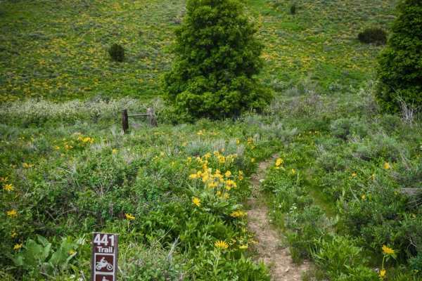
This short ATV trail is one of several ATV trails in the Caribou National Forest between Malad and Preston, Idaho. The trails in this area can be ridden as a fun day ride in combination with other jeep roads or single track. On the west end of the trail, it departs from Third Creek Road, a dirt road...
Learn more about Ruben Hollow to Davis Basin 7441
Sky Line
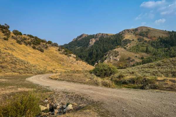
This 9-mile trail, winding along the ridge of the Bannock Mountain Range within the Caribou National Forest, offers an enjoyable drive. Starting near Malad and finishing near Weston (or vice versa), the route features mostly easy-to-navigate dirt roads. Although occasional minor ruts may appear, a s...
Learn more about Sky Line
Steep Canyon and Crescent Lake
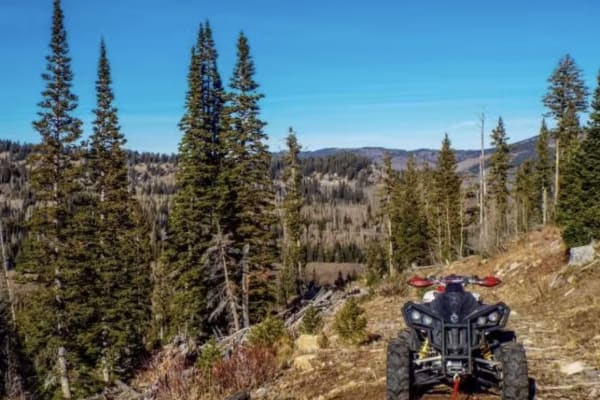
Steep Canyon and Crescent Lake is a scenic, approximately 2-mile offroad route in the Cache National Forest that offers a short but challenging climb for intermediate offroaders looking to access high-alpine views and hiking opportunities. Branching off Franklin Basin Road, which can be accessed fro...
Learn more about Steep Canyon and Crescent Lake
Trail Hollow (Malad)
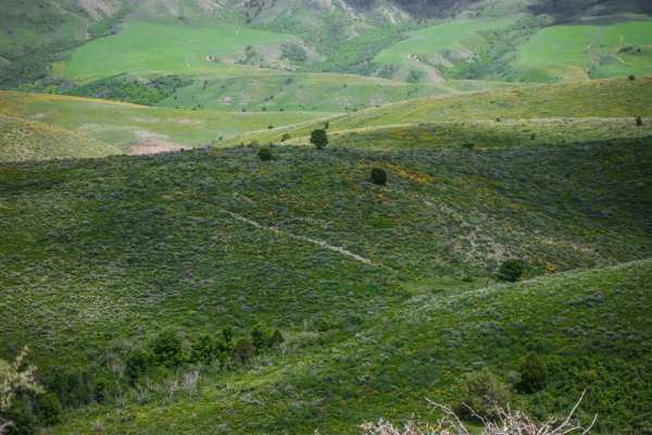
This is a short ATV trail in the Caribou National Forest that can be explored in combination with several other easy ATV trails near Malad, Idaho. The trail is two-track width and flows over several rolling green wide open hills overlooking the rural town of Malad. It's absolutely full of stunning w...
Learn more about Trail Hollow (Malad)
Oxford Peak Loop
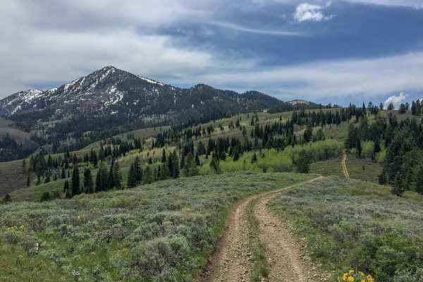
This trail is really amazing. It is only about 15 minutes off of I-15 making it pretty easy to get to. The trail makes a large loop around Oxford Peak. This is the peak the dominates the view on the east side of I-15 on the Malad Pass. Oxford Peak is also the highest point of the Bannock Mountains, ...
Learn more about Oxford Peak Loop
Third Creek to Ruben Hollow 7445
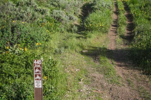
This is a short and easy ATV trail that can be used as a connection to the Ruben Hollow single track. From the south end, it starts at a shallow short creek crossing at the three way intersection with ATV 7441 and the Ruben Hollow single track. Part of the trail has water running down the trail from...
Learn more about Third Creek to Ruben Hollow 7445
Worm Creek
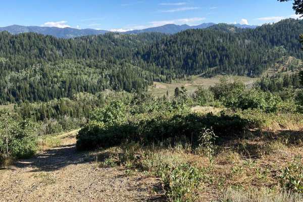
Worm Creek is an old jeep road converted to a 50-inch. The trail crosses Worm Creek a dozen times. The creek is seasonal, with heavy snowmelt flow in the spring and dry conditions mid-summer. The trail consists of fun-flowing sections in the scrub maple intermingled with rocky creek crossings and ar...
Learn more about Worm Creek
ATV trails near Cornish, Utah
Explore ATV-friendly trails near you. These trails are accessible for vehicles up to 50 inches wide, perfect for ATVs and smaller off-road machines.
Jenkin's Hollow
Jenkin's Hollow is a fun 50" ATV trail in the Malad range just west of Weston, ID. You can access the trail on the north from Dry Canyon campground. On the south side, you can access from Black Canyon Road. This trail connects Black Canyon to Dry Canyon.
Even though the map shows this as a road for...
Learn more about Jenkin's Hollow
Old Baldy Connector 7438
This is a 50" trail starting off Lower Fivemile Road. It goes past a beautiful small lake, then comes to an intersection with Weston 7451 and you stay right for this trail. It's mostly two-track width and made up of many steep loose rocky climbs, and it's very dusty. It's a bumpy, rocky trail the wh...
Learn more about Old Baldy Connector 7438
Upper Fivemile Road 7436
This is a short 50" trail that connects the Fivemile dirt road with the ATV and single track 7433 trails. From the north end it's a steady downhill with some more technical features. It drops 800 feet in 1.6 miles. It's a road width trail for most of it, but it has steep downhills with twisty turns....
Learn more about Upper Fivemile Road 7436
Clifton Basin to Weston Peak ATV 7433 (Part 2)
This is an additional segment of ATV trail 7433 that starts after the single-track portion of 7433. This last segment of the trail takes you straight up the face of the mountain up to a beautiful ridge line overlooking the whole mountain range and lakes in the valleys below you. The last segment is ...
Learn more about Clifton Basin to Weston Peak ATV 7433 (Part 2)
UTV/side-by-side trails near Cornish, Utah
Find UTV and side-by-side trails near you. These trails accommodate vehicles up to 60 inches wide, ideal for UTVs, side-by-sides, and wider off-road rigs.
Hyde Park Mine
Just north of the town of Logan is Hyde Park. There are little trails over this hill. From big hill climbs to just easy trails. You can expect to see deer in this area. If you happen to find a mine you can climb down in if you dare.
Learn more about Hyde Park Mine
Sky Line
This 9-mile trail, winding along the ridge of the Bannock Mountain Range within the Caribou National Forest, offers an enjoyable drive. Starting near Malad and finishing near Weston (or vice versa), the route features mostly easy-to-navigate dirt roads. Although occasional minor ruts may appear, a s...
Learn more about Sky Line
Steep Canyon and Crescent Lake
Steep Canyon and Crescent Lake is a scenic, approximately 2-mile offroad route in the Cache National Forest that offers a short but challenging climb for intermediate offroaders looking to access high-alpine views and hiking opportunities. Branching off Franklin Basin Road, which can be accessed fro...
Learn more about Steep Canyon and Crescent Lake
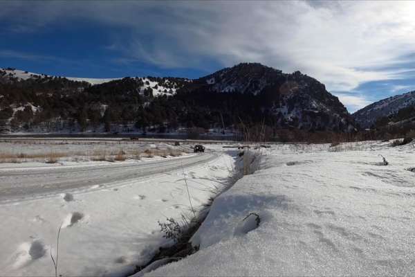
Oneida Narrows Reservoir
Oneida Narrows Reservoir is an easy 14.3-mile dirt and gravel Forest Service road tracing the Bear River canyon in southeastern Idaho. The route gently climbs 1,006 feet from an elevation of 4,642 feet to 5,177 feet. It features dramatic canyon walls, sagebrush hillsides, and abundant wildlife, and ...
Learn more about Oneida Narrows Reservoir
The onX Offroad Difference
onX Offroad combines trail photos, descriptions, difficulty ratings, width restrictions, seasonality, and more in a user-friendly interface. Available on all devices, with offline access and full compatibility with CarPlay and Android Auto. Discover what you're missing today!
Open Trail Map