Oneida Narrows Reservoir

Total Miles14.3
Technical Rating
1Easy
Best TimeSpring, Summer, Fall, Winter
Trail TypeFull-Width Road
Accessible By
Open Trail Map

Trail Overview

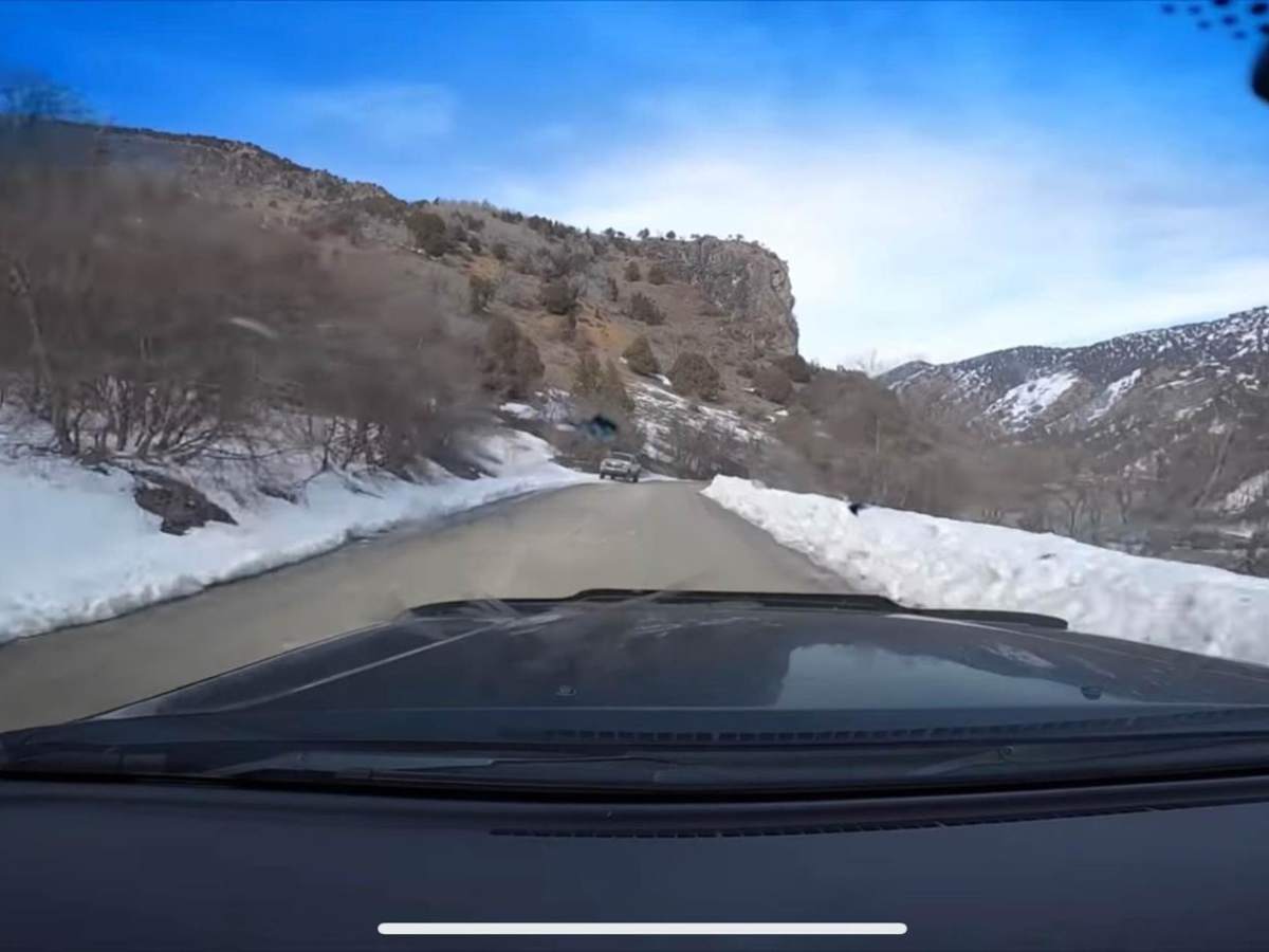
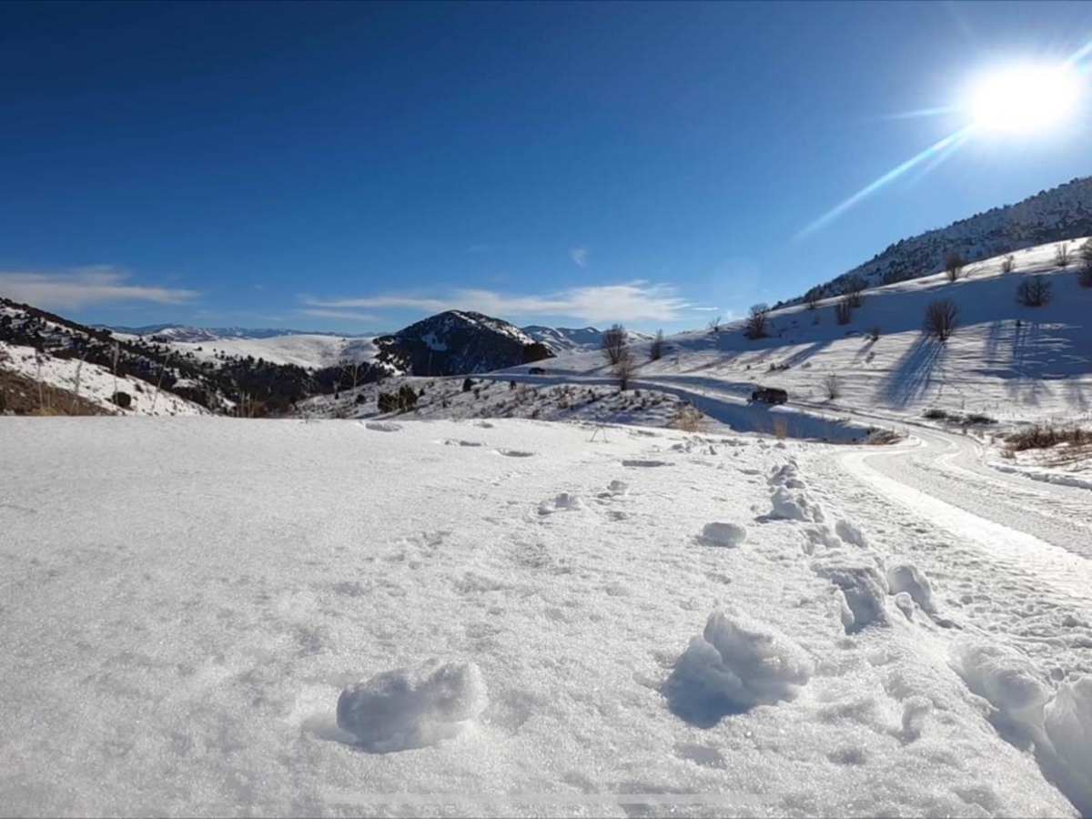
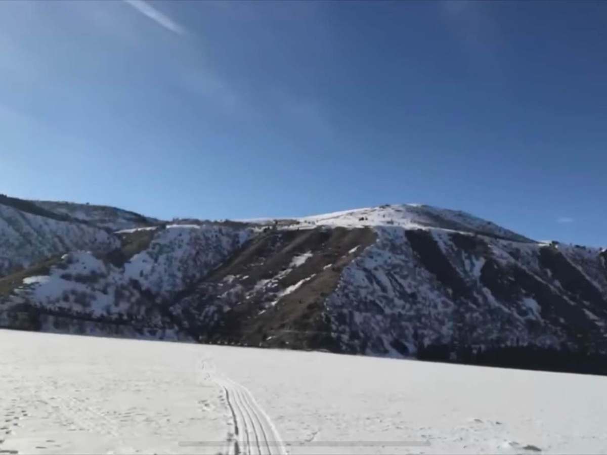
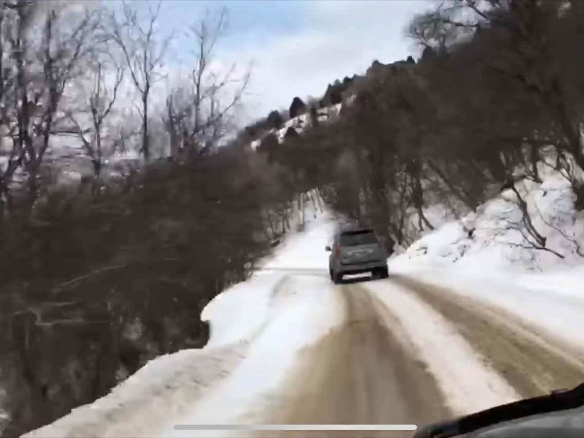
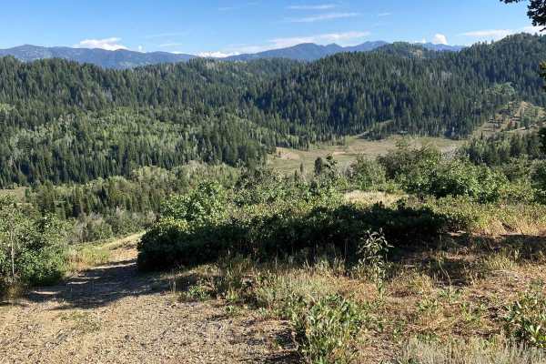
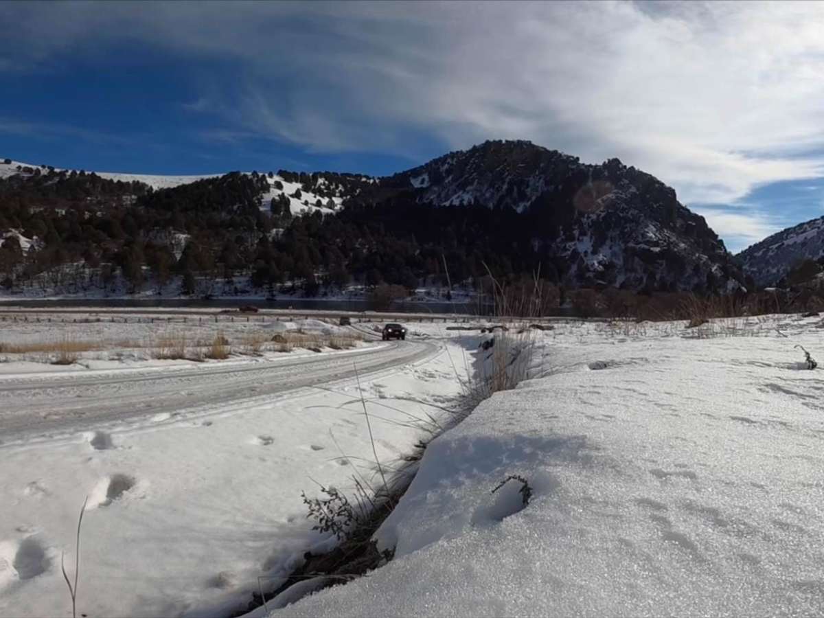
Oneida Narrows Reservoir is an easy 14.3-mile dirt and gravel Forest Service road tracing the Bear River canyon in southeastern Idaho. The route gently climbs 1,006 feet from an elevation of 4,642 feet to 5,177 feet. It features dramatic canyon walls, sagebrush hillsides, and abundant wildlife, and is suitable for standard two-wheel-drive vehicles under dry conditions. The road leads directly to the reservoir, offering access to dispersed camping, boating, kayaking, and fishing. Popular nearby destinations include the historic Maple Grove Hot Springs. While accessible late spring through fall, winter snows make the route slick and potentially impassable without four-wheel drive.

Photos of Oneida Narrows Reservoir

Difficulty

This is a nice Forest Service road.

Technical Rating

1

Status Reports

Add Status Report
Ben Bowman
Sep 11, 2026
2026 Toyota Tacoma
Open
Normal
Road is in great shape, could easily be done in a car with low clearance. Great views of the river and reservoir. It is a two lane road that switches to one lane, and if you meet someone coming the opposite direction someone will have to backup to a turnout to allow passing. It does have steep drop offs to the lake below with no guardrails. Easy trail to navigate and very scenic.
Cole Eades
Jun 16, 2023
2019 Ford F-Series
Temporarily Closed
Weather Event
Amanda Zito
May 31, 2023
Temporarily Closed
Posted Sign

Oneida Narrows Reservoir Trail can be accessed by the following ride types:

  • Single Track
  • 50 Inch
  • 60 Inch
  • High Clearance
  • Full Width

Access Description

The route is managed by the U.S. Forest Service and is generally open year-round, though heavy winter snow can make the road impassable for standard vehicles without four-wheel drive. No permits are required to drive the road, but standard day-use or camping fees may apply at designated recreation sites and campgrounds.

Oneida Narrows Reservoir Map

The onX Offroad Difference

onX Offroad combines trail photos, descriptions, difficulty ratings, width restrictions, seasonality, and more in a user-friendly interface. Available on all devices, with offline access and full compatibility with CarPlay and Android Auto. Discover what you're missing today!

Open Trail Map