
Dirt Bike Trails
Near Colville, Washington
Explore All Dirt Bike Trails Near Colville, Washington
Dirt Bike Trails Near Colville, Washington
Discover the best dirt bike trails near you. Browse trail maps, check difficulty ratings, and find your next adventure — whether you're looking for a quick ride or an all-day expedition.
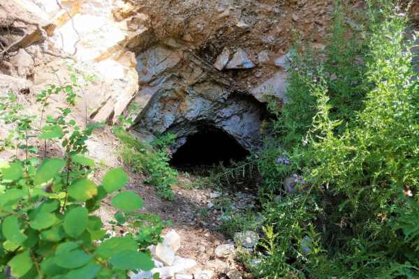
Colville-Dominion Mtn
The Colville-Dominion Mountain OHV Trail is an easy, 9.3-mile scenic drive starting from Colville and climbing up toward the Old Dominion Mine area, making it perfect for beginners and casual off-roaders looking for a relaxed tour. Departing from the fairgrounds parking lot in Colville, this point-t...
Learn more about Colville-Dominion Mtn
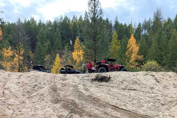
-
Gravel USFS roads make this an easy trail for any vehicle, but 4WD is recommended for wet and snowy conditions. There are no obstacles other than mud puddles and ruts in places. It's a great family ride and is excellent hunting territory within the Colville National Forest, plus features a walking ...
Learn more about -
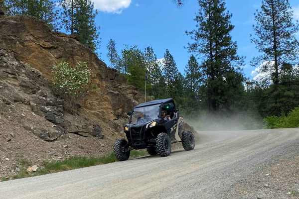
Rigley Lake
Rigley Lake offers miles of state DNR lands for riding. This route features a visit to Rigley Lake, then to the NW corner of the DNR lands for a viewpoint overlooking Lake Roosevelt National Recreation Area and into Canada. The route then heads down county roads to the Columbia River where OHVs have...
Learn more about Rigley Lake
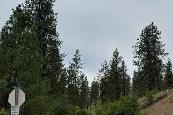
Bisbee Mountain Road
This trail is on Washington DNR Land, and a Discover Pass is required to enjoy this location. Beginning from Highway 20 in Kettle Falls, Washington, this trail is dirt-based with rocky sections and gradually climbs up the southwest side of Bisbee Mountain. The trail is narrow and one lane most of th...
Learn more about Bisbee Mountain Road
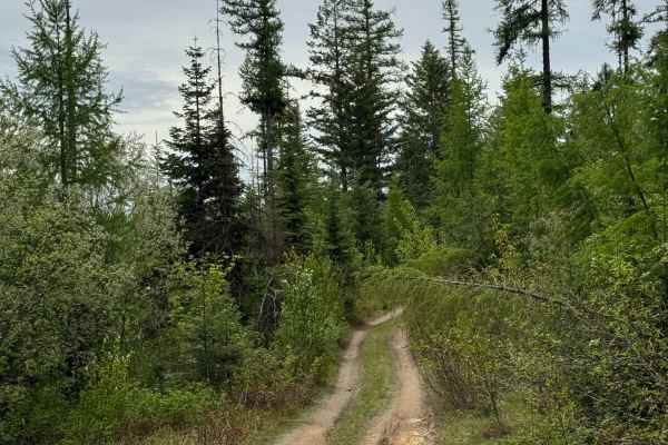
DNR Road E363717
This is a narrow, two-track road on Washington DNR Land. The trail is dirt-based with rocky sections and loose rock. It is extremely narrow, and there are few places to pass. Camping is available along this route within 100 feet of the road on either side, and you may stay up to 21 days. A Discover ...
Learn more about DNR Road E363717
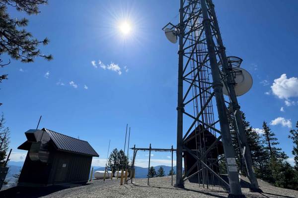
Radio Tower - FS 9500-585
This is a gravel-based trail that travels along a ridge of Bisbee Mountain on the State of Washington land. The trail is narrow and 2-track in most areas, but there were minimal ruts and a relatively smooth ride. The trail is flat for the most part and will take you past some radio towers that have ...
Learn more about Radio Tower - FS 9500-585
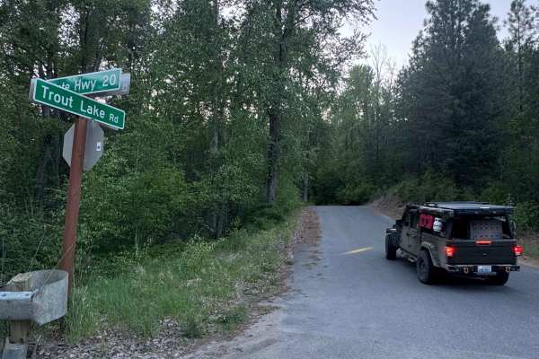
Trout Lake Road
This is a hard-packed, gravel forest road that leads from Highway 20 to Trout Lake and the campground. The trail is smooth with some potholes and washboard, but is suitable for any vehicle type. The trail is narrow in places with overgrown vegetation and places to pass. There are pull-off dispersed ...
Learn more about Trout Lake Road
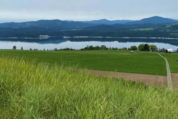
Daisy
Family oriented route, paved and gravel county roads. Road travels over two passes, through small farm country. Expect dusty conditions, except following storms. Some areas can be muddy then. Be alert for two-way traffic, along with cattle in the road in open range areas on the west side of the rout...
Learn more about Daisy
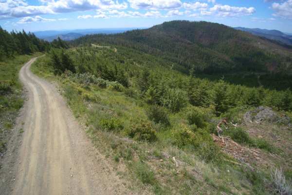
Stensgar Mountain
Stensgar Mountain is a scenic 56-mile loop in northeastern Washington that offers offroaders an engaging excursion through varying terrain from valley floors to high mountain ridges. Ideal for street-legal four-wheel-drive vehicles, SxSs, and dual-sport motorcycles, this route connects the communiti...
Learn more about Stensgar Mountain
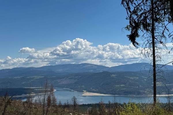
Nancy Creek Road
This is a gravel-based road through the State of Washington owned land. The trail climbs gradually to Bisbee Mountain, gaining approximately 1,973 feet in elevation. The trail is narrow with room for passing, and it is a shelf road in a few sections with ledges and switchbacks. There was minimal was...
Learn more about Nancy Creek Road
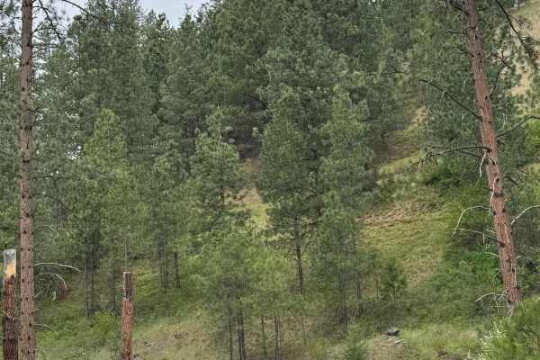
Coyote - FS 2000-085
This is a gravel-based forest road in the Coville National Forest. The road begins wide with some washboard sections, so airing down will make this much more enjoyable. After a short distance, the road narrows and becomes mostly two-track. There are minor ruts and washes along with some potholes on ...
Learn more about Coyote - FS 2000-085
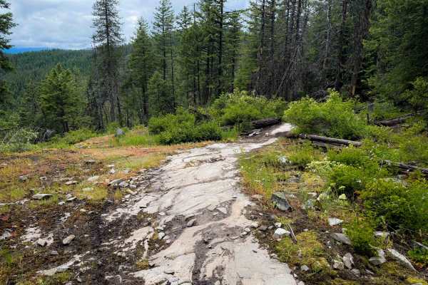
Radar Dome
Radar Dome is a long intermediate single track in the Little Pend Oreille Trail System that has frequent moderate rock features and accesses the Radar Dome Historical Site on top of the Radar Dome Peak – featuring several abandoned buildings from the 1950’s that used to be a US Air Force Radar Base....
Learn more about Radar Dome
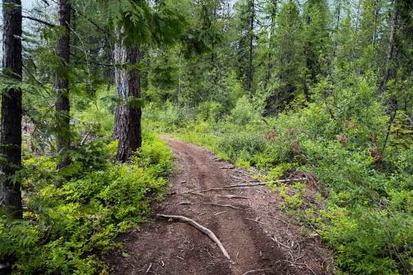
142 (ATV)
This is a 5.2-mile-long segment of ATV trail. It starts on the east end at the Little Pend Oreille ORV Trailhead, and it goes south through some flat meadows past a couple of nice dispersed campsites. After passing the intersection with the Clark Creek Single Track, it starts climbing through a dens...
Learn more about 142 (ATV)
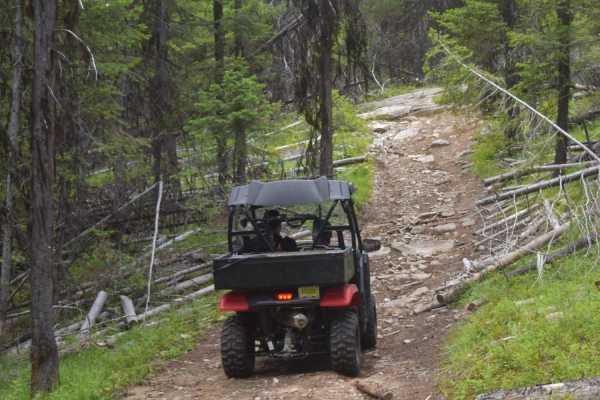
Twin Sisters Trail
Challenging trail for novice, less-experienced riders. Has a variety of small rocky ledges, steep pitches, and off-camber terrain to negotiate. Western end of route is less challenging than eastern half. Mountain trail with some open stretches for viewpoints. Mostly forested. Few pullouts, so be awa...
Learn more about Twin Sisters Trail
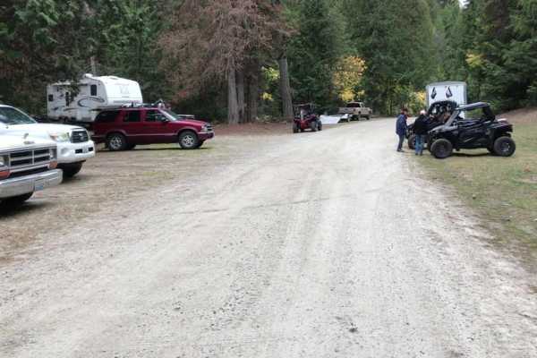
Mack King Trail
Challenging trail for novice, less-experienced riders. Has a variety of small rocky ledges, steep pitches, and off-camber terrain to negotiate. Western end of route is less challenging than eastern half. Mountain trail with some open stretches for viewpoints. Mostly forested. Few pullouts, so be awa...
Learn more about Mack King Trail
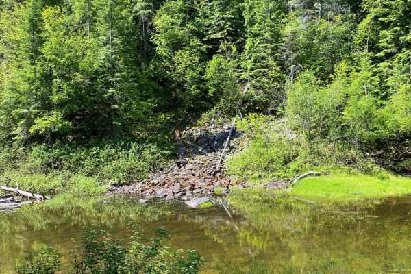
Donaldson Draw
Donaldson Draw is an easy, scenic gravel route ideal for beginners, families, and high-clearance vehicles seeking a relaxed ride to a beautiful viewpoint in the Kettle Range of the Colville National Forest. Originating near the South Huckleberry trails staging area, this well-maintained gravel road ...
Learn more about Donaldson Draw
Thompson Ridge Trail
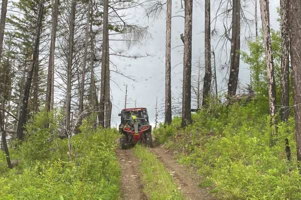
This is a short out and back trail that leads to a ridge top, with a short hike to the top. Smaller, two wheel drive quads may have a diffiuclt time on this route. Several off-camber, pitchy, rocky steps will challenge riders. Long wheel base 4-seat SxS's may also have difficulty negotiating tight t...
Learn more about Thompson Ridge Trail
Clark Creek
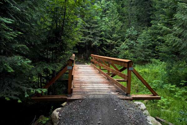
Clark Creek is a 2.5-mile-long, moderately easy single track in the Little Pend Oreille Trail System. It connects the ATV segment of Trail 142 to the Radar Dome singletrack; thus, it’s a quick way to access the Radar Dome Historical Site from the Little Pend Oreille ORV Trailhead. The trail is a con...
Learn more about Clark Creek
Radar Dome Scenic Route
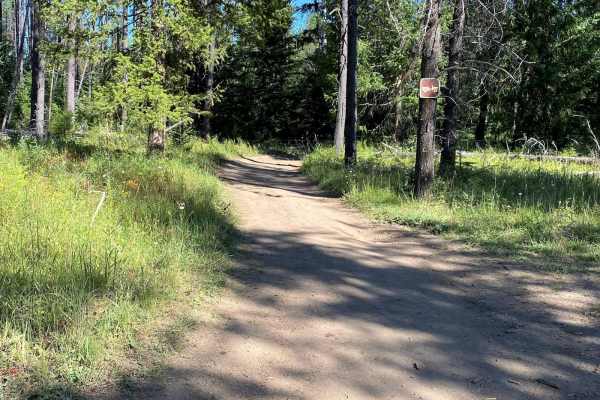
This easy route follows shady, forested roads through Sherry Creek, Flodelle Creek and Tacoma Creek areas up to the summit of Radar Dome. The old radar site is an interesting area used for paintball wars, plus it has great views in all directions. This route returns on the same roads, but you can a...
Learn more about Radar Dome Scenic Route
Hartill Meadows
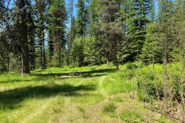
Easy road ride. Mostly forested, with some open areas where you can view the valleys and mountains. Makes for a nice 2 hour excursion ride for family outing. Road may be rutted. Hartill Meadows is a small dispersed camping area.
Learn more about Hartill Meadows
ATV trails near Colville, Washington
Explore ATV-friendly trails near you. These trails are accessible for vehicles up to 50 inches wide, perfect for ATVs and smaller off-road machines.
Colville-Dominion Mtn
The Colville-Dominion Mountain OHV Trail is an easy, 9.3-mile scenic drive starting from Colville and climbing up toward the Old Dominion Mine area, making it perfect for beginners and casual off-roaders looking for a relaxed tour. Departing from the fairgrounds parking lot in Colville, this point-t...
Learn more about Colville-Dominion Mtn
-
Gravel USFS roads make this an easy trail for any vehicle, but 4WD is recommended for wet and snowy conditions. There are no obstacles other than mud puddles and ruts in places. It's a great family ride and is excellent hunting territory within the Colville National Forest, plus features a walking ...
Learn more about -
Rigley Lake
Rigley Lake offers miles of state DNR lands for riding. This route features a visit to Rigley Lake, then to the NW corner of the DNR lands for a viewpoint overlooking Lake Roosevelt National Recreation Area and into Canada. The route then heads down county roads to the Columbia River where OHVs have...
Learn more about Rigley Lake
Bisbee Mountain Road
This trail is on Washington DNR Land, and a Discover Pass is required to enjoy this location. Beginning from Highway 20 in Kettle Falls, Washington, this trail is dirt-based with rocky sections and gradually climbs up the southwest side of Bisbee Mountain. The trail is narrow and one lane most of th...
Learn more about Bisbee Mountain Road
UTV/side-by-side trails near Colville, Washington
Find UTV and side-by-side trails near you. These trails accommodate vehicles up to 60 inches wide, ideal for UTVs, side-by-sides, and wider off-road rigs.
Colville-Dominion Mtn
The Colville-Dominion Mountain OHV Trail is an easy, 9.3-mile scenic drive starting from Colville and climbing up toward the Old Dominion Mine area, making it perfect for beginners and casual off-roaders looking for a relaxed tour. Departing from the fairgrounds parking lot in Colville, this point-t...
Learn more about Colville-Dominion Mtn
-
Gravel USFS roads make this an easy trail for any vehicle, but 4WD is recommended for wet and snowy conditions. There are no obstacles other than mud puddles and ruts in places. It's a great family ride and is excellent hunting territory within the Colville National Forest, plus features a walking ...
Learn more about -
Rigley Lake
Rigley Lake offers miles of state DNR lands for riding. This route features a visit to Rigley Lake, then to the NW corner of the DNR lands for a viewpoint overlooking Lake Roosevelt National Recreation Area and into Canada. The route then heads down county roads to the Columbia River where OHVs have...
Learn more about Rigley Lake
Bisbee Mountain Road
This trail is on Washington DNR Land, and a Discover Pass is required to enjoy this location. Beginning from Highway 20 in Kettle Falls, Washington, this trail is dirt-based with rocky sections and gradually climbs up the southwest side of Bisbee Mountain. The trail is narrow and one lane most of th...
Learn more about Bisbee Mountain Road
The onX Offroad Difference
onX Offroad combines trail photos, descriptions, difficulty ratings, width restrictions, seasonality, and more in a user-friendly interface. Available on all devices, with offline access and full compatibility with CarPlay and Android Auto. Discover what you're missing today!
Open Trail Map