Trail Overview
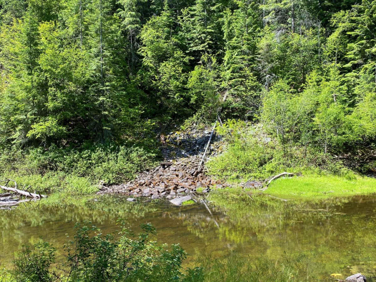
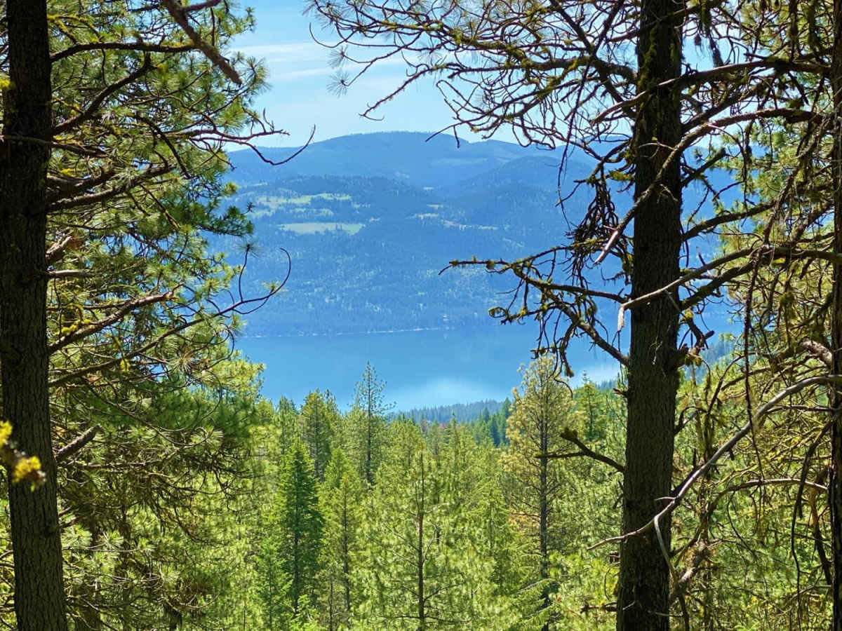
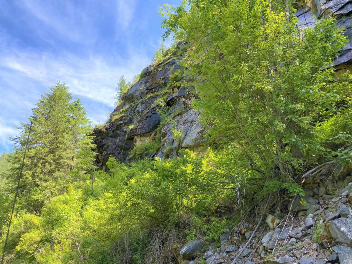
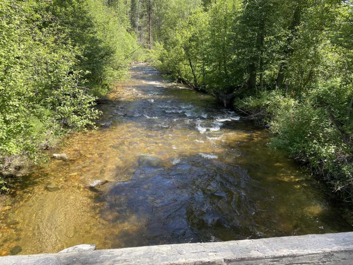
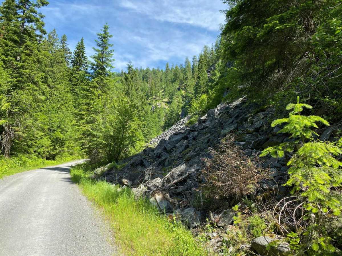
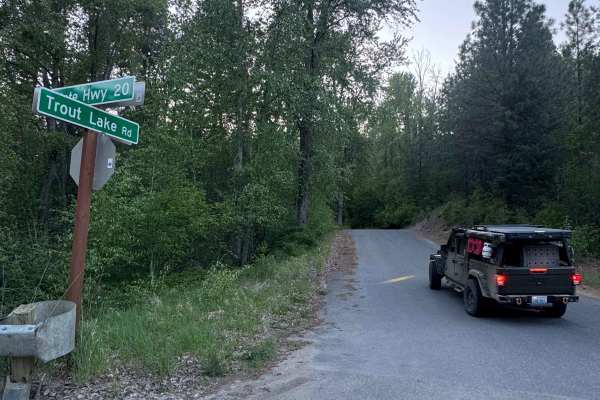
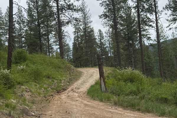
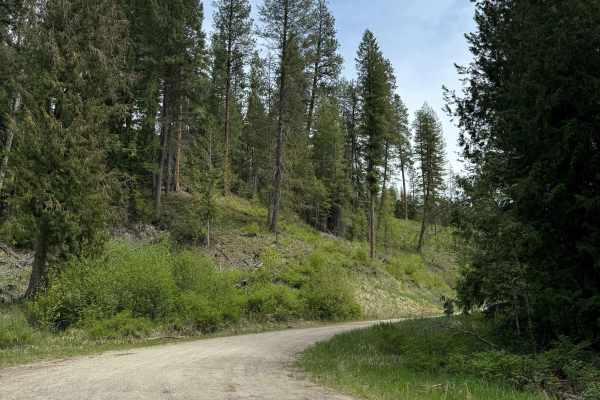
Donaldson Draw is an easy, scenic gravel route ideal for beginners, families, and high-clearance vehicles seeking a relaxed ride to a beautiful viewpoint in the Kettle Range of the Colville National Forest. Originating near the South Huckleberry trails staging area, this well-maintained gravel road winds through lush, forested terrain with a steady climb of over 1,000 feet of cumulative elevation gain. The route spans approximately 5.2 miles total and features mild elevation changes with minimal obstacles, making it accessible to stock 4WDs, AWD vehicles, and off-road motorcycles. Throughout the drive, travelers can enjoy glimpses of the surrounding mountains and valleys, with several pull-offs to soak in the peaceful National Forest scenery.
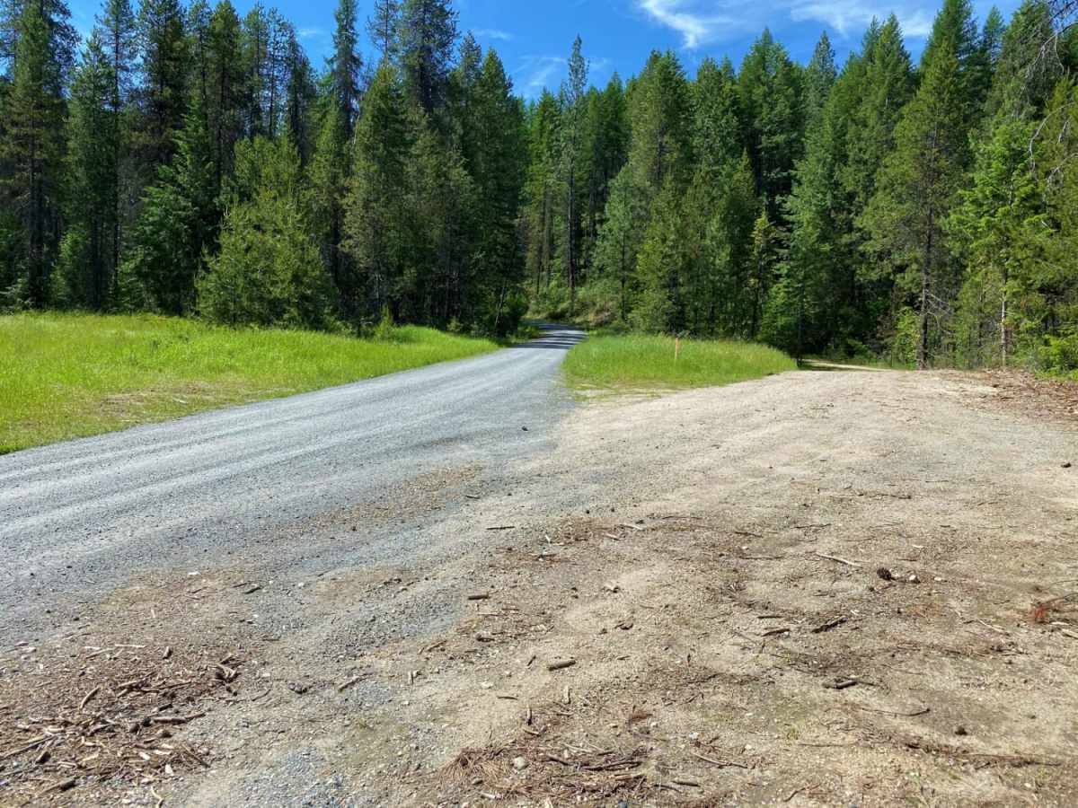
As the trail nears its end, the route winds around the shoulder of Bangs Mountain, eventually concluding in a large, open turnaround area that provides ample space for vehicles to circle back or take a break. The highest point of the ride reaches an elevation of approximately 3,130 feet, offering a scenic vantage point before the descent back to the trailhead. Drivers will mostly encounter a smooth gravel surface with occasional small potholes or washboards, but no technical obstacles or deep mud under normal conditions. This trail is best enjoyed from late spring through autumn, as winter snows can make the route impassable for standard vehicles.