Colville-Dominion Mtn

Total Miles9.3
Technical Rating
1Easy
Best TimeSpring, Summer, Fall
Trail TypeFull-Width Road
Accessible By
Open Trail Map

Trail Overview

This easy 9.3-mile route connects Colville to the historic Old Dominion Mine parking area, transitioning from paved city streets to scenic gravel roads in the Colville National Forest.

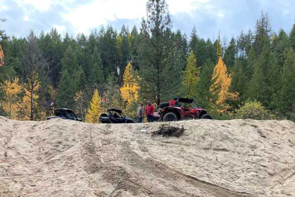
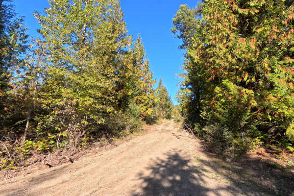
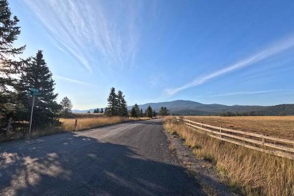
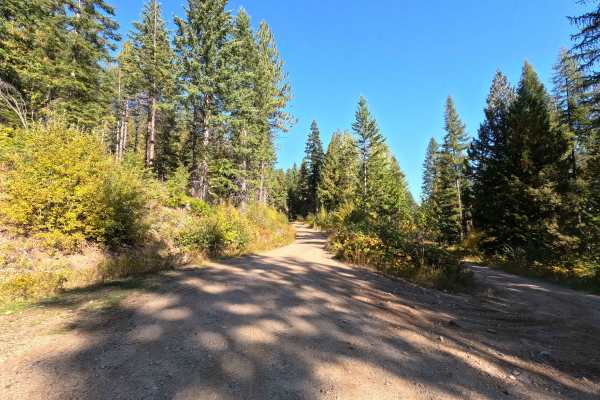
Photos of Colville-Dominion Mtn

History

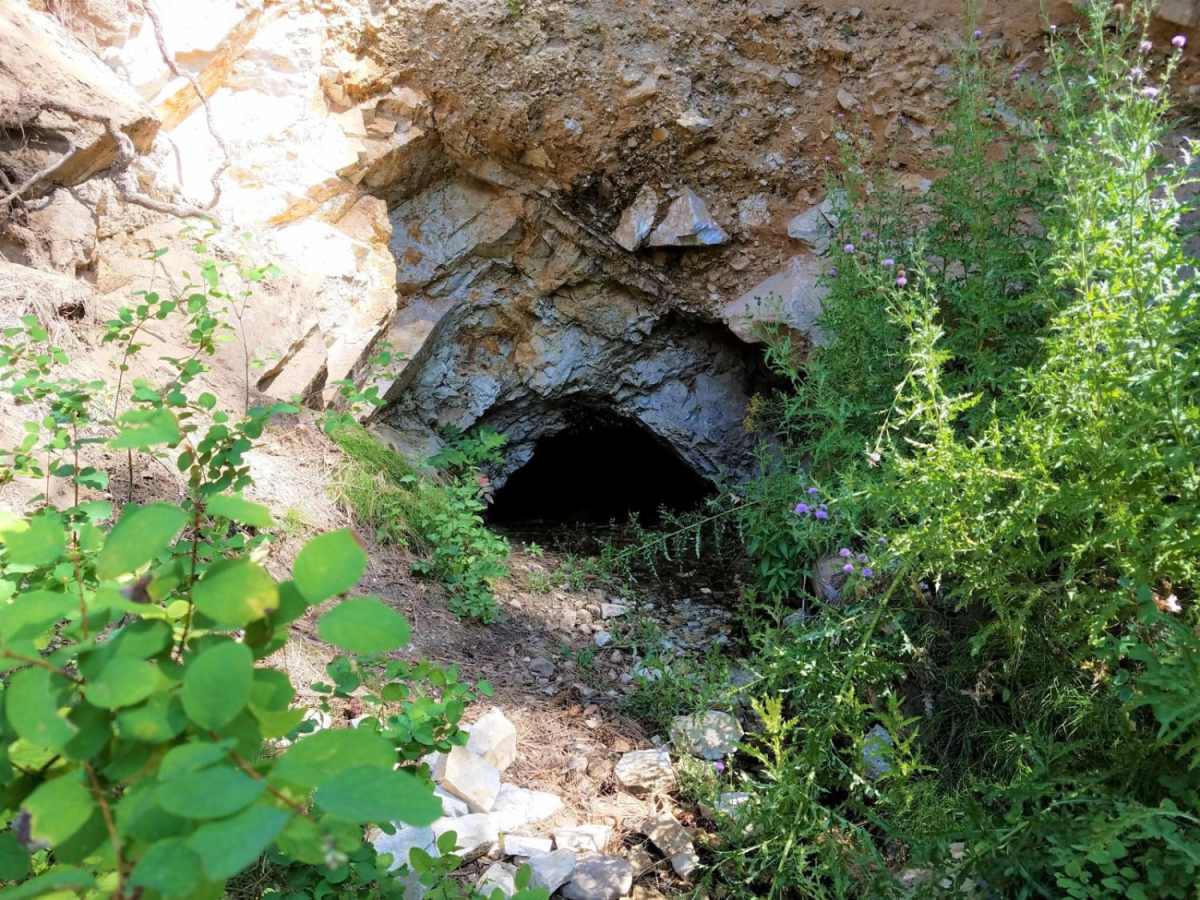
The route ends at the historic Old Dominion Mine, which was one of the most prominent silver, lead, and zinc mines in the Colville district during the late 1800s and early 1900s.

Technical Rating

1

Colville-Dominion Mtn Trail can be accessed by the following ride types:

  • Single Track
  • 50 Inch
  • 60 Inch
  • High Clearance
  • Full Width

Access Description

Avoid driving through downtown Colville and on Highway 20 due to local vehicle restrictions. When transitioning through the cemetery, drive slowly and with appropriate care and respect, particularly if burial ceremonies are underway.

Colville-Dominion Mtn Map

The onX Offroad Difference

onX Offroad combines trail photos, descriptions, difficulty ratings, width restrictions, seasonality, and more in a user-friendly interface. Available on all devices, with offline access and full compatibility with CarPlay and Android Auto. Discover what you're missing today!

Open Trail Map