Trail Overview
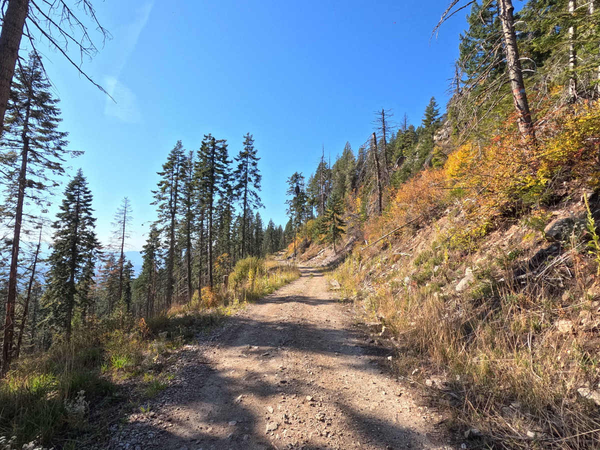
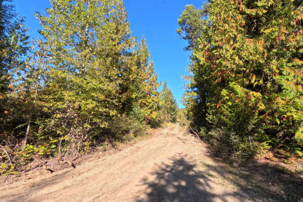
Old Dominion Mountain - FS 9411130 is an 11.6-mile out-and-back route through Colville National Forest that climbs all the way to the summit of Old Dominion Mountain. This narrow, single-lane trail makes a sustained climb with deep rutting and an almost continuous rocky surface. Long sections feel like a rock garden, while brush encroachment makes the trail even narrower in spots. Numerous openings along the climb provide views of the surrounding mountains and valleys before the route reaches the summit. Old Dominion Mountain is open year round to all vehicles.
Difficulty
Old Dominion Mountain - FS 9411130 is rated moderate. The sustained climb, deep ruts, and nearly continuous rock gardens require high clearance, good traction, and careful tire placement. Overgrown sections add another challenge along the narrow trail. Wet conditions can significantly increase the difficulty of the steep, rocky, and rutted sections. 4WD is strongly recommended.
History
Old Dominion Mountain has a long history of mining and fire protection. The Old Dominion Mine was discovered in 1883 on the southern side of the mountain and became an important early producer of silver, lead, and zinc in northeastern Washington. Decades later, a trail to the summit was constructed beginning in 1937, followed by a fire lookout in 1938. A newer timber lookout replaced it in 1963 and remained in use until the late 1970s before being sold and removed in 1983. Today, little remains of the lookout at the summit, but the road and surrounding landscape reflect the mountain's long mining and Forest Service history.



 Offroad