DNR Road E364036a

Total Miles2.6
Technical Rating
4Moderate
Best TimeSpring, Summer, Fall
Trail TypeFull-Width Road
Accessible By
Open Trail Map

Trail Overview

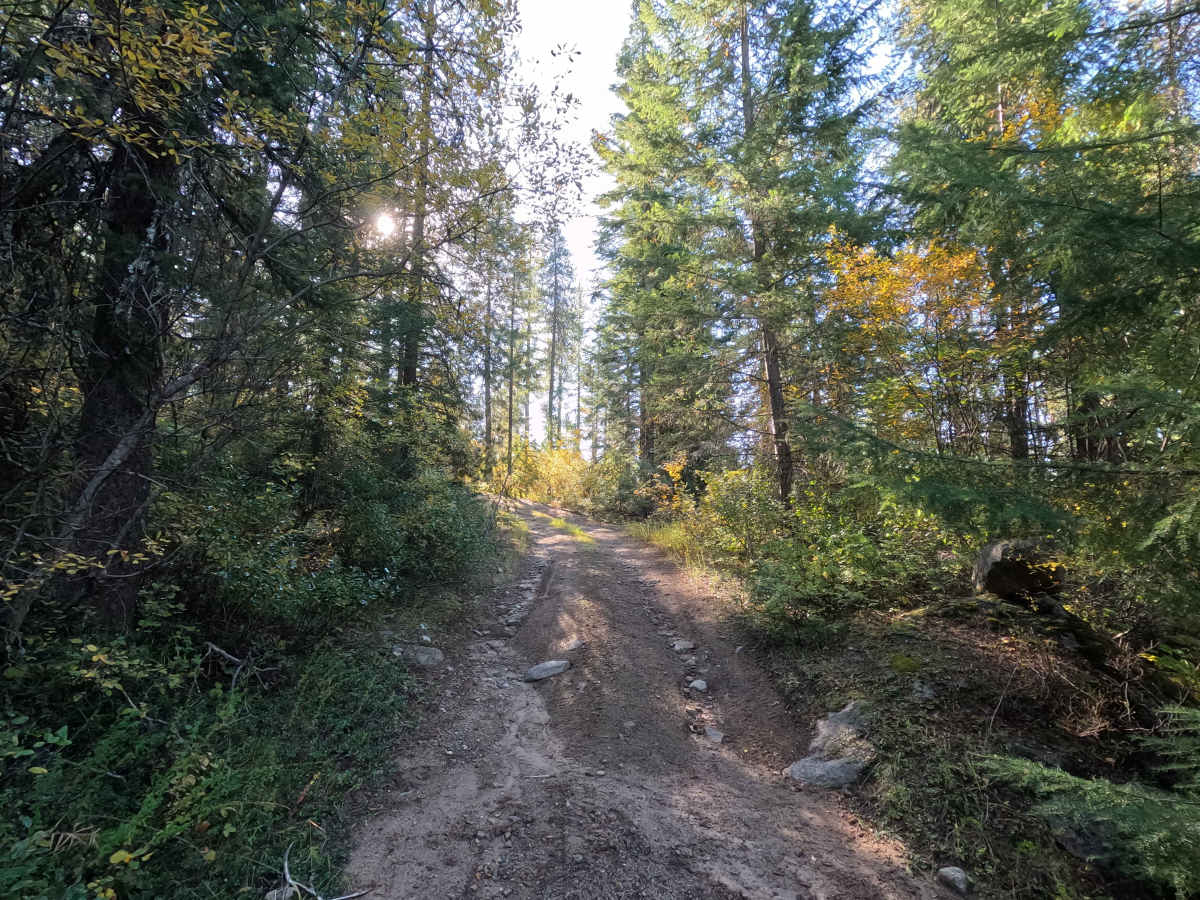
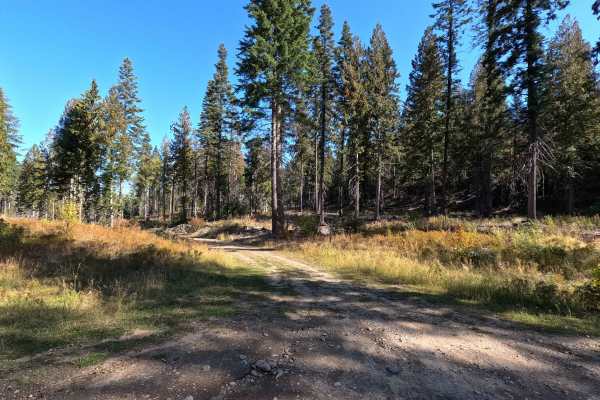
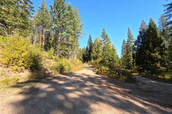
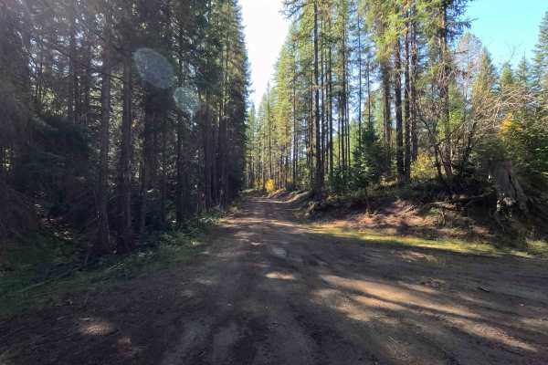
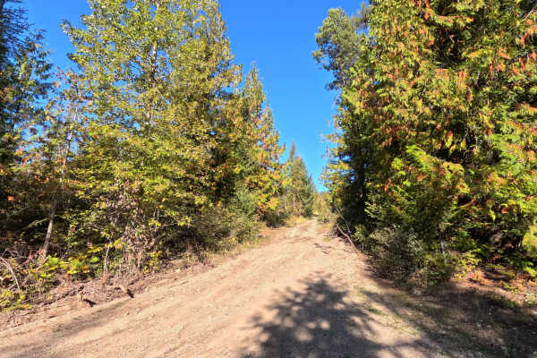
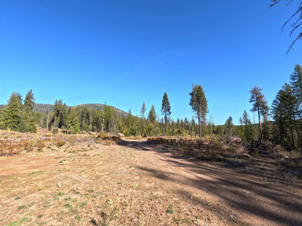
DNR Road E364036A is a 2.7-mile point-to-point route on Washington DNR land. This narrow, single-lane road has a consistently rocky surface with plenty of loose rock along the way. Several sections are heavily rutted and uneven, while brush encroachment makes the road even narrower in spots. A Discover Pass is required to recreate on DNR-managed lands.

Photos of DNR Road E364036a

Difficulty

DNR Road E364036A is rated moderate. Deep rutting, uneven terrain, loose rock, and narrow sections require careful tire placement and good ground clearance. Low-clearance vehicles are not recommended. Wet conditions may make the rutted and rocky sections more difficult.

Technical Rating

4

DNR Road E364036a Trail can be accessed by the following ride types:

  • High Clearance
  • Full Width

DNR Road E364036a Map

The onX Offroad Difference

onX Offroad combines trail photos, descriptions, difficulty ratings, width restrictions, seasonality, and more in a user-friendly interface. Available on all devices, with offline access and full compatibility with CarPlay and Android Auto. Discover what you're missing today!

Open Trail Map