Trail Overview
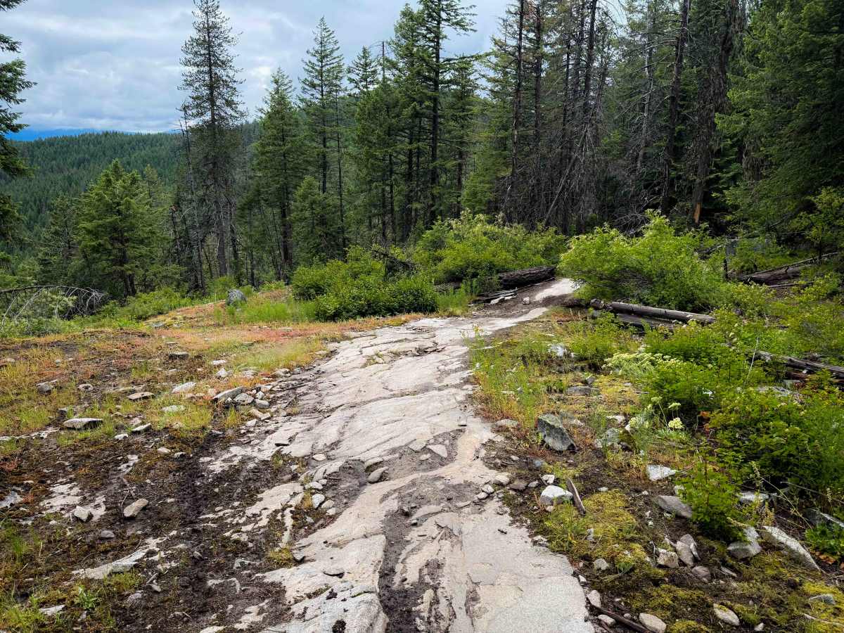
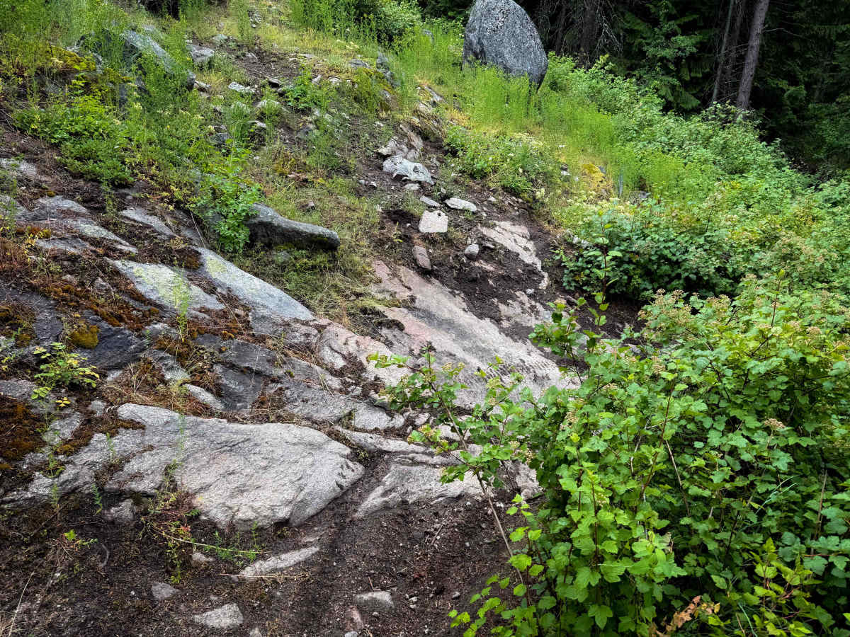
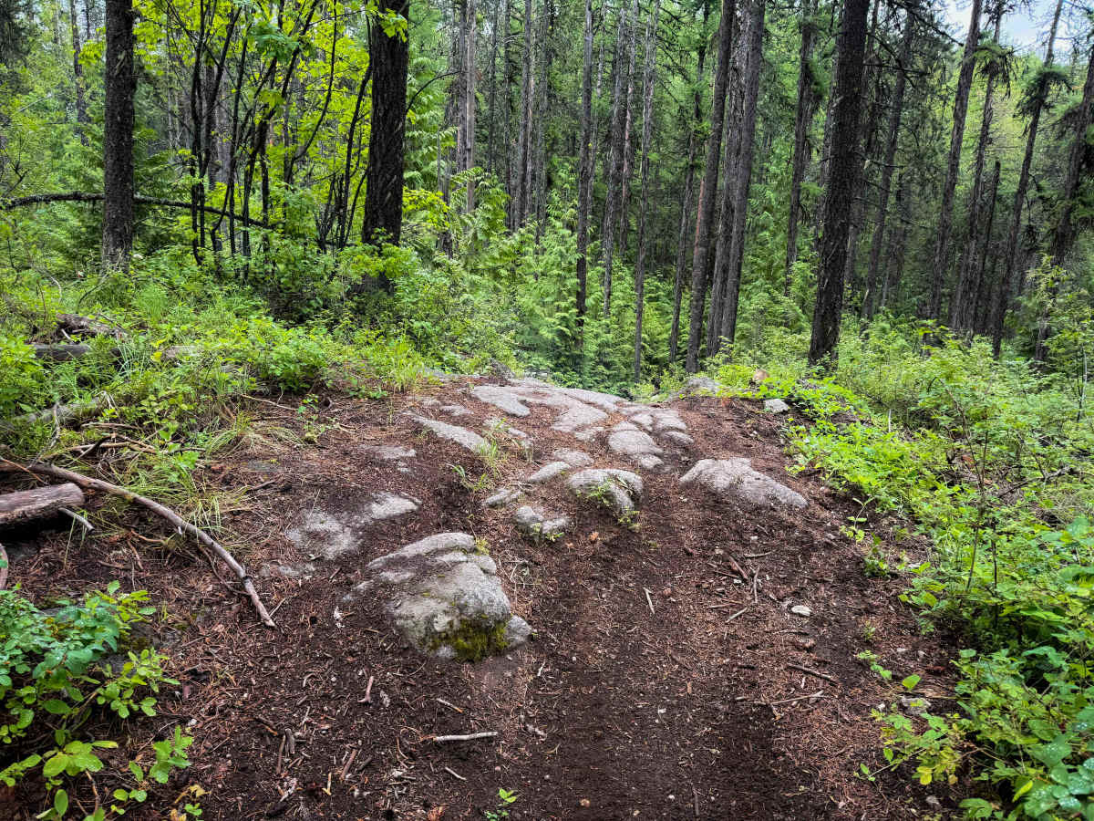
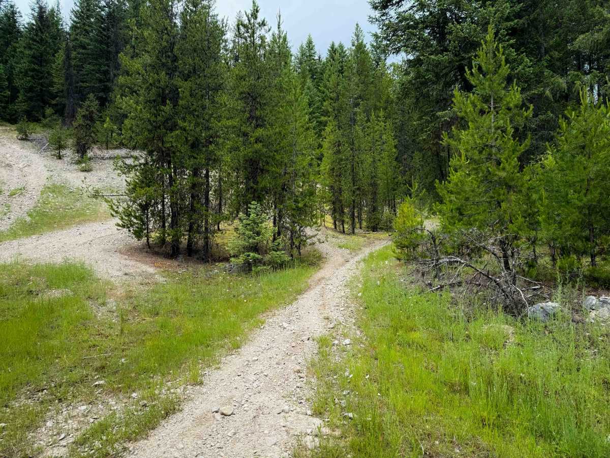
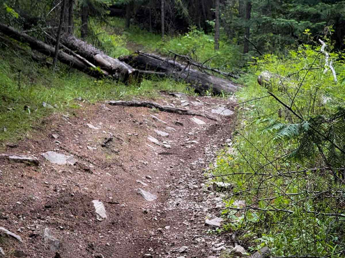
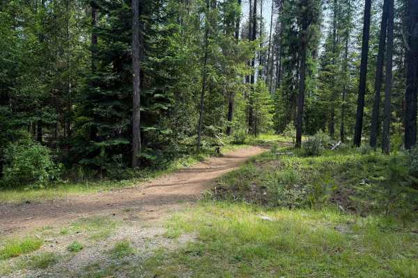
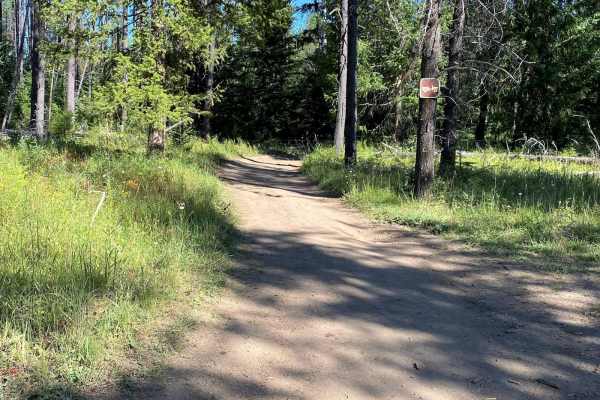
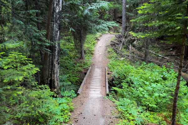
Radar Dome is a long intermediate single track in the Little Pend Oreille Trail System that has frequent moderate rock features and accesses the Radar Dome Historical Site on top of the Radar Dome Peak – featuring several abandoned buildings from the 1950’s that used to be a US Air Force Radar Base. The single track starts on the south end across the highway from the Radar Dome Staging Area, and immediately starts out with several steep climbs that are full of loose rocks. The initial climb is the steepest part of the trail, but it keeps climbing more gradually up the hillside, with lots of quick tight turns through the pines and hemlocks. It’s a fun section of trail to get a rhythm going, and it’s mostly just smooth dirt with small roots, so it’s fast and easy. After about 4 miles, you arrive at the Radar Dome Historical Site, which is really neat to check out the abandoned buildings. Continuing north from Radar Dome, the trail gets more technical, with several intermediate rock features including short drop-offs, dug-out roots, and steep ramped rock faces that you ride over; all require tight maneuvering in the trees. This is a very well-maintained trail system, so any downfall will likely get cut by late spring or early summer. The north end ends at the intersection with the ATV segment of 142.
Difficulty
This is a moderate single track due to several intermediate rock features that require tight maneuvering and experience with short, steep rock obstacles. Most of the rock features are in the northern half. There are also several steep climbs at the southern entrance to the trail as well that will test the beginner rider.