
Dirt Bike Trails
Near Clyde Hill, Washington
Explore All Dirt Bike Trails Near Clyde Hill, Washington
Dirt Bike Trails Near Clyde Hill, Washington
Discover the best dirt bike trails near you. Browse trail maps, check difficulty ratings, and find your next adventure — whether you're looking for a quick ride or an all-day expedition.
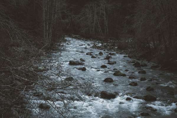
North Fork Road
This road takes you from Columbia Falls to the Canadian Border. This is a fun drive with lots of great stops, and two entrances to Glacier National Park. The most popular stop is Polebridge, MT, where you can try a huckleberry bear claw from the world famous Polebridge Mercantile. You can also enter...
Learn more about North Fork Road
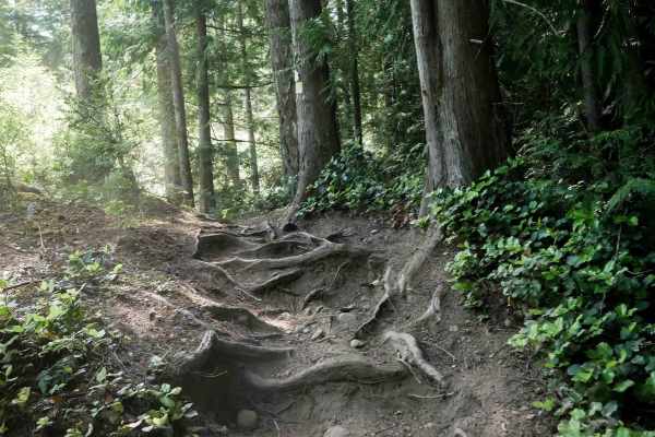
Beaver Pond
Beaver Pond Trail is a 2.5-mile dirt bike route that serves as an alternate path to Wildcat Trail, allowing dirt bikers to create a loop between the two. The trail alternates between narrow and wider sections as it winds through dense forest and a logged area with young tree growth. Terrain includes...
Learn more about Beaver Pond
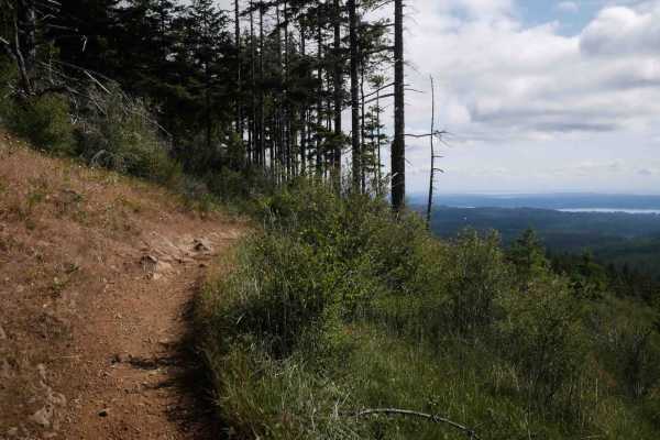
Wildcat
Wildcat Trail is a moderately challenging ATV route that begins at an intersection with Vista and crosses several roads on a narrow forest path just wide enough for ATVs. The trail climbs steeply through the woods with embedded rocks, ledges, chunky rock outcroppings, and large tree roots, sometimes...
Learn more about Wildcat
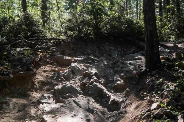
Vista
Vista Trail is a moderately challenging ATV route beginning at the end of Gold Creek Trail. It starts out wide due to frequent use by hikers and horses, then transitions into a more technical two-track path. Riders will encounter embedded roots, foot-tall rock ledges, multiple stair-step formations,...
Learn more about Vista
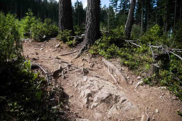
Plummer
Plummer Trail is a 1.1-mile dirt bike route connecting Beaver Pond Trail to Gold Creek Trail, forming a loop option for riders in the Green Mountain trail system. This narrow alpine trail winds along forested hillsides and through a logged area with young pines. The terrain includes embedded root ba...
Learn more about Plummer
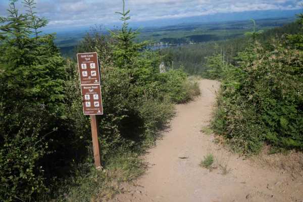
Gold Creek
Gold Creek Trail is a 1.6-mile dirt bike route that climbs steeply from south to north, gaining approximately 800 feet in elevation. The wide, well-maintained path is shared with hikers and horses and includes roots, embedded rocks, wooden bridges, and even a couple of benches with scenic views. Rid...
Learn more about Gold Creek
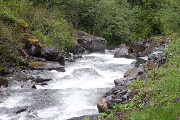
T57
Crossing the bridge at the end of North Fork Road opens up several trails and riverside camping spots for the more adventurous. The first right leads to fire road T57, which follows the river on the north side up to a washed-out wooden bridge and waterfall. In the springtime, the river runs high wit...
Learn more about T57
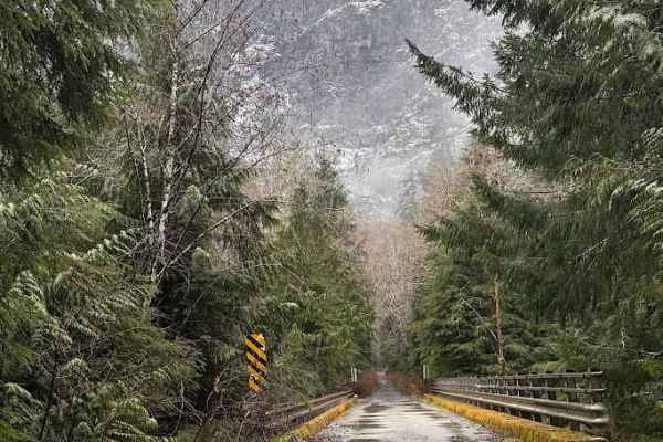
North Fork Road - FS 573
This route used to take you up to Black Hawk Mine, but is since washed out. It may be repaired in the future to take you up to the very top. However, this is still a fun trail to test some easy 4X4 techniques and modifications, with dispersed camping and shooting areas along the way.
Learn more about North Fork Road - FS 573
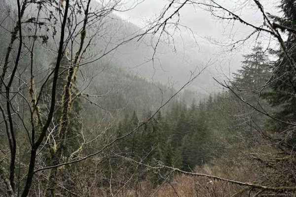
Illinois - FS 5731
Illinois (FS 5731) branches off the North Fork Snoqualmie corridor and quickly narrows into a classic, unmaintained Cascade backroad. The surface is mostly compact dirt with embedded rock, loose gravel, and the occasional rut or washout. As you climb, the road winds through dense second-growth and p...
Learn more about Illinois - FS 5731
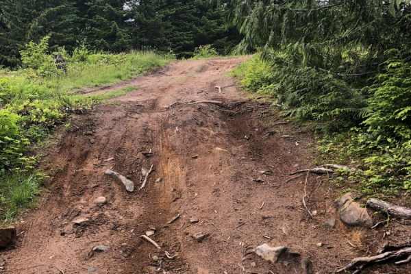
Garcia Road
This road accesses the Palouse to Cascades, or Iron Horse trail, as well as a number of other trailheads and forest service roads. While the main road is relatively tame, there is a small 4x4 area with some fun climbs and obstacles ranging from mild to wild, that are great for beginners to test out ...
Learn more about Garcia Road
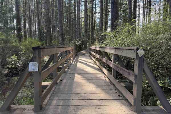
Overland Trail East
NOTE: Tahuya ORV Park Trails are two-way trails and have several blind corners. Keep your eyes up! There are also several single-track trails that spur off the edge to keep an eye out for crossing traffic. This section of the trail starts on Sandhills Road and ends on Sandhills Road. This is the Eas...
Learn more about Overland Trail East
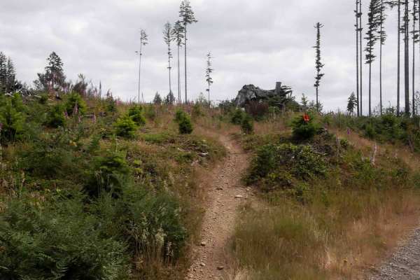
Raine's Grade
Raine's Grade is a 1.7-mile moderately easy single-track trail offering a mix of open and forested riding. The trail begins with a narrow, fast, and flowy path through grassy fields, with small loose rocks and very curvy, slaloming turns. It climbs a rolling hillside before crossing a road and trans...
Learn more about Raine's Grade
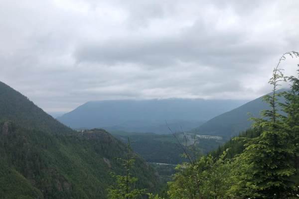
Mine Creek Rd
Mine Creek Rd is a quick, rocky forest route in the Mt. Baker-Snoqualmie National Forest perfect for high-clearance four-wheel-drive vehicles and SxSs looking to escape the city. Spanning approximately 3.1 miles with a climb of over 1,000 feet, this trail rises to a maximum elevation of 2,819 feet, ...
Learn more about Mine Creek Rd
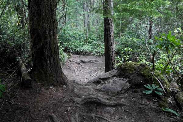
Tommy
Tommy is a 1.5-mile dirt bike trail winding through dense forest with a gradual overall profile. The trail is moderately narrow with tight turns between trees, offering a fun ride for intermediate or confident beginner riders. Trail features include small loose rocks, roots, and minor drop-offs from...
Learn more about Tommy
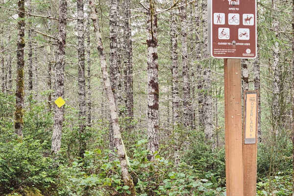
Overland Trail
Flowy double track that is good for all skill levels. The trail is only wide enough for ATVs and dirt bikes. Can be ridden as fast or as slow as comfortable. Roots and softball-sized rocks are scattered throughout. Concrete pavers in a couple of areas to help the trail maintain shape in wetter areas...
Learn more about Overland Trail
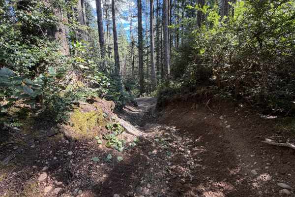
Overland Trail (North)
This is the northern section of The Overland Trail. You can expect standing water throughout the fall, winter, and spring, with several deep puddles as deep as 12 inches in some areas during the wet season. There are several exposed roots as well as rutted sections from the rain. The trail is beginn...
Learn more about Overland Trail (North)
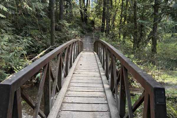
Overland Trail South
NOTE: Tahuya ORV Park Trails are two-way trails and have several blind corners. Keep your eyes up! This is the Southern section of The Overland Trail, and it “Starts” mid-trail at the “Mission Creek Junction” OR At Sand Hill staging. You can expect standing water throughout the fall, winter, and sp...
Learn more about Overland Trail South
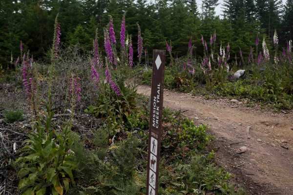
Mission Creek
This is a scenic 2-mile segment of Mission Creek Trail featuring a mix of open logged hillsides and forested terrain. The trail is a wide, easy two-track lined with purple foxgloves, offering fast and flowy riding. Expect sections with embedded rock, roots, and small loose rock throughout. Curves ra...
Learn more about Mission Creek
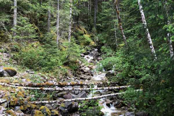
Middle Fork/Goldmeyer Rd
This road follows the Middle Fork of the Snoqualmie River up to the trailhead for Goldmyer hot springs (reservations are required and can be made online), Dingford Creek, and many more. The first half of the trail ranges from one to two car widths while winding through the trees. There are a number ...
Learn more about Middle Fork/Goldmeyer Rd
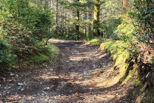
Loop Trail
This is an easy warm-up trail, accessible from 2 trail heads off the Sand Hill Pit staging area. Perfect area to get new riders to get familiar with what you will find around Tahuya. There are some roots and river rock throughout, but easily navigable for new riders. The trail loops around back to i...
Learn more about Loop Trail
ATV trails near Clyde Hill, Washington
Explore ATV-friendly trails near you. These trails are accessible for vehicles up to 50 inches wide, perfect for ATVs and smaller off-road machines.
North Fork Road
This road takes you from Columbia Falls to the Canadian Border. This is a fun drive with lots of great stops, and two entrances to Glacier National Park. The most popular stop is Polebridge, MT, where you can try a huckleberry bear claw from the world famous Polebridge Mercantile. You can also enter...
Learn more about North Fork Road
Wildcat
Wildcat Trail is a moderately challenging ATV route that begins at an intersection with Vista and crosses several roads on a narrow forest path just wide enough for ATVs. The trail climbs steeply through the woods with embedded rocks, ledges, chunky rock outcroppings, and large tree roots, sometimes...
Learn more about Wildcat
Vista
Vista Trail is a moderately challenging ATV route beginning at the end of Gold Creek Trail. It starts out wide due to frequent use by hikers and horses, then transitions into a more technical two-track path. Riders will encounter embedded roots, foot-tall rock ledges, multiple stair-step formations,...
Learn more about Vista
North Fork Road - FS 573
This route used to take you up to Black Hawk Mine, but is since washed out. It may be repaired in the future to take you up to the very top. However, this is still a fun trail to test some easy 4X4 techniques and modifications, with dispersed camping and shooting areas along the way.
Learn more about North Fork Road - FS 573
UTV/side-by-side trails near Clyde Hill, Washington
Find UTV and side-by-side trails near you. These trails accommodate vehicles up to 60 inches wide, ideal for UTVs, side-by-sides, and wider off-road rigs.
North Fork Road - FS 573
This route used to take you up to Black Hawk Mine, but is since washed out. It may be repaired in the future to take you up to the very top. However, this is still a fun trail to test some easy 4X4 techniques and modifications, with dispersed camping and shooting areas along the way.
Learn more about North Fork Road - FS 573
Illinois - FS 5731
Illinois (FS 5731) branches off the North Fork Snoqualmie corridor and quickly narrows into a classic, unmaintained Cascade backroad. The surface is mostly compact dirt with embedded rock, loose gravel, and the occasional rut or washout. As you climb, the road winds through dense second-growth and p...
Learn more about Illinois - FS 5731
Garcia Road
This road accesses the Palouse to Cascades, or Iron Horse trail, as well as a number of other trailheads and forest service roads. While the main road is relatively tame, there is a small 4x4 area with some fun climbs and obstacles ranging from mild to wild, that are great for beginners to test out ...
Learn more about Garcia Road
Mine Creek Rd
Mine Creek Rd is a quick, rocky forest route in the Mt. Baker-Snoqualmie National Forest perfect for high-clearance four-wheel-drive vehicles and SxSs looking to escape the city. Spanning approximately 3.1 miles with a climb of over 1,000 feet, this trail rises to a maximum elevation of 2,819 feet, ...
Learn more about Mine Creek Rd
The onX Offroad Difference
onX Offroad combines trail photos, descriptions, difficulty ratings, width restrictions, seasonality, and more in a user-friendly interface. Available on all devices, with offline access and full compatibility with CarPlay and Android Auto. Discover what you're missing today!
Open Trail Map