
Dirt Bike Trails
Near Cleone, California
Explore All Dirt Bike Trails Near Cleone, California
Dirt Bike Trails Near Cleone, California
Discover the best dirt bike trails near you. Browse trail maps, check difficulty ratings, and find your next adventure — whether you're looking for a quick ride or an all-day expedition.

Mendocino County Road 500
Mendocino County Road 500 connects the east end of Caspar Orchard Road (at a location known locally as 'Scales') to California Route 20, and is located entirely within the Jackson Demonstration State Forest. At one time, this was an active logging road, and an occasional logging truck could be encou...
Learn more about Mendocino County Road 500
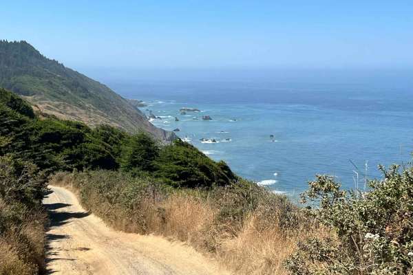
Usal Road (Southern Portion)
This is a steep one-lane dirt road that is not very heavily used and is reasonably well maintained by the county. On about sixty percent of the trail, two rigs can slowly and carefully pass by each other, thirty percent will require one of the two rigs to move out of the way and the rest will requir...
Learn more about Usal Road (Southern Portion)
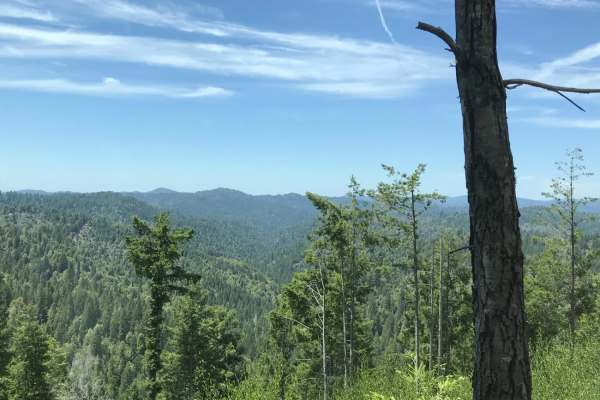
Sherwood Road
This is a 43-mile-long trek through dirt logging roads with spectacular views of the northern California redwoods. It is a great way to start a trip up the Mendocino coastline and on your way to Usal Road (an overlanding favorite in northern California). The route starts on the Willits main street a...
Learn more about Sherwood Road
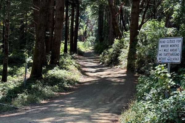
Usal Road (Northern Portion)
As you enter from this northern part of the trail, you'll be surrounded by trees covered in moss, beautiful views of the ocean peaking in through the trees, and well-grated gravel. There are parts of the trail that are narrow with some wash-out sections and some drop-off sections on the west side of...
Learn more about Usal Road (Northern Portion)
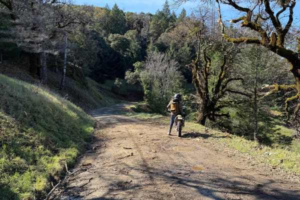
Low Gap Road
Flowy dirt road that climbs through grassy oak woodlands before entering the redwood forests of the California Coast. Quiet road with minimal obstacles. Currently, there is a bridge on the route that is closed to cars (see photos). Nothing larger than a BMW Adventure bike is going to be able to pass...
Learn more about Low Gap Road
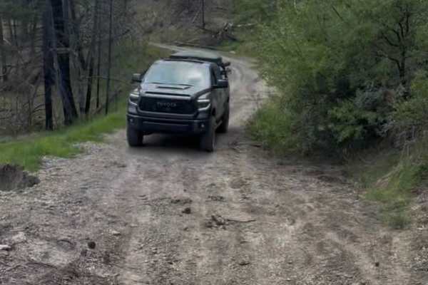
Pillsbury-Indian Dick Road
Pillsberry to Black Butte Trail is a calm, scenic gravel road with some campsites along the river. It's an easy driving, wide road, not normally passable in the wintertime because of snow. There is one small landslide that you can fit a large 4 x 4 through; besides that, the trail is well maintained...
Learn more about Pillsbury-Indian Dick Road
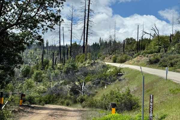
Packsaddle - FS 18N25
This trail is more of a fire road. Mostly one vehicle wide, but with plenty of chances to pass. More of a fun route than staying on the main Elk Mountain road and possibly following slow trucks with trailers. There are plenty of primitive camping areas, but travelers should pay attention to land own...
Learn more about Packsaddle - FS 18N25
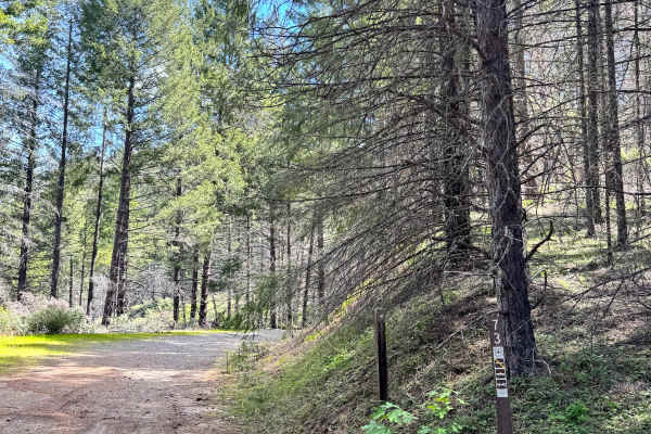
East York - FS 17N73
This is a tight single wide out and back trail that ends at OHV trail heads. The end of the trail is sooner than expected as is turns into single track and is too narrow for a truck but just before it is wide to turn around and has some primitive camp spots along the route. Trail is mostly flat and ...
Learn more about East York - FS 17N73

Mendo-Lake Road
An easy scenic route over mountain ridges through South Cow Mountain OHV that connects lakeport to Ukiah. This is the main dirt road through cow mountain that has multiple harder trails off either side and has multiple campgrounds that are easily accessible by 2WDd vehicles. There are excellent view...
Learn more about Mendo-Lake Road
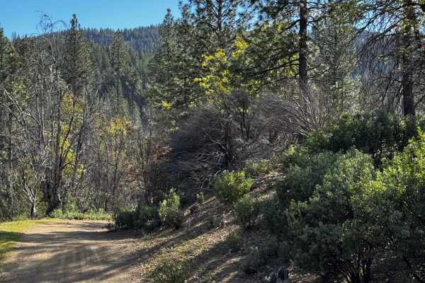
Little Round - FS 17N37
This is an out-and-back shared-use trail that takes you to multiple trail heads for off-highway vehicles. There are a couple of dispersed camp sites along the trail. This is a single-wide trail with a few areas to pass or turn out. There are a couple of small washes as well.
Learn more about Little Round - FS 17N37

Willow Rock - FS 17N39
This is an out-and-back trail that is shared use and leads to multiple off-highway vehicle trails. There are some dispersed campsites along the way and at the end, but there is a huge dedicated dispersed primitive campsite area about halfway through. This is a single-wide, mostly flat trail that get...
Learn more about Willow Rock - FS 17N39
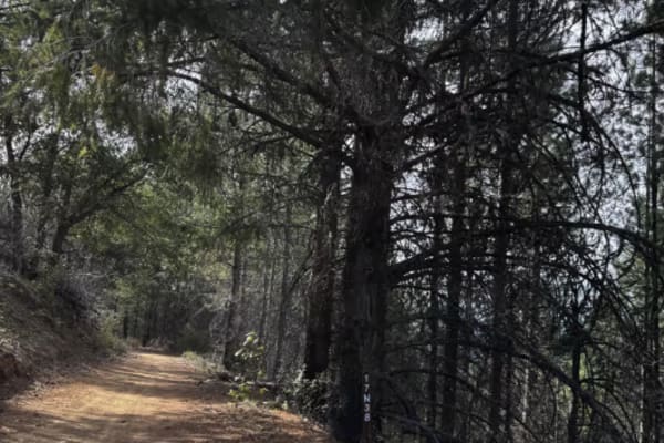
Bluejay - FS 17N38
This is an out-and-back trail that leads to off-highway specific trails. It is also shared use, so be cautious of others. There are dispersed camp sites along the way, and it ends in a bigger one. The trail is narrow, but it has room for a full-size truck and multiple spots to pull out or turn aroun...
Learn more about Bluejay - FS 17N38
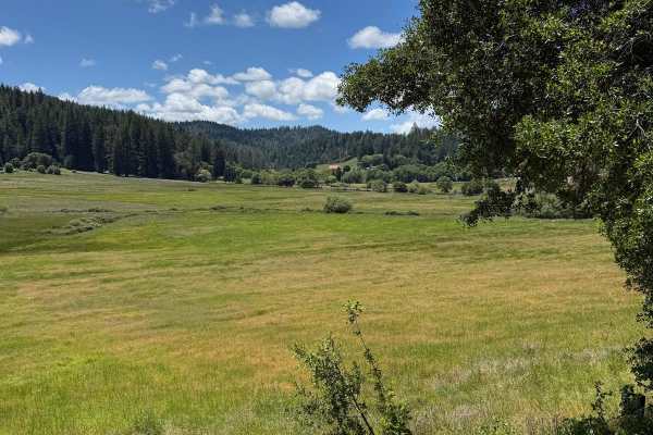
Fish Rock Road
Graded dirt road connecting Highway 1 to Highway 128. Pavement is on both ends. A great dirt road with a flowy climb up from the coast to follow the ridge inland. Beautiful views and usually quiet traffic, but please do watch out for some blind corners and the occasional logging truck. Great route t...
Learn more about Fish Rock Road
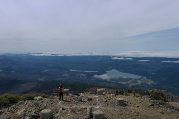
Hull Mountain Trail
Hull Mountain is a dominant peak and rises over 5,000 feet above Lake Pillsbury in the southwest part of the Mendocino National Forest. This is a beautiful area for camping and other recreational activities. Relatively easy mountain roads take you on a journey deep into the wilds of the back countr...
Learn more about Hull Mountain Trail
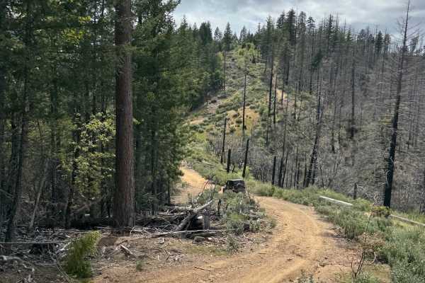
Rattlesnake 4x4 85467
Single wide trail that navigates up and across a ridge. It can get really tight with overgrown vegetation. A good amount of washes, ditches, and water drainage humps, and a few hill climbs and descents. The trail is mixed-use, so watch out for anything from trucks to dirt bikes. There are areas for ...
Learn more about Rattlesnake 4x4 85467
Boundary Ridge, Trail 25
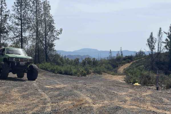
For expert riders only, this trail is rated extremely difficult. Trail hazards may Include; narrow and steep sections, washed-out sections, fallen trees, and large falling or loose rocks. Boundary Tidge "Trail 25" is an 8-mile route that takes you along the top ridges of South Cow Mountain OHV. The ...
Learn more about Boundary Ridge, Trail 25
Lower Middle Ridge - FS 21N07
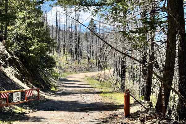
This trail has a gate, so it is likely closed for the winter. The trail is a hard-pack gravel road with some potholes and rutted-out sections. There are a couple of spots that get a little narrow. but does have beautiful trails. The trail looks like it was recently cleared, as there are trees along ...
Learn more about Lower Middle Ridge - FS 21N07
Road 311
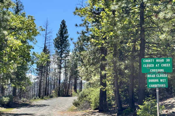
At the beginning of the trail, there is a sign that states "closed at creek crossing". However, we did not encounter a creek crossing or any closures along this trail before it meets at M3. Where the road continues after M3 states that it's closed. This trail is a gravel trail with some rutted out s...
Learn more about Road 311
Stony Slope - FS 17N89
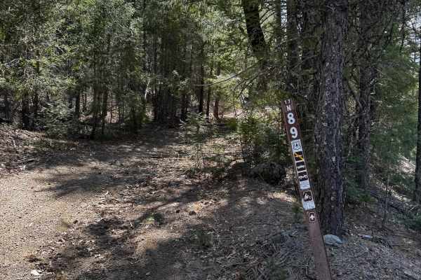
Out-and-back trail, big dispersed camp area at the end of the trail for multiple vehicles. There are a few spots to pass, and a dirt bike trail is towards the beginning. has a few ledges from erosion and some washes. Toward the end of the trail, before it descends into the camp spot, there is a good...
Learn more about Stony Slope - FS 17N89
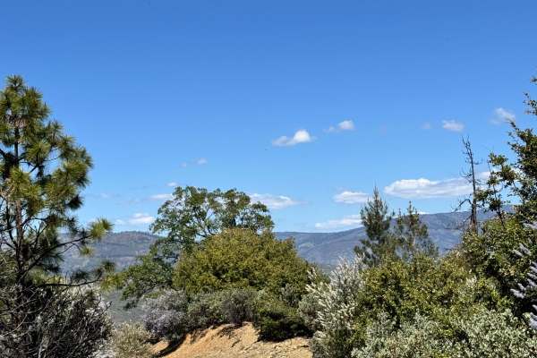
Alder Springs W.C. - FS 21N30
This trail starts off looking like it was freshly graded and then turns into a rutted-out trail. Nothing too difficult, just some sections where water was flowing down and created a rut in the road. This trail does have a few spots where you can pull off to camp as well, with some beautiful views.
Learn more about Alder Springs W.C. - FS 21N30
ATV trails near Cleone, California
Explore ATV-friendly trails near you. These trails are accessible for vehicles up to 50 inches wide, perfect for ATVs and smaller off-road machines.
Mendocino County Road 500
Mendocino County Road 500 connects the east end of Caspar Orchard Road (at a location known locally as 'Scales') to California Route 20, and is located entirely within the Jackson Demonstration State Forest. At one time, this was an active logging road, and an occasional logging truck could be encou...
Learn more about Mendocino County Road 500
Packsaddle - FS 18N25
This trail is more of a fire road. Mostly one vehicle wide, but with plenty of chances to pass. More of a fun route than staying on the main Elk Mountain road and possibly following slow trucks with trailers. There are plenty of primitive camping areas, but travelers should pay attention to land own...
Learn more about Packsaddle - FS 18N25
East York - FS 17N73
This is a tight single wide out and back trail that ends at OHV trail heads. The end of the trail is sooner than expected as is turns into single track and is too narrow for a truck but just before it is wide to turn around and has some primitive camp spots along the route. Trail is mostly flat and ...
Learn more about East York - FS 17N73
Mendo-Lake Road
An easy scenic route over mountain ridges through South Cow Mountain OHV that connects lakeport to Ukiah. This is the main dirt road through cow mountain that has multiple harder trails off either side and has multiple campgrounds that are easily accessible by 2WDd vehicles. There are excellent view...
Learn more about Mendo-Lake Road
UTV/side-by-side trails near Cleone, California
Find UTV and side-by-side trails near you. These trails accommodate vehicles up to 60 inches wide, ideal for UTVs, side-by-sides, and wider off-road rigs.
Mendocino County Road 500
Mendocino County Road 500 connects the east end of Caspar Orchard Road (at a location known locally as 'Scales') to California Route 20, and is located entirely within the Jackson Demonstration State Forest. At one time, this was an active logging road, and an occasional logging truck could be encou...
Learn more about Mendocino County Road 500
Packsaddle - FS 18N25
This trail is more of a fire road. Mostly one vehicle wide, but with plenty of chances to pass. More of a fun route than staying on the main Elk Mountain road and possibly following slow trucks with trailers. There are plenty of primitive camping areas, but travelers should pay attention to land own...
Learn more about Packsaddle - FS 18N25
East York - FS 17N73
This is a tight single wide out and back trail that ends at OHV trail heads. The end of the trail is sooner than expected as is turns into single track and is too narrow for a truck but just before it is wide to turn around and has some primitive camp spots along the route. Trail is mostly flat and ...
Learn more about East York - FS 17N73
Mendo-Lake Road
An easy scenic route over mountain ridges through South Cow Mountain OHV that connects lakeport to Ukiah. This is the main dirt road through cow mountain that has multiple harder trails off either side and has multiple campgrounds that are easily accessible by 2WDd vehicles. There are excellent view...
Learn more about Mendo-Lake Road
The onX Offroad Difference
onX Offroad combines trail photos, descriptions, difficulty ratings, width restrictions, seasonality, and more in a user-friendly interface. Available on all devices, with offline access and full compatibility with CarPlay and Android Auto. Discover what you're missing today!
Open Trail Map