Trail Overview
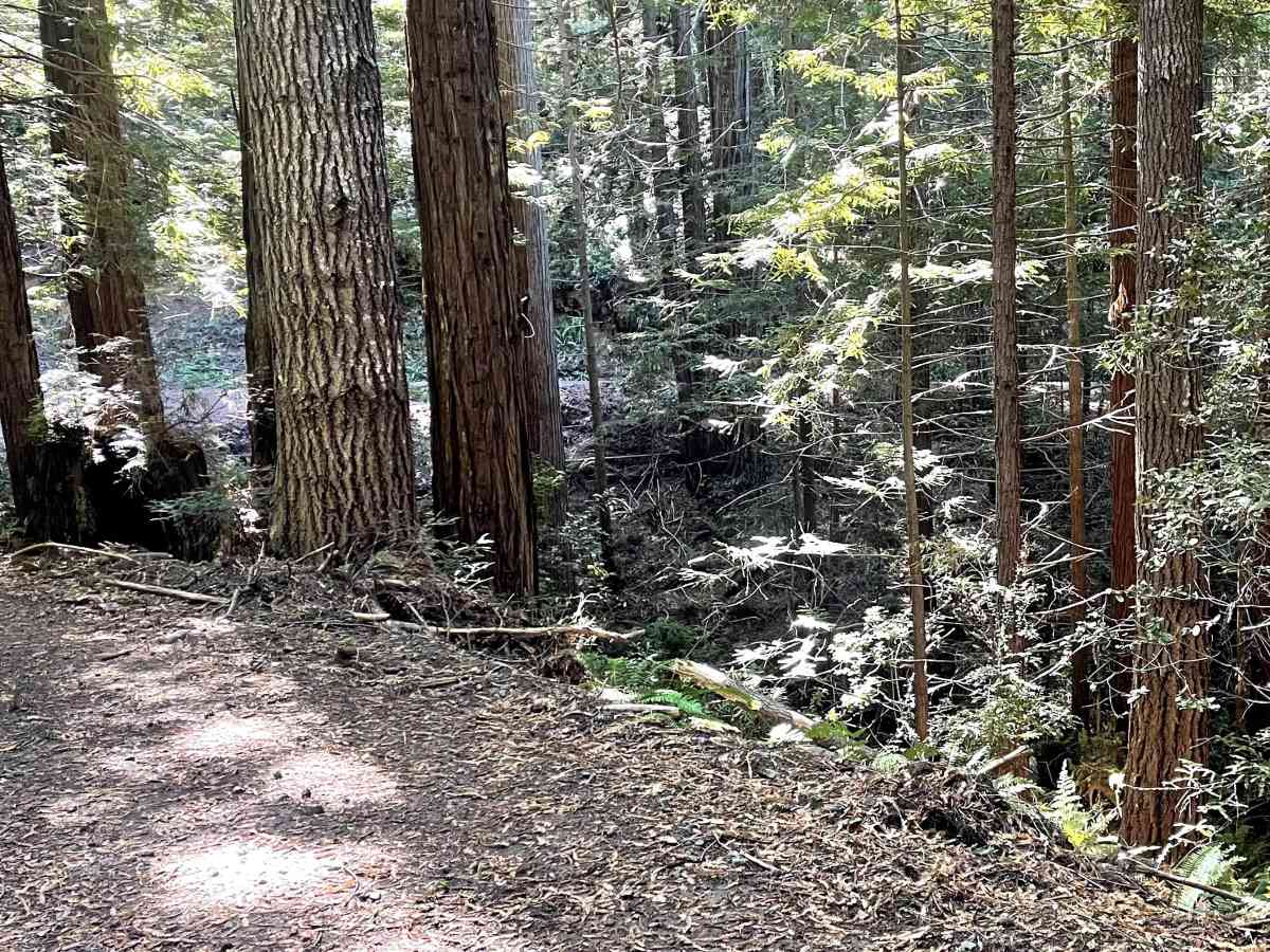
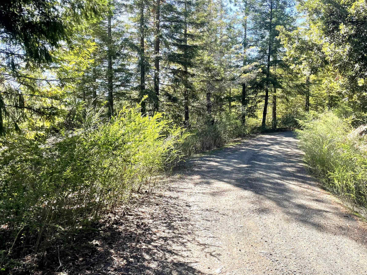
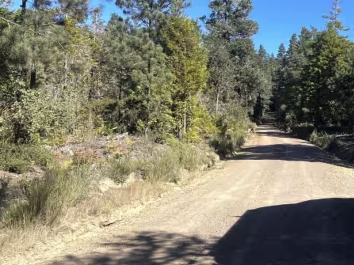
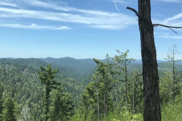
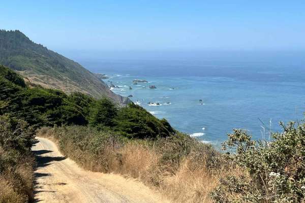
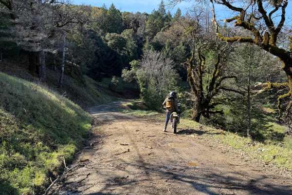
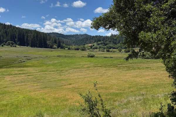
Mendocino County Road 500 connects the east end of Caspar Orchard Road (at a location known locally as 'Scales') to California Route 20, and is located entirely within the Jackson Demonstration State Forest. At one time, this was an active logging road, and an occasional logging truck could be encountered during the week. The trail traverses a previously logged area, but second and third-growth redwoods are present as well as coastal oak and mixed conifer forest. The trail is well graded and, while wide open at the west end, vegetation growth narrows the trail as one goes further east. The road would be easy to miss coming west on California Route 20, as it is not marked. There are gates at both ends that are typically open, though I suspect that they will close the road if it becomes impassable in the winter. No camping is available along the road, though there is so little traffic that boondocking in some spots should be possible. Camping is available at nearby state parks on the coast. Cell service is spotty throughout the coastal range. Ham radio 2M repeater coverage is good.
History
This is an old logging road. The forest has been actively logged since the 1860s. It was organized as a demonstration forest in 1949. The forest holds sacred value as an ancestral home and ceremonial site for the Coyote Valley Band of Pomo Indians.