
Dirt Bike Trails
Near Chamita, New Mexico
Explore All Dirt Bike Trails Near Chamita, New Mexico
Dirt Bike Trails Near Chamita, New Mexico
Discover the best dirt bike trails near you. Browse trail maps, check difficulty ratings, and find your next adventure — whether you're looking for a quick ride or an all-day expedition.
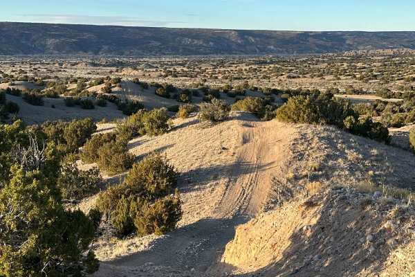
Prairie Dog Cruise
This trail begins in Cuarteles, New Mexico, and spans numerous desert hills and arroyos. The ride is approximately 10.5 miles and concludes North on the outskirts of Alcalde, NM. The trail can be traveled either North to South or South to North. The trail has beautiful views of the surrounding Jemez...
Learn more about Prairie Dog Cruise
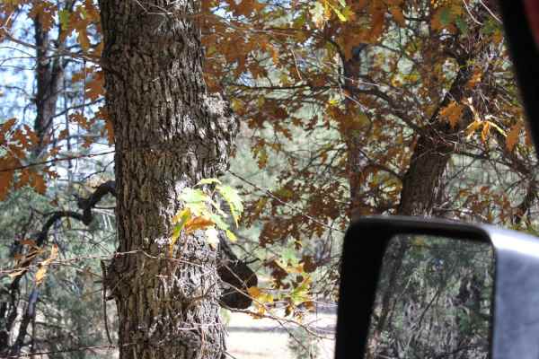
Rio Del Oso
This is a tight and narrow unmaintained forest service road that traverses through sand and rock while following Rio Del Oso Creek. The last leg of the trail is the most challenging. The road enters the creek bed and becomes a rock garden, with one small waterfall climb followed by a loose hill with...
Learn more about Rio Del Oso
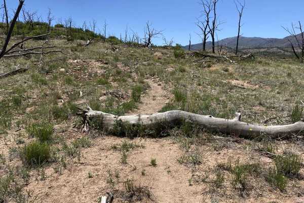
Corral Jumper
Corral Jumper is a short trail, that connects FS Roads 831 and 445C. The trail can be rather hard to find at first and may require some route-finding skills but does offer a few small log jumps that traverse up the mountain side and ends up at FS445C. It offers a few challenges with small embedded r...
Learn more about Corral Jumper
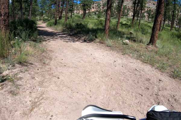
Chupaderos Connector
Chupaderos Connector is primarily a section of Forrest Service Road 446 that connects Forrest Service Road 446H and the trail head Chupaderos Spur 824. It is an easy, full-width trail with no natural obstacles. There can be large ruts and small boulder sections depending on runoff off but it is most...
Learn more about Chupaderos Connector
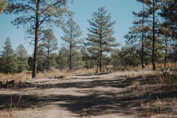
Cany
Cany is a road-width braided trail in the Sante Fe National Forest north of the town of Los Alamos. It's a short trail, 0.9 miles, that connects FS Roads 446 and 445. The trail is mainly a road but has small bits of single track that pop on and off of the road at times. It's all extremely easy and f...
Learn more about Cany
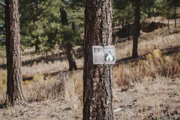
Chupaderos Spur
Chupaderos Spur is an easy road-width trail that starts off Chupaderos Road 446. It's a dead-end trail that doesn't really end at anything but could be fun for a beginner to explore the area since it's in an Archeological Historic Site. The entrance to the trail is not marked, but there is a sign on...
Learn more about Chupaderos Spur
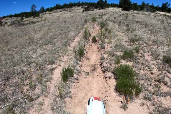
Tightrope Connector
Tightrope Connector is a very short single track through a grassy high desert terrain that links Maria's Canyon Road to Beanfield Ridge. It provides a method of jumping into some technical single track more early on and linking into the middle of Beanfield Ridge trail. The trail itself is a mix of s...
Learn more about Tightrope Connector
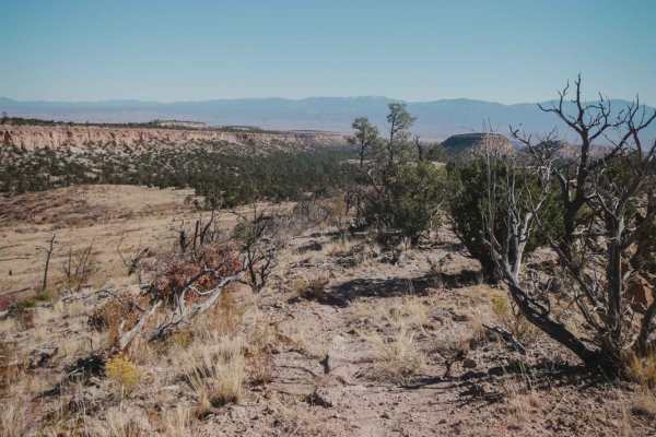
Beanfield Ridge
Beanfield Ridge is a short single track through a grassy high desert terrain that is easy to miss from both entrances because there are no trail markings in this area. It departs from Maria's Canyon Road and goes along a ridge on the top of a dry grassy mesa. The trail is a mix of sand, gravel, and ...
Learn more about Beanfield Ridge
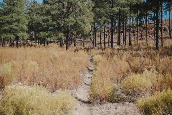
Corral Canyon
Corral Canyon is a 4.2-mile single track in the Sante Fe National Forest north of the town of Los Alamos and is probably the most fun and most popular dirt bike trail in this area. It's a fast and flowy dirt trail through a sparse pine tree forest. It's kind of sandy, but mostly dirt, and very smoot...
Learn more about Corral Canyon
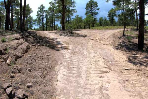
Pajarito - FR 446CC
Pajarito (FR446CC) serves as an access road used to connect users to the northern trail system. The road begins at the end of Maria's Canyon, with a notable landmark, the large open grazing area that usually is accompanied by a large watering hole. Just past this landmark, Pajarito begins as you con...
Learn more about Pajarito - FR 446CC
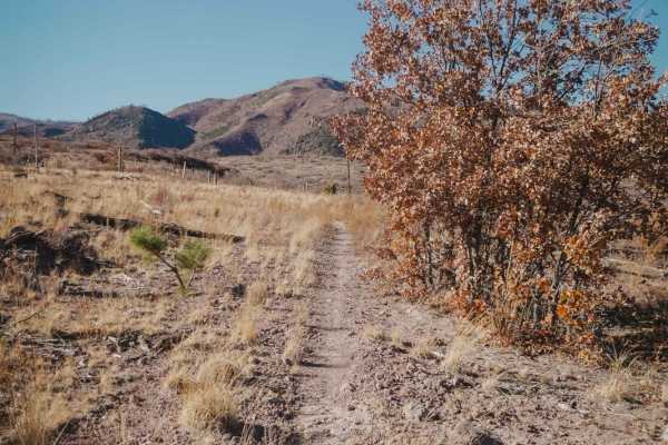
Pine Spring
Pine Spring is an intermediate single track in the Sante Fe National Forest north of the town of Los Alamos. Both entrances to the trail are pretty faint and hidden, so a GPS track is super helpful to get onto this trail. The north end is a faint trail off Road 445 near the west end of Corral Canyon...
Learn more about Pine Spring
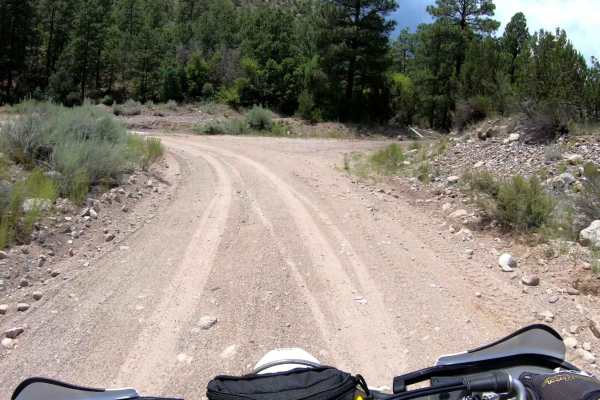
Maria's Canyon - FS 416
Maria's Canyon, FS 416, is a scenic off-road forest service road that offers an engaging experience and serves as the main access route into the extensive trail system in the area, making it a vital pathway for both recreational users and those exploring the natural beauty of the region. The journey...
Learn more about Maria's Canyon - FS 416
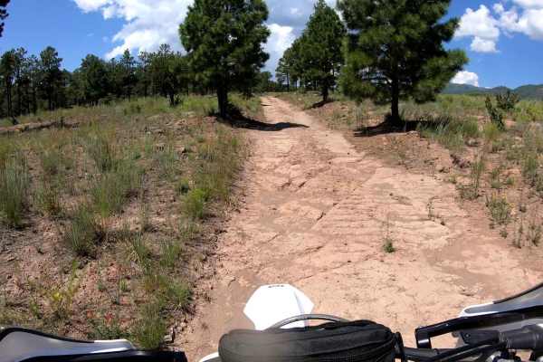
FR445B
FR445B is a major access road providing access to the western trail system in the area. 445B features a rock bed surface, providing a natural and rugged experience while remaining accessible to most vehicles equipped for light off-roading. The varying elevation adds an element of challenge without o...
Learn more about FR445B
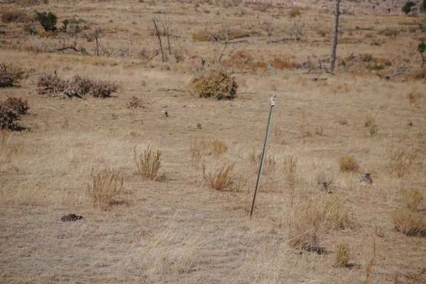
Mule Train
Mule Train is an intermediate single track north of Los Alamos, New Mexico, with some moderate rocky sections that will require significant route-finding skills when the trail goes through a burn area. The northwest entrance to the trail is easier to find compared to the southeast entrance, because ...
Learn more about Mule Train
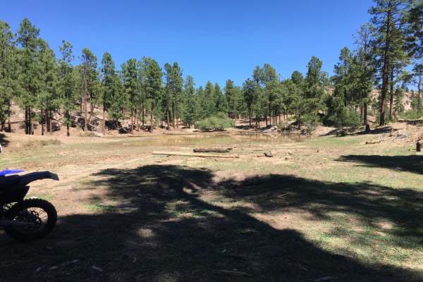
Chupaderos South Trail 822 (Around the Mountain)
Chupaderos South Trail 822, also known as Around the Mountain, is an engaging 1.8-mile single-track trail designed primarily for dirt bikes, offering scenic views and light technical challenges as it winds through a picturesque mountain landscape. Starting just off Maria's Canyon Road, the trail's e...
Learn more about Chupaderos South Trail 822 (Around the Mountain)
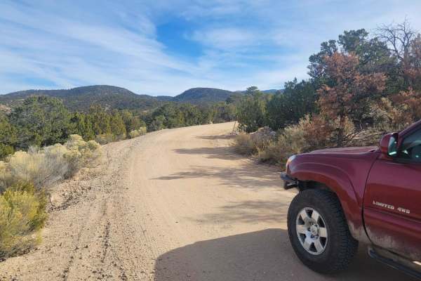
Borrego Mesa Trail
Beginning in the New Mexico town of Cordova, this trail climbs into the foothills of the Sangre De Christo Mountains. While the Borrego Mesa trail itself is relatively easy, it provides access to several other moderate routes throughout the area, as well as hiking and camping opportunities. Frequent...
Learn more about Borrego Mesa Trail
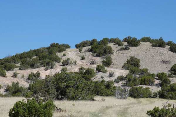
Sierra Negra Canyon
Sierra Negra Canyon is a point-to-point trail that connects from FS-23/FS137 Abiquiu to El Rito down to SR-554, which can be run from either direction. For a more challenging experience, it is suggested to begin at the southern entrance located off of SR-554 and follow the arid desert road to the no...
Learn more about Sierra Negra Canyon
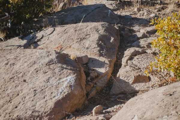
Alamitos Loop
The Alamitos Loop is a fun and challenging trail in the OHV area north of the town of Los Alamos that will require some significant route finding in spots. The north end starts off of the Pine Spring single track and the trail rides along the top of a mesa, through a burn area with several big downe...
Learn more about Alamitos Loop
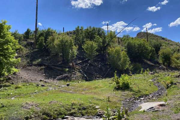
Guaje
Guaje Trail is Forest Service Road #803. The lower portion of the trail from town is fairly mild and traverses the ridge top. As the trail climbs, expect a shelf road with a fairly steep grade and lots of loose rocky boulders. The dirt on the ridge top can become very slick and muddy during rainfall...
Learn more about Guaje
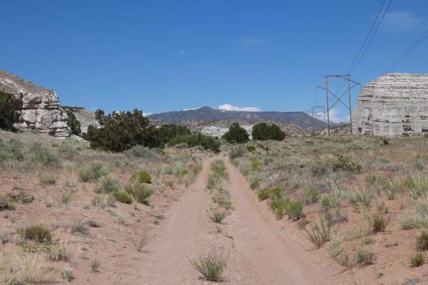
El Puertecito Pass
El Puertecito Pass is an out-and-back trail that tracks through a moderate portion of the Arroyo del Cobre before passing between the El Puertecito Pass at the base of the two taller peaks in the area and eventually ends at a private land boundary. Starting on a primarily dirt surface single vehicle...
Learn more about El Puertecito Pass
ATV trails near Chamita, New Mexico
Explore ATV-friendly trails near you. These trails are accessible for vehicles up to 50 inches wide, perfect for ATVs and smaller off-road machines.
Prairie Dog Cruise
This trail begins in Cuarteles, New Mexico, and spans numerous desert hills and arroyos. The ride is approximately 10.5 miles and concludes North on the outskirts of Alcalde, NM. The trail can be traveled either North to South or South to North. The trail has beautiful views of the surrounding Jemez...
Learn more about Prairie Dog Cruise
Rio Del Oso
This is a tight and narrow unmaintained forest service road that traverses through sand and rock while following Rio Del Oso Creek. The last leg of the trail is the most challenging. The road enters the creek bed and becomes a rock garden, with one small waterfall climb followed by a loose hill with...
Learn more about Rio Del Oso
Chupaderos Connector
Chupaderos Connector is primarily a section of Forrest Service Road 446 that connects Forrest Service Road 446H and the trail head Chupaderos Spur 824. It is an easy, full-width trail with no natural obstacles. There can be large ruts and small boulder sections depending on runoff off but it is most...
Learn more about Chupaderos Connector
Pajarito - FR 446CC
Pajarito (FR446CC) serves as an access road used to connect users to the northern trail system. The road begins at the end of Maria's Canyon, with a notable landmark, the large open grazing area that usually is accompanied by a large watering hole. Just past this landmark, Pajarito begins as you con...
Learn more about Pajarito - FR 446CC
UTV/side-by-side trails near Chamita, New Mexico
Find UTV and side-by-side trails near you. These trails accommodate vehicles up to 60 inches wide, ideal for UTVs, side-by-sides, and wider off-road rigs.
Prairie Dog Cruise
This trail begins in Cuarteles, New Mexico, and spans numerous desert hills and arroyos. The ride is approximately 10.5 miles and concludes North on the outskirts of Alcalde, NM. The trail can be traveled either North to South or South to North. The trail has beautiful views of the surrounding Jemez...
Learn more about Prairie Dog Cruise
Chupaderos Connector
Chupaderos Connector is primarily a section of Forrest Service Road 446 that connects Forrest Service Road 446H and the trail head Chupaderos Spur 824. It is an easy, full-width trail with no natural obstacles. There can be large ruts and small boulder sections depending on runoff off but it is most...
Learn more about Chupaderos Connector
Pajarito - FR 446CC
Pajarito (FR446CC) serves as an access road used to connect users to the northern trail system. The road begins at the end of Maria's Canyon, with a notable landmark, the large open grazing area that usually is accompanied by a large watering hole. Just past this landmark, Pajarito begins as you con...
Learn more about Pajarito - FR 446CC
Maria's Canyon - FS 416
Maria's Canyon, FS 416, is a scenic off-road forest service road that offers an engaging experience and serves as the main access route into the extensive trail system in the area, making it a vital pathway for both recreational users and those exploring the natural beauty of the region. The journey...
Learn more about Maria's Canyon - FS 416
The onX Offroad Difference
onX Offroad combines trail photos, descriptions, difficulty ratings, width restrictions, seasonality, and more in a user-friendly interface. Available on all devices, with offline access and full compatibility with CarPlay and Android Auto. Discover what you're missing today!
Open Trail Map