Rio Del Oso

Total Miles11.8
Technical Rating
5Moderate
Best TimeSpring, Summer, Fall
Trail TypeHigh-Clearance 4x4 Trail
Accessible By
Open Trail Map

Trail Overview

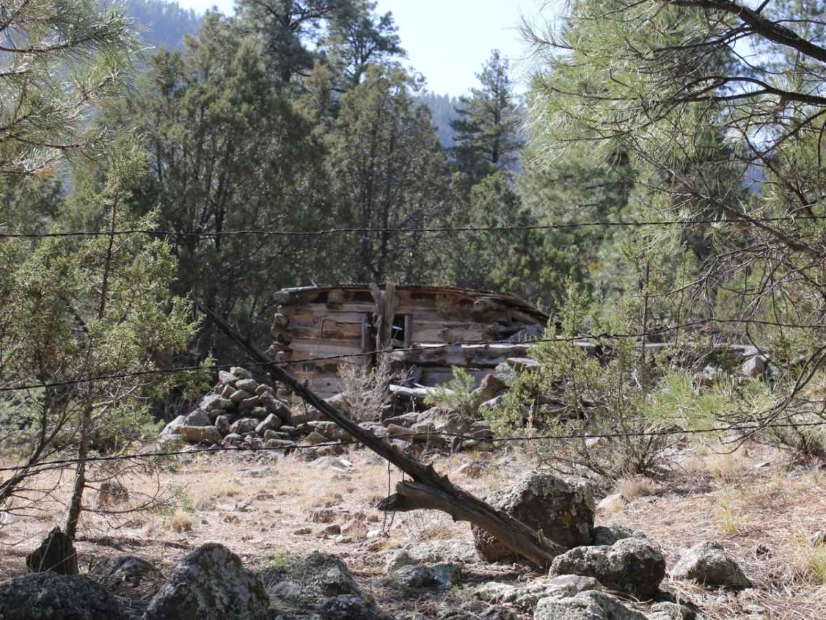
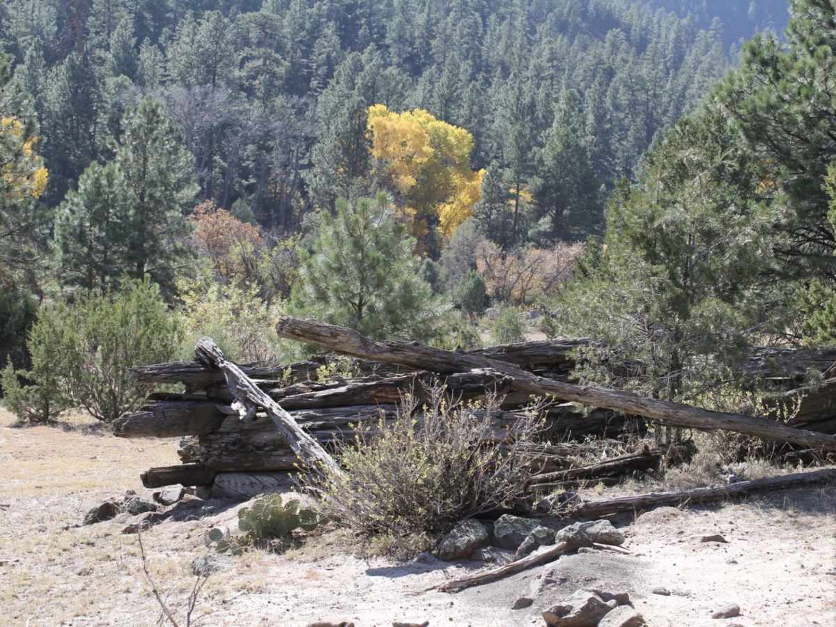
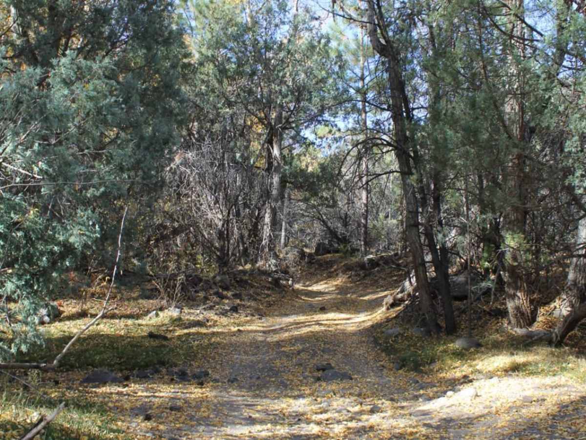
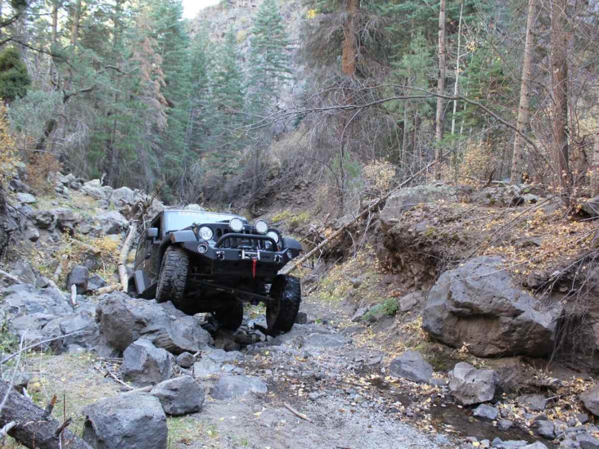
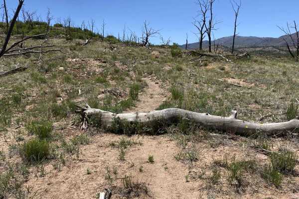
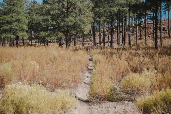
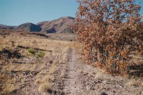
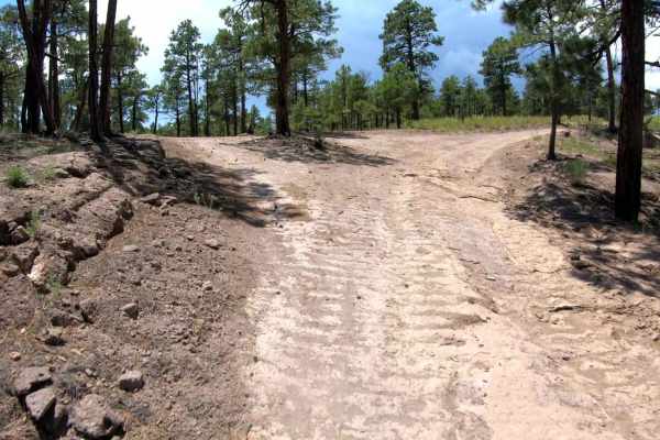
This is a tight and narrow unmaintained forest service road that traverses through sand and rock while following Rio Del Oso Creek. The last leg of the trail is the most challenging. The road enters the creek bed and becomes a rock garden, with one small waterfall climb followed by a loose hill with several large rocks. The trail then exits via forest road 31B, a tight self road that leads up to forest road 144. At this intersection, turning left will take you back to Espanola, NM.There are a handful of old settlement cabins in the area. Many of which are just rock foundations and are on private property. There are also several small springs and many breathtaking cliffs. This road is open year-round, but can become more difficult during winter and early spring due to snow accumulation in areas of the canyon that the sun does not reach.

Photos of Rio Del Oso

Difficulty

The road consist of loose sand and rock. The last 1.5 miles of the trail can become extremely difficult to a unprepared vehicle. Skid plates and body protection is recommended for vehicles, along with appropriate recovery gear.

Technical Rating

5

Status Reports

Add Status Report
Jonathan Rivera
Oct 26, 2025
Obstructed
WashoutDowned TreeImpassable Water Crossing
Rio del Oso trail is impassable at 36.03873, -106.29956 from both the north and south side. This area is located closer to 31 Mile Road (Forest Road 144) about 1.2 miles from 31 mile road. Very disappointing because those 1.2 miles up to this point were AMAZING! https://youtube.com/shorts/PSNPcJMa_6Q
Zachary Babiarz
Mar 25, 2025
Obstructed
Washout
Great trail. Very tight for a full size vehicle and the main path has changed many times since it’s a huge wash. We cleared a dozen trees on the trail but finally about 85% of the way in the road was complete washed out and impassable.
Eli Trujillo
Jun 30, 2024
Obstructed
WashoutDowned TreeImpassable Water Crossing
7 miles up from us84. after last nights storm. 6/29/24 the trail is impassable. 4 to 5 foot drop offs at the creek crossing and no viable way to get around it. all crossing below this point are washed out as well. several large log jams and water running roughly 1 to 2 feet deep in some places. we came back a different route. land owners said they are trying to work with the forest service for some repairs
Jason Stratton
Jun 23, 2024
2023 Jeep Wrangler
Open
Rough/Deteriorated
Major flood on June 21 washed out large sections of trail and water crossings. Only made it up 5 miles before turning back due to incoming storm. Lower section of trail much more difficult than normal due to washouts. Unsure if upper sections are passable.
Samuel Beck
Apr 27, 2024
Open
Rough/Deteriorated
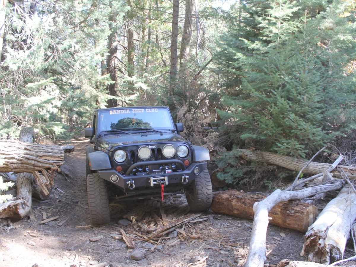
Winched away one tree across the road. Original trail crossing the stream towards the end completely eroded. New trail being used, very steep, rocky, and loose. Trees all along the trail have been chainsaw cleared. Trail is low and narrow between fallen trees and rocks. If you choose your path carefully you can make it with 18” obstacles. Need high clearance 4x4, and suggest you have lockers, and trail experience.
Jason Stratton
Aug 23, 2023
2023 Jeep Wrangler
Open
Rough/Deteriorated
ruckus e
Jun 10, 2023
Obstructed

Rio Del Oso Trail can be accessed by the following ride types:

  • Single Track
  • 50 Inch
  • High Clearance

Rio Del Oso Map

The onX Offroad Difference

onX Offroad combines trail photos, descriptions, difficulty ratings, width restrictions, seasonality, and more in a user-friendly interface. Available on all devices, with offline access and full compatibility with CarPlay and Android Auto. Discover what you're missing today!

Open Trail Map