
Dirt Bike Trails
Near Central City, Arizona
Explore All Dirt Bike Trails Near Central City, Arizona
Dirt Bike Trails Near Central City, Arizona
Discover the best dirt bike trails near you. Browse trail maps, check difficulty ratings, and find your next adventure — whether you're looking for a quick ride or an all-day expedition.
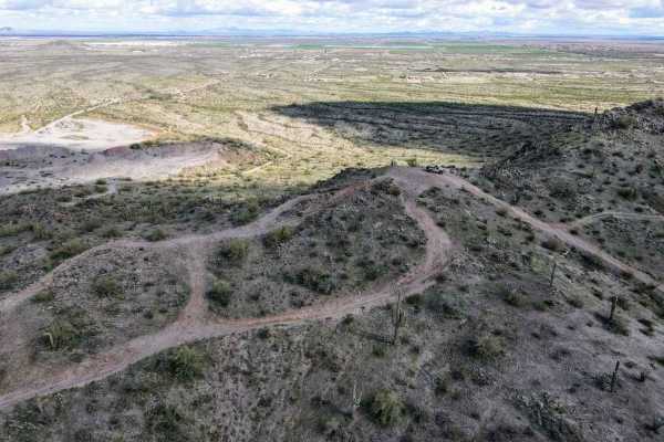
Top Of The World
This is a short leisurely cruise through the desert. It is great for beginners, sightseeing, or testing out new parts. Parts of this trail pass through Arizona Trust Land, so a pass is required. The vast majority of this trail is a single-lane dirt road, with a few wash crossings. The highlight of t...
Learn more about Top Of The World
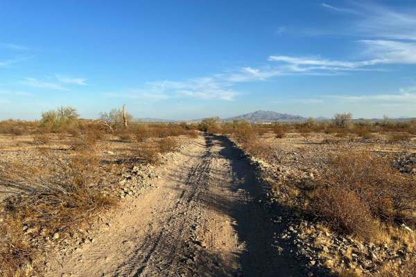
Sienna Hills Super Highway
This two-track connector trail is a great quick rip for a SXS, quad, or dirtbike. This trail connects the Sienna Hills neighborhood to the "Buckeye Dunes" and Watson Road. Plenty of fun features make this not only a fun trail but useful as well. There are a few sections you need to pay attention to ...
Learn more about Sienna Hills Super Highway
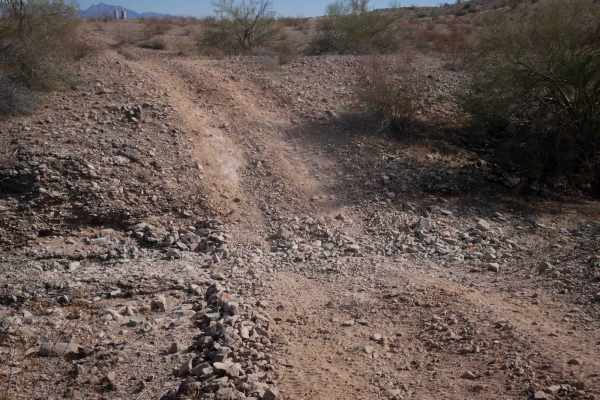
BH1112
This is a short dirt bike trail that is more like an old road. It's road-width the entire way, and it's a gravelly surface over rolling hills. The trail is covered in loose rock, and it has big dips into ravines and washes, often with a steep entrance and rocky at the bottom of the ravine. It's most...
Learn more about BH1112
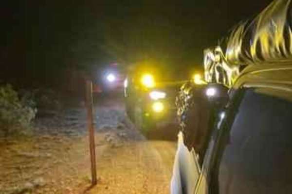
Smooth Sailing
After traveling down Maricopa Road 238 and exiting on 99th Avenue in Mobile, turn down a gas pipeline road and you will find an easy trail next to Road 8054. This easy but fun trail leads you on a journey back to 238. This is an amazing place to do night photography.
Learn more about Smooth Sailing
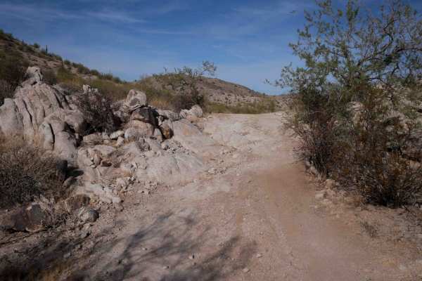
BH1106
This trail is a two-track width for the 1.4-mile route. It starts at an unmarked entrance on both ends on a mid-width path, narrower than a Jeep trail, between the bushes. It has some big wide corners on a gravelly surface, making it slippery at times. It goes next to the giant saguaro cactus and up...
Learn more about BH1106
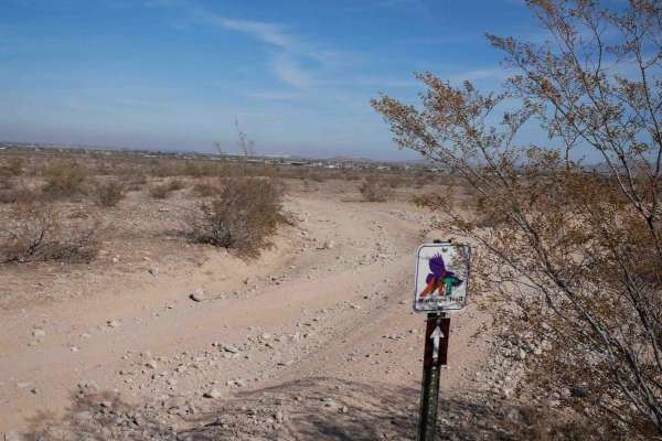
Maricopa Trail BH1175
This is a short but easy ATV trail through the BLM land south of Buckeye, Arizona. It's a wide road-width trail for the whole route. It's very easy the whole way, except it has wash crossings that will require high clearance as they dip down a foot into the wash, with loose rocks and sand. The trail...
Learn more about Maricopa Trail BH1175
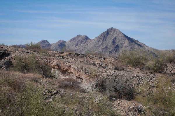
BH1075
This is a 6-mile-long dirt bike trail through the BLM south of Buckeye, Arizona. The trail is a mix of wide two-track, road, and singletrack, and it's very faint and hard to follow at times. It starts out as a wide trail on either end of the loop. There are loose softball-sized rocks in the trail, b...
Learn more about BH1075
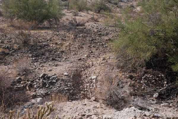
BH1105
This is an easy but faint, short dirt bike trail near Buckeye, Arizona. Both entrances are unmarked and hidden, and you'd only know to ride it if you had a map. There are only a couple of tracks to follow, but most tracks have been washed away. It meanders through the hillsides between the cactus an...
Learn more about BH1105
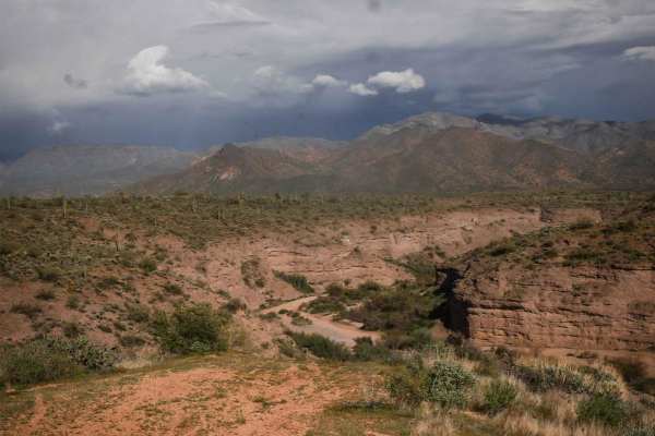
398 Powerline
398 is a longer powerline trail in the Tonto National Forest near Camp Creek, Arizona. It's a main route from the west entrance to this OHV area off of North 14th Street and runs east, accessing tons of 4x4 trails before ending at an overlook of the canyon that is Camp Creek. A lot of it is a wide a...
Learn more about 398 Powerline
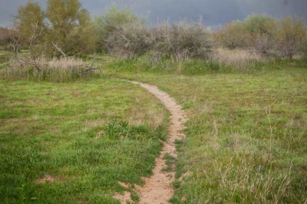
Camp Creek Access Single Track
You can take this short single track from the staging area off of North 14th Street to access the Powerline Trail, which will take you to the many other off-roading trails in this zone of the Tonto National Forest. The trail is a mile-long meander through the green desert landscape full of saguaros ...
Learn more about Camp Creek Access Single Track
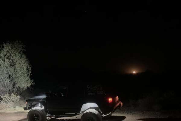
Bulldog Wash
This trail is just off Ellsworth Road and takes you right to Bulldog Canyon trail. Most of it is a sandy wash that weaves around the Arizona desert. Expect some canyon walls, with one rocky section and a dirt and rock hill halfway through the trail. You will need a code to access this trail. The cod...
Learn more about Bulldog Wash
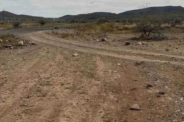
West Desert Hills Trail
West Desert Hills Trail is a bumpy dirt route with many scattered rocks that eventually leads out to a popular shooting area. While the trail is rough in places, there are no technical sections or major obstacles, making it relatively easy to navigate. The trail is lined with desert creosote and cho...
Learn more about West Desert Hills Trail
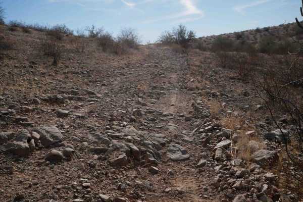
BH1074 ATV
This is a short ATV trail through BLM land south of the town of Buckeye, Arizona. It's a wide easy two-track for the entire route, winding between the bushes, in a barren desert terrain. It has big wide corners and a gravelly surface, so it can be slippery in spots. It's twisty through the hills, bu...
Learn more about BH1074 ATV
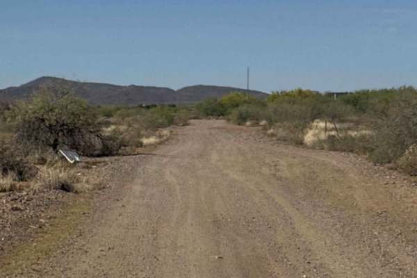
Fence Line Connector
Fence Line Connector is a north–south connector trail linking the Trail of Opportunity with the West Desert Hills Trail. The connection point also serves as an entry access into the surrounding trail system. The route travels over a few small hills with occasional ruts and minor washouts, but there ...
Learn more about Fence Line Connector
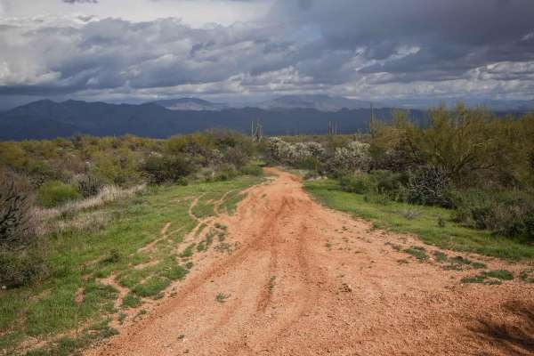
Camp Creek Access ATV Trail
This is a short ATV trail in the Tonto National Forest that accesses hundreds of miles of trails near Camp Creek, Arizona. Although accessible by ATV, it's more like a single track and is mostly ridden by dirt bikes because it's pretty narrow. It goes flat and straight through green desert terrain w...
Learn more about Camp Creek Access ATV Trail
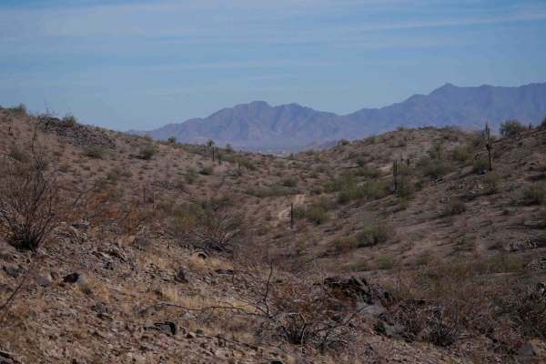
BH1107
This is a road-width trail for dirt bikes. It's mostly very easy the whole route, but does have some slightly off-camber spots as it goes around the hillsides. The trail is covered in loose rock and gravel, with washouts and steep dips into ravines that will require high clearance. It has steep litt...
Learn more about BH1107
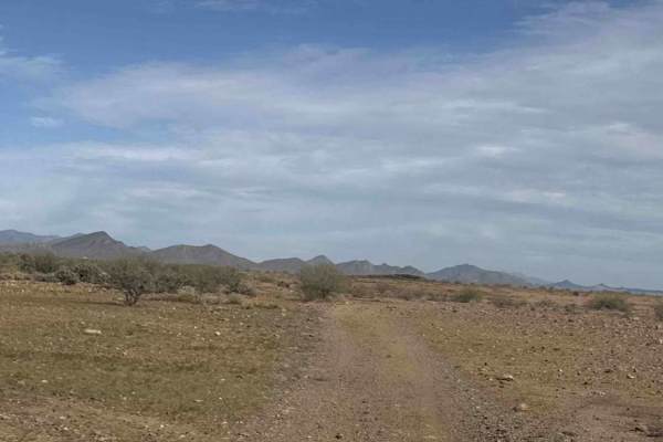
West Rockaway Hills Road
West Rockaway Hills Road serves as a connector trail leading toward the Opportunity Trail. It runs east–west as a point-to-point route and provides a fun drive through the desert. The trail features large ruts formed from past rainfall, so drivers should watch their speed and line choice while trave...
Learn more about West Rockaway Hills Road
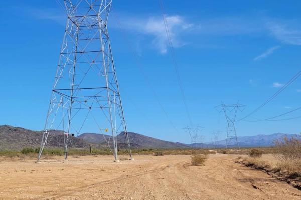
Zip Zap
This power line service trail connects to the Boulder Creek Ranch area. It's primarily easy in technicality, but the southern end of the trail does have a couple of short technical rock garden sections. There are some sandy washes to cross. There is a fence along the Boulder Creek Ranch property lin...
Learn more about Zip Zap
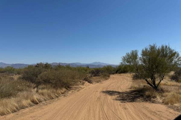
Entrance Trail to the Tonto National Forest Desert Vista OHV
This is the new entrance trail to the Tonto National Forest Desert Vista OHV Area as of October 2024. The entrance used to be farther north, but after the closure due to fires, the USFS built a new entrance trail to the system. This trail is difficult to find from the trail system, so look for the S...
Learn more about Entrance Trail to the Tonto National Forest Desert Vista OHV
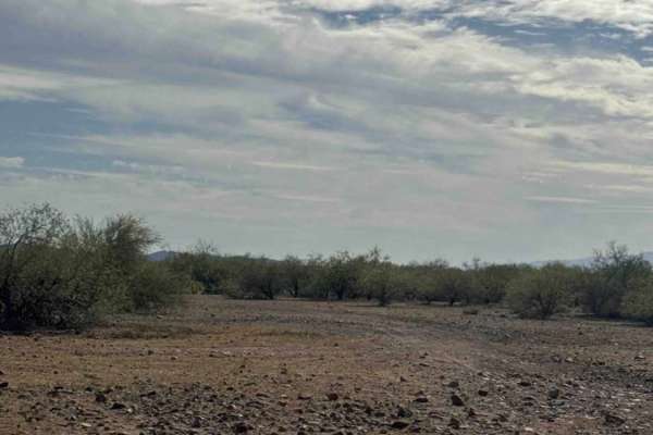
Trail of Opportunity
Trail of Opportunity is a point-to-point connector trail that runs primarily east–west through the desert before turning as it approaches the wash. The route is a dirt and gravel road that is generally easy to drive but can be bumpy with a few scattered rocks along the way. The trail is easy to navi...
Learn more about Trail of Opportunity
ATV trails near Central City, Arizona
Explore ATV-friendly trails near you. These trails are accessible for vehicles up to 50 inches wide, perfect for ATVs and smaller off-road machines.
Top Of The World
This is a short leisurely cruise through the desert. It is great for beginners, sightseeing, or testing out new parts. Parts of this trail pass through Arizona Trust Land, so a pass is required. The vast majority of this trail is a single-lane dirt road, with a few wash crossings. The highlight of t...
Learn more about Top Of The World
Sienna Hills Super Highway
This two-track connector trail is a great quick rip for a SXS, quad, or dirtbike. This trail connects the Sienna Hills neighborhood to the "Buckeye Dunes" and Watson Road. Plenty of fun features make this not only a fun trail but useful as well. There are a few sections you need to pay attention to ...
Learn more about Sienna Hills Super Highway
BH1112
This is a short dirt bike trail that is more like an old road. It's road-width the entire way, and it's a gravelly surface over rolling hills. The trail is covered in loose rock, and it has big dips into ravines and washes, often with a steep entrance and rocky at the bottom of the ravine. It's most...
Learn more about BH1112
Smooth Sailing
After traveling down Maricopa Road 238 and exiting on 99th Avenue in Mobile, turn down a gas pipeline road and you will find an easy trail next to Road 8054. This easy but fun trail leads you on a journey back to 238. This is an amazing place to do night photography.
Learn more about Smooth Sailing
UTV/side-by-side trails near Central City, Arizona
Find UTV and side-by-side trails near you. These trails accommodate vehicles up to 60 inches wide, ideal for UTVs, side-by-sides, and wider off-road rigs.
Top Of The World
This is a short leisurely cruise through the desert. It is great for beginners, sightseeing, or testing out new parts. Parts of this trail pass through Arizona Trust Land, so a pass is required. The vast majority of this trail is a single-lane dirt road, with a few wash crossings. The highlight of t...
Learn more about Top Of The World
Sienna Hills Super Highway
This two-track connector trail is a great quick rip for a SXS, quad, or dirtbike. This trail connects the Sienna Hills neighborhood to the "Buckeye Dunes" and Watson Road. Plenty of fun features make this not only a fun trail but useful as well. There are a few sections you need to pay attention to ...
Learn more about Sienna Hills Super Highway
BH1112
This is a short dirt bike trail that is more like an old road. It's road-width the entire way, and it's a gravelly surface over rolling hills. The trail is covered in loose rock, and it has big dips into ravines and washes, often with a steep entrance and rocky at the bottom of the ravine. It's most...
Learn more about BH1112
Smooth Sailing
After traveling down Maricopa Road 238 and exiting on 99th Avenue in Mobile, turn down a gas pipeline road and you will find an easy trail next to Road 8054. This easy but fun trail leads you on a journey back to 238. This is an amazing place to do night photography.
Learn more about Smooth Sailing
The onX Offroad Difference
onX Offroad combines trail photos, descriptions, difficulty ratings, width restrictions, seasonality, and more in a user-friendly interface. Available on all devices, with offline access and full compatibility with CarPlay and Android Auto. Discover what you're missing today!
Open Trail Map