
Dirt Bike Trails
Near Castle Dale, Utah
Explore All Dirt Bike Trails Near Castle Dale, Utah
Dirt Bike Trails Near Castle Dale, Utah
Discover the best dirt bike trails near you. Browse trail maps, check difficulty ratings, and find your next adventure — whether you're looking for a quick ride or an all-day expedition.
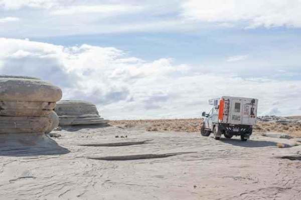
Hamburger Rocks
This is a short drive on a mostly one-lane dirt road leading to Hamburger Rocks. It's a fun area to explore on foot or by vehicle. The road passes through a sandy open range with hills to the west before arriving at the rocks. When arriving at the rocks, keep right to drive onto the lower rocks and ...
Learn more about Hamburger Rocks
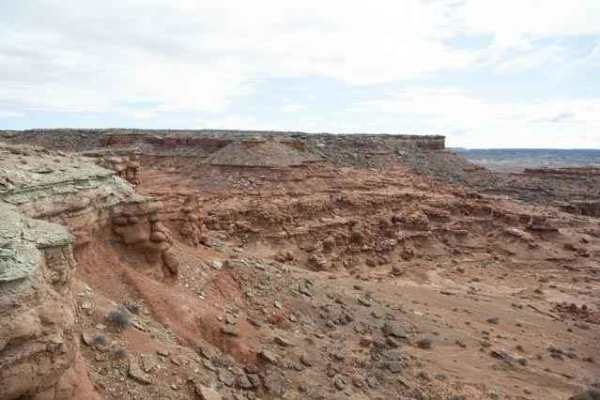
Little Goblin Valley
This is a short drive on a one-lane dirt road leading to a canyon rim overlooking Little Goblin Valley, a series of hoodoo rock formations. Starting at Hamburger Rocks, the road alternates between dirt, sand, and solid rock while crossing a few washes and off-camber terrain before arriving at the ov...
Learn more about Little Goblin Valley
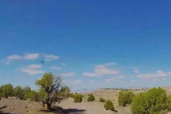
BLM 402
This is a gravel connector between Cedar Mountain and the routes to Hamburger Rocks and the Buckhorn Wash visitor center. This easy trail has only a few rough spots, and driving across the earthen dam at the northern end is the only off-camber section. Definitely a time saver compared to alternati...
Learn more about BLM 402
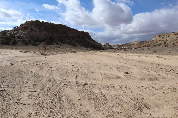
Bellevue Flats
This route darts back and forth across a dry wash from Bellevue Flats. It is a gradual, almost unnoticeable climb and features some frolicking trail undulations and whoops, as well as banked turns. Although it is a wash, the rocks are few and far between, except when the trail pops out of the ravine...
Learn more about Bellevue Flats
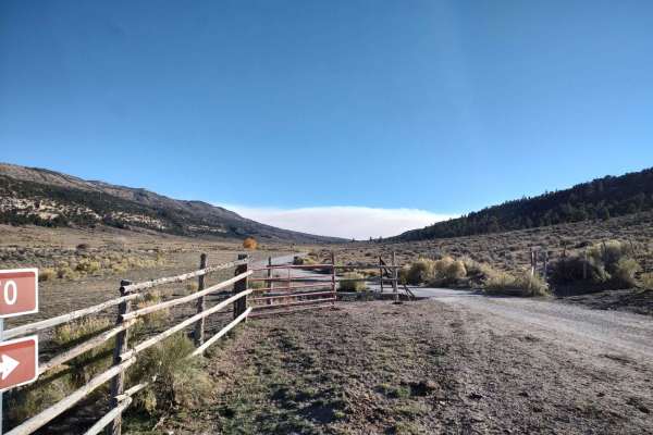
Mary's Lake
1500+ elevation Change from Sagebrush to Alpine Forest with dispersed camping and fishing at the lake. Fun trails to connect to such as the Horn Mountain Trail. Rain or snow will make travel difficult as there are some steep climbs. Lots of views and pretty meadows to see and share.
Learn more about Mary's Lake
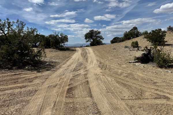
County Road 3417
This scenic backcountry route travels across open desert ridgelines and rolling terrain with wide views in nearly every direction. The trail is primarily a narrow two-track made up of dirt, sand, and small loose rock, with gentle climbs, shallow dips, and sweeping curves as it winds through scattere...
Learn more about County Road 3417
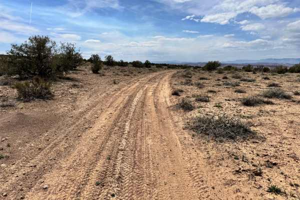
West Wedge Trail 2
Non-Resident OHV permits apply to ATVs, UTVs, and dirt bikes. Plated street-legal vehicles typically do not need one on legal motorized routes. This route travels across open desert terrain on a lightly maintained sandy dirt track with occasional small rocks and shallow ruts. The drive is generally ...
Learn more about West Wedge Trail 2
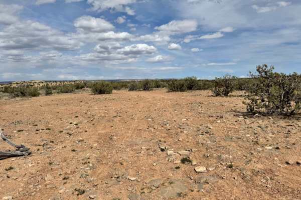
West Wedge Trail 1
This route travels across open desert flats before winding through scattered juniper and sagebrush toward the edge of the dramatic Sid's Mountain Wilderness. The trail is primarily a narrow dirt two-track with sections of loose sand, embedded rock, and occasional uneven surfaces that keep drivers pa...
Learn more about West Wedge Trail 1
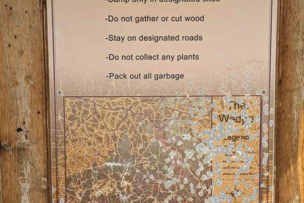
Wedge Cutoff Road - CR 406
This sandy trail is a shortcut between Green River Cutoff Road and Wedge Overlook Road (CR405) saving over four miles. It is a relatively easy, graded road. The trail is wide with large sweeping turns. It can get washboarded during times of heavy traffic. Be cautious of vehicles going in the other d...
Learn more about Wedge Cutoff Road - CR 406
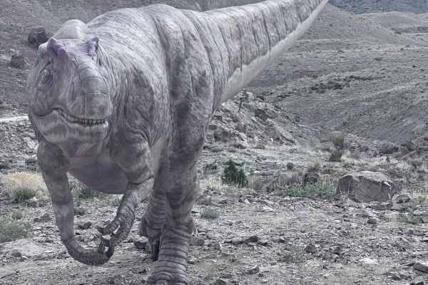
Dinosaur Quarry Road
Dinosaur Quarry Road is a 6.2-mile point-to-point trail that ends at the Jurassic National Monument. The Jurassic National Monument is a fee area and is open Thursday-Sunday from 10 AM to 5 PM, and is closed during the winter months. The road up to the Humbug Overlook trail turnoff is open every day...
Learn more about Dinosaur Quarry Road
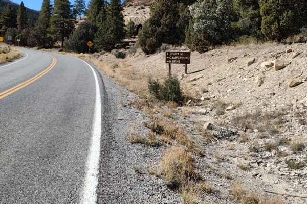
North Dragon to Horn Mountain
North Dragon to Horn Mountain is a scenic 33.5-mile offroad route starting near Joes Valley Reservoir that offers breathtaking vistas of pine- and aspen-covered slopes for four-wheel-drive vehicles and SxSs. This trail takes riders from an elevation of approximately 7,000 feet up to over 9,100 feet,...
Learn more about North Dragon to Horn Mountain
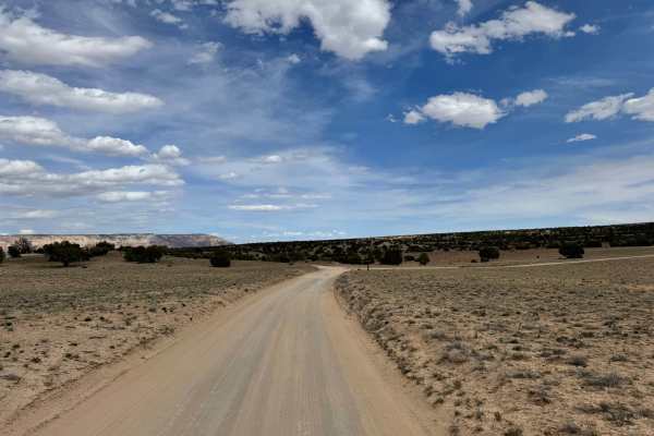
Lower Wedge Road
Non-Resident OHV permits apply to ATVs, UTVs, and dirt bikes. Plated street-legal vehicles typically do not need one on legal motorized routes. This route is a very well-maintained dirt road and one of the easiest accesses in the area, making it suitable for most vehicles, including 2WD trucks and e...
Learn more about Lower Wedge Road
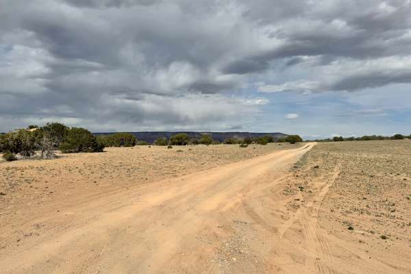
East Wedge
Non-Resident OHV permits apply to ATVs, UTVs, and dirt bikes. Plated street-legal vehicles typically do not need one on legal motorized routes. East Wedge is a scenic connector route in the San Rafael Swell that links Lower Wedge Road to Wedge Cutoff Road while offering a more remote and engaging al...
Learn more about East Wedge
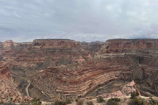
Route 6764
This is a neat trail that traverses along the edge of the wedge. Plenty of places to pull off and camp or just enjoy the stunning scenery. The trail itself is narrow, rocky, and exposed. The trail is short in length, but not short on scenery, plus if you are looking for an epic campsite, this is whe...
Learn more about Route 6764
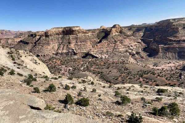
Wedge Road-Emery CR405
Wedge Road-Emery CR405 is a 6.7-mile point-to-point trail rated 2 of 10 located within the San Rafael Swell. The road is gravel and is easily passable by cars leading to destination viewpoints known as The Little Grand Canyon Overlook and The Wedge Overlook. The trail is a wide two-lane maintained r...
Learn more about Wedge Road-Emery CR405
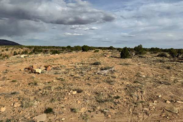
Buckhorn Wash Overlook
Non-Resident OHV permits apply to ATVs, UTVs, and dirt bikes. Plated street-legal vehicles typically do not need one on legal motorized routes. Buckhorn Wash Overlook is a relaxed scenic drive that delivers big views without the crowds often found in other parts of the San Rafael Swell. Following a ...
Learn more about Buckhorn Wash Overlook
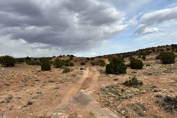
BLM 625
Non-Resident OHV permits apply to ATVs, UTVs, and dirt bikes. Plated street-legal vehicles typically do not need one on legal motorized routes. At first glance, this sub half mile connector between the Morrison Knudsen Tunnels and Buckhorn Wash Overlook might seem too short or too easy to matter, bu...
Learn more about BLM 625
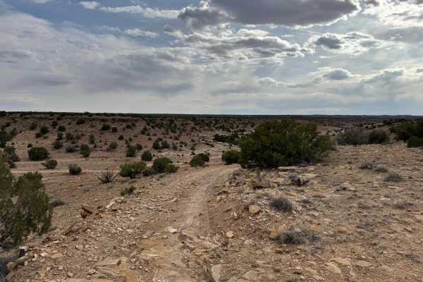
Morrison Knudsen Tunnels
Non-Resident OHV permits apply to ATVs, UTVs, and dirt bikes. Plated street-legal vehicles typically do not need one on legal motorized routes. This short out and back route leads directly to the intriguing Morrison Knudsen Tunnels, tucked into the northern edge of the San Rafael Swell near Buckhorn...
Learn more about Morrison Knudsen Tunnels
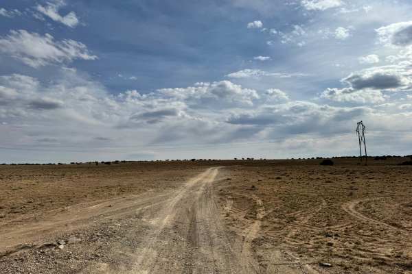
Morrison Knudsen Tunnels Overlook
Non-Resident OHV permits apply to ATVs, UTVs, and dirt bikes. Plated street-legal vehicles typically do not need one on legal motorized routes. This route offers a laid-back scenic drive across the open high desert terrain of the San Rafael Swell, making it a great option for those looking to explor...
Learn more about Morrison Knudsen Tunnels Overlook
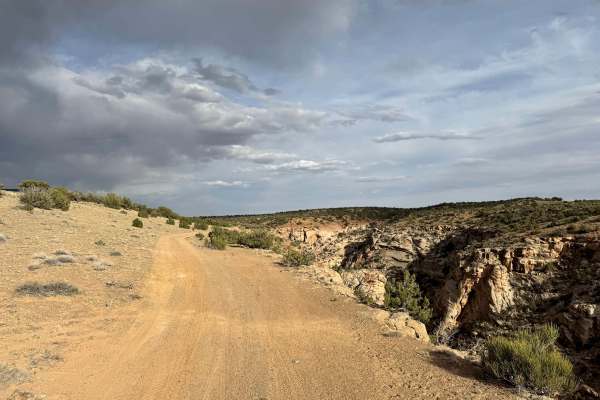
Little Hole
Non-Resident OHV permits apply to ATVs, UTVs, and dirt bikes. Plated street-legal vehicles typically do not need one on legal motorized routes. This scenic rim route follows along the edge of the Little Hole area, offering expansive views down into the carved canyon below and across the surrounding ...
Learn more about Little Hole
ATV trails near Castle Dale, Utah
Explore ATV-friendly trails near you. These trails are accessible for vehicles up to 50 inches wide, perfect for ATVs and smaller off-road machines.
Hamburger Rocks
This is a short drive on a mostly one-lane dirt road leading to Hamburger Rocks. It's a fun area to explore on foot or by vehicle. The road passes through a sandy open range with hills to the west before arriving at the rocks. When arriving at the rocks, keep right to drive onto the lower rocks and ...
Learn more about Hamburger Rocks
Little Goblin Valley
This is a short drive on a one-lane dirt road leading to a canyon rim overlooking Little Goblin Valley, a series of hoodoo rock formations. Starting at Hamburger Rocks, the road alternates between dirt, sand, and solid rock while crossing a few washes and off-camber terrain before arriving at the ov...
Learn more about Little Goblin Valley
BLM 402
This is a gravel connector between Cedar Mountain and the routes to Hamburger Rocks and the Buckhorn Wash visitor center. This easy trail has only a few rough spots, and driving across the earthen dam at the northern end is the only off-camber section. Definitely a time saver compared to alternati...
Learn more about BLM 402
Bellevue Flats
This route darts back and forth across a dry wash from Bellevue Flats. It is a gradual, almost unnoticeable climb and features some frolicking trail undulations and whoops, as well as banked turns. Although it is a wash, the rocks are few and far between, except when the trail pops out of the ravine...
Learn more about Bellevue Flats
UTV/side-by-side trails near Castle Dale, Utah
Find UTV and side-by-side trails near you. These trails accommodate vehicles up to 60 inches wide, ideal for UTVs, side-by-sides, and wider off-road rigs.
Hamburger Rocks
This is a short drive on a mostly one-lane dirt road leading to Hamburger Rocks. It's a fun area to explore on foot or by vehicle. The road passes through a sandy open range with hills to the west before arriving at the rocks. When arriving at the rocks, keep right to drive onto the lower rocks and ...
Learn more about Hamburger Rocks
Little Goblin Valley
This is a short drive on a one-lane dirt road leading to a canyon rim overlooking Little Goblin Valley, a series of hoodoo rock formations. Starting at Hamburger Rocks, the road alternates between dirt, sand, and solid rock while crossing a few washes and off-camber terrain before arriving at the ov...
Learn more about Little Goblin Valley
BLM 402
This is a gravel connector between Cedar Mountain and the routes to Hamburger Rocks and the Buckhorn Wash visitor center. This easy trail has only a few rough spots, and driving across the earthen dam at the northern end is the only off-camber section. Definitely a time saver compared to alternati...
Learn more about BLM 402
Bellevue Flats
This route darts back and forth across a dry wash from Bellevue Flats. It is a gradual, almost unnoticeable climb and features some frolicking trail undulations and whoops, as well as banked turns. Although it is a wash, the rocks are few and far between, except when the trail pops out of the ravine...
Learn more about Bellevue Flats
The onX Offroad Difference
onX Offroad combines trail photos, descriptions, difficulty ratings, width restrictions, seasonality, and more in a user-friendly interface. Available on all devices, with offline access and full compatibility with CarPlay and Android Auto. Discover what you're missing today!
Open Trail Map