Trail Overview
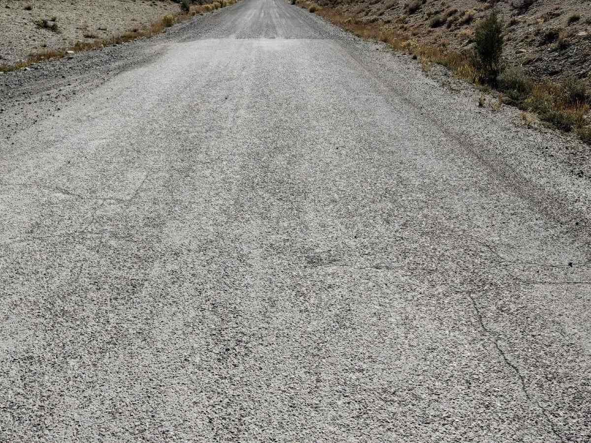
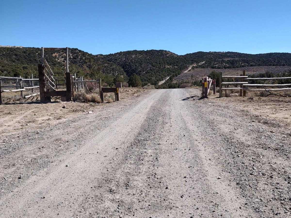
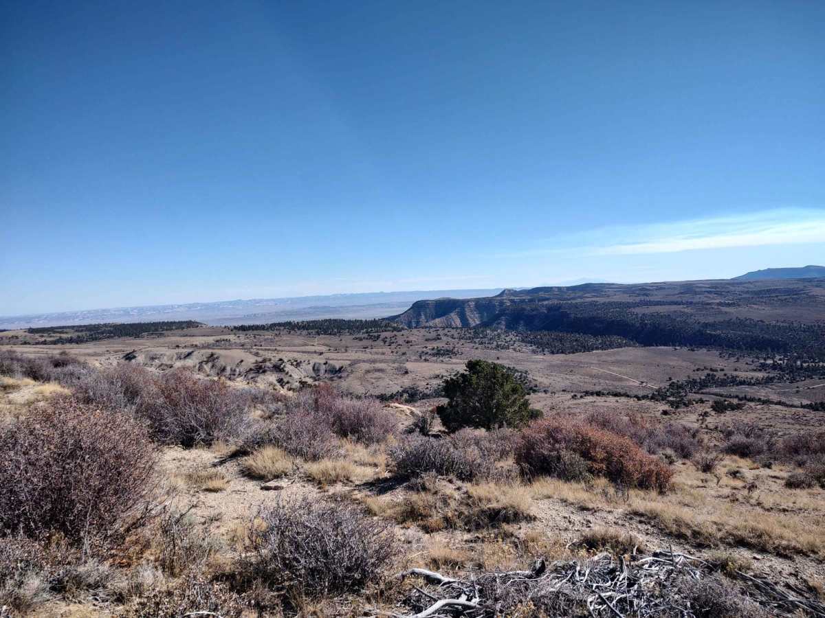
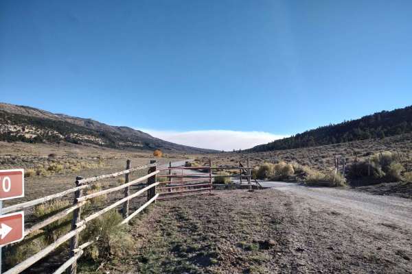
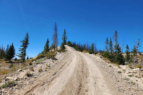
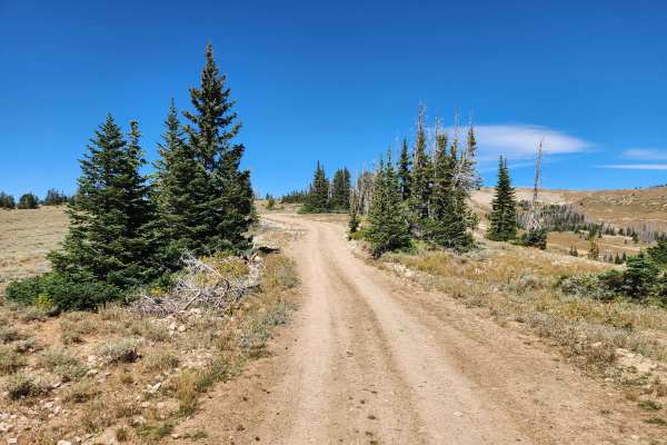
North Dragon to Horn Mountain is a scenic 33.5-mile offroad route starting near Joes Valley Reservoir that offers breathtaking vistas of pine- and aspen-covered slopes for four-wheel-drive vehicles and SxSs. This trail takes riders from an elevation of approximately 7,000 feet up to over 9,100 feet, climbing over 3,200 feet through a diverse landscape transitioning from sagebrush flats to high-alpine environments. The route is wide enough to accommodate full-size vehicles, making it an excellent choice for drivers seeking a scenic and moderately challenging climb. With a technical rating of 4, the path features some loose rocks and steep grades that require steady driving but remain highly accessible in dry, favorable conditions.
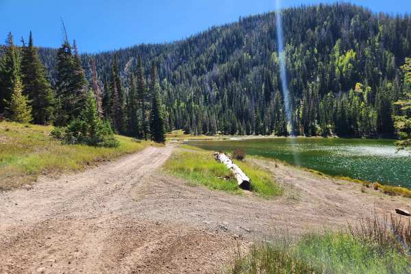
While the dirt road is straightforward when dry, wet weather or snowmelt can quickly turn the surface into sticky, slick mud where four-wheel-drive is absolutely mandatory to prevent getting stuck. There is a significant amount of backtracking required to return to the starting point, so drivers should plan their fuel and supplies accordingly for the round-trip journey. Numerous primitive camping spots are scattered along the route and around the Joe's Valley area, providing great opportunities for multi-day adventures and overnight stays. The route begins south of Joes Valley Reservoir where the pavement ends past the old marina, crossing Seeley Creek before transitioning into a dirt Forest Service road.
Difficulty
Some loose rocks and steep grades, also, subject to nasty sticky mud if rain or snow has made the road wet.