
Dirt Bike Trails
Near Buckshot, Arizona
Explore All Dirt Bike Trails Near Buckshot, Arizona
Dirt Bike Trails Near Buckshot, Arizona
Discover the best dirt bike trails near you. Browse trail maps, check difficulty ratings, and find your next adventure — whether you're looking for a quick ride or an all-day expedition.
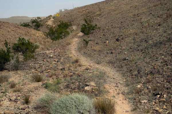
Bart
Bart is a fun desert singletrack meandering between the base of small desert hills, side-hilling along the edge, and across the tops of the low hills. It is a narrow path on a packed, loose rock surface that is easy to follow. It crosses over little spines and dips through little washes. The trail i...
Learn more about Bart
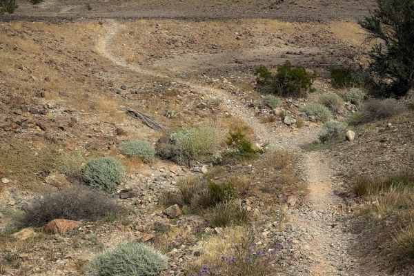
Backyard
Backyard is a short dirt bike trail that connects Bart to Bird Pole. It’s about a half mile long, and follows a narrow single track across the base of rolling desert hills, on a smooth surface of packed small loose rocks, dipping into small ravines as it flows over the rolling hills. Watch out for s...
Learn more about Backyard
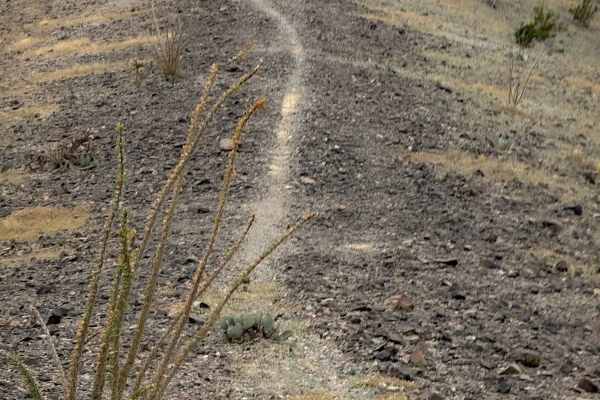
Flynnagain
Flynnagain is a fun 1.5-mile-long singletrack on the southern portion of the Laguna Hills trail system. The north entrance is marked with the name of the trail, and it rides across a barren hilltop full of dark colored, packed loose rocks. The trail is worn into the rocks, but there are also rock st...
Learn more about Flynnagain
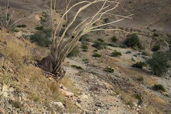
Bird Pole
Bird Pole is a short single track, but it has a steep climb that will be a good challenge for newer riders. It’s less than half a mile long, connecting Backyard to a full-width road. It starts out by crossing a wash that is a mix of sand and bigger rocks, then starts climbing up a steep slope that i...
Learn more about Bird Pole
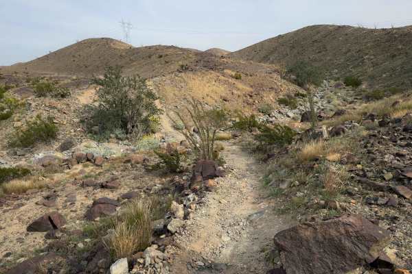
Ryan's
Ryan’s Trail is a fun dirt bike trail across the Laguna Hills that is mostly fast and flowy, and ideal for riders of all skill levels. It follows a narrow singletrack across small rolling hills, on a packed surface of loose rocks and dirt, with frequent dips into small ravines and wash crossings. Th...
Learn more about Ryan's
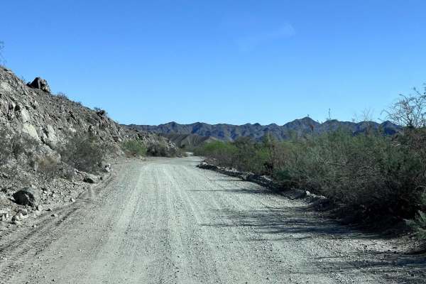
Laguna Ridge (AZPT)
Laguna Ridge (AZPT) is a challenging 14.2-mile point-to-point offroad trail through the scenic Laguna Hills offering stunning desert vistas and technical ridgeline driving. As a notable segment of the massive Arizona Peace Trail network, this route features dramatic elevation changes, starting at ap...
Learn more about Laguna Ridge (AZPT)
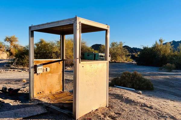
AZ Peace Trail The Fields To The Abandoned Bus Stop
This easy section of the Arizona Peace Trail is a unique sight along the route. It starts in the fields and canals and crosses the highway as it cuts through the large concrete and gravel plant. Once there, you drive between a large irrigation canal and the active train tracks. This route offers sup...
Learn more about AZ Peace Trail The Fields To The Abandoned Bus Stop
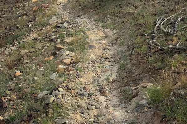
Moon Rocks
This trail is accessed halfway through Ryan’s and connects out to another dirt road. It follows the spine of a hill as a narrow single track, side-hilling on the edge of the hill, riding past big ocotillo cacti. It makes some sharp corners and crosses little ravines, sometimes with a sharp dip in an...
Learn more about Moon Rocks
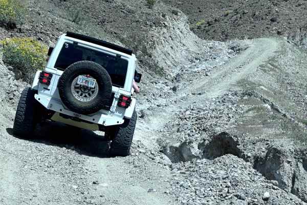
Laguna Hills Rollercoaster
This 11.2-mile trail takes you into the Laguna Mountain range north of Yuma. This area is very popular for Jeeps and SxSs. Many different trails take you up and down the different draws and spurs of this mountain range. This trail has several steep climbs/descents. There is a section on the east end...
Learn more about Laguna Hills Rollercoaster
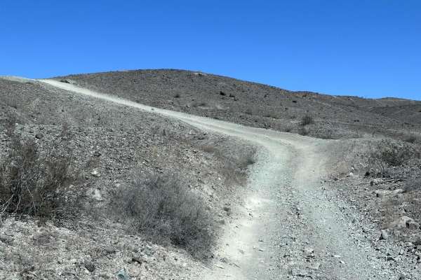
Ryan's Trail
Ryan's Trail is a 2.2 mile point to point trail within the Laguna Hills area. This trail turns off of the Laguna Ridge Trail and drops down into a wash crosses the Laguna Ridge trail and then connects to LCR1827. There are several memorials placed along this trail, Including the memorial for Ryan.
Learn more about Ryan's Trail
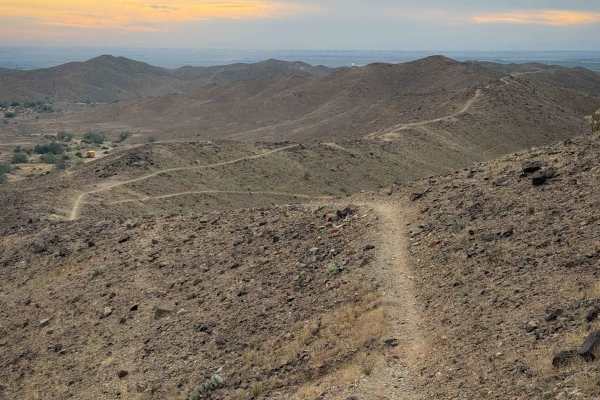
Johnnie Walker
Johnnie Walker is a fun singletrack through the Laguna hills that has a mix of side-hilling, spine riding, and rocky washes. It descends gradually from east to west, dropping almost 300 feet in elevation over 1.7 miles, as it descends from the hilltops to the valley below. On the hilltops, it’s a ve...
Learn more about Johnnie Walker
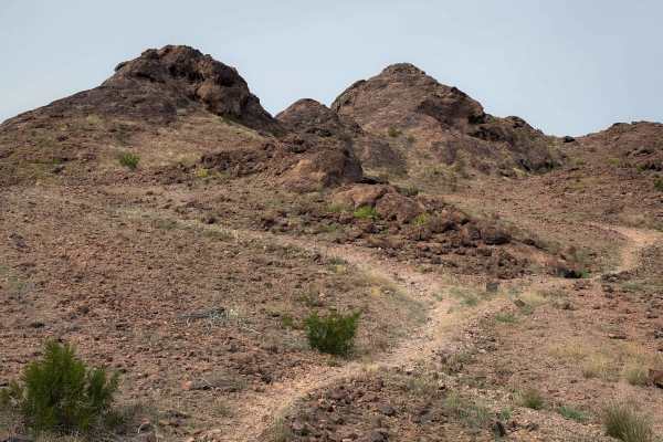
West Side (Easy)
West Side starts on the edge of one of the dirt roads in the Laguna Hills, and goes across a flat desert terrain that is packed loose rock. There are several rock “goal posts” that help mark the trail. It winds along the rolling desert hilltops and drops into a rocky wash. The trail can be a bit har...
Learn more about West Side (Easy)
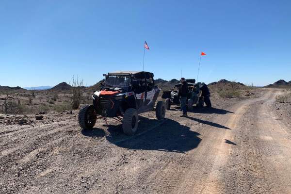
US 95 to Muggins Mountain Trails access Route
This is an easy access route from US 95 to the 3 Muggins Mountain Trails: Muggins Mountain West, Muggins Mountain Mid West, and Muggins Mountain East. This trek, if not previously mapped out, can be confusing and time-consuming as some of the supposedly "through roads" can be flooded and impassible ...
Learn more about US 95 to Muggins Mountain Trails access Route
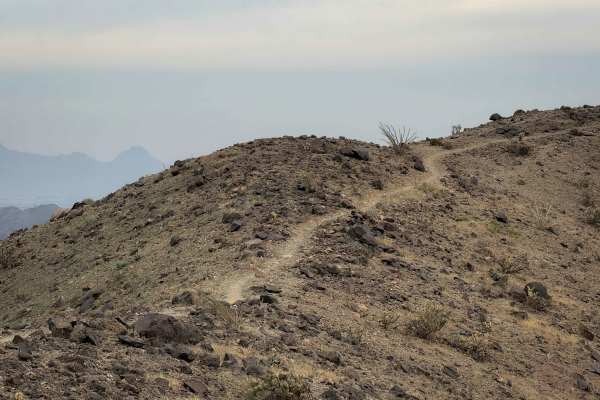
Champagne
Champagne is a short trail through the Laguna Hills that continues southeast after the Picnic Table Trail. The trail is almost a mile long, and overall gains a hundred feet of elevation as it rides along the ridge line on these flowing desert mountains. It constantly goes up and down small hills on ...
Learn more about Champagne
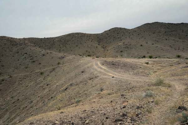
Picnic Table
This is a fun single track through the Laguna Hills that takes you to a picnic table with a scenic view of the surrounding mountains. From the west end, the trail drops down from a road on the ridge, continues as a narrow trail that side-hills along the mountainside through a barren desert terrain. ...
Learn more about Picnic Table
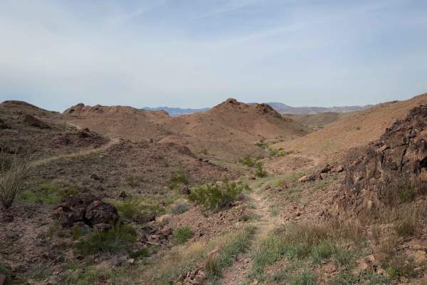
West Side (Moderate)
This segment of West Side heads into the hills from the road on a very narrow segment of trail that side-hills across the hillside with mild exposure. It has several sharp corners as it follows the contour of the hillside, and has bigger loose rock in spots. This is a really unique part of the trail...
Learn more about West Side (Moderate)
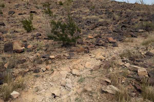
Heavenly Pass
Heavenly Pass is one of the more difficult dirt bike trails in the Laguna Hills due to it being a very steep and loose, rocky climb that is a test of traction. From the west end, it’s a narrow single track that climbs up from the intersection with West Side, going almost straight up a hillside to re...
Learn more about Heavenly Pass
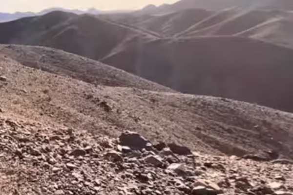
Mark's Gap
This is a two-track trail that skirts the foothills of Yuma, AZ, and has steep climbs, traverses ridge lines, and offers the most scenic route around the foothills of Yuma into Dome Valley, which allows you to link up with a network of trails onward to Wellton, AZ. This two-track trail ventures alo...
Learn more about Mark's Gap
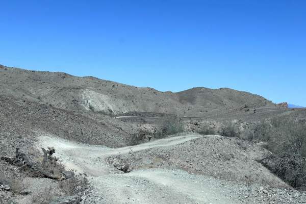
LCR1827
LCR 1827 is a 4.1 mile out and back trail that starts off the Laguna Ridge trail and ends at Gila Gravity Main Canal. This is a great side trip to have lunch at the Gila Gravity Main Canal. The trail starts on the ridge line and quickly drops down into a wash. This trail has erosion damage up to 12 ...
Learn more about LCR1827
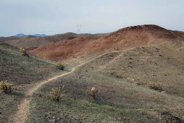
1835
This is a fun dirt bike trail in the Laguna Hills that mostly rides on a skinny ridge line or side-hills below the hilltops of these rugged rolling desert hills. The trail is very narrow, sometimes with a steep slope on either side of you down the mountainside. There are lots of small loose rocks in...
Learn more about 1835
ATV trails near Buckshot, Arizona
Explore ATV-friendly trails near you. These trails are accessible for vehicles up to 50 inches wide, perfect for ATVs and smaller off-road machines.
Laguna Ridge (AZPT)
Laguna Ridge (AZPT) is a challenging 14.2-mile point-to-point offroad trail through the scenic Laguna Hills offering stunning desert vistas and technical ridgeline driving. As a notable segment of the massive Arizona Peace Trail network, this route features dramatic elevation changes, starting at ap...
Learn more about Laguna Ridge (AZPT)
AZ Peace Trail The Fields To The Abandoned Bus Stop
This easy section of the Arizona Peace Trail is a unique sight along the route. It starts in the fields and canals and crosses the highway as it cuts through the large concrete and gravel plant. Once there, you drive between a large irrigation canal and the active train tracks. This route offers sup...
Learn more about AZ Peace Trail The Fields To The Abandoned Bus Stop
Laguna Hills Rollercoaster
This 11.2-mile trail takes you into the Laguna Mountain range north of Yuma. This area is very popular for Jeeps and SxSs. Many different trails take you up and down the different draws and spurs of this mountain range. This trail has several steep climbs/descents. There is a section on the east end...
Learn more about Laguna Hills Rollercoaster
Ryan's Trail
Ryan's Trail is a 2.2 mile point to point trail within the Laguna Hills area. This trail turns off of the Laguna Ridge Trail and drops down into a wash crosses the Laguna Ridge trail and then connects to LCR1827. There are several memorials placed along this trail, Including the memorial for Ryan.
Learn more about Ryan's Trail
UTV/side-by-side trails near Buckshot, Arizona
Find UTV and side-by-side trails near you. These trails accommodate vehicles up to 60 inches wide, ideal for UTVs, side-by-sides, and wider off-road rigs.
Laguna Ridge (AZPT)
Laguna Ridge (AZPT) is a challenging 14.2-mile point-to-point offroad trail through the scenic Laguna Hills offering stunning desert vistas and technical ridgeline driving. As a notable segment of the massive Arizona Peace Trail network, this route features dramatic elevation changes, starting at ap...
Learn more about Laguna Ridge (AZPT)
AZ Peace Trail The Fields To The Abandoned Bus Stop
This easy section of the Arizona Peace Trail is a unique sight along the route. It starts in the fields and canals and crosses the highway as it cuts through the large concrete and gravel plant. Once there, you drive between a large irrigation canal and the active train tracks. This route offers sup...
Learn more about AZ Peace Trail The Fields To The Abandoned Bus Stop
Laguna Hills Rollercoaster
This 11.2-mile trail takes you into the Laguna Mountain range north of Yuma. This area is very popular for Jeeps and SxSs. Many different trails take you up and down the different draws and spurs of this mountain range. This trail has several steep climbs/descents. There is a section on the east end...
Learn more about Laguna Hills Rollercoaster
Ryan's Trail
Ryan's Trail is a 2.2 mile point to point trail within the Laguna Hills area. This trail turns off of the Laguna Ridge Trail and drops down into a wash crosses the Laguna Ridge trail and then connects to LCR1827. There are several memorials placed along this trail, Including the memorial for Ryan.
Learn more about Ryan's Trail
The onX Offroad Difference
onX Offroad combines trail photos, descriptions, difficulty ratings, width restrictions, seasonality, and more in a user-friendly interface. Available on all devices, with offline access and full compatibility with CarPlay and Android Auto. Discover what you're missing today!
Open Trail Map