Trail Overview
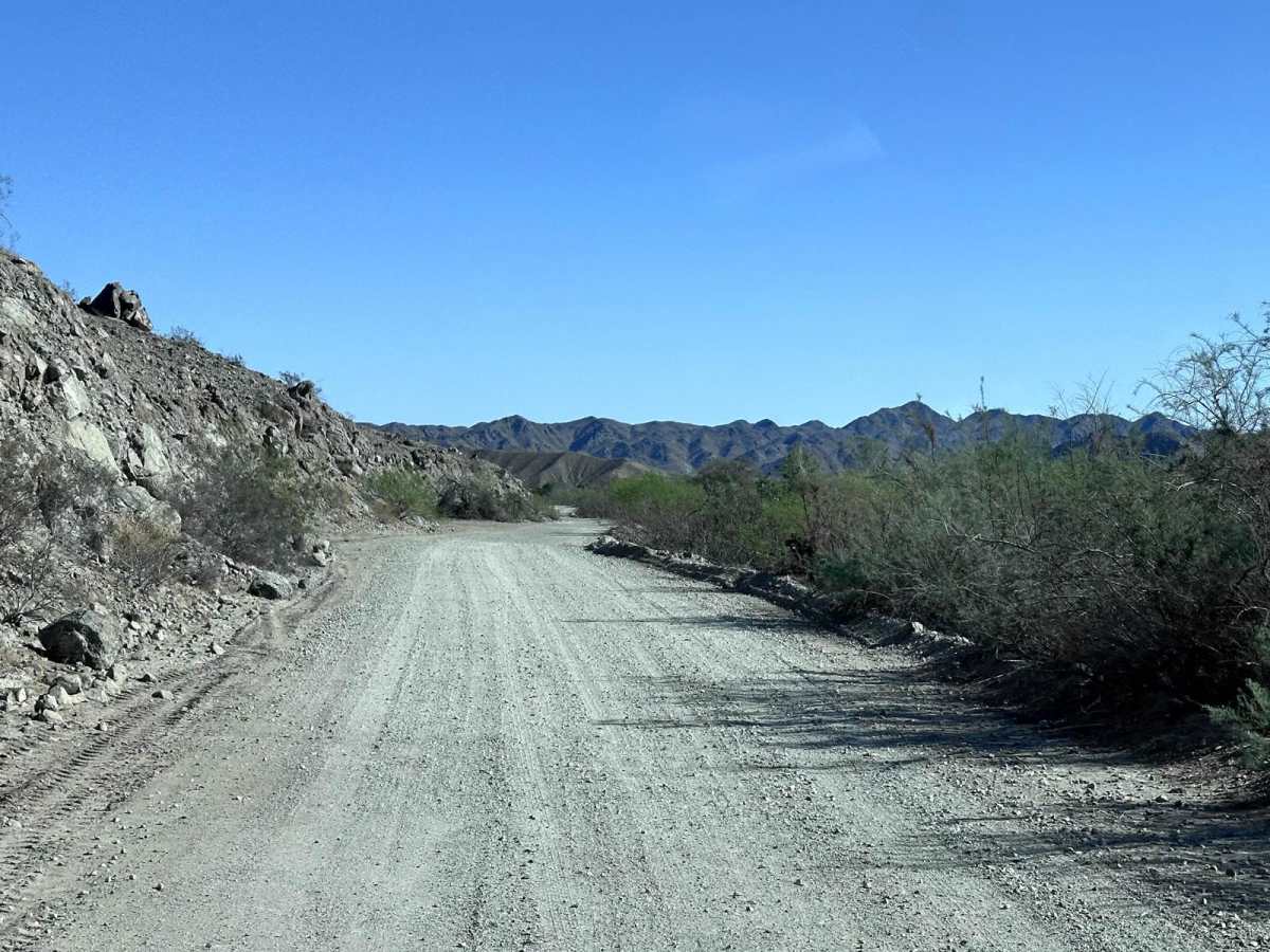
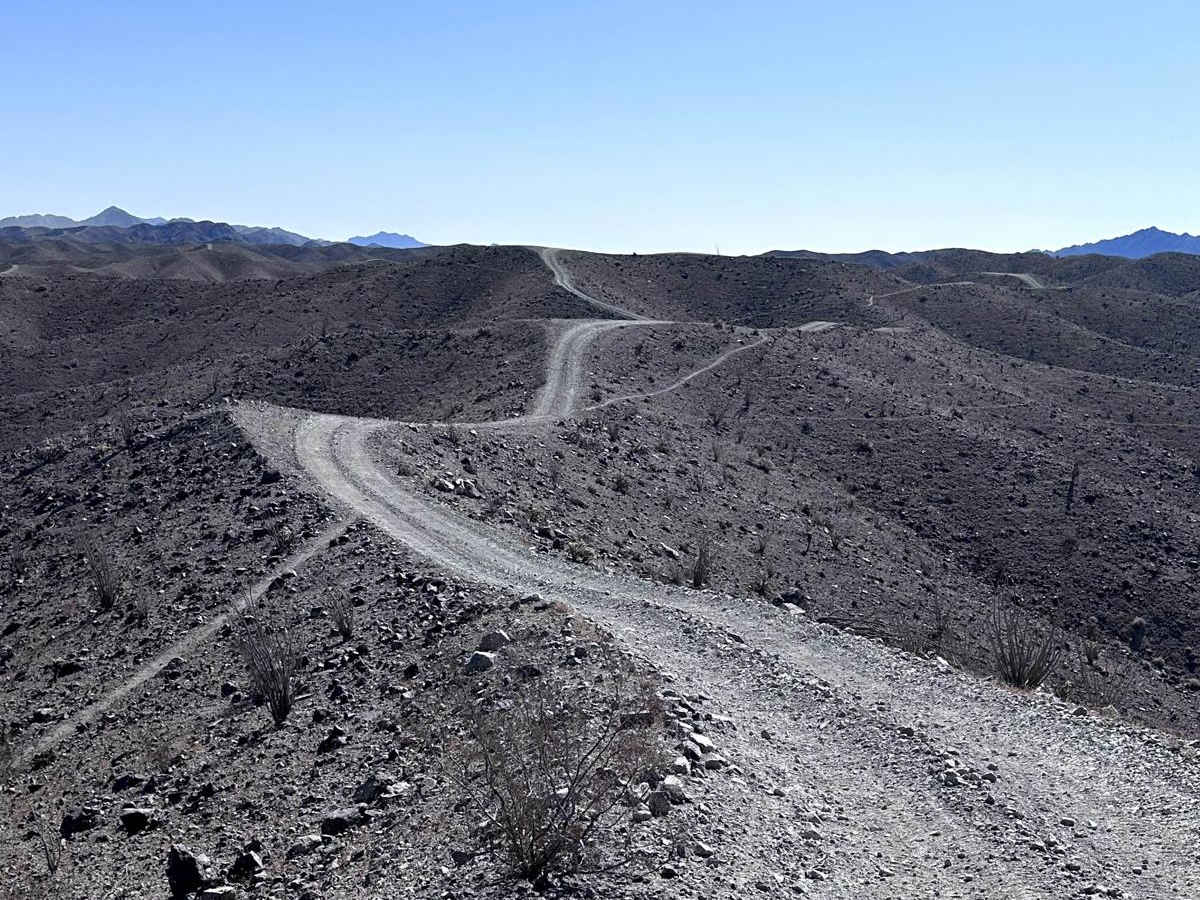
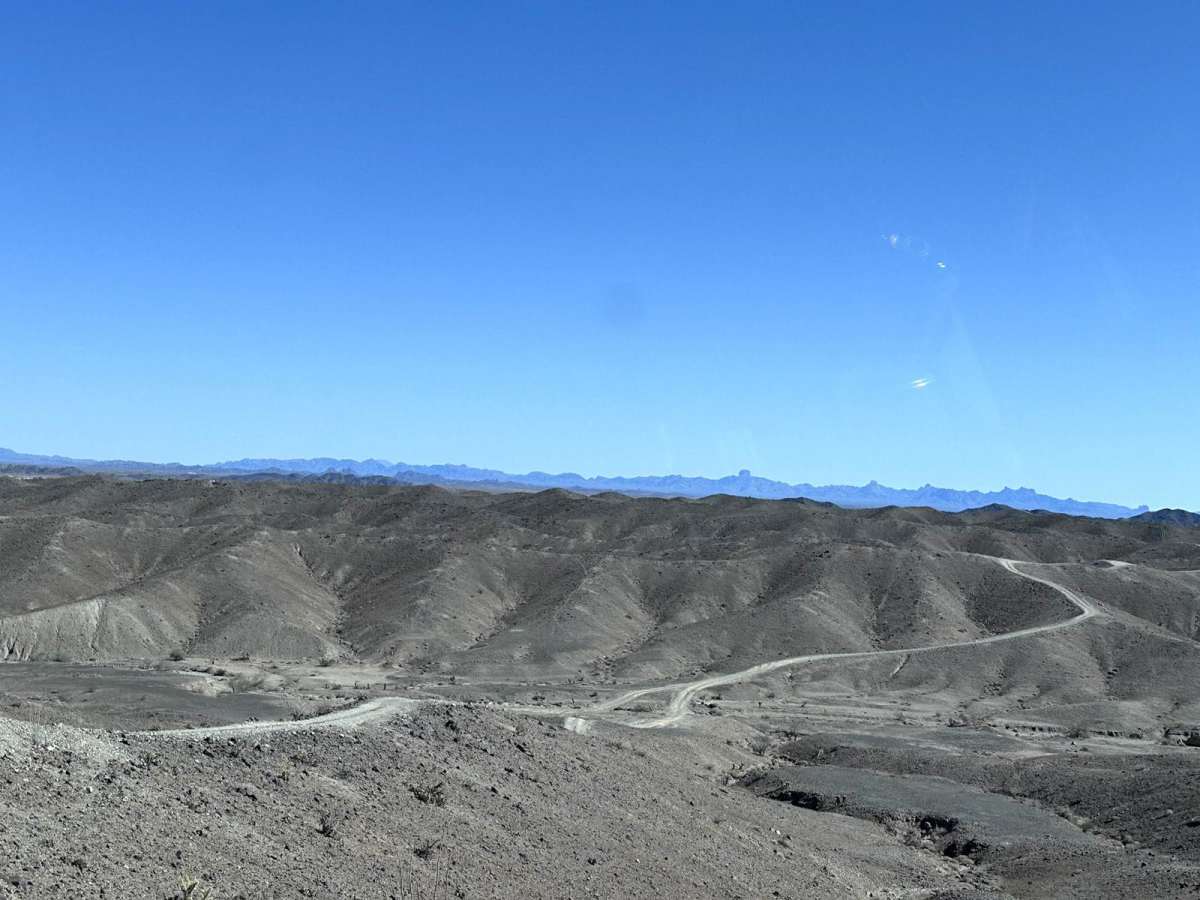
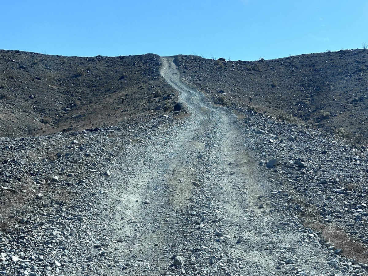
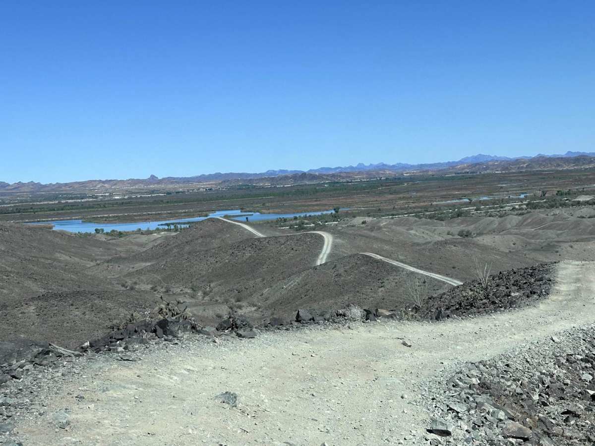
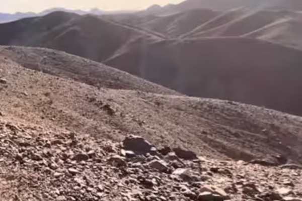
Laguna Ridge (AZPT) is a challenging 14.2-mile point-to-point offroad trail through the scenic Laguna Hills offering stunning desert vistas and technical ridgeline driving. As a notable segment of the massive Arizona Peace Trail network, this route features dramatic elevation changes, starting at approximately 163 feet and reaching a peak of 693 feet with over 1,800 feet of cumulative elevation gain. The trail traverses a narrow, rugged ridgeline that demands constant focus due to steep climbs and sharp descents. Drivers are rewarded with sweeping, panoramic views of the city of Yuma and the sprawling agricultural valleys below, making this one of the most scenic yet demanding stretches in the region.
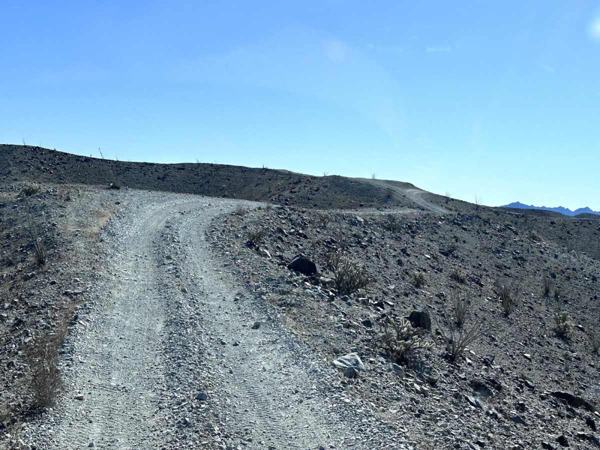
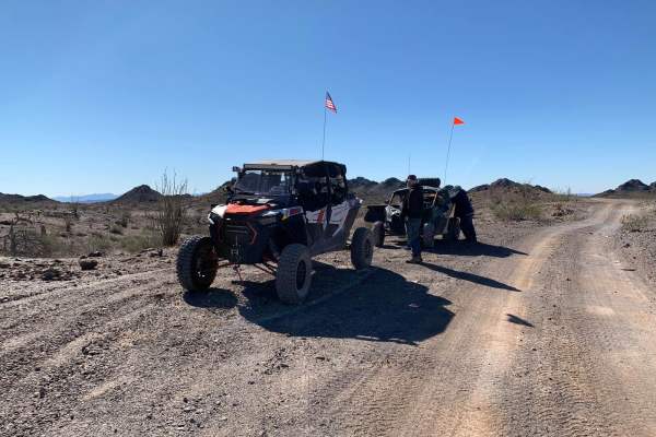
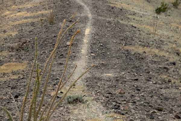
Rated a moderate 5 out of 10, the terrain consists primarily of loose rock and obstacles up to 18 inches in size, requiring high-clearance four-wheel-drive vehicles or capable OHVs. The single-track nature of the ridge offers extremely limited opportunities for passing oncoming traffic, meaning operators must actively watch the trail ahead and utilize caution. Multiple blind turns cresting steep hills require slow, controlled speeds to prevent drifting off the narrow route. Given the extreme desert heat and remote environment, the best seasons to tackle this trail are during the cooler months of fall, winter, and spring.
Difficulty
This section of the Arizona Peace Trail has long steep climbs on a narrow ridge trail with loose rocks. Rocks along this trail are up to 18 inches in height. There are many blind turns on the crest of a hill with a steep descent after cresting. Slow and cautious travel is recommended for this trail.
History
The Arizona Peace Trail has its beginning is 2013 when the Bureau of Land Management (BLM) and the Arizona Game and Fish Department (AZGFD) wanted to create a connector trail between Bullhead City, AZ and Yuma, AZ (a total of 210 miles). Also during this time frame the Arizona Sun Riders (ATV club in Quartzite, AZ) was working with La Paz County to create a loop trail around Quartzite. Additionally, the Bouse Ghost Riders (ATV club in Bouse, AZ) was also working with La Paz County to develop OHV trails around Bouse, AZ. When the Bouse Ghost Riders learned of the efforts of BLM and AZGFD, along with other projects by different Offroad groups, they took the opportunity to combine efforts for a single trail system. 14 different Off-road clubs joined efforts with Federal, State, County and local agencies to create the Arizona Peace Trail. A system of over 675+ miles of trails which is one of the largest loop trail system in the United States. https://arizonapeacetrail.org/

 Offroad