
Dirt Bike Trails
Near Buckhorn, Kentucky
Explore All Dirt Bike Trails Near Buckhorn, Kentucky
Dirt Bike Trails Near Buckhorn, Kentucky
Discover the best dirt bike trails near you. Browse trail maps, check difficulty ratings, and find your next adventure — whether you're looking for a quick ride or an all-day expedition.
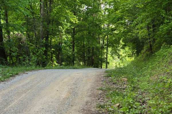
Newfound Road
Newfound Road is a nine-mile country gravel road that runs along the south fork of the Kentucky River. Most of the trail, you can find room for passing; however, there are some stretches that are very narrow, and passing is impossible. You won't find much more than shallow mud puddles along this tra...
Learn more about Newfound Road
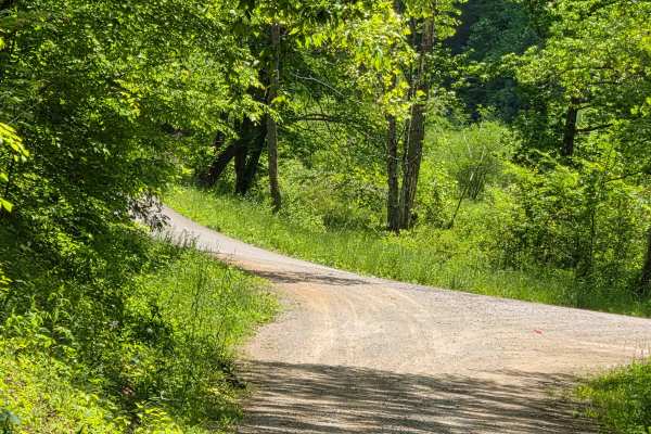
Slash Road
Slash road is a shelf road that follows along a pretty creek ride and is covered with a mature tree canopy. You can find multiple spots that allow for passing along this route. There isn't much to offer as obstacles on this road outside of a couple of shallow mudholes.
Learn more about Slash Road
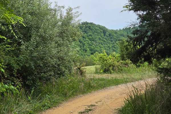
Jim Callahan Road
Jim Callahan Road is a four-mile run that takes you through farmlands as well as a nice scenic ridge top ride. You can expect loose dirt and gravel while ascending 400 feet in elevation. It is tight and narrow along the ridge top portion with little to no room for passing. The most technical part of...
Learn more about Jim Callahan Road

Betty Bowman
This trail runs along Betty Bowman Creek from east to west. It offers multiple creek crossings and ledges to traverse along the way. You will also encounter multiple waterfalls during the wet seasons. The operator will also experience rutted and off-camber spots. This trail leads you past a couple o...
Learn more about Betty Bowman
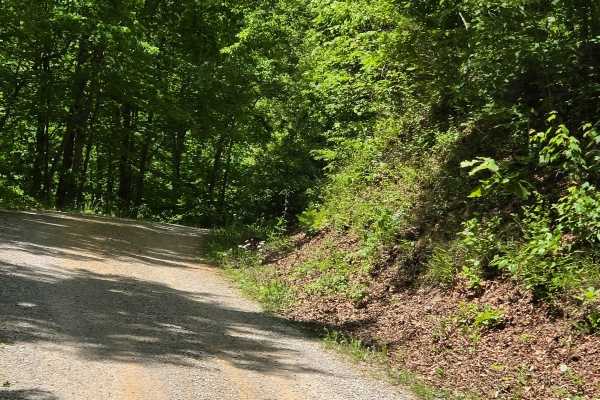
Felty Road
Felty Road is another shelf road with some narrow spots along the way. This was once used as a rail bed, but is now used as a county road that is made up of loose gravel and some dirt spots. You can expect washouts and steep ledges along your way, making passing impossible in areas.
Learn more about Felty Road
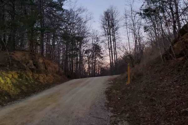
Wagoners Branch Road
This is a semi-maintained county road that takes you along a nice creek ride. In some areas, you may encounter natural and loose terrain. There is plenty of space to pass along this route as well. There are a couple of washouts that may require some extra caution when crossing. Very pretty ride
Learn more about Wagoners Branch Road
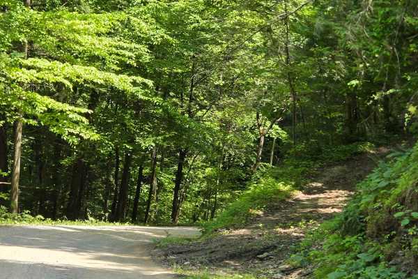
Saddler Road
Saddler Road is a forest service road that runs through the Daniel Boone National Forest. This track is narrow in most spots with steep drops off one side or the other, and tall rock walls along the other, making passing impossible. You can expect washouts and ruts along this track as well.
Learn more about Saddler Road
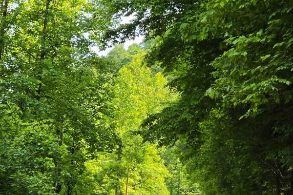
Stone Gap Road
Stone Gap Road is a graveled county road that runs through the Daniel Boone National Forest. There isn't anything on this route as far as obstacles. You will find shallow ruts and mud holes less than six inches deep. It follows along a dried-up creek bed that is fed when it rains.
Learn more about Stone Gap Road
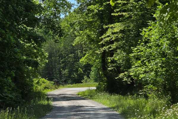
Cool Springs Road
Cool Springs Road is a gravel shelf road that is extremely narrow in spots. You can expect to encounter washouts and ruts along the way, but nothing that will cause many issues in navigation. You will also encounter steep inclines/declines with loose gravel. This is a pretty creek ride through the D...
Learn more about Cool Springs Road
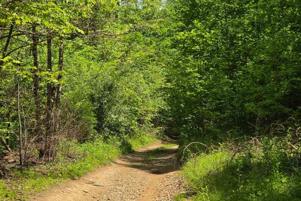
upper teges
This trail begins as a gravel county road that is fairly maintained. About halfway through it, it will suddenly change into natural terrain, offering steep climbs, Rock ledges, and deep ruts. The vegetation is overgrown, making for a tight trail. I would recommend no less than a 33-inch tire and 2 i...
Learn more about upper teges

Fish Creek
Fish Creek Road is a pretty scenic ride that follows along the south fork of the Kentucky River. It is primarily a maintained gravel road with little to no issues along the way. You may find washouts or ruts after heavy rains or snow. In most areas, you do have room for two vehicles to pass.
Learn more about Fish Creek
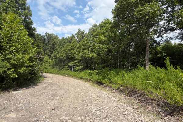
Little Buckhorn Creek Trail North
Little Buckhorn Creek Trail offers an exciting blend of scenic terrain and rugged off-road driving. Navigating through dirt paths, considerable large ruts, and aggressive elevation shifts, this route provides a manageable challenge. Ideal for a quick adventure, it features beautiful surrounding land...
Learn more about Little Buckhorn Creek Trail North
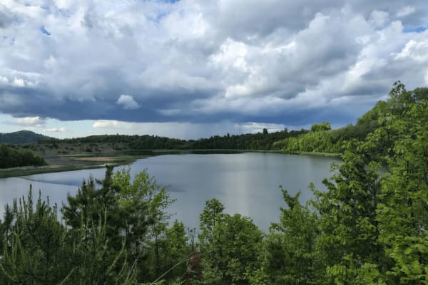
Four Seam Branch Pond
On this trail, you should expect some tight, slightly overgrown oil service trails. One of which wraps around a pond that is the centerpiece of this trail. This trail also offers multiple spots for camping possibilities. There aren't really any extremely hard obstacles, just a very scenic breath of ...
Learn more about Four Seam Branch Pond
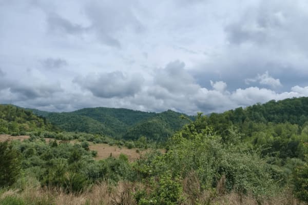
Four Seam Mountain
Four Seam Mountain is a very scenic off-grid trail that takes you up on a ridge on the outskirts of Hazard, Kentucky. On this trail, you have the opportunity to see wildlife of all kinds. Elk, bear, turkeys, and deer. This is a scenic but very testing to some. You will experience some off-camber obs...
Learn more about Four Seam Mountain
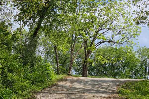
Pierson Road
This is a scenic gravel drive through some of Owsley County's small farm lands. This trail is maintained for the most part, but it does have some small mudholes along the way, which is nothing that causes any issues. This is a connector road from Highway 399 to Marcum Ridge Road.
Learn more about Pierson Road
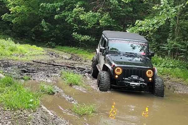
Four Seam Ridge
This is an old oil pipeline service road that is very muddy and overgrown in vegetarian but is frequently run by locals. If you're looking for a muddy trail, this is the one for you. Mud holes 12-20inches deep in the summer months, could be a lot deeper in wetter months. Great scenic trail by all me...
Learn more about Four Seam Ridge
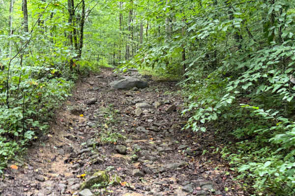
Little Buckhorn Waterfall Trail
This scenic woodland trail winds through a lush forest corridor, following a clear, rocky creek beneath a vibrant canopy of hardwoods and evergreens. Trail riders encounter a gentle waterfall, sandstone ledges, stream crossings, and rugged terrain. Rich with natural beauty and peaceful sounds, the t...
Learn more about Little Buckhorn Waterfall Trail
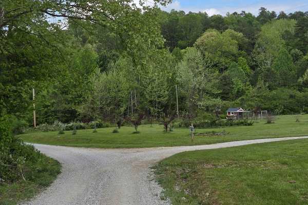
Little Sturgeon
easy gravel drive along a scenic little sturgeon creek. you will run along this peaceful flowing creek that offers cascades and smaller waterfalls. This trail connects you to the Appalachian Overland Triangle, which is Home Base for Backroads off Appalachia off roading events, as well as other trail...
Learn more about Little Sturgeon
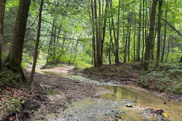
Little Buckhorn Creek Trail
Beginning at Trail 7 and ending at Clemons Fork, this scenic creek-bottom trail winds through dense forest, crossing shallow streams and rocky waterways. Known for its challenging quicksand pits, the route tests riders' skills while offering beautiful Appalachian scenery, small waterfalls, and remot...
Learn more about Little Buckhorn Creek Trail
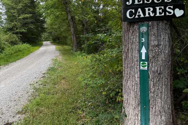
JC Trail 3
This is an easy gravel road with some small mud holes, a rocky creek crossing, and some small rocky hills. It's a very good beginner trail that connects some of the trails to the main highway, KY 30. It will take you through beautiful farmland and pretty creeks.
Learn more about JC Trail 3
ATV trails near Buckhorn, Kentucky
Explore ATV-friendly trails near you. These trails are accessible for vehicles up to 50 inches wide, perfect for ATVs and smaller off-road machines.
Newfound Road
Newfound Road is a nine-mile country gravel road that runs along the south fork of the Kentucky River. Most of the trail, you can find room for passing; however, there are some stretches that are very narrow, and passing is impossible. You won't find much more than shallow mud puddles along this tra...
Learn more about Newfound Road
Slash Road
Slash road is a shelf road that follows along a pretty creek ride and is covered with a mature tree canopy. You can find multiple spots that allow for passing along this route. There isn't much to offer as obstacles on this road outside of a couple of shallow mudholes.
Learn more about Slash Road
Jim Callahan Road
Jim Callahan Road is a four-mile run that takes you through farmlands as well as a nice scenic ridge top ride. You can expect loose dirt and gravel while ascending 400 feet in elevation. It is tight and narrow along the ridge top portion with little to no room for passing. The most technical part of...
Learn more about Jim Callahan Road
Betty Bowman
This trail runs along Betty Bowman Creek from east to west. It offers multiple creek crossings and ledges to traverse along the way. You will also encounter multiple waterfalls during the wet seasons. The operator will also experience rutted and off-camber spots. This trail leads you past a couple o...
Learn more about Betty Bowman
UTV/side-by-side trails near Buckhorn, Kentucky
Find UTV and side-by-side trails near you. These trails accommodate vehicles up to 60 inches wide, ideal for UTVs, side-by-sides, and wider off-road rigs.
Newfound Road
Newfound Road is a nine-mile country gravel road that runs along the south fork of the Kentucky River. Most of the trail, you can find room for passing; however, there are some stretches that are very narrow, and passing is impossible. You won't find much more than shallow mud puddles along this tra...
Learn more about Newfound Road
Slash Road
Slash road is a shelf road that follows along a pretty creek ride and is covered with a mature tree canopy. You can find multiple spots that allow for passing along this route. There isn't much to offer as obstacles on this road outside of a couple of shallow mudholes.
Learn more about Slash Road
Jim Callahan Road
Jim Callahan Road is a four-mile run that takes you through farmlands as well as a nice scenic ridge top ride. You can expect loose dirt and gravel while ascending 400 feet in elevation. It is tight and narrow along the ridge top portion with little to no room for passing. The most technical part of...
Learn more about Jim Callahan Road
Betty Bowman
This trail runs along Betty Bowman Creek from east to west. It offers multiple creek crossings and ledges to traverse along the way. You will also encounter multiple waterfalls during the wet seasons. The operator will also experience rutted and off-camber spots. This trail leads you past a couple o...
Learn more about Betty Bowman
The onX Offroad Difference
onX Offroad combines trail photos, descriptions, difficulty ratings, width restrictions, seasonality, and more in a user-friendly interface. Available on all devices, with offline access and full compatibility with CarPlay and Android Auto. Discover what you're missing today!
Open Trail Map