
Dirt Bike Trails
Near Baker City, Oregon
Explore All Dirt Bike Trails Near Baker City, Oregon
Dirt Bike Trails Near Baker City, Oregon
Discover the best dirt bike trails near you. Browse trail maps, check difficulty ratings, and find your next adventure — whether you're looking for a quick ride or an all-day expedition.
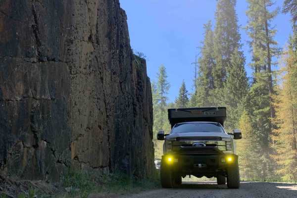
Marble Creek Pass to Sumpter
This scenic 7.9-mile point-to-point route from Sumpter to Marble Creek Pass is perfect for beginners, families, and offroaders seeking a relaxed, scenic drive through the dense evergreens of the Wallowa-Whitman National Forest. Starting in the historic gold-mining town of Sumpter at an elevation of ...
Learn more about Marble Creek Pass to Sumpter
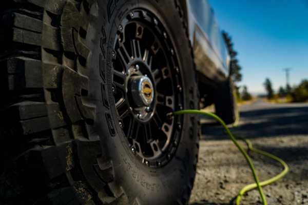
Marble Creek Pass
Marble Creek Pass is in the Elkhorn Mountain range west of Baker City in eastern Oregon. Marble Creek Road out of Baker City becomes forest road NF6510 (Marble Creek Pass Rd). It's approximately 9 miles to the top of the ridge in the Elkhorns, with an elevation of 7,542 feet. In early spring throug...
Learn more about Marble Creek Pass
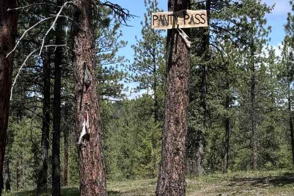
Panty Pass
Panty Pass is a great morning adventure ride near Sumpter. The route includes some steep, rocky climbs, Forest Service roads, and travel through the forest. Views include Greenhorn, Phillips Lake, and surrounding areas of Sumpter. The terrain requires 4x4 and high-clearance vehicles. This ride would...
Learn more about Panty Pass
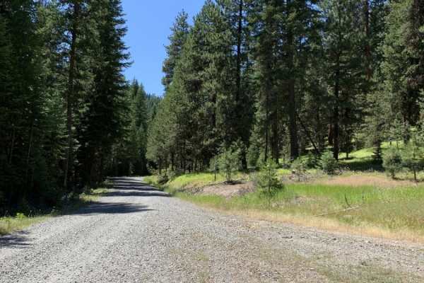
Cub Creek
Cub Creek is a scenic, multi-use route perfect for offroaders of all skill levels, offering a well-maintained connection between the historic mining town of Sumpter and the scenic North Fork of the Burnt River. Ideal for ATVs, SxSs, and dirt bikes during the warmer months, this route features a prim...
Learn more about Cub Creek
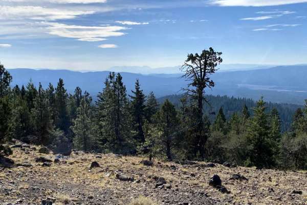
Karls Loop
This is an off-trail loop that connects back to Sawmill. It has some technical climbs that do require skilled navigation, high power, and good traction. This climb gives the opportunity to look into Sumpter Valley. Technical sections included riding in and around trees, over rocks, stumps, and other...
Learn more about Karls Loop
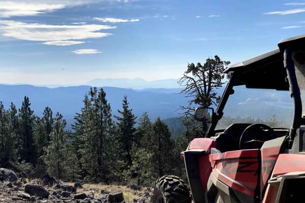
Karls Beer Run
The is a connecting loop to many areas around blue springs and greenhorn. It is an adventure for both new and skilled riders. There are views into Whitney valley and Sumpter Valley. There are lots of opportunities for on and off-trail riding. There are some steep climbs and easy travel on Forest Ser...
Learn more about Karls Beer Run
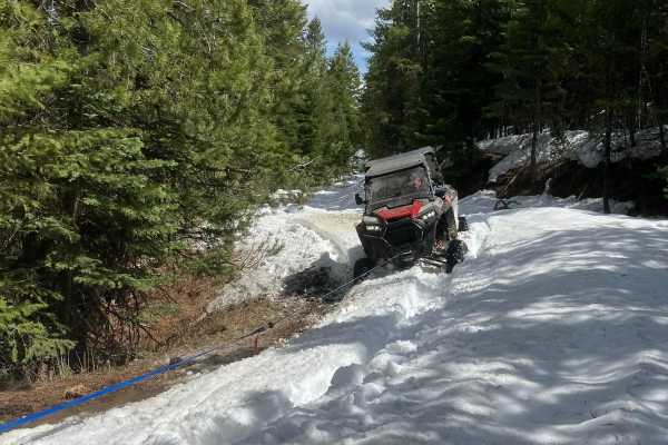
Railbed Riot
The railbed riot is a scenic UTV trail that winds through rugged forest service roads, alpine meadows, and dense pine forests. This approximately 20-mile trail provides riders with breathtaking mountain views, opportunities to spot big game, and a mix of terrain perfect for beginner to intermediate ...
Learn more about Railbed Riot
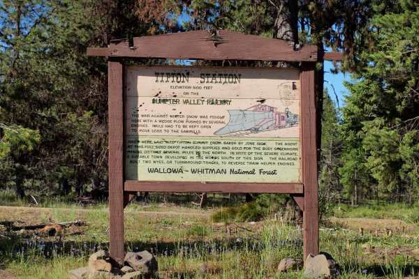
Tipton to South Fork
Tipton to South Fork is an outstanding forest-road route perfect for SxSs, ATVs, dirt bikes, and high-clearance four-wheel-drive vehicles looking to explore the scenic heart of the Blue Mountains. This trail winds along established Forest Service roads, offering spectacular, wide-open views into the...
Learn more about Tipton to South Fork
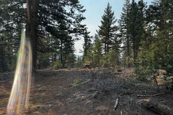
Elk Mountain Loop
Ladd Canyon Sno-Park Trail. This mountain trail begins at the Sno-Park in Ladd Canyon and mostly follows Forest Service roads, making it an easy and accessible route. It’s perfect for a day trip—whether you’re heading out with a large group or going solo to enjoy the peace and quiet. Along the way, ...
Learn more about Elk Mountain Loop
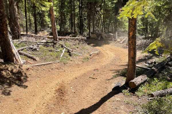
Blue Mountains Trail 1972
Dirt Bike and ATV trail through the mountains with great views, twists, turns and lots of challenges. This area seems to get used by Side by Sides on the gravel roads and the ATV trails are hardly used and are in great shape. We love this area for it's views, seclusion and great weather.
Learn more about Blue Mountains Trail 1972
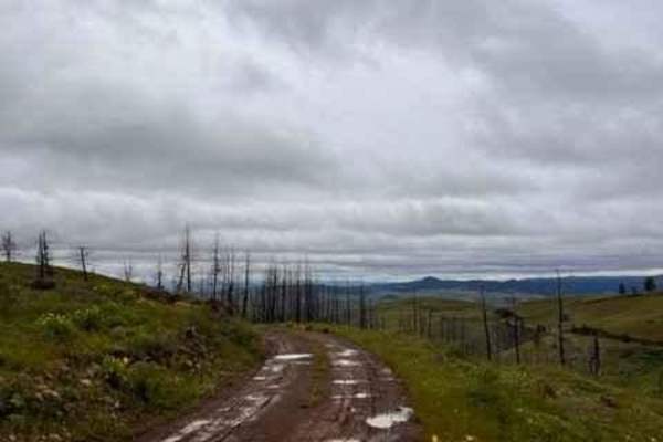
Eagle Creek Vista
The majority of this trail climbs up a gravel road from Highway 86. There is only a small section when turning off of Eagle Creek Road where the road gets rougher and would most likely not be suitable for lower passenger vehicles. Once you're around the bend at the top, you a welcomed by amazing 360...
Learn more about Eagle Creek Vista
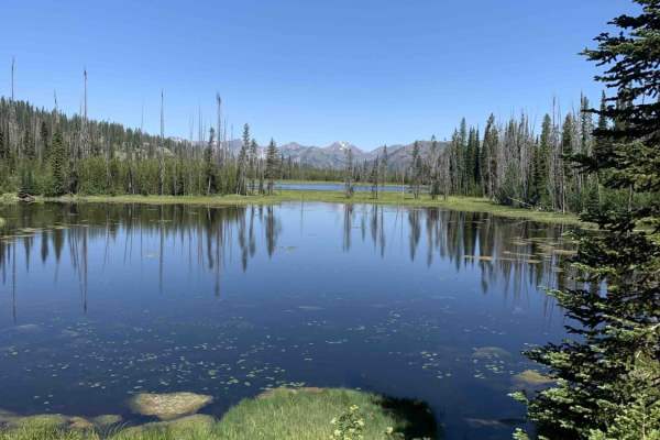
Fish Lake - Twin Lakes
This route takes you to a couple of beautiful small lakes while providing incredible views of the Whitman National Forest. Overall the route is very easy and straight forward, but there is a section that can be a little tight to navigate in larger vehicles. If the brush is too tight or the road is b...
Learn more about Fish Lake - Twin Lakes
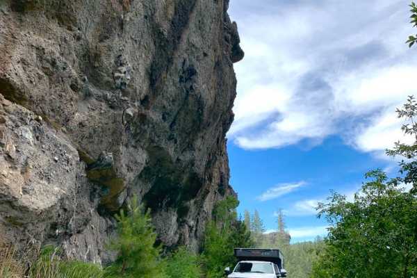
MRS RD 4550000
MRS RD 4550000, also known as Forest Service Road 4550, is a scenic 14.1-mile point-to-point route in the Malheur National Forest of Oregon, perfect for four-wheel-drive vehicles and SxSs looking for a mild mountain climb with excellent dispersed camping. Starting near the Middle Fork of the John Da...
Learn more about MRS RD 4550000
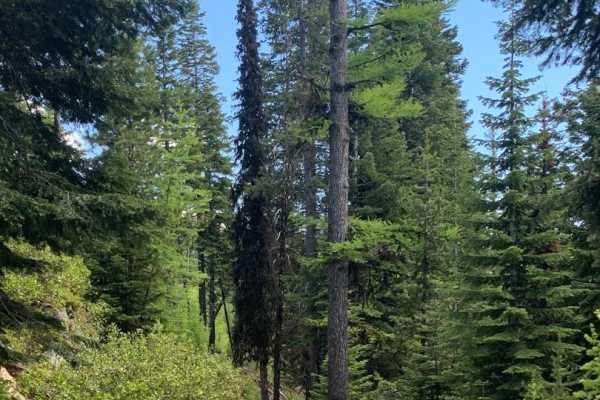
Jump Off Joe
This scenic nearly nineteen mile route climbs to an elevation of 6,436 feet above sea level. And, as you probably know that translates to incredible views. To the south a valley that cradles the middle fork of the John Day River. To the north lies the Umatilla National Forest and its 212,000 plus ac...
Learn more about Jump Off Joe
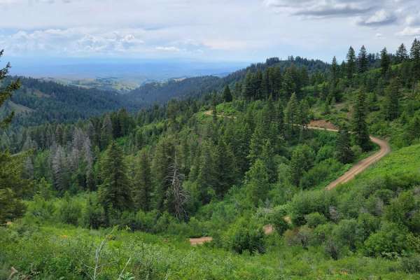
FR 306 - Iron Mountain Trail
This trail briefly parallels FR 025 before climbing up onto the mountain ridgeline. There are a handful of short steep climbs to navigate. The trail is narrow and full-size vehicles would undoubtedly brush vegetation. Erosion damage is present throughout, with an active section happening at the time...
Learn more about FR 306 - Iron Mountain Trail
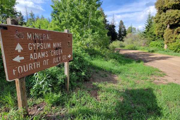
FR 024 - Fourth of July Creek
Fourth of July Creek Trail is the other half of a scenic mountain loop through the Payette National Forest. Plenty of off-shoot trails to explore and primitive camping spots throughout. This trail has more shelf sections (cut into the side of the hill) and offers beautiful views across the forest an...
Learn more about FR 024 - Fourth of July Creek
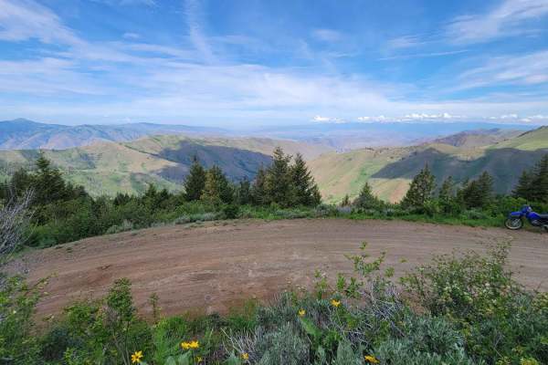
Sturgil Dennett
This loop connects the top of Bear Creek Saddleback to the main road (FR 025, Adams Creek). It involves three trails: FR 51651, 283, and 010. When this trial was mapped (early June) there were still snowdrifts across the trail, at the top towards Bear Saddle. They proved to be a challenge to cross. ...
Learn more about Sturgil Dennett
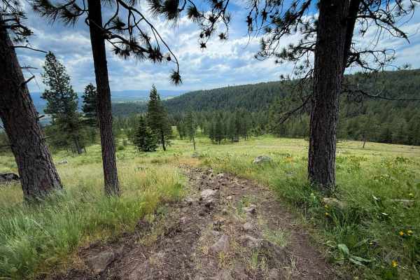
Blast Off - Trail 411
Blast Off is a fun SxS trail for vehicles 65 inches or less in the Mount Emily Recreation Area. It starts directly from the staging area and winds north into the hills for about 1.6 miles. The trail is primitive and overgrown in the beginning, with tall grass growing in the trail, which can obscure ...
Learn more about Blast Off - Trail 411
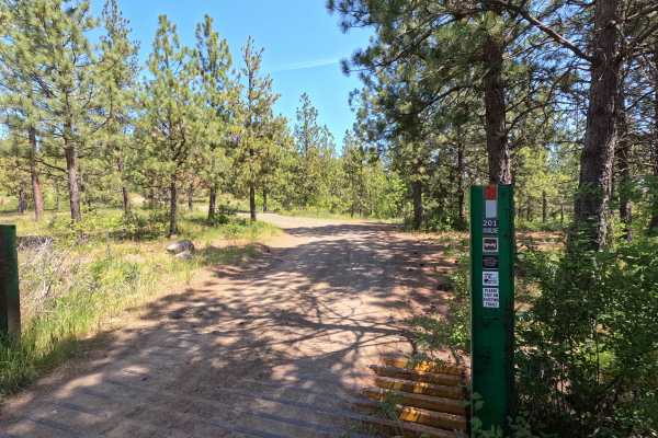
Mainline - Trail 201
Mainline is a 4.8-mile point-to-point trail that provides access to many other routes within the park. The trail can be moderately steep in places, with loose rock, embedded rock, and several heavily rutted sections throughout. Views of La Grande and the Wallowa Mountains open up in the upper portio...
Learn more about Mainline - Trail 201
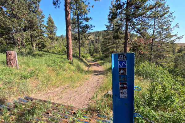
Fence Line - Trail 317
Fenceline is a 3.3-mile point-to-point single-track trail that climbs out of the Fox Hill campground area with several switchbacks. The trail is chunky in places, with large, loose rocks and a rootball obstacle that is the most difficult feature on the route, though it can still be rolled over with ...
Learn more about Fence Line - Trail 317
ATV trails near Baker City, Oregon
Explore ATV-friendly trails near you. These trails are accessible for vehicles up to 50 inches wide, perfect for ATVs and smaller off-road machines.
Marble Creek Pass to Sumpter
This scenic 7.9-mile point-to-point route from Sumpter to Marble Creek Pass is perfect for beginners, families, and offroaders seeking a relaxed, scenic drive through the dense evergreens of the Wallowa-Whitman National Forest. Starting in the historic gold-mining town of Sumpter at an elevation of ...
Learn more about Marble Creek Pass to Sumpter
Marble Creek Pass
Marble Creek Pass is in the Elkhorn Mountain range west of Baker City in eastern Oregon. Marble Creek Road out of Baker City becomes forest road NF6510 (Marble Creek Pass Rd). It's approximately 9 miles to the top of the ridge in the Elkhorns, with an elevation of 7,542 feet. In early spring throug...
Learn more about Marble Creek Pass
Panty Pass
Panty Pass is a great morning adventure ride near Sumpter. The route includes some steep, rocky climbs, Forest Service roads, and travel through the forest. Views include Greenhorn, Phillips Lake, and surrounding areas of Sumpter. The terrain requires 4x4 and high-clearance vehicles. This ride would...
Learn more about Panty Pass
Cub Creek
Cub Creek is a scenic, multi-use route perfect for offroaders of all skill levels, offering a well-maintained connection between the historic mining town of Sumpter and the scenic North Fork of the Burnt River. Ideal for ATVs, SxSs, and dirt bikes during the warmer months, this route features a prim...
Learn more about Cub Creek
UTV/side-by-side trails near Baker City, Oregon
Find UTV and side-by-side trails near you. These trails accommodate vehicles up to 60 inches wide, ideal for UTVs, side-by-sides, and wider off-road rigs.
Marble Creek Pass to Sumpter
This scenic 7.9-mile point-to-point route from Sumpter to Marble Creek Pass is perfect for beginners, families, and offroaders seeking a relaxed, scenic drive through the dense evergreens of the Wallowa-Whitman National Forest. Starting in the historic gold-mining town of Sumpter at an elevation of ...
Learn more about Marble Creek Pass to Sumpter
Panty Pass
Panty Pass is a great morning adventure ride near Sumpter. The route includes some steep, rocky climbs, Forest Service roads, and travel through the forest. Views include Greenhorn, Phillips Lake, and surrounding areas of Sumpter. The terrain requires 4x4 and high-clearance vehicles. This ride would...
Learn more about Panty Pass
Cub Creek
Cub Creek is a scenic, multi-use route perfect for offroaders of all skill levels, offering a well-maintained connection between the historic mining town of Sumpter and the scenic North Fork of the Burnt River. Ideal for ATVs, SxSs, and dirt bikes during the warmer months, this route features a prim...
Learn more about Cub Creek
Karls Loop
This is an off-trail loop that connects back to Sawmill. It has some technical climbs that do require skilled navigation, high power, and good traction. This climb gives the opportunity to look into Sumpter Valley. Technical sections included riding in and around trees, over rocks, stumps, and other...
Learn more about Karls Loop
The onX Offroad Difference
onX Offroad combines trail photos, descriptions, difficulty ratings, width restrictions, seasonality, and more in a user-friendly interface. Available on all devices, with offline access and full compatibility with CarPlay and Android Auto. Discover what you're missing today!
Open Trail Map