Trail Overview
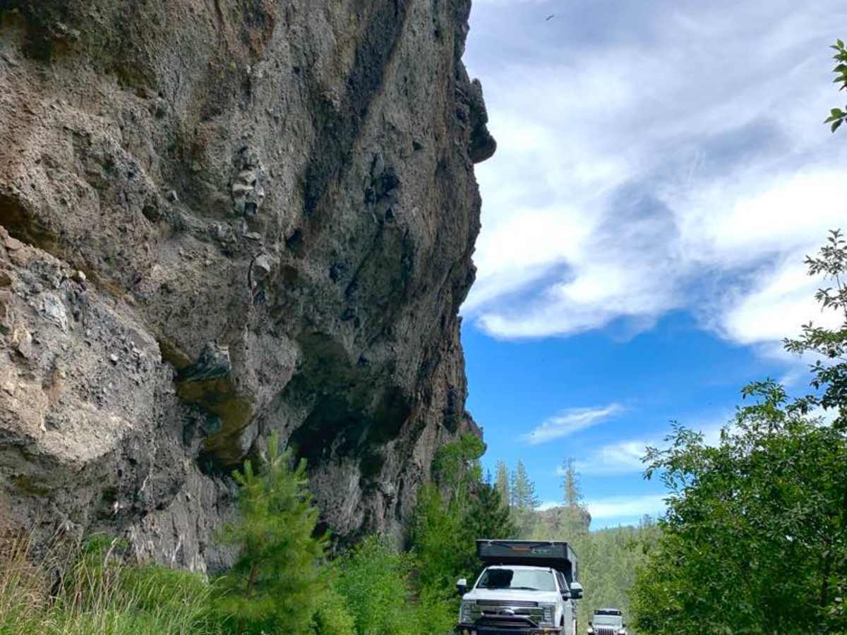
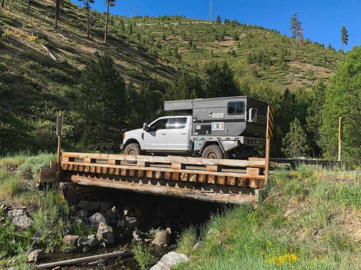
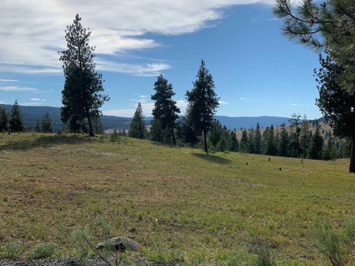
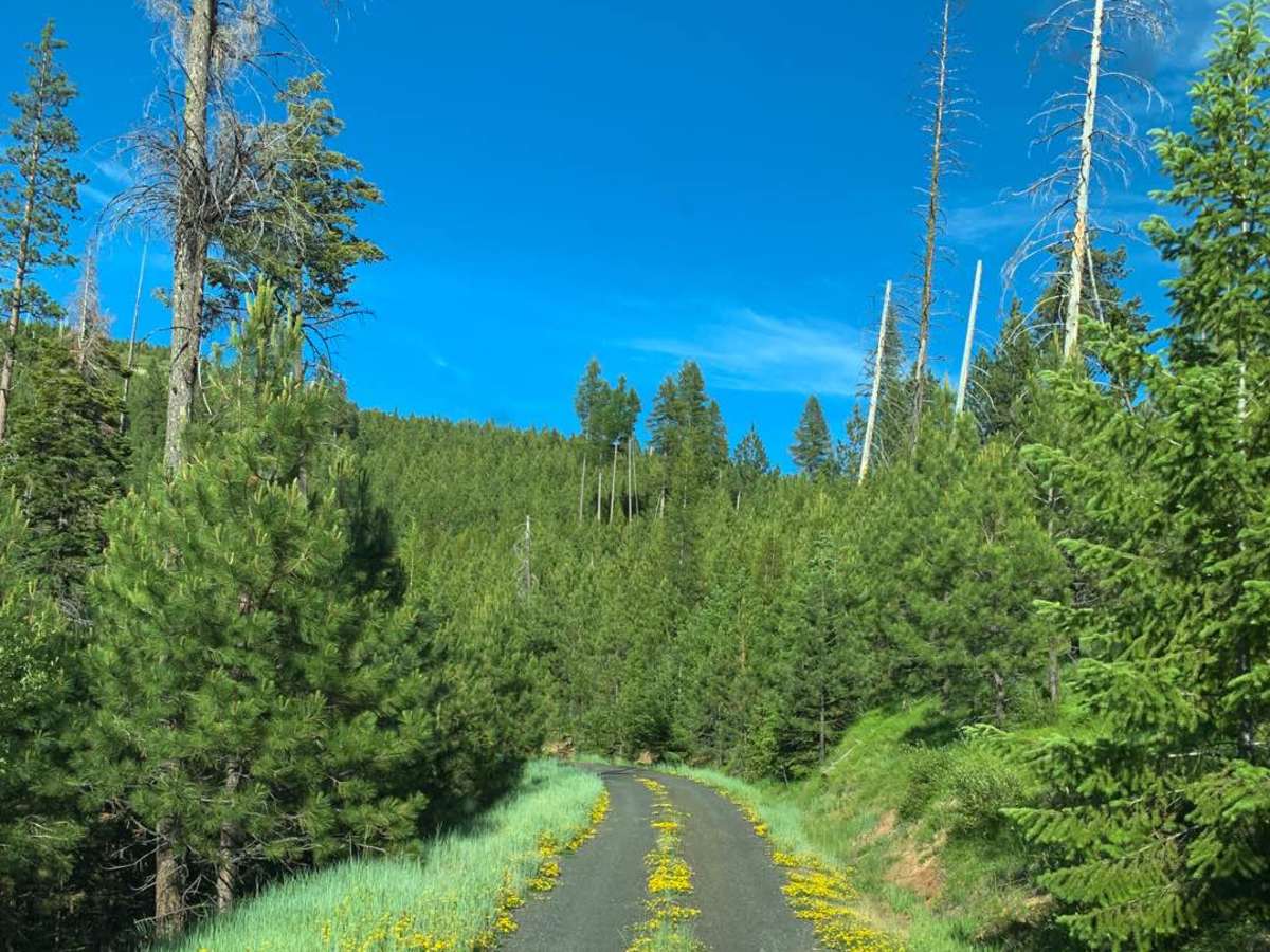
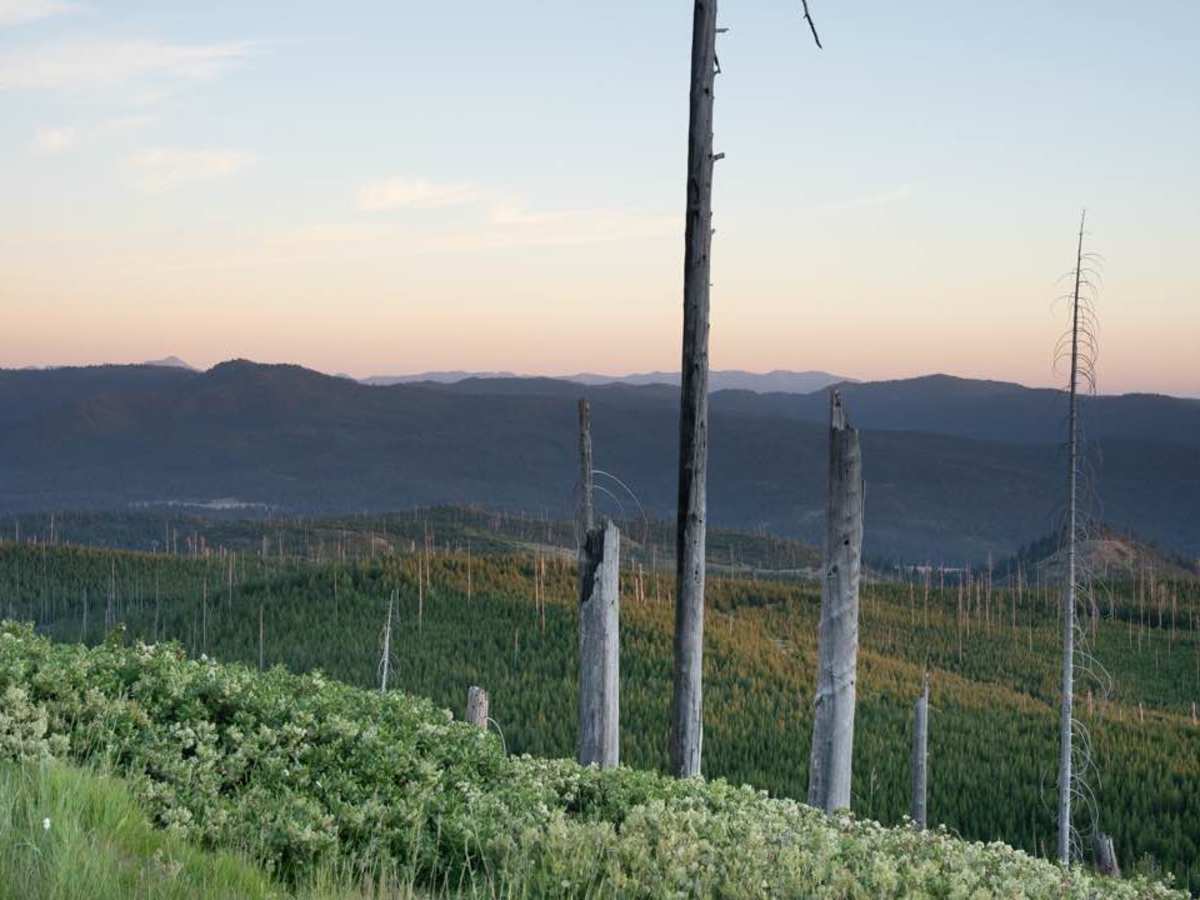
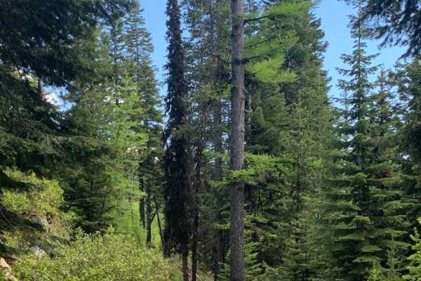
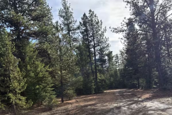
MRS RD 4550000, also known as Forest Service Road 4550, is a scenic 14.1-mile point-to-point route in the Malheur National Forest of Oregon, perfect for four-wheel-drive vehicles and SxSs looking for a mild mountain climb with excellent dispersed camping. Starting near the Middle Fork of the John Day River at an elevation of 3,757 feet, this trail winds northwest and climbs steadily to a maximum elevation of 5,260 feet. The initial sections of the unpaved road are well-established, passing through beautiful forested terrain and offering several wild camping spots frequently utilized by local hunters. As the route gains its 1,633 feet of elevation, the road gradually narrows and winds, transforming from a wider forest road into a more secluded backcountry track.
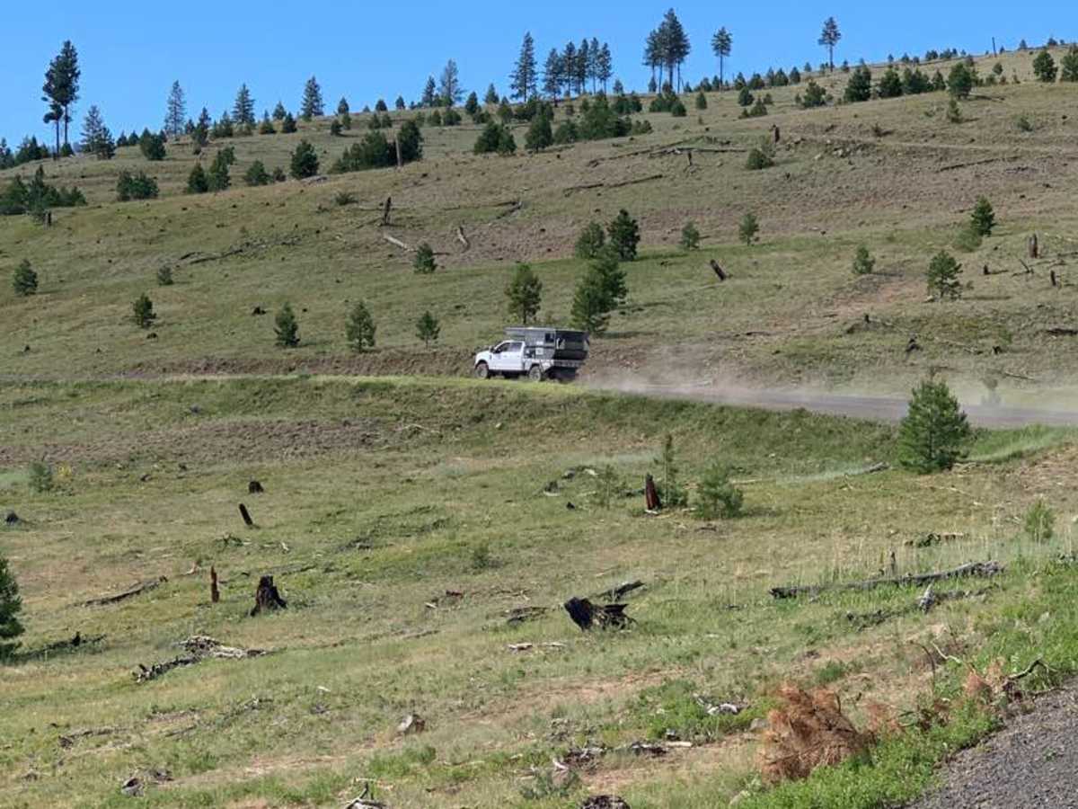
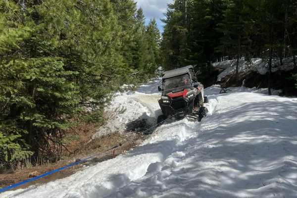
Toward the upper end of the climb, the route becomes a narrow two-track trail that is less frequently traveled than neighboring Forest Service corridors before eventually connecting with a well-maintained main road. Rated as a level 2 on the technical scale, the trail is generally straightforward and highly accessible, though weather conditions can significantly impact difficulty. Rain or spring snowmelt can create slick, muddy conditions and deep ruts, particularly at higher elevations, which may require four-wheel-drive and careful tire placement. Seasonality is a key factor, with late spring through autumn being the ideal times to traverse the route, as winter snows block access to the upper elevations.