Trail Overview
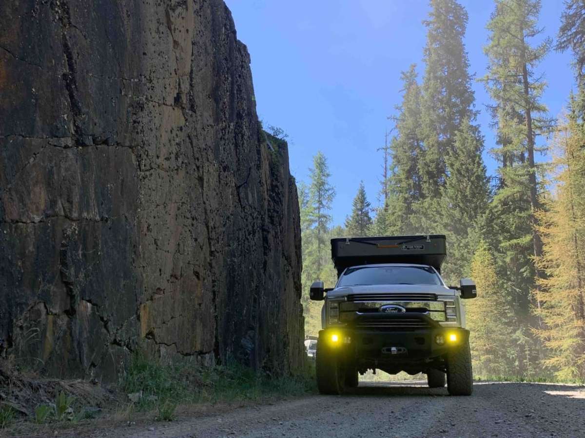
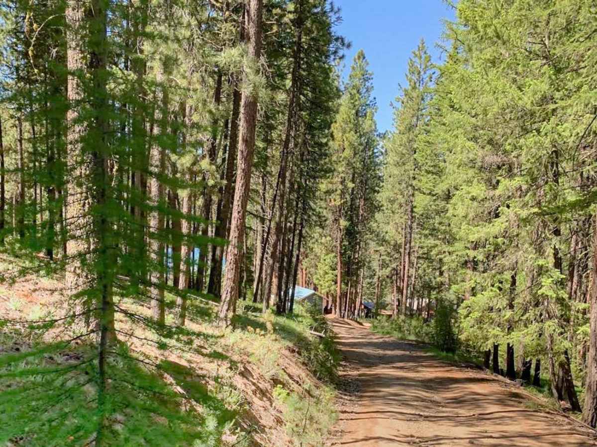
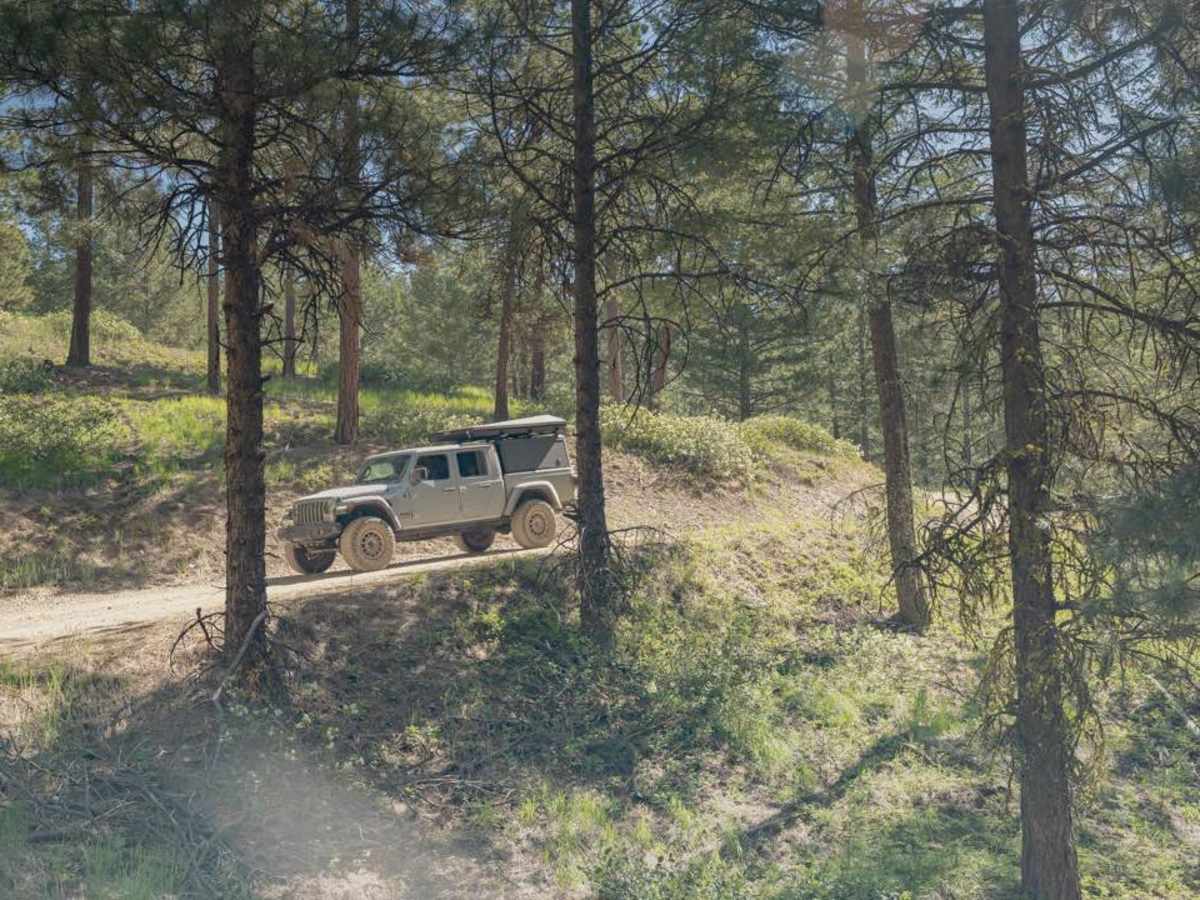
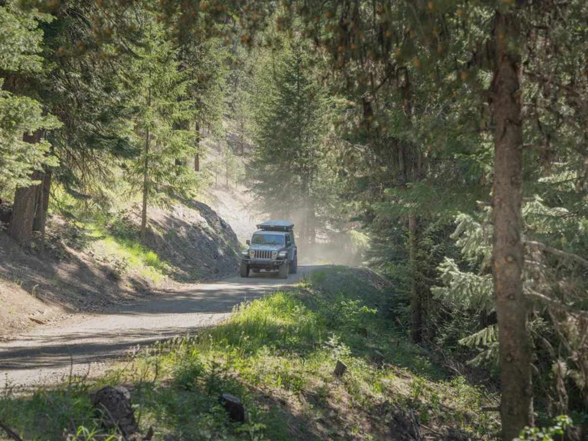
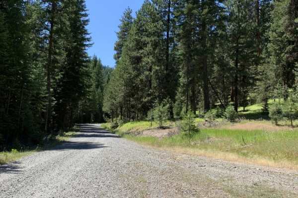
This scenic 7.9-mile point-to-point route from Sumpter to Marble Creek Pass is perfect for beginners, families, and offroaders seeking a relaxed, scenic drive through the dense evergreens of the Wallowa-Whitman National Forest. Starting in the historic gold-mining town of Sumpter at an elevation of 4,441 feet, the trail steadily climbs to a peak elevation of 5,187 feet, offering an approachable adventure with a mild technical rating of 2. While the forest service roads are well-maintained unpaved surfaces, the path can get quite narrow in sections, making it ideal for standard four-wheel-drive vehicles, SxSs, ATVs, and dirt bikes looking for a straightforward mountain pass traverse.
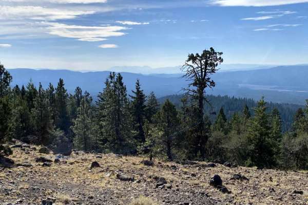
As you meander through the lush forest, you will frequently parallel a peaceful small creek and pass through scenic drainages like Wahoo Gulch and Rockne Gulch. Keep an eye out for occasional peek-a-boo views of the Sumpter Valley through the thick evergreen canopy, which opens up beautifully near the higher elevations of the pass. Because of its elevation and location in northeastern Oregon, the trail is best enjoyed from late spring through autumn, as heavy winter snows will block access. After completing the run, visitors can explore local history at the nearby Sumpter Valley Dredge State Heritage Area or connect to a vast network of other forest service roads in the area.
Access Description
The route is located within the Wallowa-Whitman National Forest. No permits or fees are required to drive the forest service roads, but vehicles must be street-legal or have appropriate off-highway vehicle (OHV) permits. Heavy winter snow typically closes the route from late November through May.

 Offroad