
Dirt Bike Trails
Near Baggs, Wyoming
Explore All Dirt Bike Trails Near Baggs, Wyoming
Dirt Bike Trails Near Baggs, Wyoming
Discover the best dirt bike trails near you. Browse trail maps, check difficulty ratings, and find your next adventure — whether you're looking for a quick ride or an all-day expedition.
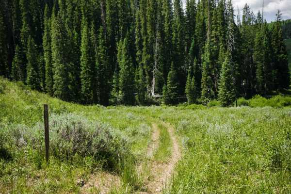
Nipple Peak ATV Trail
This is an easy 50-inch trail in the Hahn's Peak trail system north of Steamboat, Colorado. The trail has some loose sticks, small roots, and rocks as it goes through wide-open meadows and aspen trees. It's a two-track that is overgrown with tall grass in the middle, and mostly ridden by dirt bikers...
Learn more about Nipple Peak ATV Trail
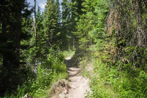
Nipple Peak
Nipple Peak is an intermediate 7-mile single track in the Routt National Forest north of Steamboat, Colorado that is full of beautiful meadows, shelfy sections, tight curves, rock sections, and big roots. The trail is really silty, making it rather dusty, especially on hot summer days. The trail goe...
Learn more about Nipple Peak
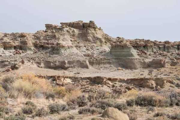
Adobe Town Basin
The trail (BLM 4412) starts as a flat dirt road departing County Road 19 before arriving at the Adobe Town rim and descending into the basin below. The rim provides a great overview of the rock formations while descending into the basin allows for up-close exploration of the varied rock formations ...
Learn more about Adobe Town Basin
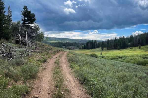
Pioneer
Pioneer is a two-mile-long ATV trail that descends west to east from the Elkhorn Trail to 550 Whisky Park Road, descending nearly 800 feet in elevation along the way. The trail is mostly fast and flowy, with smooth dirt, shallow ruts, and only occasional loose rock. Waterbars are present for erosion...
Learn more about Pioneer
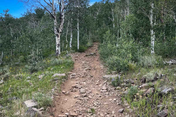
Elkhorn Trail North
Elkhorn Trail North is a moderately difficult ATV trail that offers a varied ride through forested terrain in the Routt National Forest. From its southern entrance, the trail descends on a semi-steep, sustained grade toward the Middle Fork of the Little Snake River, with loose small rock along the w...
Learn more about Elkhorn Trail North
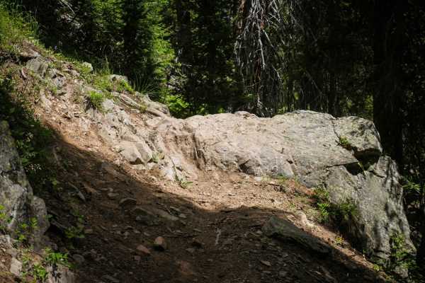
Whiskey Creek
Whiskey Creek is a 9-mile fun and challenging single track on the border of Wyoming and Colorado. Much of this narrow trail is very rocky. It has lots of rock ledges and root ledges with big boulders in the trail, and some really narrow sections of side-hilling. The trail is mostly flat and runs by ...
Learn more about Whiskey Creek

Sand Mountain
This is a loop that features an optional hike to the very top of Sand Mountain at 10,863 feet. It's worth the extra effort. You'll love the panoramic views. There are some nice spots to camp along the trail, but you may just want to stay at Steamboat Lake State Park. Be sure to make a reservation if...
Learn more about Sand Mountain
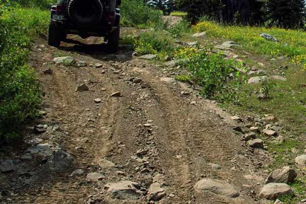
Elkhorn Mountain
If you're looking for solitude, enjoy this old cattle trail all the way up and over Elkhorn Mountain. There is an option to explore the old Elkhorn Mine, as well as places to camp at the start of the trail. The Forest Service may be rerouting this trail, so make sure to follow signs and stay on desi...
Learn more about Elkhorn Mountain
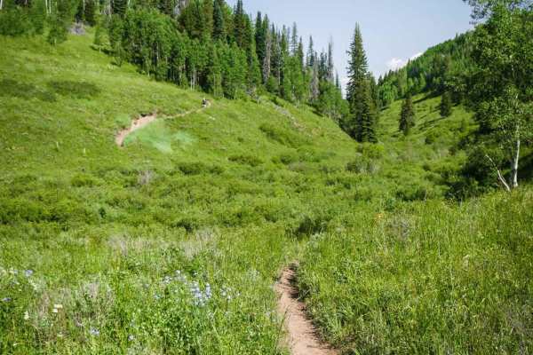
Independence Creek
Independence Creek is a fun 3.3-mile single track in the Hahn's Peak trail system north of Steamboat, Colorado. A lot of this trail is rocky and rooty, with small downhills (or climbs) in a shaded forest of pine and aspen trees. The rocks and roots create little shelf ledges that are not too difficu...
Learn more about Independence Creek

Hahn's Peak
Hahn's Peak Trail is a challenging yet rewarding single track that takes you 1,100 feet up to the top of Hahn's Peak where there is a fire lookout tower and 360-degree views of the whole mountain range and Steamboat Lake. The first part of the trail has some intermediate challenges such as embedded ...
Learn more about Hahn's Peak
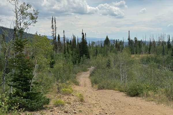
FS 411
This route offers a gradual climb through a beautiful mix of aspen and pine forests, with a few moderately steep sections and areas of loose rock along the way. Overall, it is a scenic and enjoyable trail that serves as an important transition route to several other trails that continue higher into ...
Learn more about FS 411
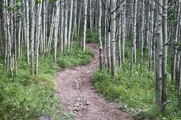
Elkhorn Trail South
Elkhorn Trail South is a moderately easy ATV trail that winds for several miles through Routt National Forest, offering a mix of flowy and rocky terrain. The eastern end begins in a meadow with a bridge crossing over a swampy grassy section, departing directly from a main camping area in Little Red ...
Learn more about Elkhorn Trail South

Little Mountain Road
Despite its short length, the trail delivers a remarkable amount of elevation gain in a surprisingly small distance. The route begins with several deep mud holes before transitioning into a steep climb toward the top of Little Mountain. The final ascent is the most challenging section, with an extre...
Learn more about Little Mountain Road
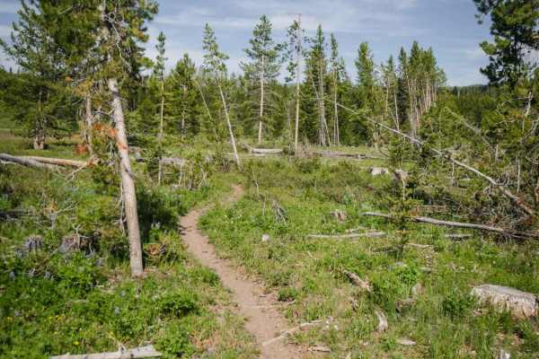
Kids Loop
The Kids Loop is a short and easy single track that starts and ends off of the Farwell Connector Trail, right near the Little Red Park camping area in the Hahn's Peak OHV area. The trail is perfect for kids learning to ride single-track. It's like a maze with lots of curves that double back a bunch ...
Learn more about Kids Loop

Upper Ways Gulch Road
This is a scenic, short transition trail that traverses the slopes of Anderson Mountain at approximately 8,000 feet, offering an easy and enjoyable drive through a beautiful high-country forest. While the route itself is generally straightforward, there is a significant amount of deadfall throughout...
Learn more about Upper Ways Gulch Road
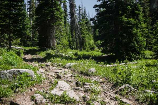
Ellis Trail North
This northern segment of the Ellis Trail is even rockier than the southern portion, with big boulders embedded in the trail, roots, and tons of loose small rocks on the surface of the trail. The southern end of the northern trail starts on the dirt road where Ellis Trail South ends, at a marked trai...
Learn more about Ellis Trail North
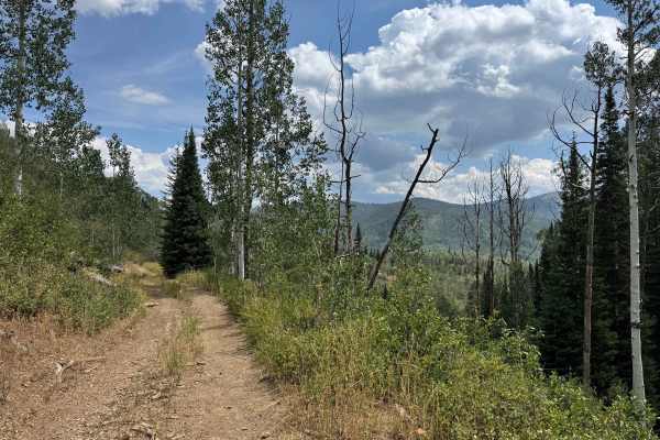
Blue Jay Mine Road
This scenic trail begins in the valley and gradually climbs through a beautiful mix of aspen and pine forests, alternating between cool, shaded sections and open shelf-road stretches with views of the surrounding landscape. The route provides a pleasant transition into the higher country, where seve...
Learn more about Blue Jay Mine Road
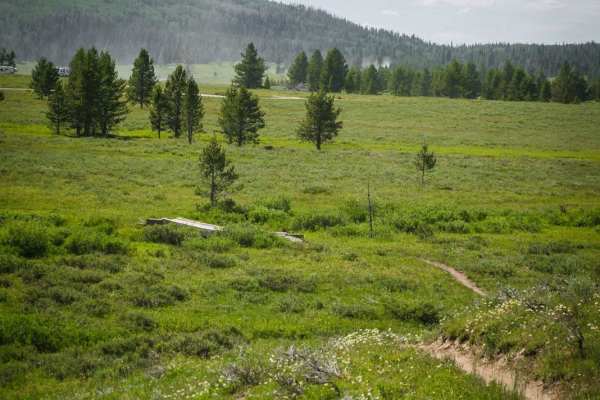
Farwell Connector
The Farwell Connector trail is a short and easy single track that starts right in the Little Red Park camping area in the Hahn's Peak OHV area. It meanders through sections of meadows and forest with easy curves with small roots in the trail. There are a couple of wooden bridges across marshy grass ...
Learn more about Farwell Connector
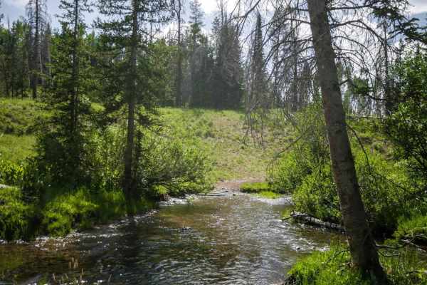
Farwell Mountain ATV Trail
The Farwell Mountain ATV trail is an easier ATV trail with lots of sticks and roots and gradual climbs and descents with tight curves. It goes through a pine tree forest through meadows and trees, with some small embedded rocks or loose rocks on the surface, but no big obstacles. There is a long but...
Learn more about Farwell Mountain ATV Trail
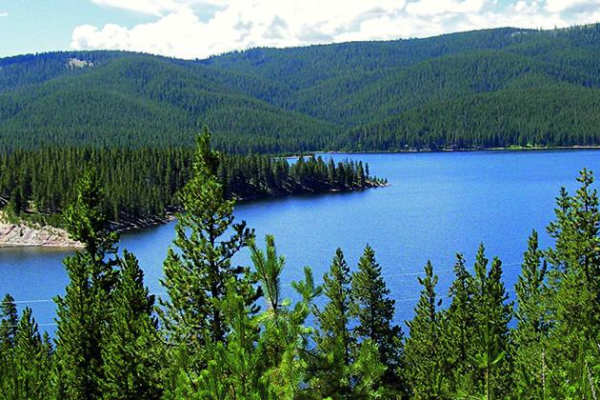
Ellis Jeep Trail
Ellis Jeep Trail starts out with some challenging climbs and descents through the forest until reaching a ridge. This is a relatively new trail that has been rerouted for mud, so make sure to stay on the designated route. It is a popular area for ATVs, UTVs, and dirt bikes with options to camp with ...
Learn more about Ellis Jeep Trail
ATV trails near Baggs, Wyoming
Explore ATV-friendly trails near you. These trails are accessible for vehicles up to 50 inches wide, perfect for ATVs and smaller off-road machines.
Nipple Peak ATV Trail
This is an easy 50-inch trail in the Hahn's Peak trail system north of Steamboat, Colorado. The trail has some loose sticks, small roots, and rocks as it goes through wide-open meadows and aspen trees. It's a two-track that is overgrown with tall grass in the middle, and mostly ridden by dirt bikers...
Learn more about Nipple Peak ATV Trail
Adobe Town Basin
The trail (BLM 4412) starts as a flat dirt road departing County Road 19 before arriving at the Adobe Town rim and descending into the basin below. The rim provides a great overview of the rock formations while descending into the basin allows for up-close exploration of the varied rock formations ...
Learn more about Adobe Town Basin
Pioneer
Pioneer is a two-mile-long ATV trail that descends west to east from the Elkhorn Trail to 550 Whisky Park Road, descending nearly 800 feet in elevation along the way. The trail is mostly fast and flowy, with smooth dirt, shallow ruts, and only occasional loose rock. Waterbars are present for erosion...
Learn more about Pioneer
Elkhorn Trail North
Elkhorn Trail North is a moderately difficult ATV trail that offers a varied ride through forested terrain in the Routt National Forest. From its southern entrance, the trail descends on a semi-steep, sustained grade toward the Middle Fork of the Little Snake River, with loose small rock along the w...
Learn more about Elkhorn Trail North
UTV/side-by-side trails near Baggs, Wyoming
Find UTV and side-by-side trails near you. These trails accommodate vehicles up to 60 inches wide, ideal for UTVs, side-by-sides, and wider off-road rigs.
Adobe Town Basin
The trail (BLM 4412) starts as a flat dirt road departing County Road 19 before arriving at the Adobe Town rim and descending into the basin below. The rim provides a great overview of the rock formations while descending into the basin allows for up-close exploration of the varied rock formations ...
Learn more about Adobe Town Basin
Sand Mountain
This is a loop that features an optional hike to the very top of Sand Mountain at 10,863 feet. It's worth the extra effort. You'll love the panoramic views. There are some nice spots to camp along the trail, but you may just want to stay at Steamboat Lake State Park. Be sure to make a reservation if...
Learn more about Sand Mountain
Elkhorn Mountain
If you're looking for solitude, enjoy this old cattle trail all the way up and over Elkhorn Mountain. There is an option to explore the old Elkhorn Mine, as well as places to camp at the start of the trail. The Forest Service may be rerouting this trail, so make sure to follow signs and stay on desi...
Learn more about Elkhorn Mountain
FS 411
This route offers a gradual climb through a beautiful mix of aspen and pine forests, with a few moderately steep sections and areas of loose rock along the way. Overall, it is a scenic and enjoyable trail that serves as an important transition route to several other trails that continue higher into ...
Learn more about FS 411
The onX Offroad Difference
onX Offroad combines trail photos, descriptions, difficulty ratings, width restrictions, seasonality, and more in a user-friendly interface. Available on all devices, with offline access and full compatibility with CarPlay and Android Auto. Discover what you're missing today!
Open Trail Map