
Dirt Bike Trails
Near Arenas Valley, New Mexico
Explore All Dirt Bike Trails Near Arenas Valley, New Mexico
Dirt Bike Trails Near Arenas Valley, New Mexico
Discover the best dirt bike trails near you. Browse trail maps, check difficulty ratings, and find your next adventure — whether you're looking for a quick ride or an all-day expedition.
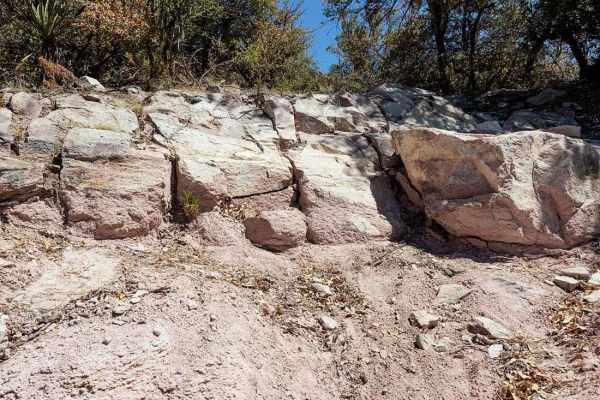
Granite Knob-FS 4083 H
A great short trail to test yourself and your vehicle. This is the only trail in the area that has any significant obstacles. The loose climb and small ledges can be done in a stock 4x4. The final ledge is significantly more difficult and is what earns this trail an advanced rating. Lockers and good...
Learn more about Granite Knob-FS 4083 H
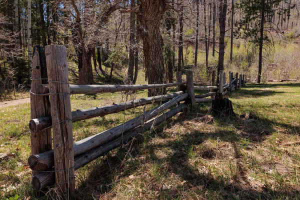
Bear Canyon Rd-FS 855 A
Bear Canyon Road begins in the Signal Fire burn scar but climbs into a beautiful Ponderosa pine forest. The road is generally easy and well-maintained. Great views of the Black Range as you climb higher. The vegetation is an interesting mix primarily Ponderosa pines but also some agaves. Agaves are ...
Learn more about Bear Canyon Rd-FS 855 A
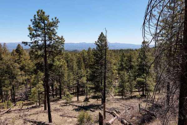
Signal Peak Road - FS 154
The Signal Peak Road provides access to the Signal Peak fire lookout tower. It is a generally easy gravel road with a few spots that could be muddy following rain or during snow melt. The road traverses an area burned in the Signal Fire of 2014. The trees are slowly recovering but it will be many de...
Learn more about Signal Peak Road - FS 154
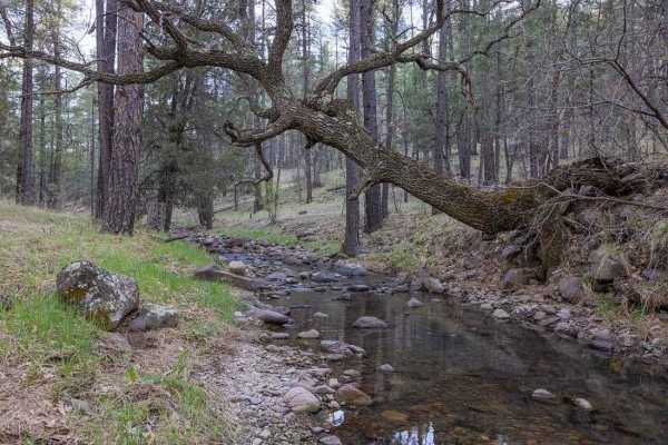
Meadow Creek Road-FS 149
The Meadow Creek Road begins in a Ponderosa Pine Forest with great camping. The road quickly descends into the Meadow Creek Valley and riparian area. The lushness of the riparian area contrasts nicely with the surrounding landscape. The road crosses the creek multiple times. At the junction with FS ...
Learn more about Meadow Creek Road-FS 149
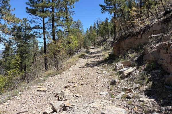
FS 4083T
FS 4083T heads 3.1 miles north along a scenic ridge north from Sheep Corral Canyon Road towards the Gila Wilderness boundary. The trail begins with a shallow grade but transitions to a rocky, moderately off-camber descent with views of the wilderness off to the east. There are a few short, steep hil...
Learn more about FS 4083T
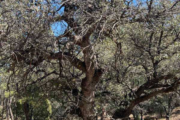
FS 827 Deadman
This trail is one of the few in the area that is wider and has less chance of overhanging branches. The erosion ruts can change the complexity of the route in wet weather. This trail ends at the enormous Tyrone mine boundary. There are a few majestic Alligator Juniper pine trees along the route.
Learn more about FS 827 Deadman
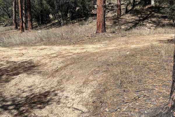
FS 914
This is a sandy trail that provides access to the fun and challenging FS 915 Boundary Bowl and connects to FS 827. It travels on the southwestern edge of the enormous Tyrone Mine. Like many of the trails in this area, erosions ruts, and overhanging trees can create hazards.
Learn more about FS 914
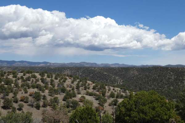
Powderhorn Ridge
Powderhorn Ridge begins in a short section of private land tracks before meeting the Gila National Forest boundary that is designated via a large sign and a water crossing that cuts through the Mimbres River. The trail shows recent signs of being maintained as of 04/2024 and is primarily a dirt surf...
Learn more about Powderhorn Ridge
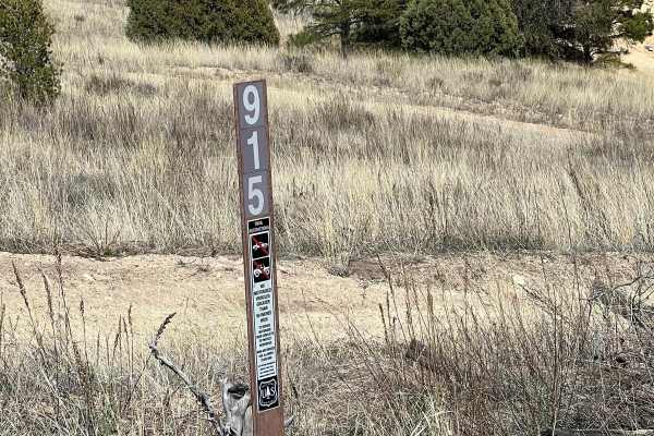
FS 915 Boundary Bowl
This is a fun area to rest, play and test your skills and your rig. There are a number of small hills of varying degrees of difficulty. The area is bowl-shaped and allows you to watch your friends navigate the terrain. It is also sheltered and can be an excellent place for a picnic or snack.
Learn more about FS 915 Boundary Bowl
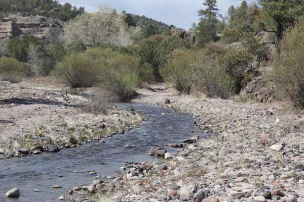
Mimbres River
The Mimbres River trail has a wide variety of obstacles and multiple water crossings as it winds north and cuts through the river multiple times. Several of these water crossings can be up to 18 inches in depth and are met with some short, steep-grade shelves going into or coming out of the riverbed...
Learn more about Mimbres River
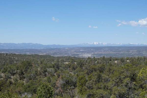
North Star - Sapillo to Chloride Canyon
North Star - Sapillo to Chloride Canyon has a long history in New Mexico dating back to the 1800s. The road itself is overall well-maintained except for some washboarding along the route. While there are no major obstacles along the route, there are several steeper grades and sections in the lower c...
Learn more about North Star - Sapillo to Chloride Canyon
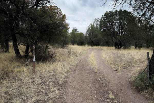
974
ATV Trail #974 is short and easy, only 0.6 miles long. This is a good starting point to access the few trails in this part of the Gila National Forest. You can park at the horse pasture and easily access this trail after a cattle gate. The route is mostly gradual, with minimal rock and a few shallow...
Learn more about 974
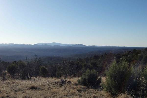
Elk Pasture
Elk Pasture is a loop trail that connects to SR35 in the Sapillo Creek region and provides great views of the surrounding area and mountains in the distance. The road is primarily single-vehicle-wide, with a few areas providing enough room to pass, and is a combination of dirt and rocks. While there...
Learn more about Elk Pasture
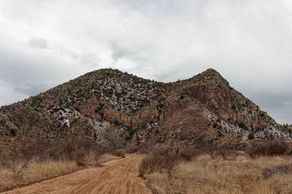
Saddle Rock Canyon Rd
Saddlerock Canyon Road traverses the northern section of the Big Burro Mountains. Starting from the north the trail begins in a sandy wash. There are numerous interesting rock formations as well as some huge cottonwood trees. The Big Burro Mountains are known for copper mining and several other roc...
Learn more about Saddle Rock Canyon Rd
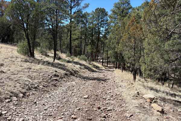
Lincoln Canyon Road - FS 4079T
Lincoln Canyon Road (FS 4079T) travels through a scenic wooded canyon between New Mexico Route 15 and North Star Road. The road starts in a Forest Service administrative horse pasture. The ascent through the canyon is gradual, and the surface changes from hard-packed dirt to looser cobbles and bould...
Learn more about Lincoln Canyon Road - FS 4079T
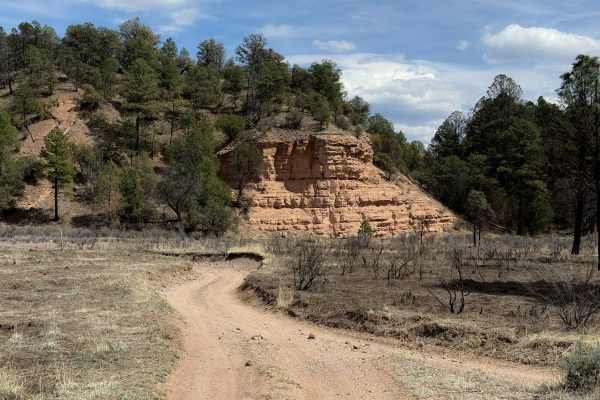
964
ATV trail #964 is the longest trail within the Sapillo Campground trail system, being almost 2 miles long. It is a wide path through ponderosa pine trees and big open grassy fields. The north end starts as a smooth dirt trail, ten feet wide, with easy curves along a fence line. An offline map is hel...
Learn more about 964
961
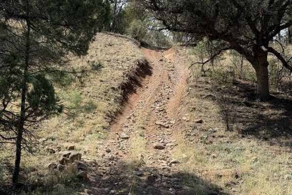
The south end of ATV Trail #961 starts along a fence line right next to the Sapillo Campground. It is an easy and wide dirt trail with some loose and embedded rock and shallow ruts. It meanders through the ponderosa pines and wide open fields of tall grass, with not much shade. The trail is wide for...
Learn more about 961
FS 91 Old Tyrone Road
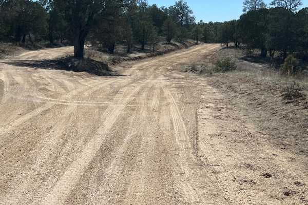
This route follows the Old Tyrone Road which was primarily used to go into the Burro Mountains. The mine changed that access. Now, the main road is Tyrone Thompson Road. The old townsite of Tyrone, at the north end of this road, was also consumed by the massive operation of the Tyrone Mine. The ro...
Learn more about FS 91 Old Tyrone Road
968
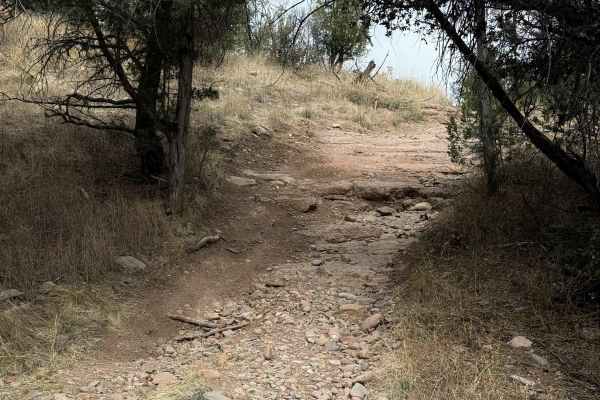
ATV Trail #968 is 5.2 miles long through the Gila National Forest. The southern half from the Mimbres River Trail to the intersection with Trail #972 is more moderate difficulty, with steep and loose climbs and heavier rock sections, gaining almost 1,000 feet of elevation in the first 2.5 miles. Thi...
Learn more about 968
FS 911 West
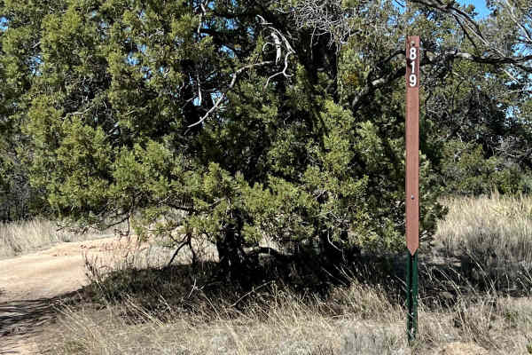
This route starts from Tyrone Thompson Road as FS 819 Shrine Mine. A turn east is FS 911. It leads to a beautiful picnic spot along a small stream. It is narrow due to overhanging trees. Erosion has caused deep ruts in the sides of the trail and ruts take over the trail at times. Sliding into a rut ...
Learn more about FS 911 West
ATV trails near Arenas Valley, New Mexico
Explore ATV-friendly trails near you. These trails are accessible for vehicles up to 50 inches wide, perfect for ATVs and smaller off-road machines.
Granite Knob-FS 4083 H
A great short trail to test yourself and your vehicle. This is the only trail in the area that has any significant obstacles. The loose climb and small ledges can be done in a stock 4x4. The final ledge is significantly more difficult and is what earns this trail an advanced rating. Lockers and good...
Learn more about Granite Knob-FS 4083 H
Bear Canyon Rd-FS 855 A
Bear Canyon Road begins in the Signal Fire burn scar but climbs into a beautiful Ponderosa pine forest. The road is generally easy and well-maintained. Great views of the Black Range as you climb higher. The vegetation is an interesting mix primarily Ponderosa pines but also some agaves. Agaves are ...
Learn more about Bear Canyon Rd-FS 855 A
Signal Peak Road - FS 154
The Signal Peak Road provides access to the Signal Peak fire lookout tower. It is a generally easy gravel road with a few spots that could be muddy following rain or during snow melt. The road traverses an area burned in the Signal Fire of 2014. The trees are slowly recovering but it will be many de...
Learn more about Signal Peak Road - FS 154
Meadow Creek Road-FS 149
The Meadow Creek Road begins in a Ponderosa Pine Forest with great camping. The road quickly descends into the Meadow Creek Valley and riparian area. The lushness of the riparian area contrasts nicely with the surrounding landscape. The road crosses the creek multiple times. At the junction with FS ...
Learn more about Meadow Creek Road-FS 149
UTV/side-by-side trails near Arenas Valley, New Mexico
Find UTV and side-by-side trails near you. These trails accommodate vehicles up to 60 inches wide, ideal for UTVs, side-by-sides, and wider off-road rigs.
Granite Knob-FS 4083 H
A great short trail to test yourself and your vehicle. This is the only trail in the area that has any significant obstacles. The loose climb and small ledges can be done in a stock 4x4. The final ledge is significantly more difficult and is what earns this trail an advanced rating. Lockers and good...
Learn more about Granite Knob-FS 4083 H
Bear Canyon Rd-FS 855 A
Bear Canyon Road begins in the Signal Fire burn scar but climbs into a beautiful Ponderosa pine forest. The road is generally easy and well-maintained. Great views of the Black Range as you climb higher. The vegetation is an interesting mix primarily Ponderosa pines but also some agaves. Agaves are ...
Learn more about Bear Canyon Rd-FS 855 A
Signal Peak Road - FS 154
The Signal Peak Road provides access to the Signal Peak fire lookout tower. It is a generally easy gravel road with a few spots that could be muddy following rain or during snow melt. The road traverses an area burned in the Signal Fire of 2014. The trees are slowly recovering but it will be many de...
Learn more about Signal Peak Road - FS 154
Meadow Creek Road-FS 149
The Meadow Creek Road begins in a Ponderosa Pine Forest with great camping. The road quickly descends into the Meadow Creek Valley and riparian area. The lushness of the riparian area contrasts nicely with the surrounding landscape. The road crosses the creek multiple times. At the junction with FS ...
Learn more about Meadow Creek Road-FS 149
The onX Offroad Difference
onX Offroad combines trail photos, descriptions, difficulty ratings, width restrictions, seasonality, and more in a user-friendly interface. Available on all devices, with offline access and full compatibility with CarPlay and Android Auto. Discover what you're missing today!
Open Trail Map