
Dirt Bike Trails
Near Alpine Northwest, Wyoming
Explore All Dirt Bike Trails Near Alpine Northwest, Wyoming
Dirt Bike Trails Near Alpine Northwest, Wyoming
Discover the best dirt bike trails near you. Browse trail maps, check difficulty ratings, and find your next adventure — whether you're looking for a quick ride or an all-day expedition.
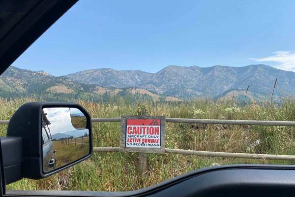
Alpine Scenic Beach Drive
NOTE THIS CAN ONLY BE DRIVEN DURING LOW RESERVOIR LEVELS! This is a gentle dirt road with two worn earth berms to cross. Closer to the reservoir along US Hwy 26, there are loose sandy areas. The low vantage point from the valley floor is breathtaking on a clear day with views of the surrounding moun...
Learn more about Alpine Scenic Beach Drive
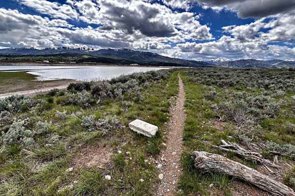
Skinny Mini
This little single track is a multi-use trail used by hikers, runners, dog walkers, and mountain bikers, along beautiful Palisades Reservoir. If you see dust, you are riding too fast. Keep it in check. Do not go off-trail and ride over the sagebrush. It's called the Skinny Mini, as the trail is no...
Learn more about Skinny Mini
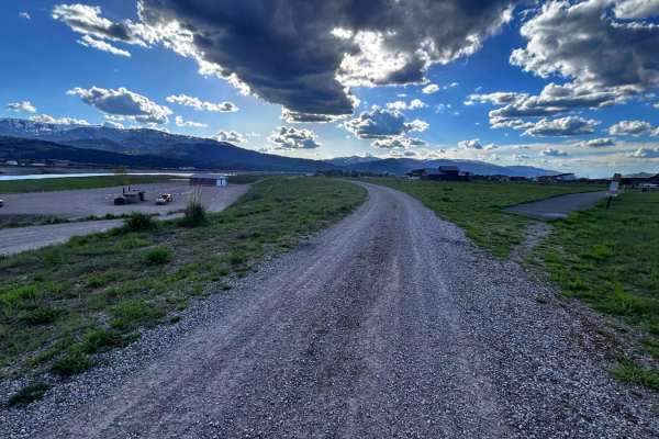
Old Palisades
Old Palisades can be taken from the Town of Alpine to the Palisades Reservoir instead of taking Old Alpine Road. Since this trail is adjacent to many homes, keep speed to 15 miles per hour or less. The trail is well traveled by dog walkers and hikers, be friendly in our small town, and stop and say ...
Learn more about Old Palisades
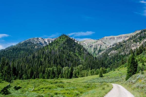
Greys River
Greys River Road is a well-graded dirt road that can be done by most vehicles. The area is amazing, and just the main road itself is worth a visit. The best way to experience this area is to camp up the road close to alpine and ride OHVs up the road and explore the side trails as you go. Be aware th...
Learn more about Greys River
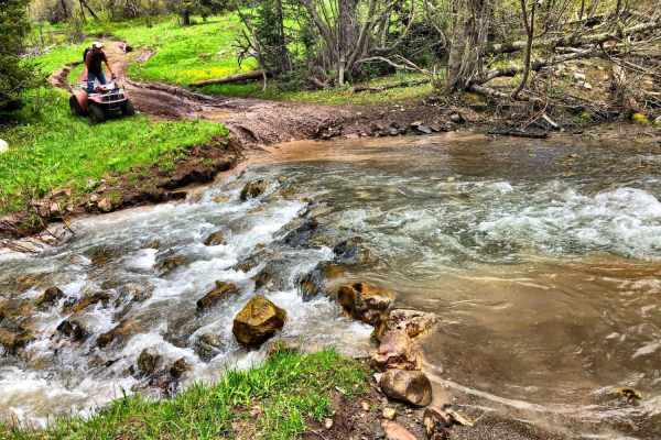
Burns Trout Creek Trail
Fun trail for all levels of riding. In the spring and early summer the trail has lots of deep run-offs, ruts, mudholes and dispersed creek water. There are two major, year around, water crossing which are not deep but can be quite fast running, and is doable on two wheels. Cows and horses also use ...
Learn more about Burns Trout Creek Trail
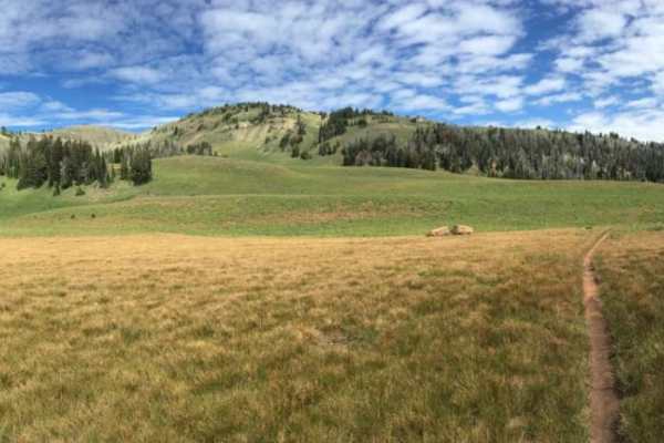
Palisades Indian Creek
This route has amazing views while you ride along two forks of a creek that enter Palisades after their confluence towards the trailhead. The route takes the rider from 5,800 to 9,400 feet while crossing and riding in the creek. On the southern side, the route is only 5 miles from the Hoback, a very...
Learn more about Palisades Indian Creek
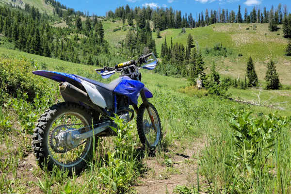
Mountain Single Track
Singletrack trail for dirt bikes only. It is not wide enough for anything with four wheels. This trail is on the advanced side with tight turns/corners, small creek crossings, brief loose sections, and occasional small obstacles. Good throttle control and bike maneuverability are a must. According t...
Learn more about Mountain Single Track
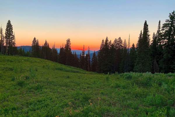
Squaw Creek
This trail has two important notes. First is that it is only open to 50" ATV's or smaller. Second is that it is seasonal : open July 1st through August 10th. This trail offers beautiful mountain landscapes with aspens, pines, fields of grassy wildflowers, and sweeping views of peaks and valleys. The...
Learn more about Squaw Creek
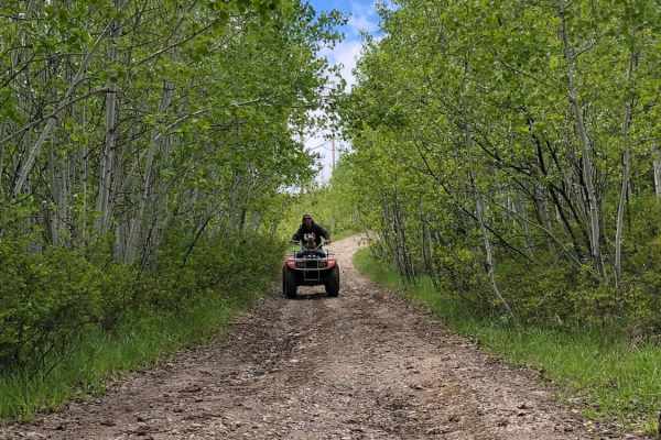
Stewart Trail
Stewart trail is a multi-use trail. Horse, hike, mountain bike, snowshoe, snowmobile, as well as hunters. Park in the cul-de-sac. Do follow trail etiquette. The trail head starts in a residential area and meanders behind property landowners and an Elk Refuge. Motorized is prohibited in the Elk Refug...
Learn more about Stewart Trail
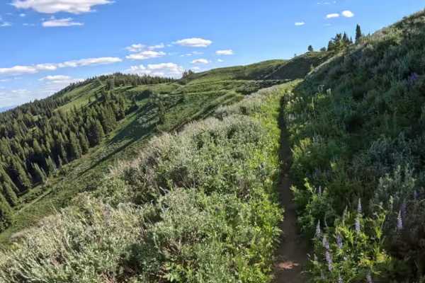
Hell Creek
Located in the Caribou National Forest. Hell Creek has its name for a reason. You can either start from the top of Black Mountain and ride down or start on McCoy Creek Road and ride up. Ridden uphill, the route is rated very difficult. The first challenge is riding across McCoy Creek, which is a ver...
Learn more about Hell Creek
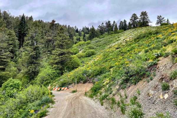
Black Mountain - 004
You just completed Pat Canyon and you will see a gate. Public access is permitted beyond the gate. The trail meanders along the west side of the Black Mountain with 3.5 miles of easy switchbacks into a very dense forest, to the Black Mountain Communication Data Site, which provides transmission ser...
Learn more about Black Mountain - 004
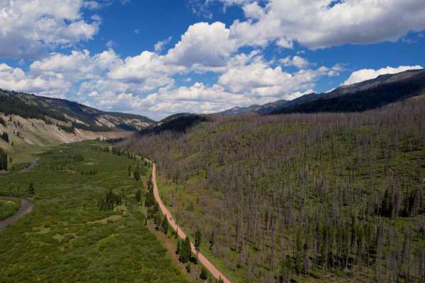
Greys River Road
This route takes you the whole length of the Wyoming Range following the Greys River. Along the way, you'll experience mountain vistas, the beautiful Greys River, wildlife, alpine lakes, and hundreds of places to camp. The trail is not aggressive at all, minus a few water crossings and the occasiona...
Learn more about Greys River Road
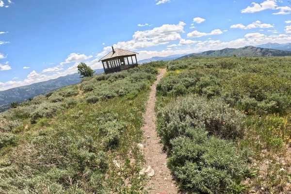
Elk Moutain Lookout
Located within the Bridger-Teton National Forest, Elk Mountain is a seasonal trail, so be sure to check current access dates. This challenging single-track is defined by a steep ascent, featuring a few super tight switchbacks throughout the first mile before transitioning into a rugged expanse of lo...
Learn more about Elk Moutain Lookout
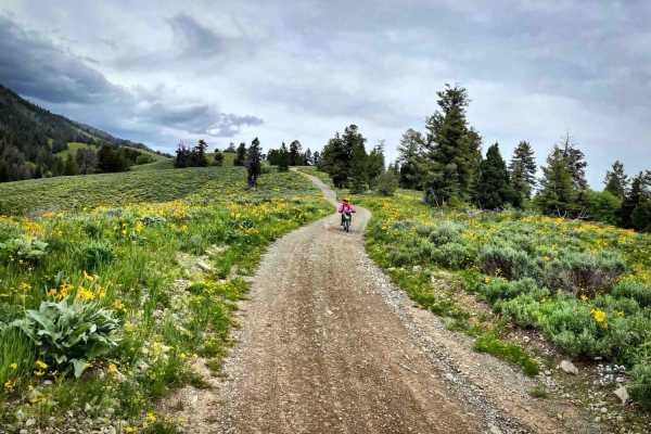
Pat Canyon - 286
Forest Service Road 286 is about 3.5-mile long with beautiful vistas of Star Valley, Wyoming, and the Palisades Reservoir. There are fire pits and a campsite along the first mile near Deer Creek. Bring bug repellant and watch for wildlife. Pack In. Pack Out. At the end of Pay Canyon road, it turn...
Learn more about Pat Canyon - 286
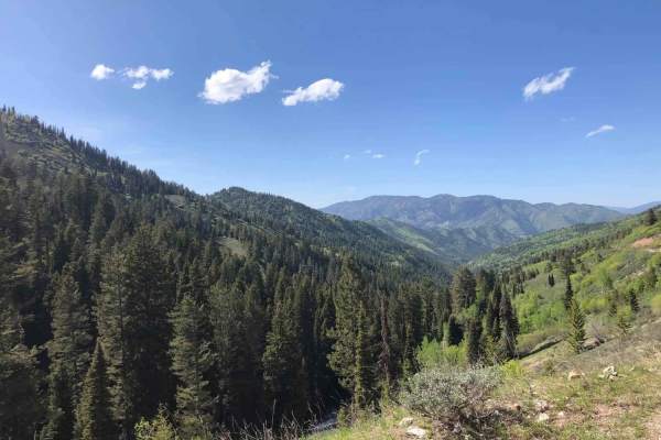
West Fork #863 Elk Creek
West Fork #863 Elk Creek is an approachable, scenic offroad route through the Caribou National Forest, perfect for novice motorbikers, beginner off-roaders, and anyone seeking stunning mountain vistas. Spanning approximately 5.1 miles, this trail is a continuous, slow uphill climb that gains roughly...
Learn more about West Fork #863 Elk Creek
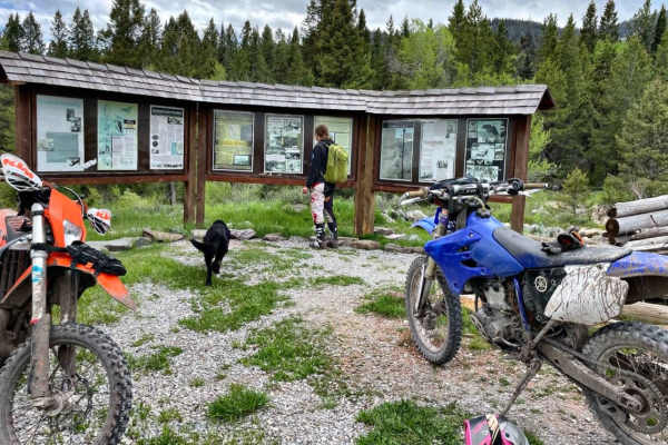
Caribou City Trail #165
This road is highly visited, and worth the trip in winter (snowmobile only) and in Spring, Summer, and Fall. At the end of this ORV trail, you will learn about 1860s Caribou City Mining Town and be able to hike, mountain bike, and horse ride additional trails beyond. Plenty of space to turn around ...
Learn more about Caribou City Trail #165
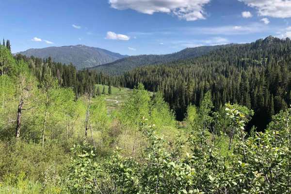
Jensen Forest Road
Jensen 058 Forest Road is a well-maintained service road through Caribou-Targhee National Forest. Beautiful views, make sure to bring a camera and mosquito repellant. Cell services coverage is limited. Seasonal: Open to ATV, dirt bikes, jeep, and UTV from spring to late fall. Open to snowmobiling in...
Learn more about Jensen Forest Road
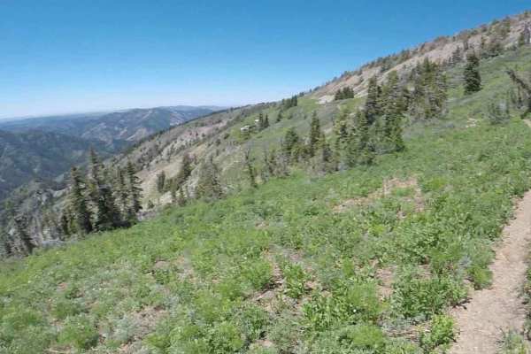
Elk Ridge Mtn
Elk Ridge Mtn is a challenging, high-elevation singletrack trail designed for experienced off-road motorcyclists seeking spectacular alpine views and a technical riding experience. Spanning nearly three miles across the slopes of Big Elk Mountain, this route rises from a starting elevation of 8,100 ...
Learn more about Elk Ridge Mtn
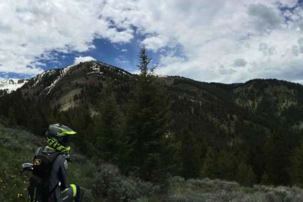
Muddy Creek to Where Stuff Gets Real
This route will take you on a lesser traveled single-track trail that is very easy, besides the crossing of Bear Creek to a very difficult and technical single-track. The first mile and a half is very green and lush as you follow and even ride in Muddy Creek. You will get wet on this ride, so plan a...
Learn more about Muddy Creek to Where Stuff Gets Real
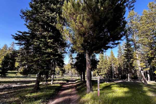
Iowa Creek - 452
This is a short little side trail to an old miner's cabin, homemade sleuth, outhouse, and root cellar off the Caribou City Trail. Be careful when entering these dwellings and leave no trace. This trail is an easy ride, with a few small rocks, and will eventually dead-end with a turnabout. You can he...
Learn more about Iowa Creek - 452
ATV trails near Alpine Northwest, Wyoming
Explore ATV-friendly trails near you. These trails are accessible for vehicles up to 50 inches wide, perfect for ATVs and smaller off-road machines.
Alpine Scenic Beach Drive
NOTE THIS CAN ONLY BE DRIVEN DURING LOW RESERVOIR LEVELS! This is a gentle dirt road with two worn earth berms to cross. Closer to the reservoir along US Hwy 26, there are loose sandy areas. The low vantage point from the valley floor is breathtaking on a clear day with views of the surrounding moun...
Learn more about Alpine Scenic Beach Drive
Old Palisades
Old Palisades can be taken from the Town of Alpine to the Palisades Reservoir instead of taking Old Alpine Road. Since this trail is adjacent to many homes, keep speed to 15 miles per hour or less. The trail is well traveled by dog walkers and hikers, be friendly in our small town, and stop and say ...
Learn more about Old Palisades
Greys River
Greys River Road is a well-graded dirt road that can be done by most vehicles. The area is amazing, and just the main road itself is worth a visit. The best way to experience this area is to camp up the road close to alpine and ride OHVs up the road and explore the side trails as you go. Be aware th...
Learn more about Greys River
Burns Trout Creek Trail
Fun trail for all levels of riding. In the spring and early summer the trail has lots of deep run-offs, ruts, mudholes and dispersed creek water. There are two major, year around, water crossing which are not deep but can be quite fast running, and is doable on two wheels. Cows and horses also use ...
Learn more about Burns Trout Creek Trail
UTV/side-by-side trails near Alpine Northwest, Wyoming
Find UTV and side-by-side trails near you. These trails accommodate vehicles up to 60 inches wide, ideal for UTVs, side-by-sides, and wider off-road rigs.
Alpine Scenic Beach Drive
NOTE THIS CAN ONLY BE DRIVEN DURING LOW RESERVOIR LEVELS! This is a gentle dirt road with two worn earth berms to cross. Closer to the reservoir along US Hwy 26, there are loose sandy areas. The low vantage point from the valley floor is breathtaking on a clear day with views of the surrounding moun...
Learn more about Alpine Scenic Beach Drive
Old Palisades
Old Palisades can be taken from the Town of Alpine to the Palisades Reservoir instead of taking Old Alpine Road. Since this trail is adjacent to many homes, keep speed to 15 miles per hour or less. The trail is well traveled by dog walkers and hikers, be friendly in our small town, and stop and say ...
Learn more about Old Palisades
Greys River
Greys River Road is a well-graded dirt road that can be done by most vehicles. The area is amazing, and just the main road itself is worth a visit. The best way to experience this area is to camp up the road close to alpine and ride OHVs up the road and explore the side trails as you go. Be aware th...
Learn more about Greys River
Greys River Road
This route takes you the whole length of the Wyoming Range following the Greys River. Along the way, you'll experience mountain vistas, the beautiful Greys River, wildlife, alpine lakes, and hundreds of places to camp. The trail is not aggressive at all, minus a few water crossings and the occasiona...
Learn more about Greys River Road
The onX Offroad Difference
onX Offroad combines trail photos, descriptions, difficulty ratings, width restrictions, seasonality, and more in a user-friendly interface. Available on all devices, with offline access and full compatibility with CarPlay and Android Auto. Discover what you're missing today!
Open Trail Map