
Beginner Off-Road Trails
Near Yuma, Arizona
Explore All Beginner Trails Near Yuma, Arizona
Beginner Off-Road Trails Near Yuma, Arizona
Discover the best beginner-friendly off-road trails near you. These easier, lower-rated trails are a great place to start — browse trail maps, check difficulty ratings, and find your next adventure.
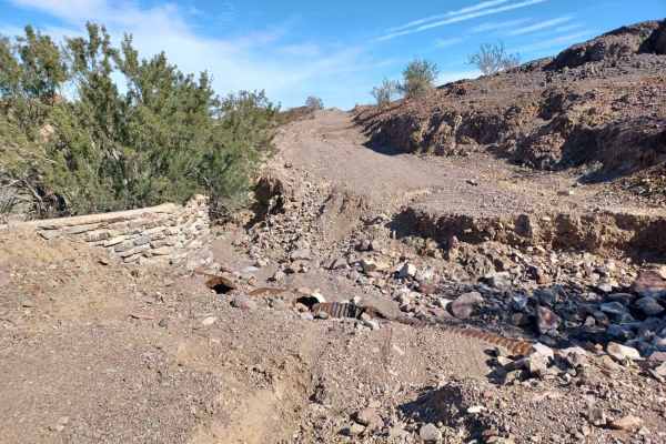
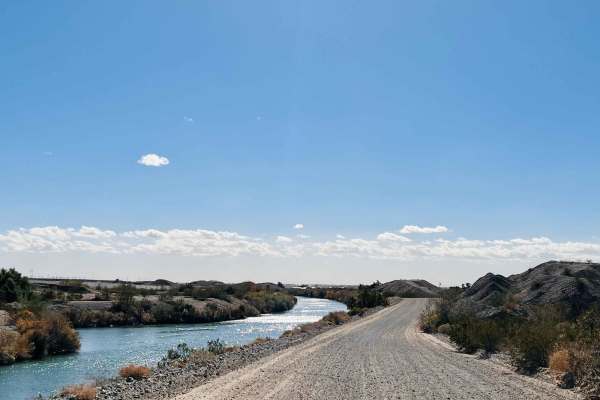
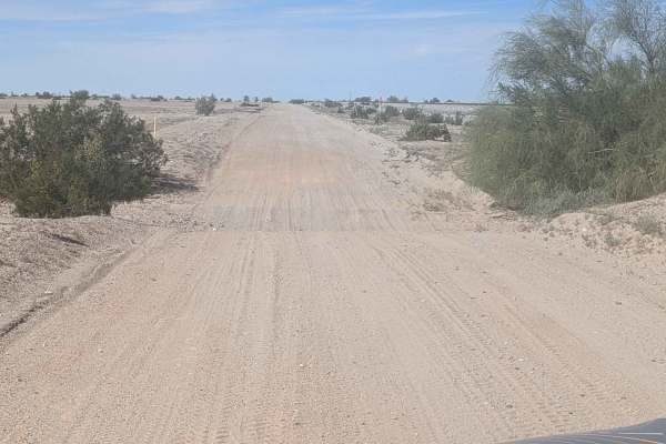
South Levee to Yuma
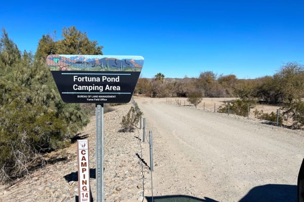
South Levee Road to Yuma is a wide elevated road with many washboards and several deep potholes. It follows along the Gila Aqueduct until reaching the Colorado River. The confluence is a popular river access point with open riding opportunities as well as fishing and camping. This road also passes F...
Learn more about South Levee to Yuma
Picacho State Park Trail
Picacho State Park Road is easy to get to and is mainly loose gravel and washes. It is a two-lane at first then turns into a one-lane. The southern part starts wide, then gets narrow with hills and moves into a riverbed wash. For the most part, it is an easy trail with few challenges. It's well wort...
Learn more about Picacho State Park Trail
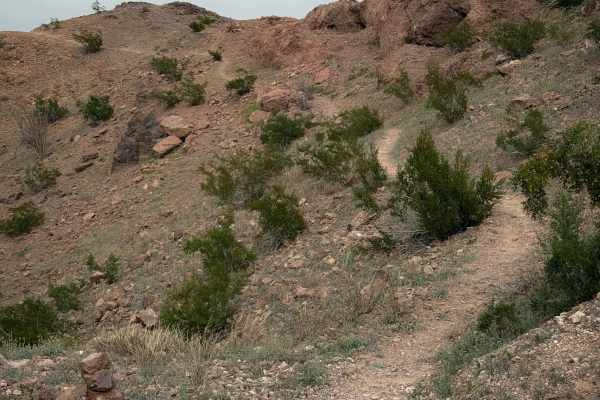
Ryan's
Ryan’s Trail is a fun dirt bike trail across the Laguna Hills that is mostly fast and flowy, and ideal for riders of all skill levels. It follows a narrow singletrack across small rolling hills, on a packed surface of loose rocks and dirt, with frequent dips into small ravines and wash crossings. Th...
Learn more about Ryan's
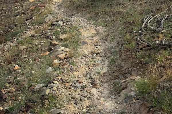
Bart
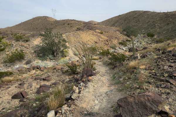
Bart is a fun desert singletrack meandering between the base of small desert hills, side-hilling along the edge, and across the tops of the low hills. It is a narrow path on a packed, loose rock surface that is easy to follow. It crosses over little spines and dips through little washes. The trail i...
Learn more about Bart
Barney Oldfield Road
Barney Oldfield Road is a mixed surface road of gravel, sand, and rock. Most of this road runs through a wash, the sand can be deep in areas, and these spots are prone to flash floods, which do not attempt during rainy seasons. The road runs through the Bureau of Land Management property. The road h...
Learn more about Barney Oldfield Road
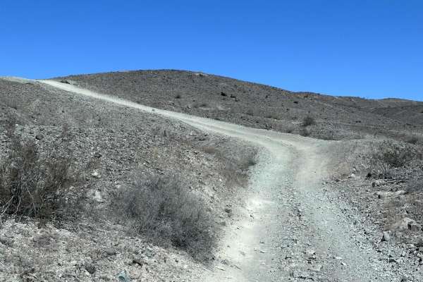
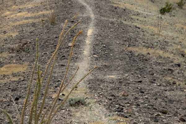
Moon Rocks
This trail is accessed halfway through Ryan’s and connects out to another dirt road. It follows the spine of a hill as a narrow single track, side-hilling on the edge of the hill, riding past big ocotillo cacti. It makes some sharp corners and crosses little ravines, sometimes with a sharp dip in an...
Learn more about Moon Rocks
West Side (Easy)
West Side starts on the edge of one of the dirt roads in the Laguna Hills, and goes across a flat desert terrain that is packed loose rock. There are several rock “goal posts” that help mark the trail. It winds along the rolling desert hilltops and drops into a rocky wash. The trail can be a bit har...
Learn more about West Side (Easy)
Backyard
Backyard is a short dirt bike trail that connects Bart to Bird Pole. It’s about a half mile long, and follows a narrow single track across the base of rolling desert hills, on a smooth surface of packed small loose rocks, dipping into small ravines as it flows over the rolling hills. Watch out for s...
Learn more about Backyard
AZ Peace Trail Laguna Ridge Hill Bypass
This easy wide section of the Arizona Peace Trail runs alongside the large irrigation canal. There seem to be people fishing in the canal, so be aware of how much dust you kick up. It's well-graded and wide, with some rough washboard sections. Use caution as there is lots of heavy farm equipment in ...
Learn more about AZ Peace Trail Laguna Ridge Hill Bypass
Ryan's Trail
Ryan's Trail is a 2.2 mile point to point trail within the Laguna Hills area. This trail turns off of the Laguna Ridge Trail and drops down into a wash crosses the Laguna Ridge trail and then connects to LCR1827. There are several memorials placed along this trail, Including the memorial for Ryan.
Learn more about Ryan's Trail
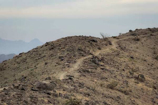
Flynnagain
Flynnagain is a fun 1.5-mile-long singletrack on the southern portion of the Laguna Hills trail system. The north entrance is marked with the name of the trail, and it rides across a barren hilltop full of dark colored, packed loose rocks. The trail is worn into the rocks, but there are also rock st...
Learn more about Flynnagain
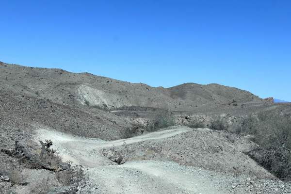
LCR1827
LCR 1827 is a 4.1 mile out and back trail that starts off the Laguna Ridge trail and ends at Gila Gravity Main Canal. This is a great side trip to have lunch at the Gila Gravity Main Canal. The trail starts on the ridge line and quickly drops down into a wash. This trail has erosion damage up to 12 ...
Learn more about LCR1827
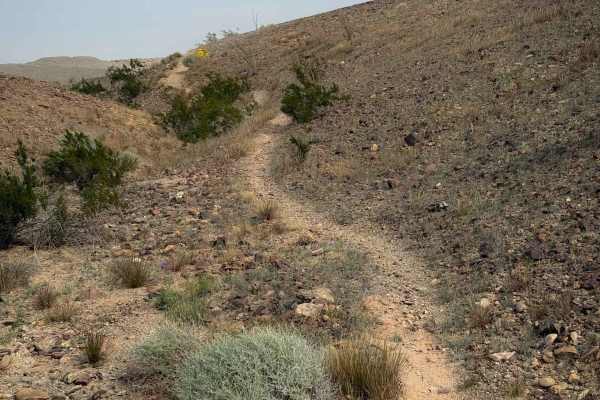
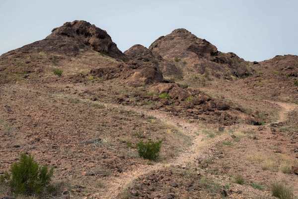
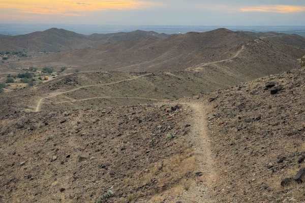
1831
This is a fun, almost 2-mile-long dirt bike trail that rides atop a ridge line in the Laguna Hills near Laguna, Arizona. The northern half of the trail has several segments of side-hilling that are exposed, making sharp corners as it follows the contour of the hillsides, dipping into small ravines a...
Learn more about 1831
Picnic Table
This is a fun single track through the Laguna Hills that takes you to a picnic table with a scenic view of the surrounding mountains. From the west end, the trail drops down from a road on the ridge, continues as a narrow trail that side-hills along the mountainside through a barren desert terrain. ...
Learn more about Picnic Table
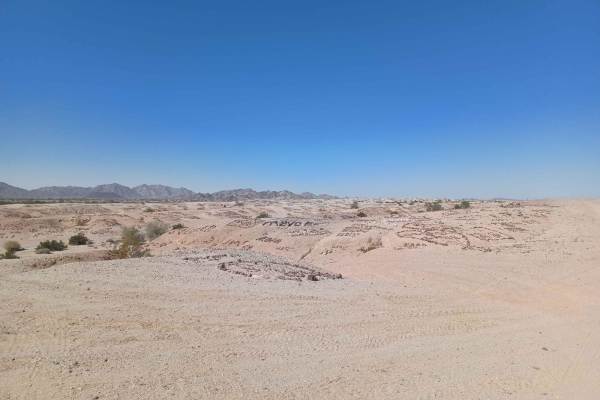
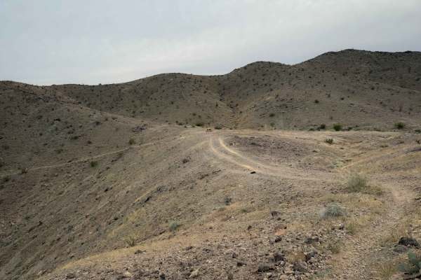
Valley of the Names
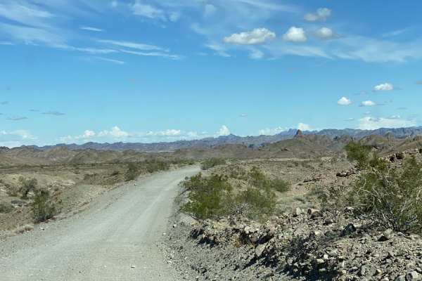
Valley of the Names is a really cool road, for miles, there are rocks that people have moved and created little sayings and names! It is a cool thing to see! The road is mostly gravel with some off-camber areas and loose sand in sections. This area is prone to flooding, some sections of this road ei...
Learn more about Valley of the Names
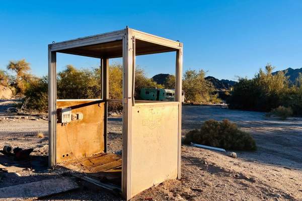
AZ Peace Trail The Fields To The Abandoned Bus Stop
This easy section of the Arizona Peace Trail is a unique sight along the route. It starts in the fields and canals and crosses the highway as it cuts through the large concrete and gravel plant. Once there, you drive between a large irrigation canal and the active train tracks. This route offers sup...
Learn more about AZ Peace Trail The Fields To The Abandoned Bus Stop
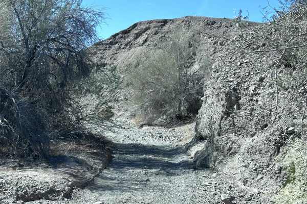
Pipeline Cutoff
This trail is a shortcut from Ogilby Road connecting to BLM 920. The surface is hard-packed sand and gravel and has been recently graded, providing excellent conditions. You'll cross various small drainage washes that are easy to maneuver but can be bumpy as you navigate these minor crossings. The t...
Learn more about Pipeline Cutoff
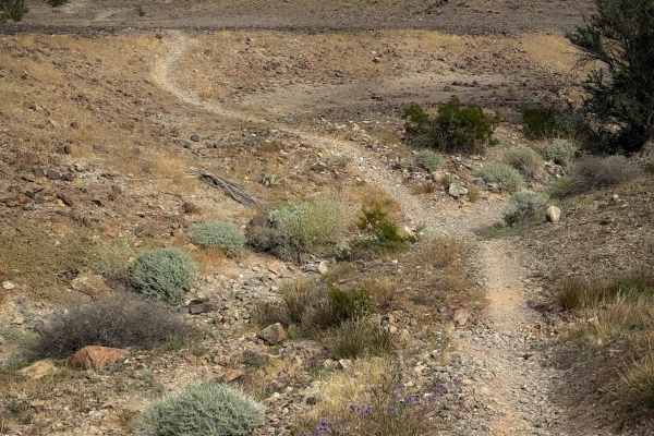
Johnnie Walker
Johnnie Walker is a fun singletrack through the Laguna hills that has a mix of side-hilling, spine riding, and rocky washes. It descends gradually from east to west, dropping almost 300 feet in elevation over 1.7 miles, as it descends from the hilltops to the valley below. On the hilltops, it’s a ve...
Learn more about Johnnie Walker
Champagne
Champagne is a short trail through the Laguna Hills that continues southeast after the Picnic Table Trail. The trail is almost a mile long, and overall gains a hundred feet of elevation as it rides along the ridge line on these flowing desert mountains. It constantly goes up and down small hills on ...
Learn more about Champagne
LCR1845
LCR1845 is a 2-mile point-to-point trail in the Laguna Hills area. This is a great side trail when traveling the Laguna Ridge trail or AZPT. LCR1845 takes you off the ridge lines and drops you into a wash. Most of this wash is a sandy trail with washboarded areas. There is one section of rocks up to...
Learn more about LCR1845
Beginner ATV trails near Yuma, Arizona
Explore ATV-friendly trails near you. These trails are accessible for vehicles up to 50 inches wide, perfect for ATVs and smaller off-road machines.
South Levee to Yuma
South Levee Road to Yuma is a wide elevated road with many washboards and several deep potholes. It follows along the Gila Aqueduct until reaching the Colorado River. The confluence is a popular river access point with open riding opportunities as well as fishing and camping. This road also passes F...
Learn more about South Levee to Yuma
Picacho State Park Trail
Picacho State Park Road is easy to get to and is mainly loose gravel and washes. It is a two-lane at first then turns into a one-lane. The southern part starts wide, then gets narrow with hills and moves into a riverbed wash. For the most part, it is an easy trail with few challenges. It's well wort...
Learn more about Picacho State Park Trail
Barney Oldfield Road
Barney Oldfield Road is a mixed surface road of gravel, sand, and rock. Most of this road runs through a wash, the sand can be deep in areas, and these spots are prone to flash floods, which do not attempt during rainy seasons. The road runs through the Bureau of Land Management property. The road h...
Learn more about Barney Oldfield Road
AZ Peace Trail Laguna Ridge Hill Bypass
This easy wide section of the Arizona Peace Trail runs alongside the large irrigation canal. There seem to be people fishing in the canal, so be aware of how much dust you kick up. It's well-graded and wide, with some rough washboard sections. Use caution as there is lots of heavy farm equipment in ...
Learn more about AZ Peace Trail Laguna Ridge Hill Bypass
Beginner UTV/side-by-side trails near Yuma, Arizona
Find UTV and side-by-side trails near you. These trails accommodate vehicles up to 60 inches wide, ideal for UTVs, side-by-sides, and wider off-road rigs.
South Levee to Yuma
South Levee Road to Yuma is a wide elevated road with many washboards and several deep potholes. It follows along the Gila Aqueduct until reaching the Colorado River. The confluence is a popular river access point with open riding opportunities as well as fishing and camping. This road also passes F...
Learn more about South Levee to Yuma
Barney Oldfield Road
Barney Oldfield Road is a mixed surface road of gravel, sand, and rock. Most of this road runs through a wash, the sand can be deep in areas, and these spots are prone to flash floods, which do not attempt during rainy seasons. The road runs through the Bureau of Land Management property. The road h...
Learn more about Barney Oldfield Road
AZ Peace Trail Laguna Ridge Hill Bypass
This easy wide section of the Arizona Peace Trail runs alongside the large irrigation canal. There seem to be people fishing in the canal, so be aware of how much dust you kick up. It's well-graded and wide, with some rough washboard sections. Use caution as there is lots of heavy farm equipment in ...
Learn more about AZ Peace Trail Laguna Ridge Hill Bypass
Ryan's Trail
Ryan's Trail is a 2.2 mile point to point trail within the Laguna Hills area. This trail turns off of the Laguna Ridge Trail and drops down into a wash crosses the Laguna Ridge trail and then connects to LCR1827. There are several memorials placed along this trail, Including the memorial for Ryan.
Learn more about Ryan's Trail
The onX Offroad Difference
onX Offroad combines trail photos, descriptions, difficulty ratings, width restrictions, seasonality, and more in a user-friendly interface. Available on all devices, with offline access and full compatibility with CarPlay and Android Auto. Discover what you're missing today!
Open Trail Map