
Beginner Off-Road Trails
Near Woolrich, Pennsylvania
Explore All Beginner Trails Near Woolrich, Pennsylvania
Beginner Off-Road Trails Near Woolrich, Pennsylvania
Discover the best beginner-friendly off-road trails near you. These easier, lower-rated trails are a great place to start — browse trail maps, check difficulty ratings, and find your next adventure.

Big Springs Road
Big Springs Road is a graded gravel road. It is an easy ride in the summer months, however there is no winter maintenance. During times of rain, snow, and ice the road will become harder to travel on. Big Springs Road is within Tiadaghton State Forest. The Mid State Hiking Trail is accessed via Big ...
Learn more about Big Springs Road
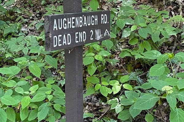
Aughenbaugh Road
Aughenbaugh Road is a 5-mile (out-and-back) dirt road with a great scenic overlook with a view of Avis, Pennsylvania, and the Pine Creek Valley. The road has a few steep grades with larger rocks and gullies. It ends at the beginning of private property. There are posted signs and a gate with a large...
Learn more about Aughenbaugh Road
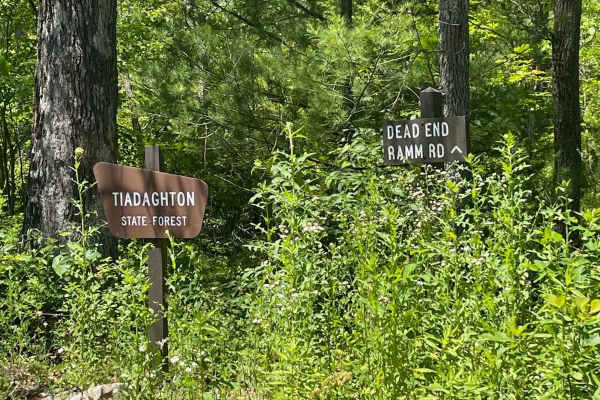
Ramm Road East
Ramm Road (eastern side of Pine Mountain Road) is a 5.6-mile (out-and-back) dirt road. The road has a few steep grades with larger rocks and gullies. It ends at the beginning of private property. There are posted signs and a large turnaround area, but no gate. Please do not trespass.
Learn more about Ramm Road East
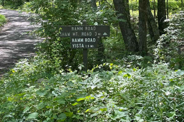
Ramm Road South
Ramm Road (southern side of Pine Mountain Road) is a 3-mile dirt and gravel road that runs north-south from Pine Mountain Road and Shaw Mountain Road. Ramm Road Vista is 1.5 miles from either end of Ramm Road South. It has a great view of Rauchtown and the Nippenose Valley.
Learn more about Ramm Road South
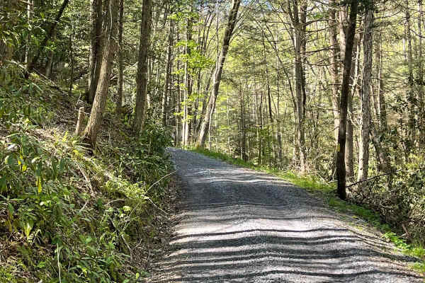
Queens Run Road
Queens Run Road is a very scenic dirt and loose gravel road. It crosses back and forth over Queens Run. There are numerous spots to pull off and hike along the road. Back in the 1800s, there was a stone dam about halfway up the run. You can still see what remains of the dam today. There is no winter...
Learn more about Queens Run Road
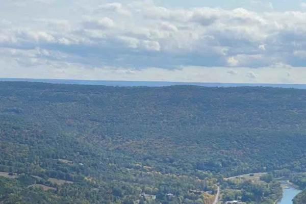
Bull Run Vista 3
Take Lower Pine Bottom Road off of PA State Route 664 to Bull Run Road. Bull Run Road has three vistas that have scenic overlooks of the Pine Creek Valley. The trail is well-marked for the roads to each vista from Bull Run Road. The vista trails are out-and-back to Bull Run Road. This is a well-main...
Learn more about Bull Run Vista 3
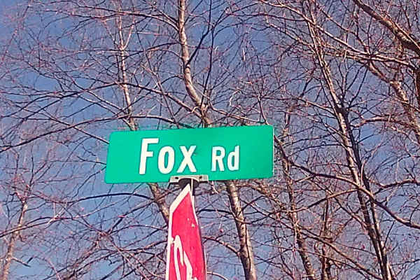
Fox Road
Fox Road is located within the Bald Eagle State Forest, near the intersection of Ramm Road. Fox Road is a connecting route to the mountainous area between Route 192 and Interstate 80 in Central Pennsylvania. Fox Road is set around a network of dirt roads and trails for snowmobiling. The closest conn...
Learn more about Fox Road
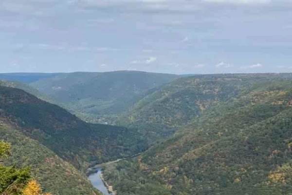
Bull Run Vista 1
Take Lower Pine Bottom Road off of PA State Route 664 to Bull Run Road. Bull Run Road has three vistas that have scenic overlooks of the Pine Creek Valley. The trail is well-marked for the roads to each vista from Bull Run Road. The vista trails are out-and-back to Bull Run Road. This is a well-main...
Learn more about Bull Run Vista 1
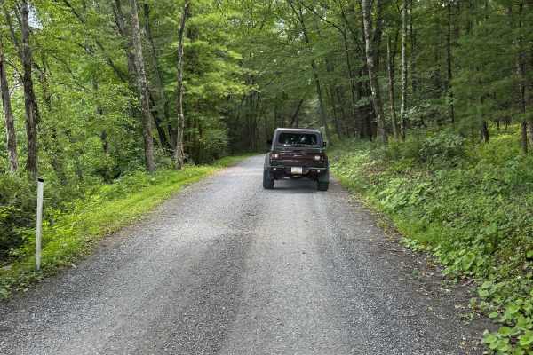
Lower Pine Bottom Road
Lower Pine Bottom Road is primarily a graded gravel road. It is an easy ride in the summer months; however, there is no winter maintenance. Lower Pine Bottom Road is within Tiadaghton State Forest. At the northern end of Lower Pine Bottom Road is the entrance to the Tiadaghton State Forest Resource ...
Learn more about Lower Pine Bottom Road
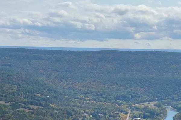
Bull Run Vista 2
Take Lower Pine Bottom Road off of PA State Route 664 to Bull Run Road. Bull Run Road has three vistas that have scenic overlooks of the Pine Creek Valley. The trail is well-marked for the roads to each vista from Bull Run Road. The vista trails are out-and-back to Bull Run Road. This is a well-main...
Learn more about Bull Run Vista 2
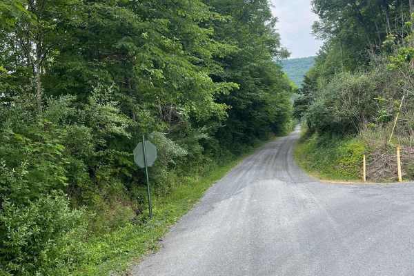
Shaw Mountain Road
Shaw Mountain Road is a nicely graded dirt road with a short gravel section on the northern end. It is an easy ride in the summer months, however there is no winter maintenance. During times of rain, snow, and ice, the road will become harder to travel on. Shaw Mountain Road is within both Bald Eagl...
Learn more about Shaw Mountain Road
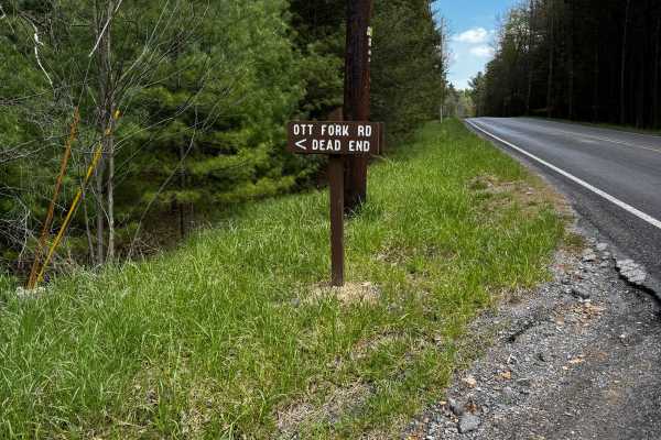
Ott Fork Road
Ott Fork Road is a 2-mile out-and-back graded dirt trail. It is a moderate ride in the summer months; however, there is no maintenance at all on this trail. During times of rain, snow, and ice, the trail can become rutted and harder to travel on. There may be downed trees or large branches that will...
Learn more about Ott Fork Road
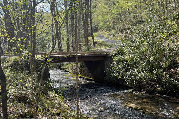
Hazard Road
Hazard Road lies fully within State Game Lands and is only open during Pennsylvania licensed hunting seasons--primarily from October to January and May. If you are in the area during any open hunting, the gates will be open and you can drive this scenic route. It is a relaxing drive across the top o...
Learn more about Hazard Road
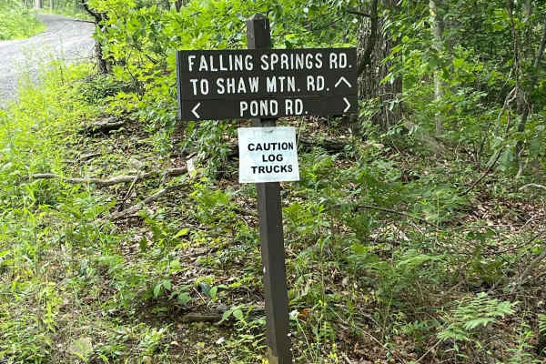
Falling Spring Road
Falling Springs Road is a graded gravel road. It is an easy ride in the summer months, however there is no winter maintenance. During times of rain, snow, and ice the road will become harder to travel on. Falling Springs Road is within Tiadaghton State Forest. Falling Springs Vista is located about...
Learn more about Falling Spring Road
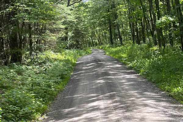
Cranberry Road
Cranberry Road is a 1-mile connector between the Robbins Road/Miller Road intersection to the north and Herman Road to the south. It is an easy flat dirt and gravel road. There is no winter maintenance on Cranberry Road, so travel with caution during snow and ice conditions. There also may be some w...
Learn more about Cranberry Road
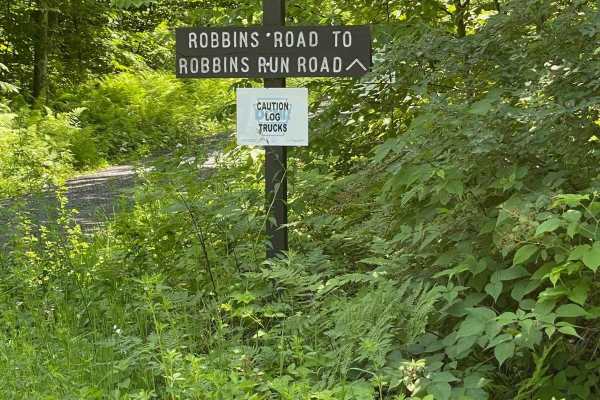
Robbins Road
Robbins Road is a 1 mile connector between Shaw Mountain Road on the north and Cranberry Road/Miller Road intersection on the south. It is an easy flat gravel road. There is no winter maintenance on Robbins Road, so travel with caution during snow and ice conditions. There also may be some water cro...
Learn more about Robbins Road
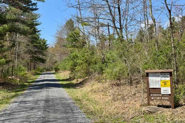
Nittany Ridge Road
A fairly typical Pennsylvania state forest road. It is peaceful and quiet. This road receives no winter maintenance, and the north end, where there is about 600 feet of elevation change, is not recommended for winter travel. At times, some of the ruts on the north end of the road may require caution...
Learn more about Nittany Ridge Road
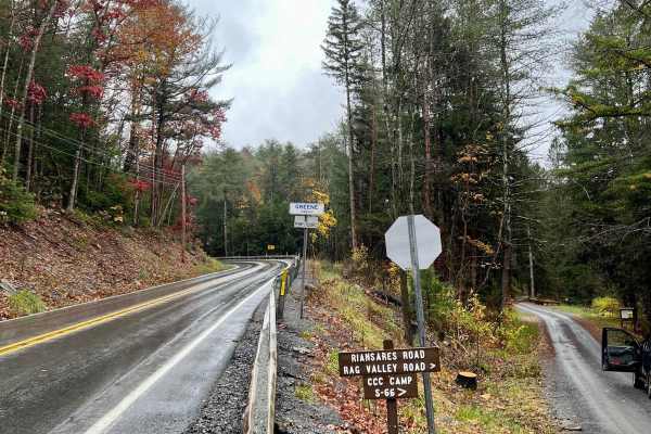
Firetower Road
This trail ascends to the peak of Riansares Mountain, 2,310 feet, before returning to the level of the surrounding area. There is a vista near the peak of the mountain and several radio/communication towers to be seen. Otherwise, it's a relaxing wooded drive that can be accessed by pretty much any s...
Learn more about Firetower Road

Herman Road
Herman Road is a 1.4-mile road with the easternmost 0.4 miles being a dirt/gravel road. This section begins at Cranberry Road on the west and goes to Robbins Run Road on the east. It is an easy flat gravel road. There is no winter maintenance on this section of Herman Road, so travel with caution du...
Learn more about Herman Road

Dam Run Road
Dam Run Road is primarily a graded gravel road with pavement on the eastern and western ends. Only the unpaved section of the road is mapped within onX. It is an easy ride in the summer months; however, there is no winter maintenance. During times of rain, snow, and ice, the road can become rutted a...
Learn more about Dam Run Road
Beginner ATV trails near Woolrich, Pennsylvania
Explore ATV-friendly trails near you. These trails are accessible for vehicles up to 50 inches wide, perfect for ATVs and smaller off-road machines.
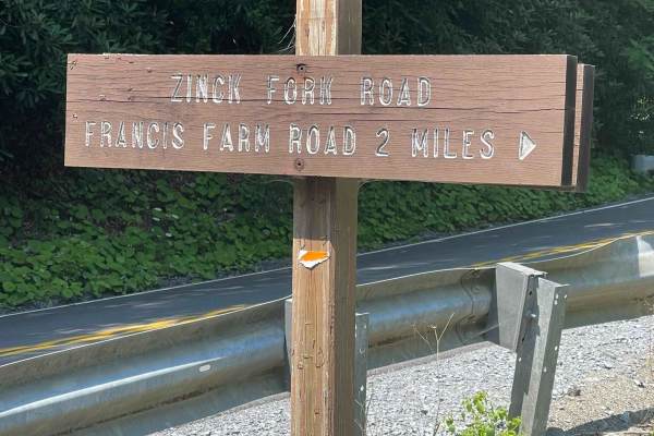
Zink Fork Road
Zink Fork Road is a graded gravel road. It is an easy ride in the summer months, however there is no winter maintenance. During times of rain, snow, and ice the road will become harder to travel on. Zink Fork Road is within Tiadaghton State Forest. The Haneyville ATV Trail network is accessible from...
Learn more about Zink Fork Road
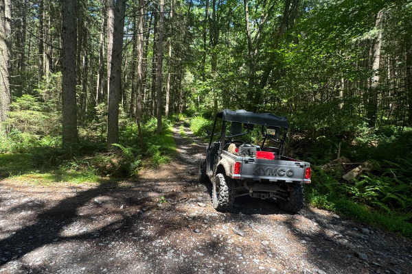
Button Connector Trail
Button Connector Trail is an ungraded narrow dirt trail. It is part of the PA DCNR Haneyville ATV Trail System located within Tiadaghton State Forest. The trail system is open for use year-round except for being closed for two months during the spring fire season and in the fall for hunting season. ...
Learn more about Button Connector Trail
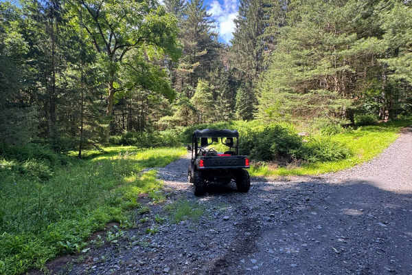
Lehigh Loop
Lehigh Loop is an ungraded, narrow dirt trail. It is part of the PA DCNR Haneyville ATV Trail System located within Tiadaghton State Forest. The trail system is open for use year-round except for being closed for two months during the spring fire season and in the fall for hunting season. Please cal...
Learn more about Lehigh Loop
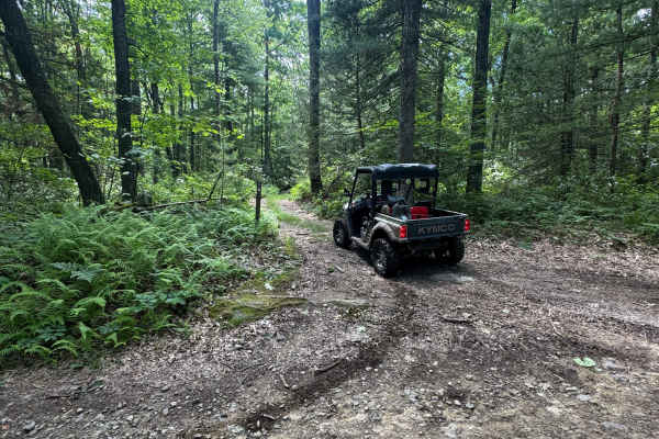
Pearly's Passage
Pearly's Passage is an ungraded, narrow dirt trail. It is part of the PA DCNR Haneyville ATV Trail System located within Tiadaghton State Forest. The trail system is open for use year-round except for being closed for two months during the spring fire season and in the fall for hunting season. Pleas...
Learn more about Pearly's Passage
Beginner UTV/side-by-side trails near Woolrich, Pennsylvania
Find UTV and side-by-side trails near you. These trails accommodate vehicles up to 60 inches wide, ideal for UTVs, side-by-sides, and wider off-road rigs.
Zink Fork Road
Zink Fork Road is a graded gravel road. It is an easy ride in the summer months, however there is no winter maintenance. During times of rain, snow, and ice the road will become harder to travel on. Zink Fork Road is within Tiadaghton State Forest. The Haneyville ATV Trail network is accessible from...
Learn more about Zink Fork Road
Button Connector Trail
Button Connector Trail is an ungraded narrow dirt trail. It is part of the PA DCNR Haneyville ATV Trail System located within Tiadaghton State Forest. The trail system is open for use year-round except for being closed for two months during the spring fire season and in the fall for hunting season. ...
Learn more about Button Connector Trail
Lehigh Loop
Lehigh Loop is an ungraded, narrow dirt trail. It is part of the PA DCNR Haneyville ATV Trail System located within Tiadaghton State Forest. The trail system is open for use year-round except for being closed for two months during the spring fire season and in the fall for hunting season. Please cal...
Learn more about Lehigh Loop
Pearly's Passage
Pearly's Passage is an ungraded, narrow dirt trail. It is part of the PA DCNR Haneyville ATV Trail System located within Tiadaghton State Forest. The trail system is open for use year-round except for being closed for two months during the spring fire season and in the fall for hunting season. Pleas...
Learn more about Pearly's Passage
The onX Offroad Difference
onX Offroad combines trail photos, descriptions, difficulty ratings, width restrictions, seasonality, and more in a user-friendly interface. Available on all devices, with offline access and full compatibility with CarPlay and Android Auto. Discover what you're missing today!
Open Trail Map