
Beginner Off-Road Trails
Near Winthrop, Arkansas
Explore All Beginner Trails Near Winthrop, Arkansas
Beginner Off-Road Trails Near Winthrop, Arkansas
Discover the best beginner-friendly off-road trails near you. These easier, lower-rated trails are a great place to start — browse trail maps, check difficulty ratings, and find your next adventure.
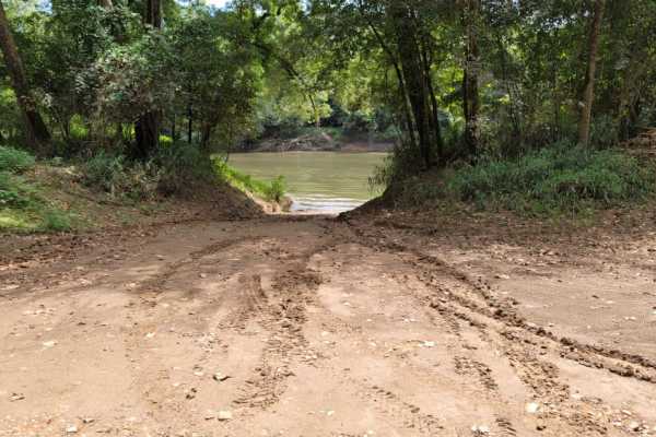
Pond Creek West Side Route
Pond Creek West Side Route offers a scenic, low-difficulty drive through the lush bottomland hardwood forests of the Pond Creek National Wildlife Refuge, making it an excellent option for families, scenic drivers, and outdoor recreationists. Starting just south of Horatio on Bruce Street, this route...
Learn more about Pond Creek West Side Route
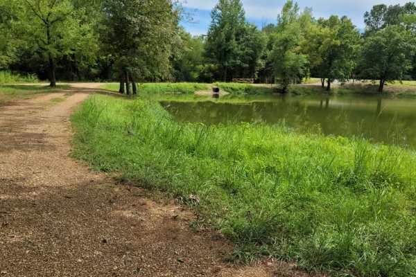
Bell Lake Access
Pond Creek Wildlife Refuge and Bell Lake Access are maintained gravel roads. Roads can be sloppy when wet. Roads dead-end at gates and you have a tight turn around to backtrack. A permit is required and can be obtained online or at the entry gate--https://www.fws.gov/refuge/Pond_Creek/visit/permits....
Learn more about Bell Lake Access
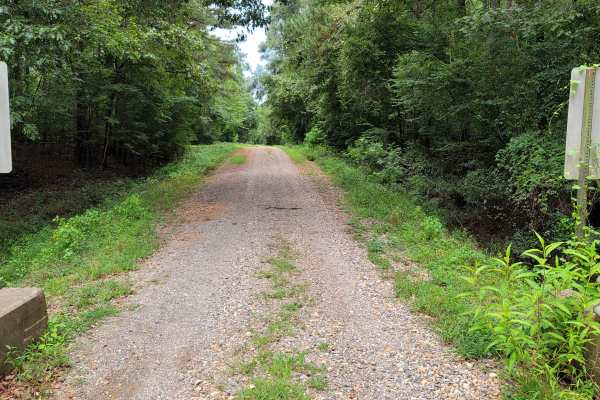
Pond Creek North Side Route
Maintained gravel road in the Pond Creek Wildlife Management Area. Check out this site for rules and regulations. https://www.fws.gov/refuge/pond_creek/. A permit can be obtained online or in box at entry gates. It must be signed and with you. There is free camping in designated areas. Nature viewin...
Learn more about Pond Creek North Side Route
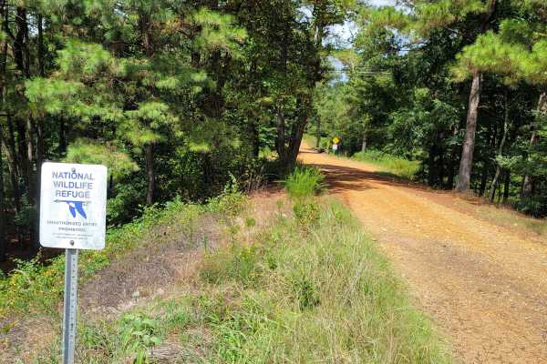
Pond Creek East Side Route
The Pond Creek East Side Route is an easy, scenic gravel drive through the Pond Creek National Wildlife Refuge that is perfect for any skill level looking to explore the banks of the Cossatot River. Beginning just off Highway 59, this route follows River Road westward through a dense canopy of botto...
Learn more about Pond Creek East Side Route
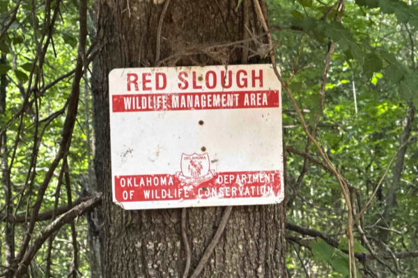
Red Slough
This is a small trail I have wanted to post for years. It is an old Rice Farm from many years ago. The drive is fine and easily accessible by most vehichles, although if it is wet at all then it will require an ATV to handle the mud. The road the finishes the journey is known as "Mudline", and it ea...
Learn more about Red Slough
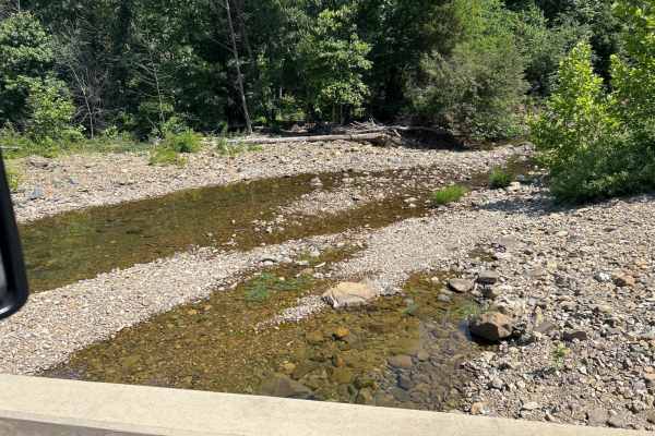
Union Valley Road
This is a basic road with a wonderfully scenic view of the back side of the Broken Bow Lake area. This runs by a wildlife area and is the access road to lots of Forest Service roads and areas. We utilize this as a base road to get to a lot of the "backroads and logging roads" that have been abandone...
Learn more about Union Valley Road
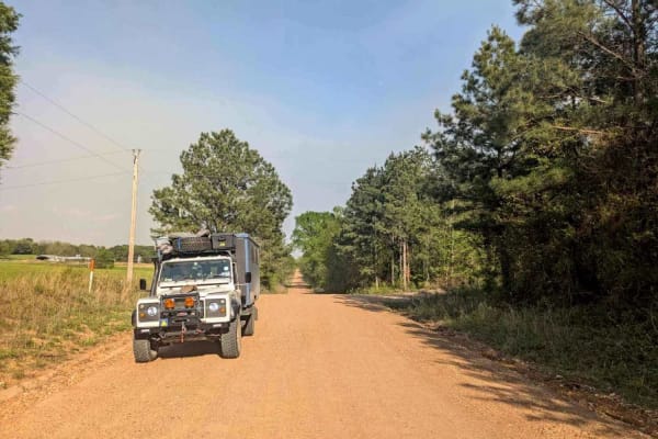
Skipjack Road
This well-maintained gravel trail lies just beyond the logging district and runs parallel to the highway, offering a scenic journey through a charming rural landscape. As the trail winds past a variety of homesteads, chicken farms, and small holdings, it unveils expansive green pastures complemented...
Learn more about Skipjack Road
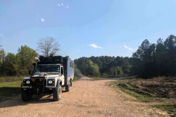
Old Windship Road
This well-maintained gravel trail begins in an agricultural area and gradually leads back into active logging zones. Along the route, there is a relatively steep ascent into a region heavily impacted by fire and logging activities, which has become a popular destination for hunters. Several side tra...
Learn more about Old Windship Road
Tableville Road
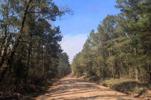
This well-maintained gravel trail begins by leading past charming smallholdings before it gradually enters an active logging area, where logging vehicles frequently travel at speed and caution is necessary. The route broadens into several ascents and descents and can become corrugated in certain sec...
Learn more about Tableville Road
E1970
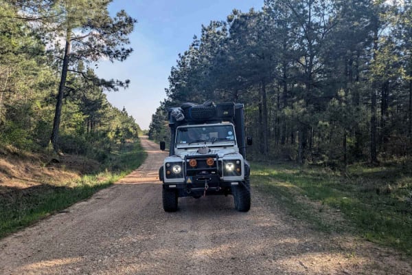
This off-road trail is generally well maintained, although it is narrower than some of the other routes and features rough sections with potholes caused by rainfall. Numerous branching paths extend from the main trail, and the frequent deer sightings suggest that it is popular with hunters. While th...
Learn more about E1970
Follow the Red River
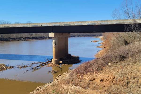
This 30-mile route follows along the Northside of the Red River. This East to West route is almost completely gravel roads. The roads are maintained but can be nasty after or during rains. Although you may not see a lot of the river, you will see lots of pasture land with livestock, creeks with brid...
Learn more about Follow the Red River
Hidden Camp Trail
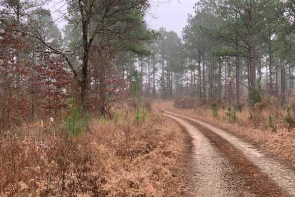
This trail takes you down to several areas where you can camp and hike to Presbyterian Falls on the Mountain Fork River. The trail does not have many hazards till you reach the end. The end is tight with a small water crossing and a muddy portion. The ending campsite is secluded in the trees near th...
Learn more about Hidden Camp Trail
50240 - Tree Valley Trail
This road is a simple two-track and graded dirt road which has no difficult features to traverse. This trail ends at several campsites no matter what road you take. There are several very pretty valleys you will cross campsites to choose from. In periods of heavy rainfall, this road will be muddy.
Learn more about 50240 - Tree Valley Trail
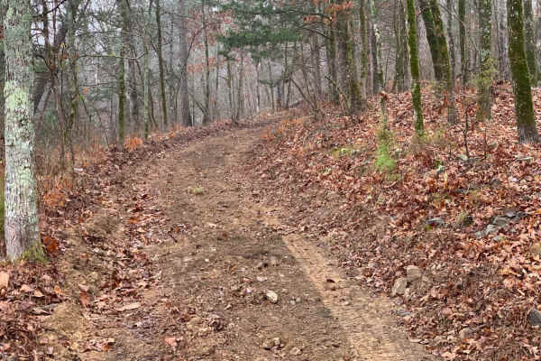
Fish Fry Creek Road
This beautiful trail takes you down to the Mountain Fork River edge. This is one of the few trails in the area that you can actually descend all the way to the water and camp on the banks of the Mountain Fork River. There are some muddy puddles and some spots of erosion that you will need require te...
Learn more about Fish Fry Creek Road
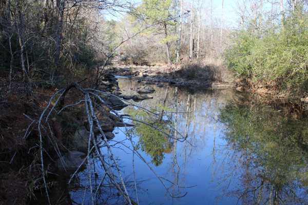
Rock Creek
This dirt and gravel road starts from Highway 70 and will dead end at Rock Creek. The roads can be muddy when wet and very dusty when dry. Most of this area is private property, so stay on the road and get your permits on the website. The ground is rough. This is in WEYCO private-owned land. There a...
Learn more about Rock Creek
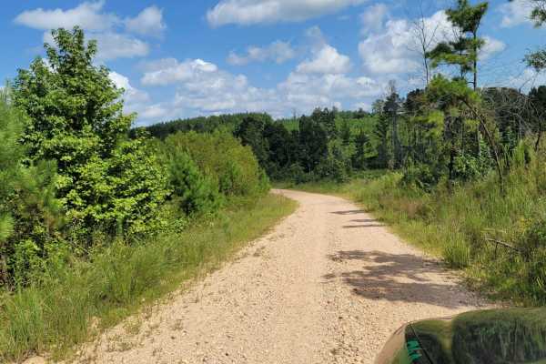
Road 263 to HWY342
This road is loose gravel and very dusty when dry. Some parts are very bumpy. Be aware of logging trucks running these roads. There are some nice inclines and curves in this area. Be mindful that at times gates may be closed for no admittance .
Learn more about Road 263 to HWY342
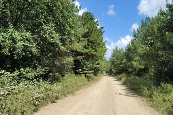
Cut Across to Gillham Road
This is a loose gravel and dirt road leading to Gillham Road, Gillham Lake and Cossatot Reefs Campground. Be aware of hunting and logging trucks. Cell signal is not reliable in these areas. Good tires are needed as sharp rocks and loose dirt will be encountered.
Learn more about Cut Across to Gillham Road
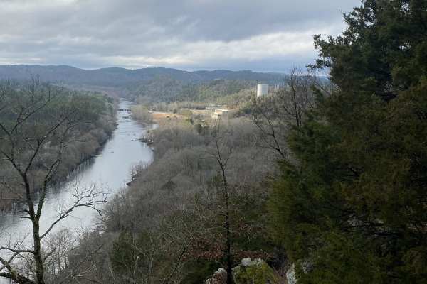
Rattlesnake Bluff
This trail is mostly dirt with some rocks. There are a lot of low spots, typically with 6-12" of water. All of the water holes have rock bottoms. The first section of the road is Leah, also for use by motorized vehicles, but when you reach the 3x4 hog panel fence, you have to hike the rest of the wa...
Learn more about Rattlesnake Bluff
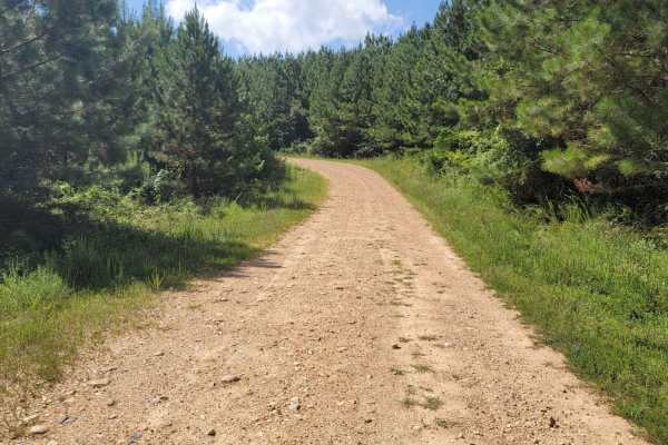
Striking Snake Route
Loose Gravel roads with a few small stream crossings. Concrete bridges cover most of the streams that will be crossed. During heavy rain some areas could be blocked. There are some nice inclines and beautiful views in this area.
Learn more about Striking Snake Route
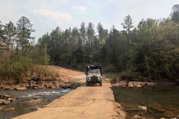
Lim Due Road
This off-road trail is generally well-maintained and crosses through an active logging area. At the outset, the route features a relatively steep descent that leads to a concrete bridge spanning a stream, where camping may be possible nearby. Numerous offshoots extend from the main track, most of wh...
Learn more about Lim Due Road
Beginner ATV trails near Winthrop, Arkansas
Explore ATV-friendly trails near you. These trails are accessible for vehicles up to 50 inches wide, perfect for ATVs and smaller off-road machines.
Union Valley Road
This is a basic road with a wonderfully scenic view of the back side of the Broken Bow Lake area. This runs by a wildlife area and is the access road to lots of Forest Service roads and areas. We utilize this as a base road to get to a lot of the "backroads and logging roads" that have been abandone...
Learn more about Union Valley Road
Skipjack Road
This well-maintained gravel trail lies just beyond the logging district and runs parallel to the highway, offering a scenic journey through a charming rural landscape. As the trail winds past a variety of homesteads, chicken farms, and small holdings, it unveils expansive green pastures complemented...
Learn more about Skipjack Road
Old Windship Road
This well-maintained gravel trail begins in an agricultural area and gradually leads back into active logging zones. Along the route, there is a relatively steep ascent into a region heavily impacted by fire and logging activities, which has become a popular destination for hunters. Several side tra...
Learn more about Old Windship Road
Tableville Road
This well-maintained gravel trail begins by leading past charming smallholdings before it gradually enters an active logging area, where logging vehicles frequently travel at speed and caution is necessary. The route broadens into several ascents and descents and can become corrugated in certain sec...
Learn more about Tableville Road
Beginner UTV/side-by-side trails near Winthrop, Arkansas
Find UTV and side-by-side trails near you. These trails accommodate vehicles up to 60 inches wide, ideal for UTVs, side-by-sides, and wider off-road rigs.
Union Valley Road
This is a basic road with a wonderfully scenic view of the back side of the Broken Bow Lake area. This runs by a wildlife area and is the access road to lots of Forest Service roads and areas. We utilize this as a base road to get to a lot of the "backroads and logging roads" that have been abandone...
Learn more about Union Valley Road
Skipjack Road
This well-maintained gravel trail lies just beyond the logging district and runs parallel to the highway, offering a scenic journey through a charming rural landscape. As the trail winds past a variety of homesteads, chicken farms, and small holdings, it unveils expansive green pastures complemented...
Learn more about Skipjack Road
Old Windship Road
This well-maintained gravel trail begins in an agricultural area and gradually leads back into active logging zones. Along the route, there is a relatively steep ascent into a region heavily impacted by fire and logging activities, which has become a popular destination for hunters. Several side tra...
Learn more about Old Windship Road
Tableville Road
This well-maintained gravel trail begins by leading past charming smallholdings before it gradually enters an active logging area, where logging vehicles frequently travel at speed and caution is necessary. The route broadens into several ascents and descents and can become corrugated in certain sec...
Learn more about Tableville Road
The onX Offroad Difference
onX Offroad combines trail photos, descriptions, difficulty ratings, width restrictions, seasonality, and more in a user-friendly interface. Available on all devices, with offline access and full compatibility with CarPlay and Android Auto. Discover what you're missing today!
Open Trail Map