Trail Overview
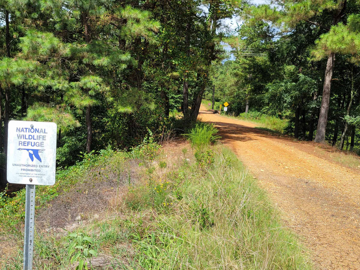
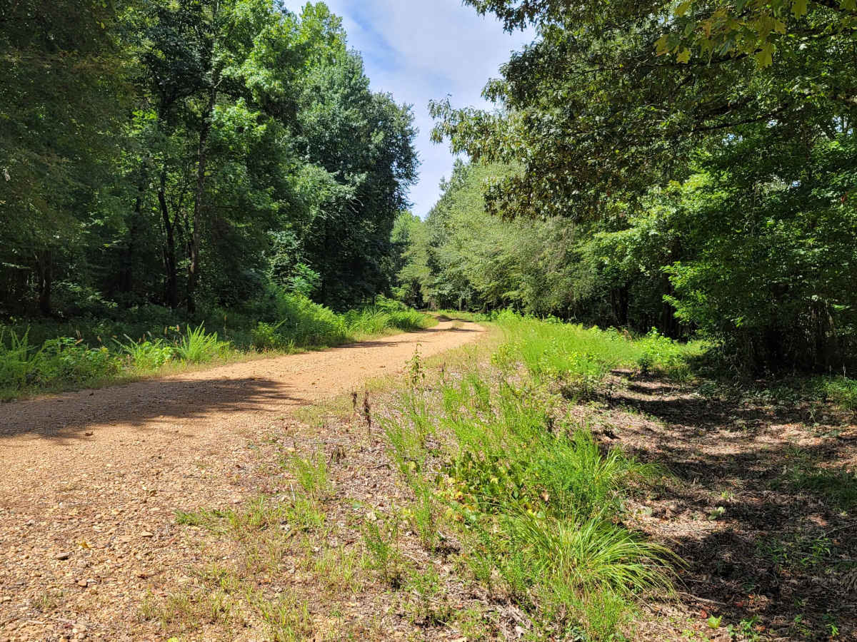
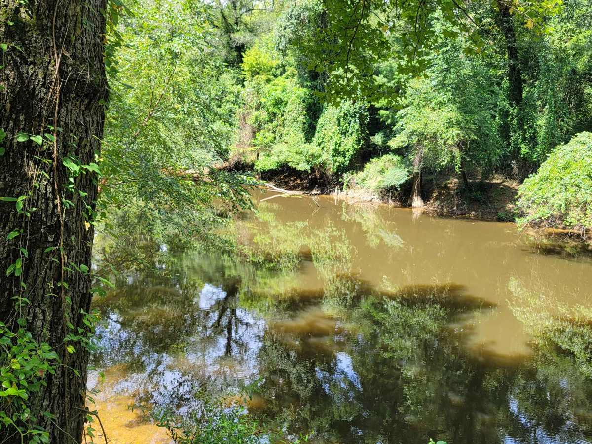
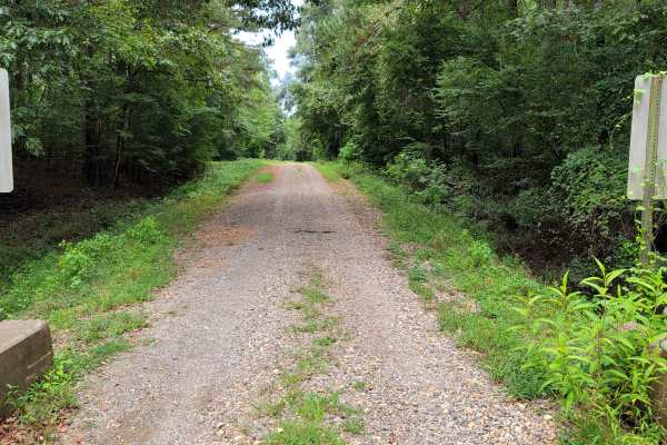
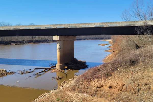
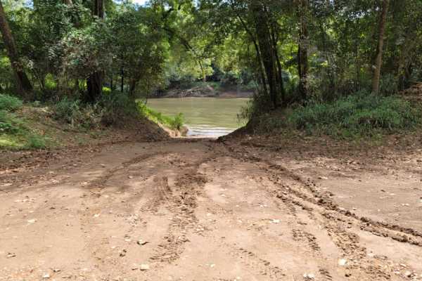
The Pond Creek East Side Route is an easy, scenic gravel drive through the Pond Creek National Wildlife Refuge that is perfect for any skill level looking to explore the banks of the Cossatot River. Beginning just off Highway 59, this route follows River Road westward through a dense canopy of bottomland hardwoods before reaching its end at Millers Crossing. The trail is highly accessible, accommodating everything from standard two-wheel-drive vehicles under dry conditions to high-clearance rigs, SxSs, and four-wheel-drive vehicles. While the road is mostly flat, some embedded rocks can create a bumpy ride, meaning drivers in lower-clearance passenger cars should take their time.
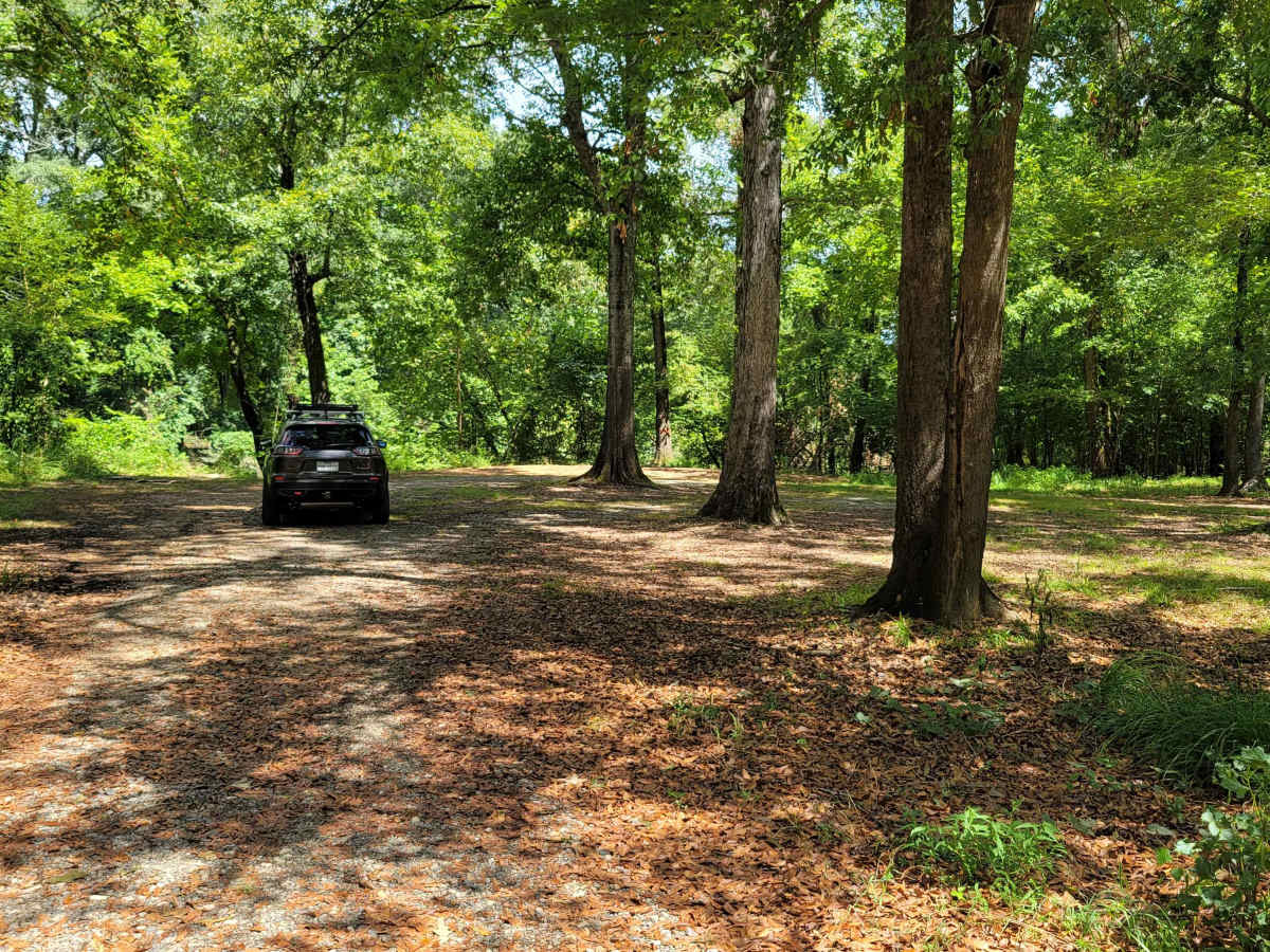
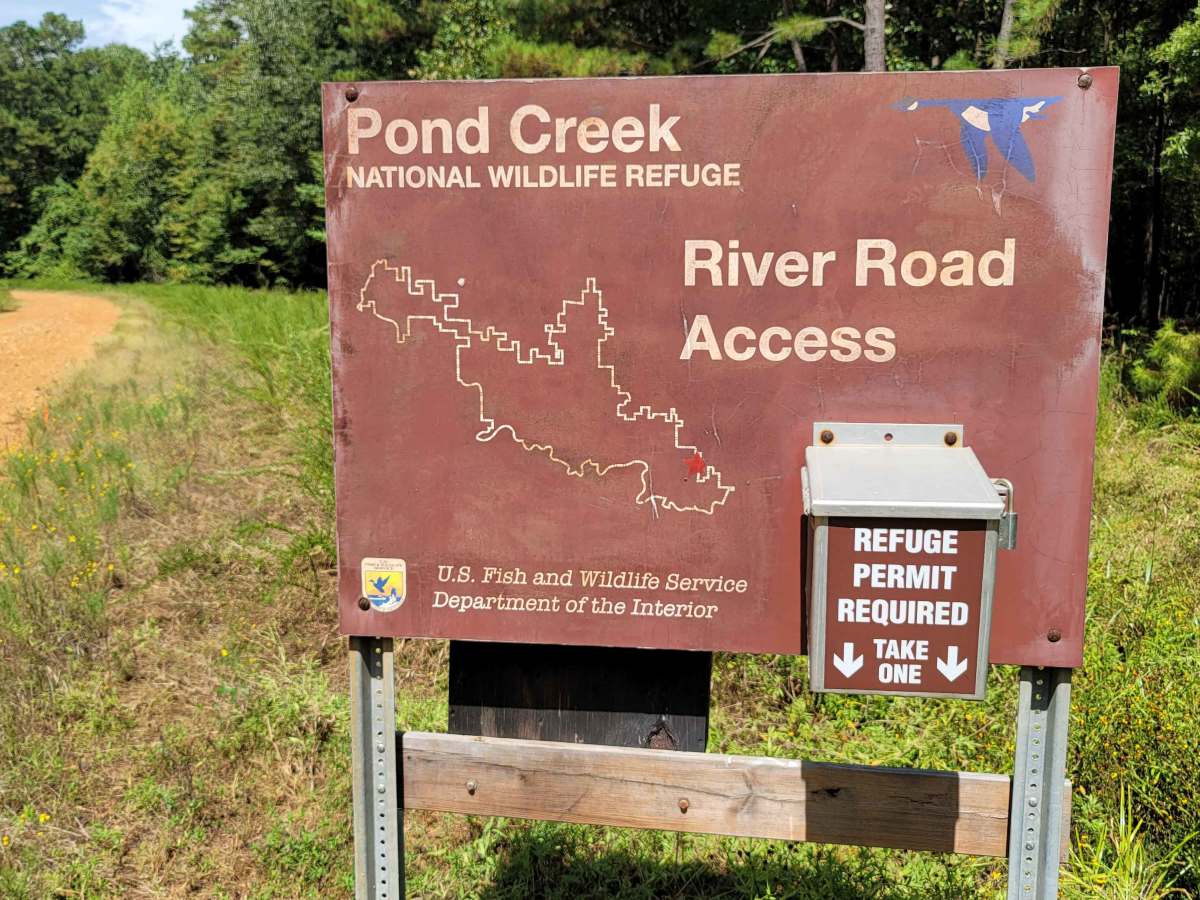
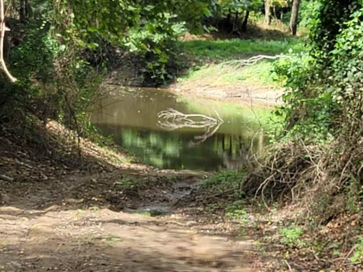
Because of its proximity to the river basin, the gravel surface can quickly turn slick and sloppy during wet weather, making a four-wheel-drive vehicle highly recommended after heavy rain. Scattered primitive camping sites along the route offer excellent opportunities to set up camp and enjoy the peaceful surrounding wilderness. Visitors are required to obtain a refuge public use permit before entering, which can be easily secured online or at the entry gate where full instructions are posted. To preserve the wildlife habitat, offroaders must adhere to the pack-it-in, pack-it-out rule and stay on the designated trail.