Trail Overview
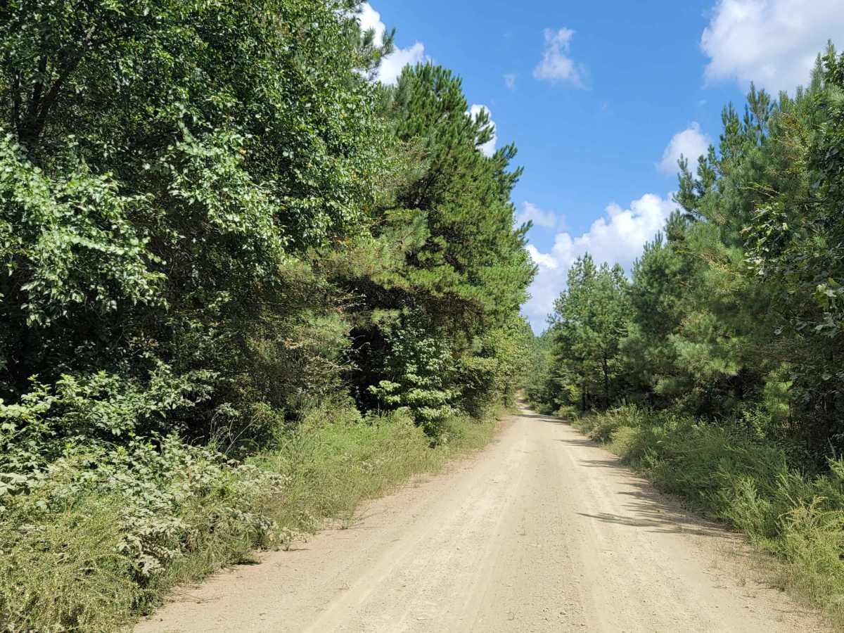
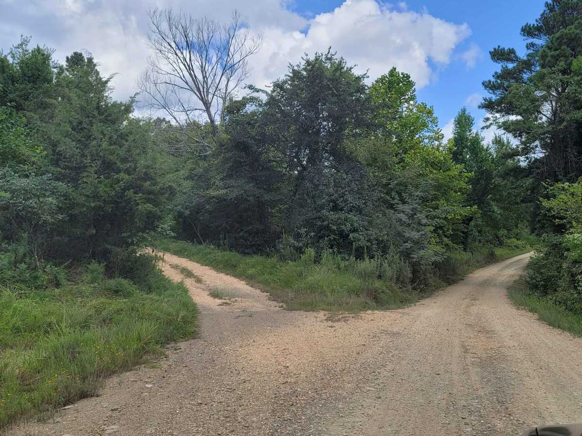
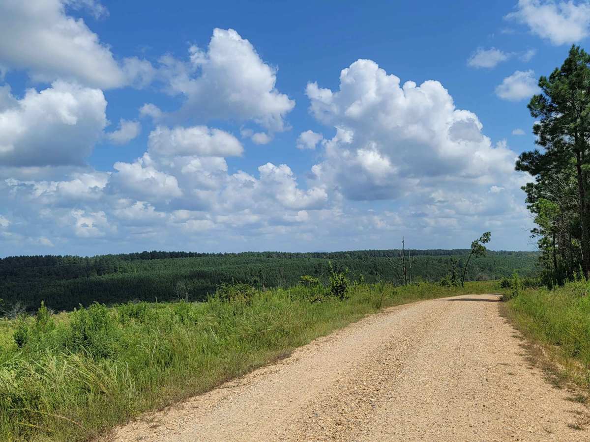
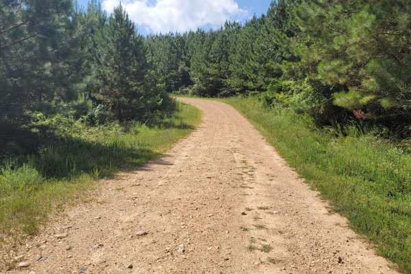
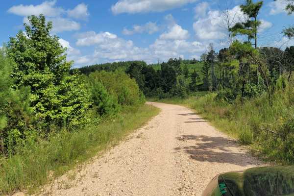
Cut Across to Gillham Road is an approachable yet scenic 6.5-mile unpaved connector perfect for beginner offroaders, SxSs, and high-clearance four-wheel-drive vehicles seeking a direct route toward Gillham Lake. Winding through the dense woodlands of Howard and Sevier counties, this trail offers a straightforward journey with a cumulative elevation gain of 464 feet, topping out at 803 feet. The terrain consists primarily of loose gravel and dirt, though drivers should remain alert for sharp rocks that demand durable tires. It provides an efficient overland link that bridges local forest roads directly to Gillham Road and the camping areas surrounding the lake.
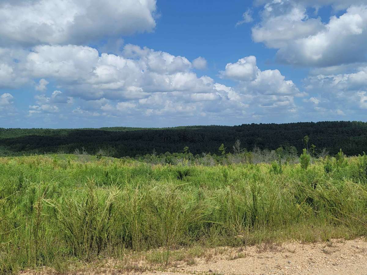
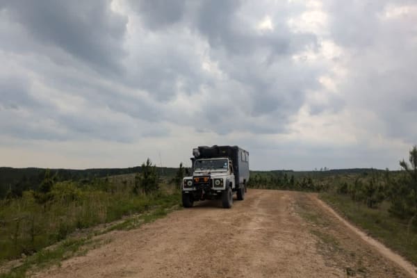
With a technical rating of 3, the route is highly accessible but presents occasional challenges during inclement weather, when dirt sections turn into slick mud and low-lying areas risk minor flooding. Offroaders should expect encounters with logging trucks and hunters, making cautious speeds and defensive driving essential. Cell service is highly unreliable throughout this forested corridor, so downloading offline maps prior to departure is strongly recommended. Whether heading to the Cossatot Reefs Campground or just exploring the scenic Ozark-adjacent foothills, this trail delivers a reliable, scenic connection with plenty of opportunities to spot local wildlife.