Trail Overview
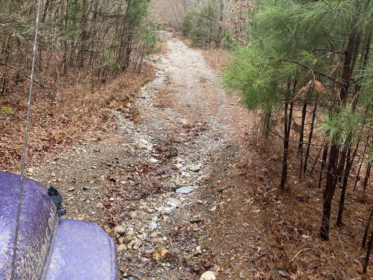
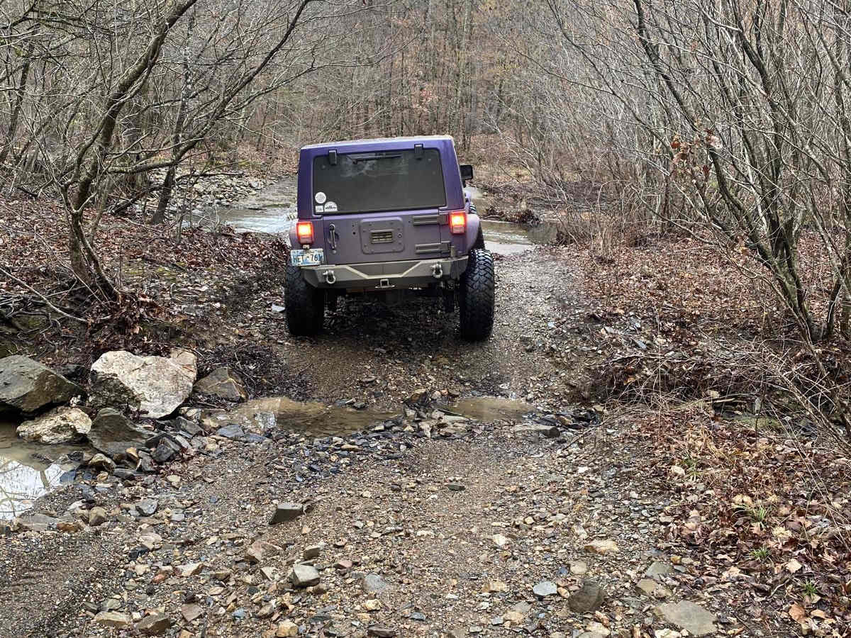
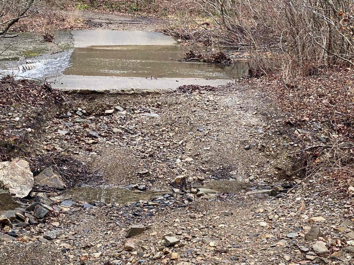
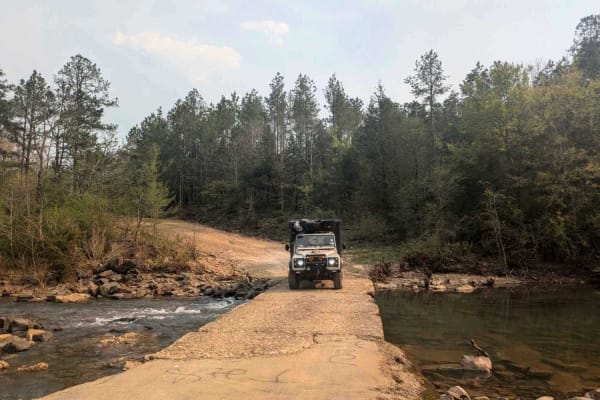
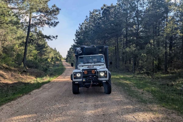
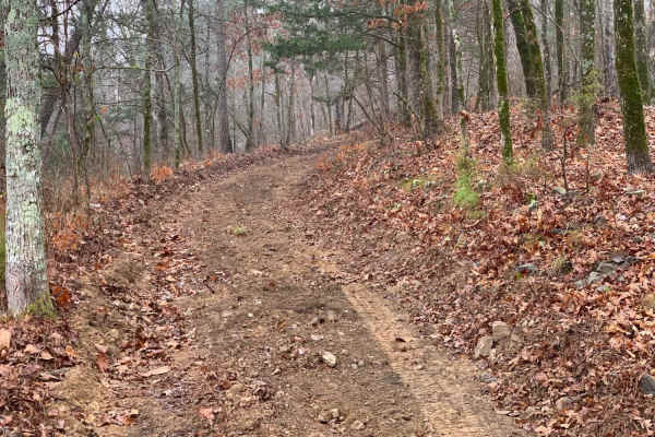
Rattlesnake Bluff is an appealing, scenic trail for offroaders seeking a mild yet engaging route through the dense woodlands near Broken Bow Lake. Measuring approximately 4 miles in length with a minimal elevation change, this route is ideal for stock high-clearance four-wheel-drive vehicles, SxSs, and dirt bikes looking for a manageable adventure. The trail surface consists primarily of dirt with scattered rocks, punctuated by multiple low spots that typically hold six to twelve inches of water. These water holes feature stable, rock-bottom bases, ensuring reliable traction as you wade through. Navigation is straightforward, but drivers should remain alert for a washed-out, unmaintained low-water bridge that presents slightly off-camber angles and may require careful tire placement.
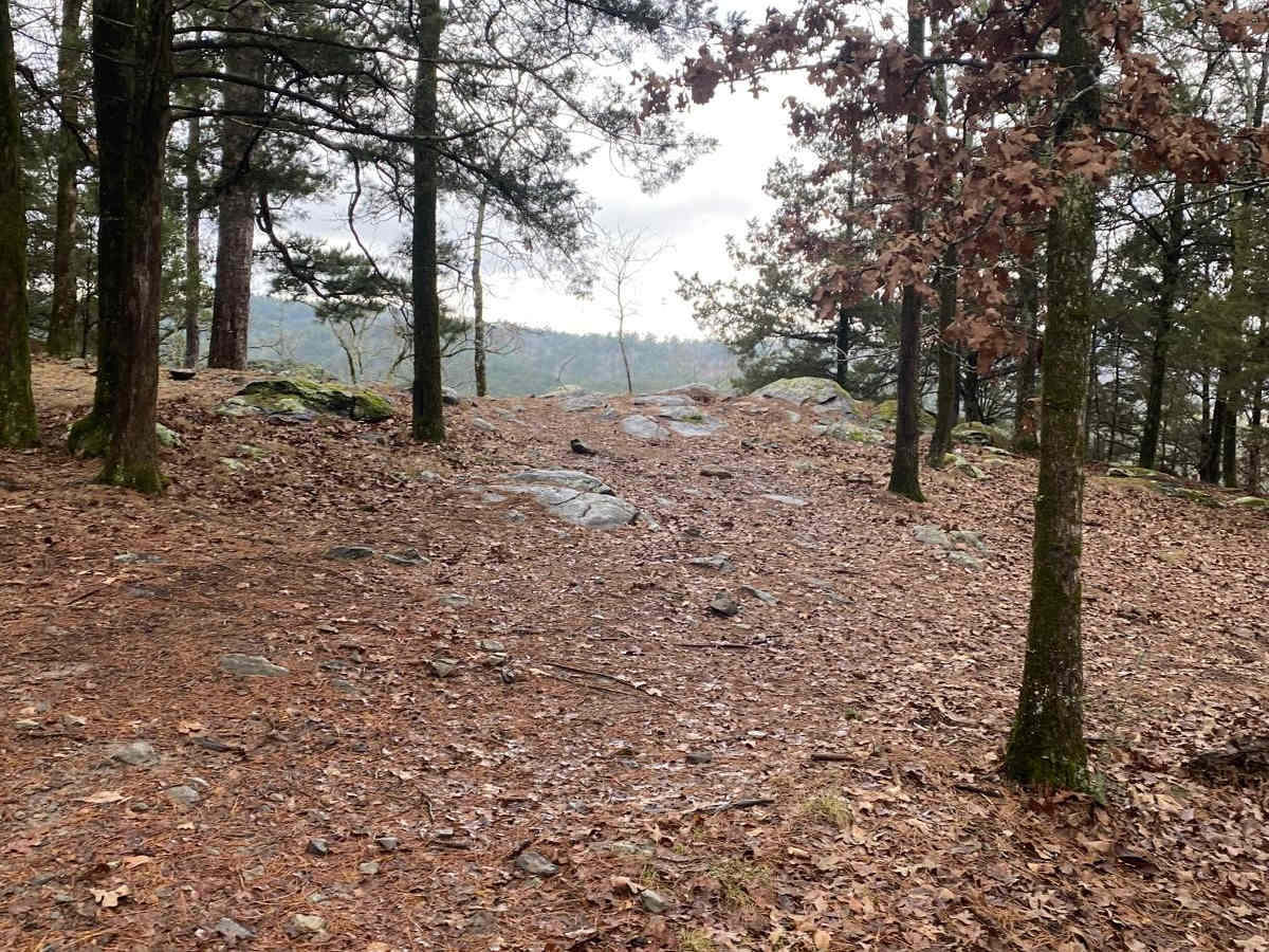
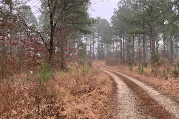
While stock four-wheel-drive vehicles can successfully negotiate the terrain with cautious driving, some sections might prove challenging without proper clearance and low-range capabilities. The initial portion of the route follows Leah Road, which is open to motorized use, but the drivable trail ends at a three-by-four-foot hog panel fence, requiring visitors to hike the remaining distance to reach the overlook area. Dispersed overnight camping is permitted along the route, offering a rustic experience under the canopy, provided that campers pack out all trash and respect the local environment. With a technical rating of 3, this route offers the perfect blend of lush forest scenery and moderate obstacles, making it a must-visit destination for those exploring southeastern Oklahoma.
Access Description
Overnight camping is permitted along the route, but visitors must pack out all trash. Motorized vehicle access is allowed along the first portion (Leah Road) but terminates at the three-by-four-foot hog panel fence, where visitors must proceed on foot.