
Beginner Off-Road Trails
Near Wickenburg, Arizona
Explore All Beginner Trails Near Wickenburg, Arizona
Beginner Off-Road Trails Near Wickenburg, Arizona
Discover the best beginner-friendly off-road trails near you. These easier, lower-rated trails are a great place to start — browse trail maps, check difficulty ratings, and find your next adventure.
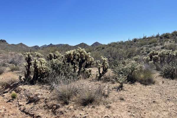
Lower Scenic Loop Road
This is the eastern section leading from town out to the network of trails in the area. It begins in a residential area then progresses to the wild all the while remaining graded washboard and about two cars wide. Please be mindful of dust when passing the houses and ranches. There could be horses a...
Learn more about Lower Scenic Loop Road
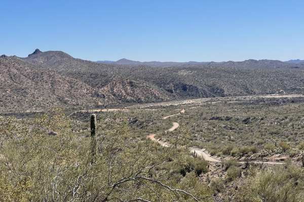
The Rincon Cutover
The Rincon Cutover is an easy, 1.6-mile off-road trail near Wickenburg, Arizona, that offers scenic valley views and acts as a convenient connector between local residential areas and the popular Scenic Loop. Ideal for beginners, families, and high-clearance four-wheel-drive vehicles, SxSs, and dirt...
Learn more about The Rincon Cutover
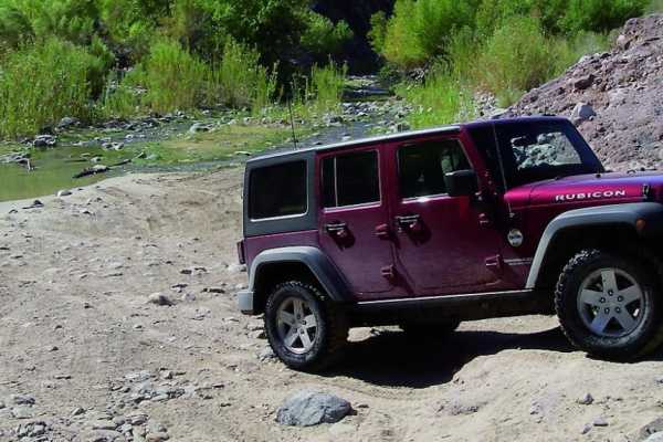
Box Canyon at Hassayampa River
Box Canyon at Hassayampa River is a scenic, beginner-friendly route near Wickenburg, Arizona, that treats offroaders to a unique journey through a dramatic red-rock canyon. This 4.5-mile trail is highly accessible, making it an excellent choice for stock high-clearance four-wheel-drive vehicles, SxS...
Learn more about Box Canyon at Hassayampa River
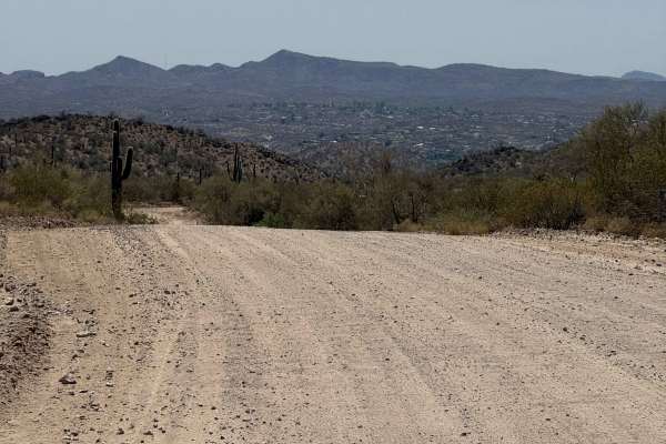
Constellation Road
The route traverses a semi-maintained dirt road through Arizona State Trust Land, functioning as a point-to-point corridor, and offering access to additional recreational opportunities. Several spur trails provide further opportunities for adventure. Rustic camping options are available. Travelers s...
Learn more about Constellation Road
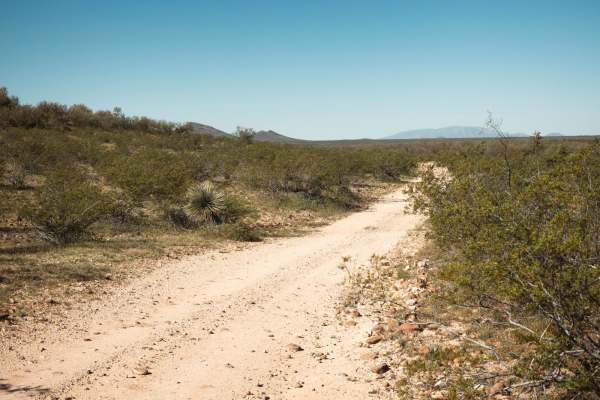
Black Hills Loop
The Black Hills Loop Trail is a great, fun trail. It starts wide but quickly narrows as you approach the train tracks. Running along the fence line, there are some areas where paint damage is guaranteed. Dropping into the wash is one of the highlights of this trail. The wash is deep sand, with spora...
Learn more about Black Hills Loop
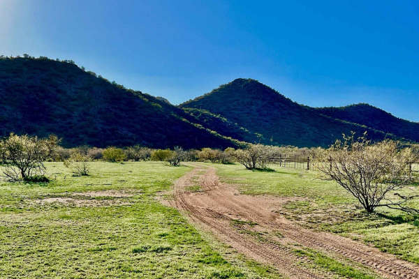
Black Mountain East
This is a beautiful, easy trail on the east side of Black Mountain. Access off Highway 60 is through a wire gate. Livestock graze in the area, and there is signage to keep gates closed. Horses are among the livestock roaming the area. There is a gatekeeper to get up past the wire gate. After that, t...
Learn more about Black Mountain East
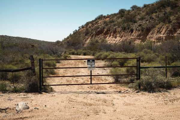
Scratchy Scratch
This trail starts with a ton of fun and ends with paint damage. The southern section is a wide wash with plenty of room to navigate. At its southern terminus, you'll find a fence across the main wash and a locked gate at the adjacent access point. Headed north, once you cross the main road, there ar...
Learn more about Scratchy Scratch
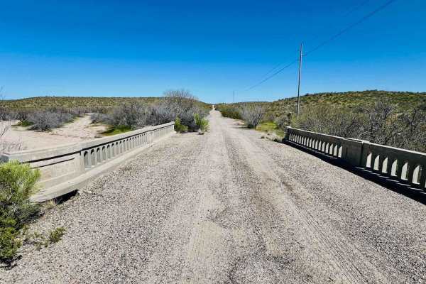
Ye Old Highway
This route appears to be once paved and well-traveled--possibly even an old section of Highway 60 between Salome and Wickenburg. It leads off the current highway back to a locked gate at the private property line. It provides access off the highway to other trails in the area through a chained but u...
Learn more about Ye Old Highway
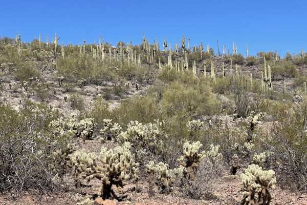
Black Hills, Box Canyon and Beyond
This mostly graded trail ends at Hassayampa River on one end and the other at the transition to the more difficult section of the Scenic Loop. In winter and rodeo season there will be lots of traffic from one of the ranches near the end. Generally, there is room for oncoming traffic to pass. Use ex...
Learn more about Black Hills, Box Canyon and Beyond
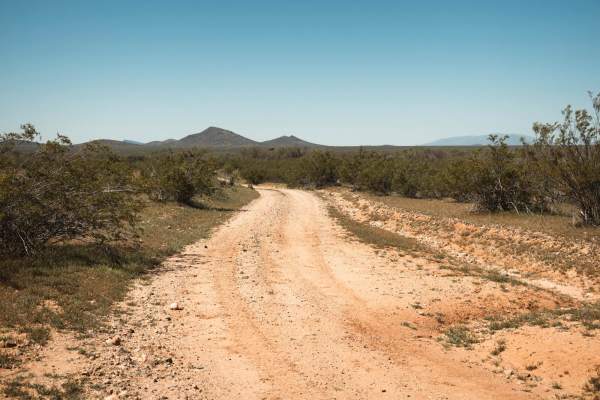
Knight Tank Passerby
The Knight Tank Passerby trail is a smooth and flowy trail that is predominately packed dirt. There are no major obstacles on this trail and only a few spots of erosion and wash crossings. There is no cell service in this area, so offline maps are essential. This area is also Arizona State Trust Lan...
Learn more about Knight Tank Passerby
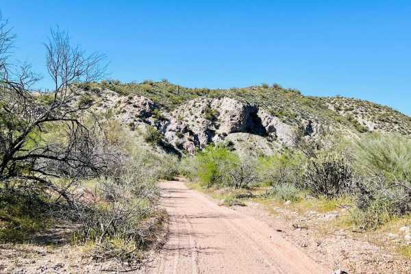
Turtleback Wash
This trail can be picked up from the town of Wickenburg at the Kerkes trailhead. The entrance to this trail that drops down into the Hassayampa River wash is relatively narrow. It is just large enough for side-by-side and smaller 4x4s. There may be other access areas points into the Hassayampa River...
Learn more about Turtleback Wash
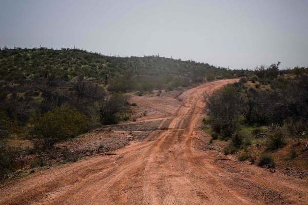
North Vulture Peak Road
This is a 1.5-mile-long section of full-width dirt road that accesses the Vulture Mine Recreation Area and a ton of dispersed camping spots on Arizona State Trust Land. It has some uneven ruts, is a bit loose, has some small hills, and crosses a small wash in the beginning, but is pretty accessible ...
Learn more about North Vulture Peak Road
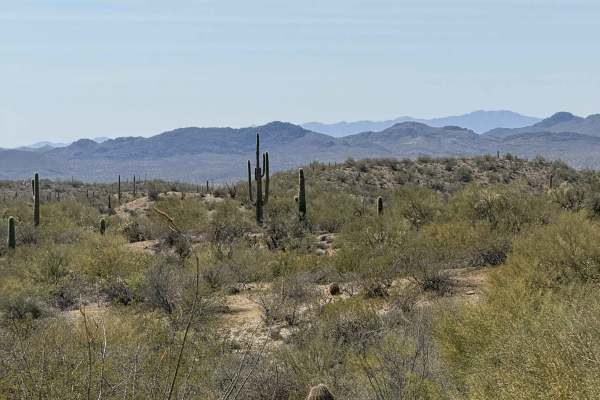
Old Stage Road
Old Stage Road is a versatile point-to-point trail suitable for starting from either end. The route winds through striking desert landscapes, connecting North Castle Hot Spring Road with Constellation Road. Along the way, adventurers are treated to scenic views of the desert and an immersive natural...
Learn more about Old Stage Road
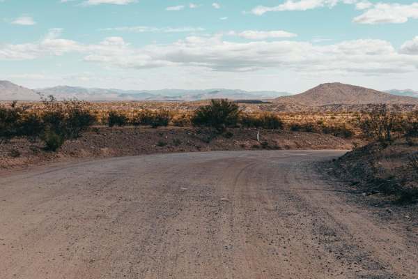
Haul Road
Haul Road is a wide gravel road that can serve as an access point to a greater area outside of Wickenburg, Arizona. This road gives access to a mine/quarry-type situation at the end of it, so it's not surprising to see heavy truck traffic along this road. There are sections of washboard, but other t...
Learn more about Haul Road
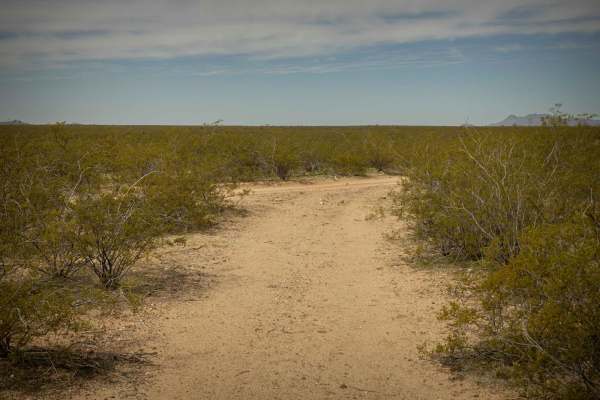
7Mile Island
7Mile Island is a single-lane wide trail with minimal obstacles. There are some wash crossings with steep entrances and exits, but nothing that gets too gnarly. The standard erosion exists on this trail but there are bypasses in place. Creosote lines the southern part of this trail. As you move nort...
Learn more about 7Mile Island
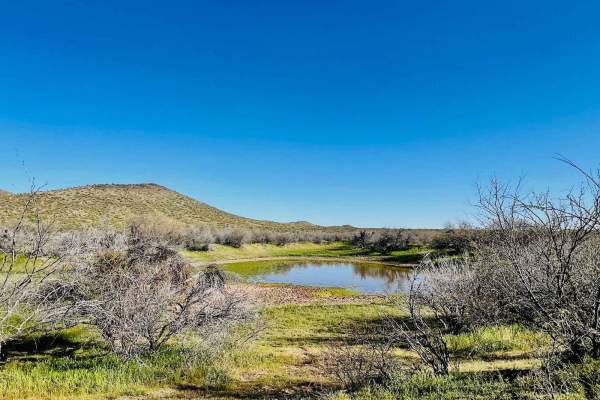
O'Haco Tank
This route runs to and past the O'Haco cattle tank. After a season of good winter storms, some water will be in it. If you're lucky, there may even be some cattle grazing around it. Take caution, as this is an open cattle range. Overall, the trail is easy as it winds through meadows of desert grass ...
Learn more about O'Haco Tank
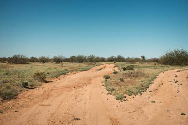
Black Hills Access
The Black Hills Access trail is a one-lane dirt trail with no major obstacles on it. There are some sections of erosion and runoff scars, but nothing a 4x4 can't handle. The trail is lined with creosote and cactus, as well as other undergrowth that is common in the Arizona desert regions. This trail...
Learn more about Black Hills Access
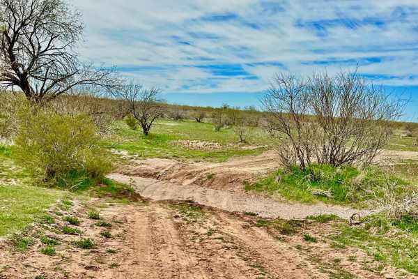
Black Mountain Connector
This trail connects the Black Mountain trails to the 60 to the Tracks Trail. It is narrow in places with large desert trees guaranteed to cause paint damage. The Black Mountain side of this trail is part of a sandy wash. It has a loose, deep, sandy area to get through. There are a couple more washes...
Learn more about Black Mountain Connector
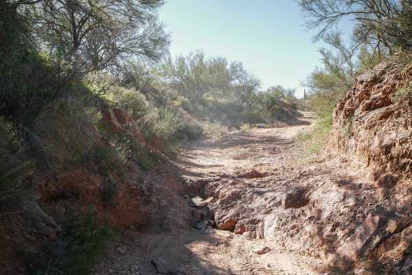
9059
9059 is a 3-mile-long full-width trail in the Vulture Mountains near Wickenburg, Arizona. It's mostly a wide dirt road with loose rocks on the surface, ruts, and uneven ground, and mostly a slight downhill from north to south. It's easy, but you definitely need high clearance to get across big dips ...
Learn more about 9059
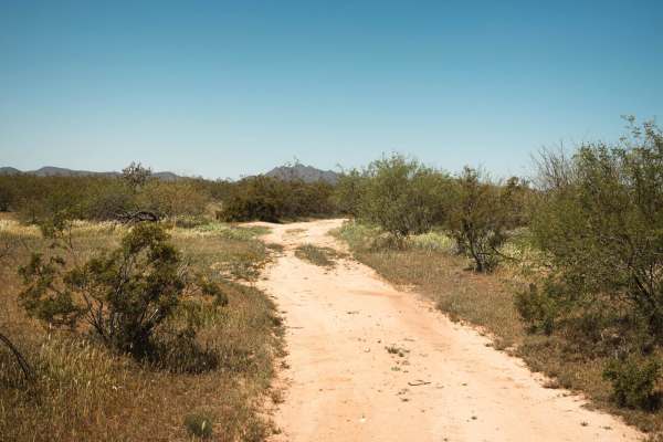
Knight Tank Direct
The Knight Tank Direct Trail is a dirt trail that winds through the creosote and bushes of this section of the Arizona desert. This trail has no major obstacles on it, though it does have one wash crossing that could prove problematic if it keeps eroding and washing out (picture Included). There is ...
Learn more about Knight Tank Direct
Beginner ATV trails near Wickenburg, Arizona
Explore ATV-friendly trails near you. These trails are accessible for vehicles up to 50 inches wide, perfect for ATVs and smaller off-road machines.
Lower Scenic Loop Road
This is the eastern section leading from town out to the network of trails in the area. It begins in a residential area then progresses to the wild all the while remaining graded washboard and about two cars wide. Please be mindful of dust when passing the houses and ranches. There could be horses a...
Learn more about Lower Scenic Loop Road
The Rincon Cutover
The Rincon Cutover is an easy, 1.6-mile off-road trail near Wickenburg, Arizona, that offers scenic valley views and acts as a convenient connector between local residential areas and the popular Scenic Loop. Ideal for beginners, families, and high-clearance four-wheel-drive vehicles, SxSs, and dirt...
Learn more about The Rincon Cutover
Box Canyon at Hassayampa River
Box Canyon at Hassayampa River is a scenic, beginner-friendly route near Wickenburg, Arizona, that treats offroaders to a unique journey through a dramatic red-rock canyon. This 4.5-mile trail is highly accessible, making it an excellent choice for stock high-clearance four-wheel-drive vehicles, SxS...
Learn more about Box Canyon at Hassayampa River
Constellation Road
The route traverses a semi-maintained dirt road through Arizona State Trust Land, functioning as a point-to-point corridor, and offering access to additional recreational opportunities. Several spur trails provide further opportunities for adventure. Rustic camping options are available. Travelers s...
Learn more about Constellation Road
Beginner UTV/side-by-side trails near Wickenburg, Arizona
Find UTV and side-by-side trails near you. These trails accommodate vehicles up to 60 inches wide, ideal for UTVs, side-by-sides, and wider off-road rigs.
Lower Scenic Loop Road
This is the eastern section leading from town out to the network of trails in the area. It begins in a residential area then progresses to the wild all the while remaining graded washboard and about two cars wide. Please be mindful of dust when passing the houses and ranches. There could be horses a...
Learn more about Lower Scenic Loop Road
The Rincon Cutover
The Rincon Cutover is an easy, 1.6-mile off-road trail near Wickenburg, Arizona, that offers scenic valley views and acts as a convenient connector between local residential areas and the popular Scenic Loop. Ideal for beginners, families, and high-clearance four-wheel-drive vehicles, SxSs, and dirt...
Learn more about The Rincon Cutover
Box Canyon at Hassayampa River
Box Canyon at Hassayampa River is a scenic, beginner-friendly route near Wickenburg, Arizona, that treats offroaders to a unique journey through a dramatic red-rock canyon. This 4.5-mile trail is highly accessible, making it an excellent choice for stock high-clearance four-wheel-drive vehicles, SxS...
Learn more about Box Canyon at Hassayampa River
Constellation Road
The route traverses a semi-maintained dirt road through Arizona State Trust Land, functioning as a point-to-point corridor, and offering access to additional recreational opportunities. Several spur trails provide further opportunities for adventure. Rustic camping options are available. Travelers s...
Learn more about Constellation Road
The onX Offroad Difference
onX Offroad combines trail photos, descriptions, difficulty ratings, width restrictions, seasonality, and more in a user-friendly interface. Available on all devices, with offline access and full compatibility with CarPlay and Android Auto. Discover what you're missing today!
Open Trail Map