
Beginner Off-Road Trails
Near West Kill, New York
Explore All Beginner Trails Near West Kill, New York
Beginner Off-Road Trails Near West Kill, New York
Discover the best beginner-friendly off-road trails near you. These easier, lower-rated trails are a great place to start — browse trail maps, check difficulty ratings, and find your next adventure.
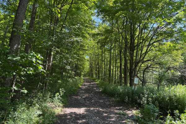
Elevator Shaft Road
This road is known as the elevator shaft because it is a steep climb up one side and a steep climb down on the other. If you start south to north, then you start out climbing loose rocks and washouts for about 1 mile. After you get to the top, there is a flat section for a stretch. Then you start to...
Learn more about Elevator Shaft Road
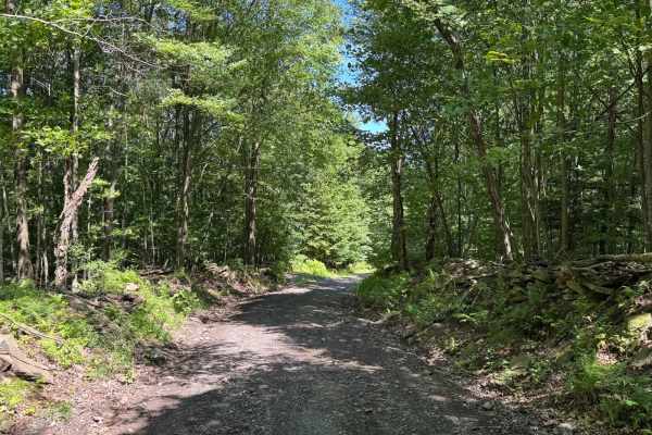
Townsend Hollow Road
This is a non-maintained loose gravel road. There is nothing technical on this road. Some sections are one lane with room to pull over if needed. As you drive through, there are nice stone walls on some of the sections and an old car sitting in the woods.
Learn more about Townsend Hollow Road
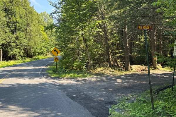
Mill Hollow Road
This is a loose stone and dirt road. This is a short section of road made up of loose stone and gravel. This road follows a river the whole way. There is nothing technical here; there are spots to pull over to let other vehicles go by.
Learn more about Mill Hollow Road

Huntersfield Pathway
Do you want a secluded red dirt trail through a state forest? Look no further. This trail is a two track road through Huntersfield State Forest, with a walking trail to the summit about halfway in. The trail is subject to deep ruts, some water, and medium sized rocks- but most vehicles can get by wi...
Learn more about Huntersfield Pathway
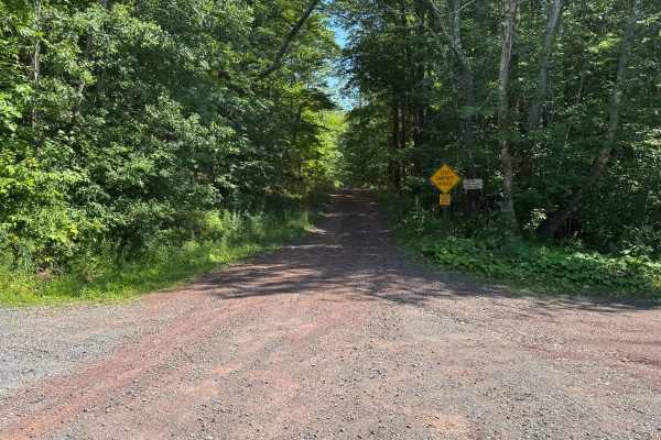
Bluebird Road
This is an unmaintained road primarily made up of loose stone and dirt. Several sections are deeply rutted due to rain-induced washouts. Pull-off areas are limited, and the road is mostly single-lane. After rainfall, a few sections may hold deep puddles.
Learn more about Bluebird Road
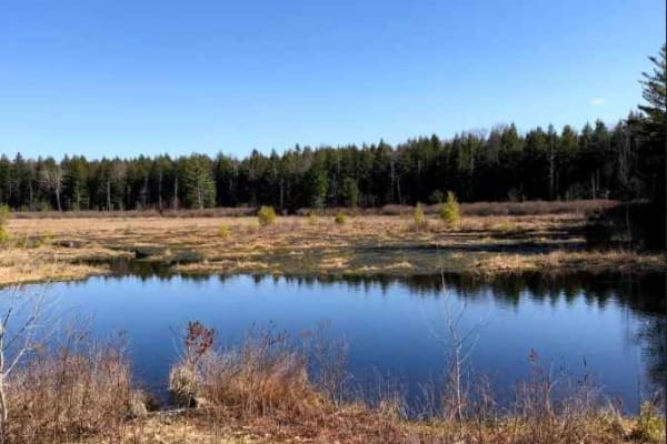
Burnt- Rossman Hill Road
This trail goes through Burnt-Rossman State Forest. It is a mostly maintained dirt road with occasional mud holes or deep ruts in sections. Deep water can accumulate in the ruts in the spring. There is a great primitive camping area Arthur Hopkins campsite on a small pond just off the road.
Learn more about Burnt- Rossman Hill Road
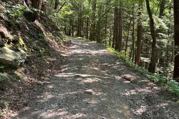
Dave Brown Mountain Road
This scenic trail winds its way through dense forest, offering a mix of shaded stretches and open clearings. It begins as a gravel path before shifting into a blend of loose dirt and scattered rock. Along the way, you’ll encounter a few naturally eroded sections where past rainfall has carved shallo...
Learn more about Dave Brown Mountain Road
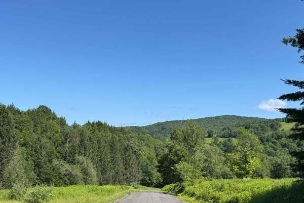
Cross Mountain Road
This is mostly a loose gravel, non-maintained road. There is nothing technical on this road. Some sections follow the river, which is nice. Mostly a one-lane road, but plenty of sections to pull over or just move over enough for two vehicles to go.
Learn more about Cross Mountain Road
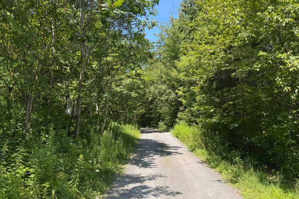
Burnt Hill Road
This is a loose gravel road with no technical obstacles, making it easily drivable under most conditions. A few moderate-sized puddles may form after rainfall, often muddy but generally manageable. There are ample pull-off areas throughout, and some sections are wide enough to accommodate two vehicl...
Learn more about Burnt Hill Road
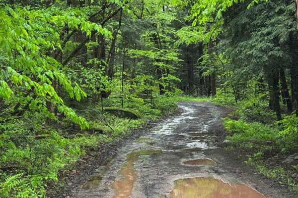
Basily Road
This trail started on packed dirt and gravel but changed to loose gravel and mud. This trail has limited pullouts to let vehicles pass. The hills are slick from washouts from the rain. The trail also gets very wet. When it rains, it has a lot of deep mudholes, and sections of the trail have water fl...
Learn more about Basily Road
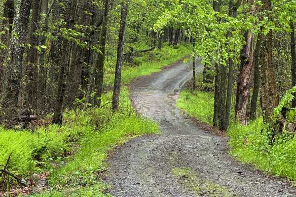
Barnes Road
This trail is a public road that is not maintained. It is a mix of packed and loose gravel with a few sections of puddles and rocks. It will be a little slick on rainy days, and some water will run down. There is nothing too technical here, and it is a one-lane trail with several spots to. Beautiful...
Learn more about Barnes Road
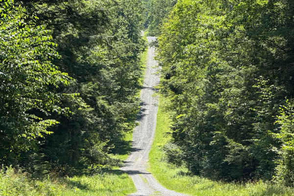
Morey Road
This easily navigable road has numerous wide sections that allow for pulling over to pass oncoming traffic. Along the route, you'll find access to several hiking trailheads and a designated parking area. Notably, an old cemetery is located near the beginning of the road, adding a touch of local hist...
Learn more about Morey Road
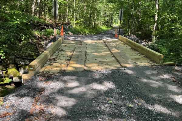
Shin Creek Road
This is a loose gravel back road. There is nothing technical on this road. It follows a river and there is a small bridge crossing with a small waterfall. For the most part, it is a one-vehicle-width road with some areas to pull over.
Learn more about Shin Creek Road
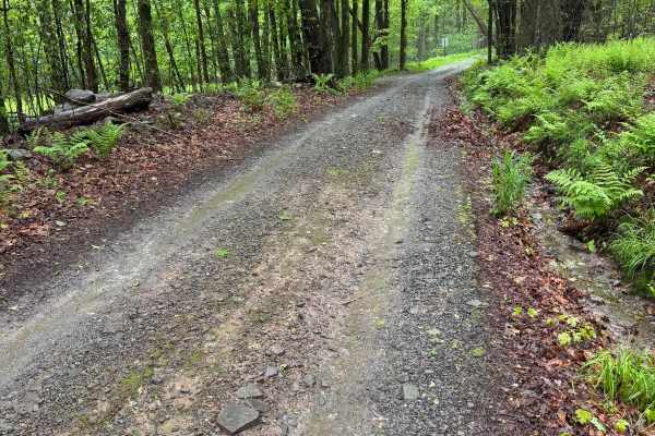
Moore Hill Road
This trail is a public road that is not maintained. It is a mix of packed and loose gravel with a few sections of puddles and rocks. There is nothing too technical here, and it is a one-lane trail with several spots to pull over. On rainy days, it will be a little slick, and some water will run down...
Learn more about Moore Hill Road
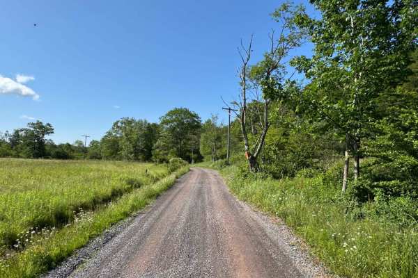
Mary Smith Hill Road
This is loose gravel and dirt. Nothing technical on this road. There are some sections that are just wide enough for one vehicle, with some spots to pull over. Along the way beautiful views of the mountains. Any vehicle can do this road.
Learn more about Mary Smith Hill Road
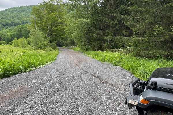
Skunk Hollow Road
This is a loose gravel, non-maintained road. There is nothing too technical; there are some sections that are single track, but there are pullovers to let vehicles go by. The beginning of the road had some houses on it, then turned to loose stone with nothing around.
Learn more about Skunk Hollow Road
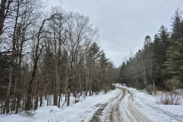
Cook Hill Road
The trail consists of a broad gravel base that is regularly maintained by the state. Like other trails in this area, there is active logging occurring at all times of the year, so always keep an eye out for trucks and other equipment. Several stone foundation ruins can be found along this route, inc...
Learn more about Cook Hill Road
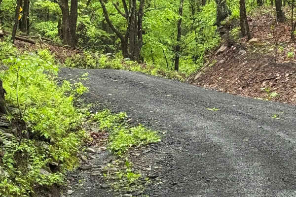
Denman Mountain Rd
This is a mix of packed and loose gravel. It is flat for the most part, nothing technical. There are several spots to pull over to let other vehicles go. The trail is a public town road that is not maintained and goes through a beautiful area.
Learn more about Denman Mountain Rd
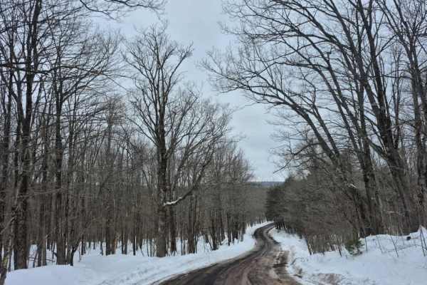
Peasley Road
The trail consists of a broad gravel base that is regularly maintained. Drivers can expect a stable surface with minimal challenges. Logging operations are common in this area, so the road may be freshly plowed or graded to accommodate the logging trucks and heavy equipment. At the western end of th...
Learn more about Peasley Road
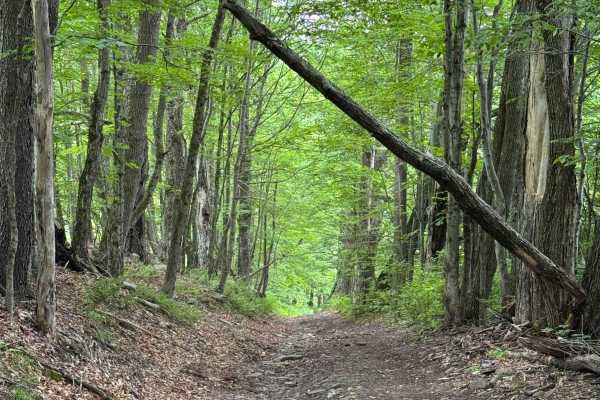
West Murphy Hill Road
This started as a loose gravel road as you started climbing the hill. It then turned to a mix of gravel and mud, which changed to full mud as you were finishing the climb. The trail then changed to a single lane through the woods. It was a lot of washed-out sections with loose rocks. At the time a l...
Learn more about West Murphy Hill Road
Beginner ATV trails near West Kill, New York
Explore ATV-friendly trails near you. These trails are accessible for vehicles up to 50 inches wide, perfect for ATVs and smaller off-road machines.
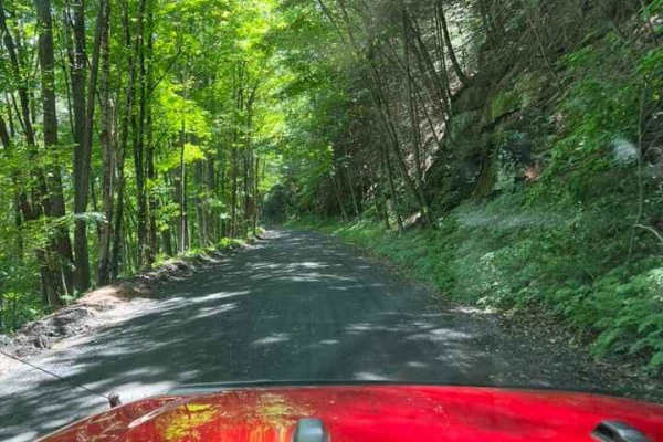
T-743/T-727
The trail starts off in Poyntelle as Township-727 and in Winterdale as T-743. This section of the O and W Trail is a recognized Township route open to street-licensed 4x4s. The trail follows the former route of the Ohio and Western Railroad. Multiple former stations can be observed along the route. ...
Learn more about T-743/T-727
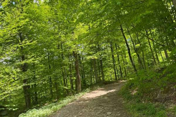
Big Valley Road
Big Valley Road offers a scenic and highly accessible offroad driving experience for novice drivers and seasoned explorers alike, serving as a tranquil passage through Pennsylvania's dense State Game Lands. Stretching approximately 2.2 miles, this winding forest road climbs from an elevation of 1,29...
Learn more about Big Valley Road
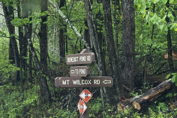
Mount Wilcox Road
Mount Wilcox Road is the main loop that meanders through Beartown State Forest. The loop is 4.3 miles and climbs from 1,600 feet to 2,100 feet. The trail begins and ends off Benedict Pond Road. Halfway through the route from either direction is a short spur that breaks off and provides access to the...
Learn more about Mount Wilcox Road
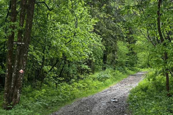
Sky Peak Road
Sky Peak Road is a short connector between Beartown Mountain Road and Wilcox Mountain Road. The trail begins from Beartown and climbs from 1760 to 1900 feet in the short 0.7 miles of the trail over loose rock. The trail is well-graded in most sections, with some showing exposed rock. The trail ends...
Learn more about Sky Peak Road
Beginner UTV/side-by-side trails near West Kill, New York
Find UTV and side-by-side trails near you. These trails accommodate vehicles up to 60 inches wide, ideal for UTVs, side-by-sides, and wider off-road rigs.
T-743/T-727
The trail starts off in Poyntelle as Township-727 and in Winterdale as T-743. This section of the O and W Trail is a recognized Township route open to street-licensed 4x4s. The trail follows the former route of the Ohio and Western Railroad. Multiple former stations can be observed along the route. ...
Learn more about T-743/T-727
Big Valley Road
Big Valley Road offers a scenic and highly accessible offroad driving experience for novice drivers and seasoned explorers alike, serving as a tranquil passage through Pennsylvania's dense State Game Lands. Stretching approximately 2.2 miles, this winding forest road climbs from an elevation of 1,29...
Learn more about Big Valley Road
Mount Wilcox Road
Mount Wilcox Road is the main loop that meanders through Beartown State Forest. The loop is 4.3 miles and climbs from 1,600 feet to 2,100 feet. The trail begins and ends off Benedict Pond Road. Halfway through the route from either direction is a short spur that breaks off and provides access to the...
Learn more about Mount Wilcox Road
Sky Peak Road
Sky Peak Road is a short connector between Beartown Mountain Road and Wilcox Mountain Road. The trail begins from Beartown and climbs from 1760 to 1900 feet in the short 0.7 miles of the trail over loose rock. The trail is well-graded in most sections, with some showing exposed rock. The trail ends...
Learn more about Sky Peak Road
The onX Offroad Difference
onX Offroad combines trail photos, descriptions, difficulty ratings, width restrictions, seasonality, and more in a user-friendly interface. Available on all devices, with offline access and full compatibility with CarPlay and Android Auto. Discover what you're missing today!
Open Trail Map