
Beginner Off-Road Trails
Near Webberville, Michigan
Explore All Beginner Trails Near Webberville, Michigan
Beginner Off-Road Trails Near Webberville, Michigan
Discover the best beginner-friendly off-road trails near you. These easier, lower-rated trails are a great place to start — browse trail maps, check difficulty ratings, and find your next adventure.
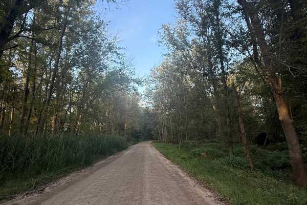
West Schafer Trail
West Schafer Trail is an easy 1.5-mile bidirectional trail. Located off Pingree Rd, you'll find the beginning of the trail, making it easily accessible. Starting from the western end, you'll begin on a mostly dirt road with towering trees completely surrounding it. Shortly into this track, the trail...
Learn more about West Schafer Trail
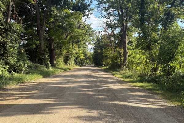
Bently Lake Trail
Bently Lake Trail is a 4-mile bidirectional trail within the Michigan Department of Natural Resources. Located just south of Marion Township between Highway 96 and 94, this trail is easily accessible. Starting from the northern end of Bently Lake Road, you'll start out in a thick section of trees wi...
Learn more about Bently Lake Trail
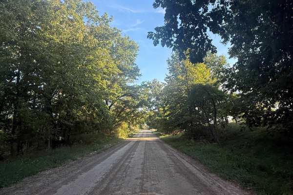
Hinchey Trail
Hinchey Trail is an easy 2.5-mile bidirectional trail just outside of the Michigan Department of Natural Resources. Located between Cedar Lake Trail and Pigmee Trail, you'll find this trail, making it easily accessible and easy to combine with other nearby trails to make for a fun day. Starting from...
Learn more about Hinchey Trail
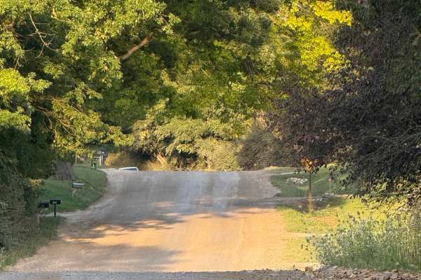
East Schafer Trail
East Schafer Trail is a unique and scenic 1-mile bidirectional trail. Located between Cedar Lake Trail and Bently Lake Trail, this trail is easily accessible and breathtaking. Starting from the western end, you'll start out on a mostly dirt road that slowly transitions to dirt/gravel. There are a fe...
Learn more about East Schafer Trail
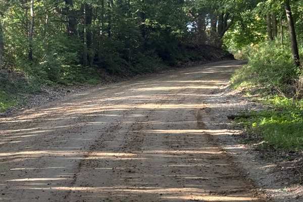
Pingree Trail
Pingree Trail is a unique and scenic 2.5-mile trail just outside of the Gregory State Game Area. Located just to the west of Putnam Township, you'll find the trail off M-36, making it easily accessible. Starting out the trail is a mixture of dirt and gravel. Shortly after, the trail transitions into...
Learn more about Pingree Trail
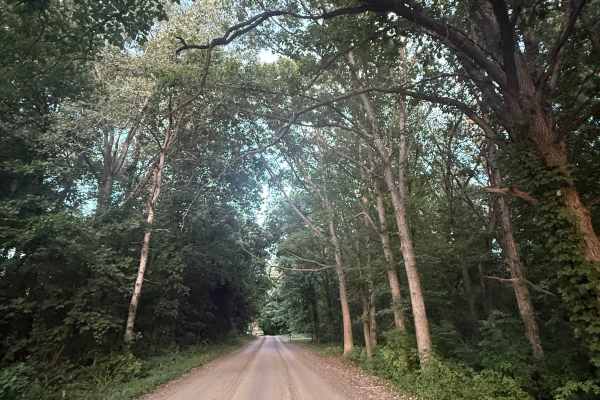
Brighton Trail
Brighton Trail is an exciting and fun bidirectional 3-mile road just outside of the Brighton State Rec Area. Located just south of both Coon and Pardee Lake, this trail is easily accessible. Starting from the western end of Pinckey Road, you'll start out in a thick section of trees with lush vegetat...
Learn more about Brighton Trail
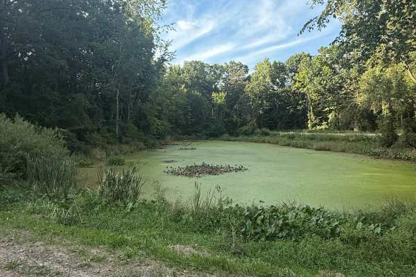
Spears Trail
Spears Trail is a unique and scenic bidirectional trail within the Gregory State Game Area, right off the Michigan Department of Natural Resources. Located directly off Cedar Lake Road, this trail is easily accessible. Starting from the eastern end, you'll start out on a gravel and dirt road. This t...
Learn more about Spears Trail
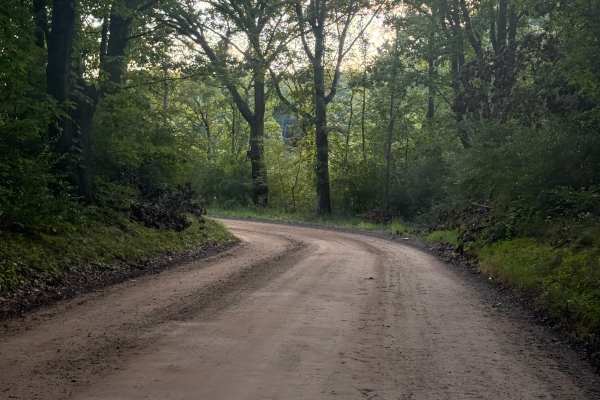
Gawley Trail
Gawley Trail is a unique and scenic 2.5 bidirectional trail. Located close to Bently Lake and south of Pleasant Lake, you'll find the trail off West Schafer Road, making it easily accessible. Starting out, the trail consists of both dirt and gravel. There are quite a few sections of trees, but also ...
Learn more about Gawley Trail
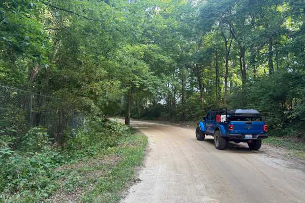
Graves Trail
Graves Trail is a fun and entertaining bidirectional trail near the Pinckney State Rec Area. Located just north of Sayles Lake off of M-36, this trail is easily accessible. Starting from the northern end, you'll start out on a mostly dirt road in a section of the forest with lush vegetation edging t...
Learn more about Graves Trail
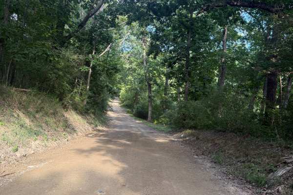
Doyle Trail
Doyle Trail is an easy bidirectional trail within the Pinckney State Recreation Area. Located off Patterson Lake Rd between highway 96 and 94, you'll find the west end of the trail, making it easily accessible. Starting from the western end, you'll begin on a mostly dirt road full of thick trees lin...
Learn more about Doyle Trail
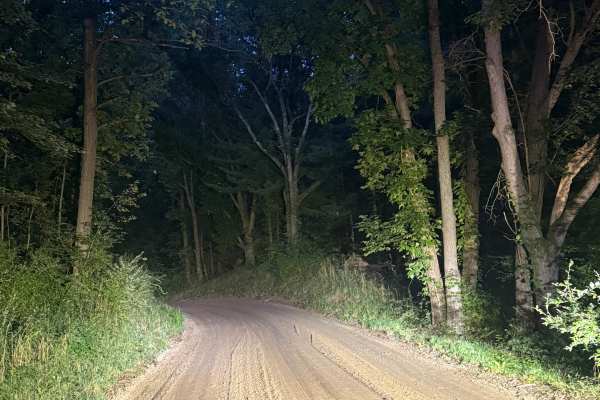
Brady Trail
Brady Trail is an easy one-mile bidirectional road, yet scenic in its own way. Located within the Brighton State Rec Area south of Genoa Charter Township, this trail is easily accessible. Starting from the southern end at the intersection of East Schafer Rd, you'll start on a mostly compact dirt roa...
Learn more about Brady Trail
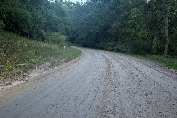
King Brighton Trail
King Brighton Trail is a really fun and exciting 2-mile bidirectional trail right outside the Brighton State Rec Area. Located just west of Chilson, right off Brighton Road, this trail is easily accessible. Starting from the northern end, you'll start out on a mostly dirt road for the first mile or ...
Learn more about King Brighton Trail
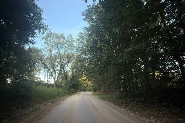
Rush Lake Trail
Rush Lake Trail is a 1.5-mile bidirectional road. Located just south of Farley Road, this trail is easily accessible from some of the other nearby trails. Starting off, you'll begin on a dirt/gravel road that has an abundance of trees and wildlife. There are many different types of wild flowers alon...
Learn more about Rush Lake Trail
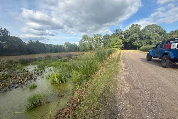
Monks Trail
Monks Trail is a 1.5-mile bidirectional trail within the Pinckney State Rec Area. Located between Cedar Lake Trail and Kelly Trail just south of Putnam Township, this trail is easily accessible. Starting from the western end of Kelly Road, you'll start out on a dirt/gravel route that is surrounded b...
Learn more about Monks Trail
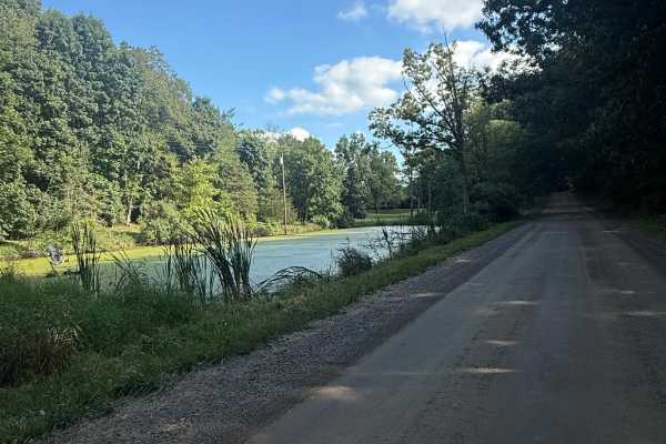
Kelly Trail
Kelly Trail is everything you would think it is based on its name. This 2.7-mile bidirectional scenic trail has many things to offer. Located within the Pinckney State Rec Area between highway 96 and 94 near Hell, it's easily accessible. Starting from the southern end at the intersection of Patterso...
Learn more about Kelly Trail
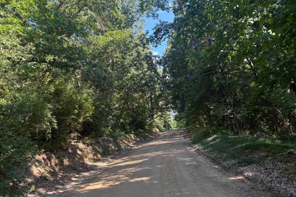
Silver Hill Trail
Silver Hill Trail is a unique Michigan bidirectional trail within the Pinckney State Recreation Area. Located just south of Hell between Highway 96 and 94, this trail is easily accessible. Starting from the northern end of D-32, you'll start out right next to the city of Hell. If you haven't checked...
Learn more about Silver Hill Trail

Rec Trail
Rec Trail is a very fun and scenic 3-mile bidirectional road within the Brighton State Rec Area. Located west of King Road, this trail is easily accessible. Starting from the east end at the intersection of King Road and East Schafer Road, you'll start out on a smooth, packed dirt road that leads in...
Learn more about Rec Trail
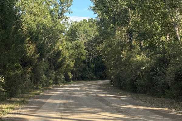
Cedar Lake Trail
Cedar Lake Trail is an awesome 8-mile bidirectional trail within the Michigan Department of Natural Resources and right outside the Pickney State Rec Area. Located between Marion Township and Putnam Township, this trail is easily accessible. Starting from the southern end of Patterson Lake Road, you...
Learn more about Cedar Lake Trail
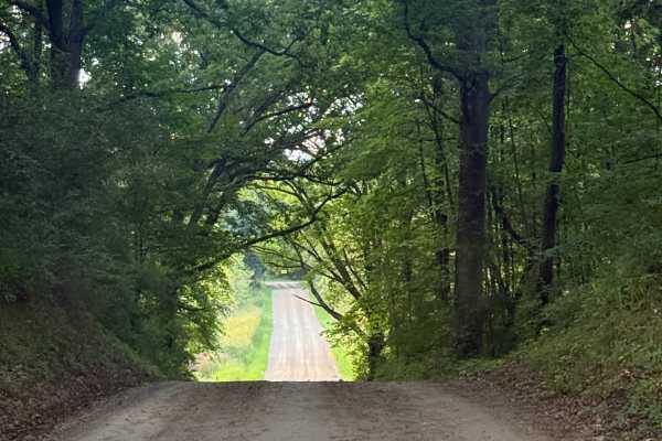
Chambers Trail
Chambers Trail is an easy and scenic 2.5-mile bidirectional road within the Brighton State Rec Area. Located just north of Rush Lake Road, this trail is easily accessible. Starting from the southern end of the trail, you'll start out on a dirt road. Now, while this trail does start right next to som...
Learn more about Chambers Trail
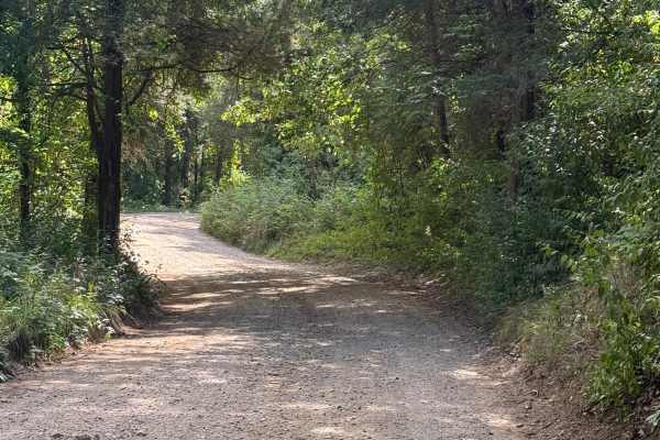
Crooked Lake Trail
Crooked Lake Trail is a unique bidirectional trail within the Pinckney State Recreation Area. Located just north of Dexter Township between Highway 94 and Highway 96, this trail is easily accessible. Starting from the southern end of Silver Hill Road, you'll start off on a dirt/gravel road after pas...
Learn more about Crooked Lake Trail
Beginner ATV trails near Webberville, Michigan
Explore ATV-friendly trails near you. These trails are accessible for vehicles up to 50 inches wide, perfect for ATVs and smaller off-road machines.
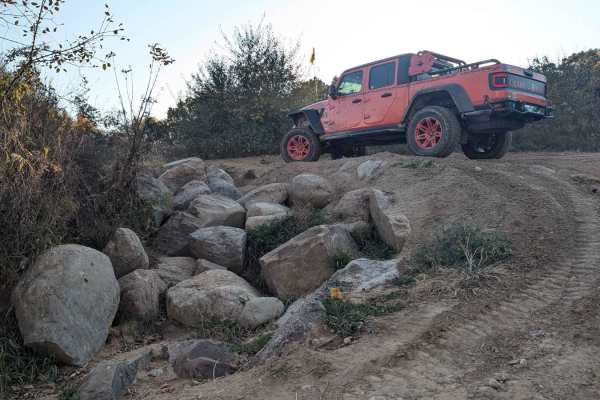
The Highway
This trail starts in the Northwest Corner area or off of West Side Drive. It is a multi-directional trail that runs through the trees with a couple of hills. If you're a full-size vehicle and like your paint job, this is not the trail for you. Expect some of that good ol' Michigan pinstriping. There...
Learn more about The Highway
West Point Hill Climb
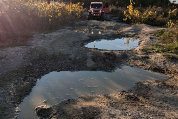
This trail is multi-directional, steep, and with large bumps causing your vehicle to articulate. Either entrance to this trail can be located along the South Rim Trail. The trail is very rutted. There was standing water on the trail and it has been dry. The trail would be very challenging if it was ...
Learn more about West Point Hill Climb
The Troubles
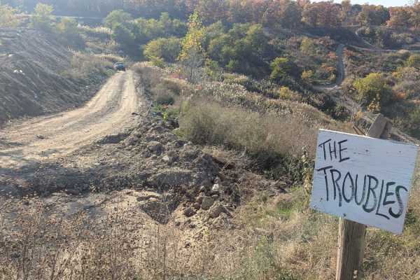
This is an intermediate trail with a hill descent or climb and a little off-camber areas. It is a multi-directional trail. One end can be found on Skyline Drive and the other can be located on South Rim Road. As with any of the trails at Holly Oaks, this trail could be more difficult if you run it g...
Learn more about The Troubles
Katy's Loop
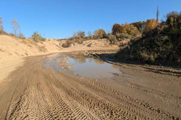
This trail is sandy with little rocks and loops around the far back area of the park. It's easy to drive and in most areas wide enough for two vehicles. There is a section near the Northwest Corner that has standing water. The water can be deep if it's been wet. Be cautious. The trail currently dead...
Learn more about Katy's Loop
Beginner UTV/side-by-side trails near Webberville, Michigan
Find UTV and side-by-side trails near you. These trails accommodate vehicles up to 60 inches wide, ideal for UTVs, side-by-sides, and wider off-road rigs.
The Highway
This trail starts in the Northwest Corner area or off of West Side Drive. It is a multi-directional trail that runs through the trees with a couple of hills. If you're a full-size vehicle and like your paint job, this is not the trail for you. Expect some of that good ol' Michigan pinstriping. There...
Learn more about The Highway
West Point Hill Climb
This trail is multi-directional, steep, and with large bumps causing your vehicle to articulate. Either entrance to this trail can be located along the South Rim Trail. The trail is very rutted. There was standing water on the trail and it has been dry. The trail would be very challenging if it was ...
Learn more about West Point Hill Climb
The Troubles
This is an intermediate trail with a hill descent or climb and a little off-camber areas. It is a multi-directional trail. One end can be found on Skyline Drive and the other can be located on South Rim Road. As with any of the trails at Holly Oaks, this trail could be more difficult if you run it g...
Learn more about The Troubles
Katy's Loop
This trail is sandy with little rocks and loops around the far back area of the park. It's easy to drive and in most areas wide enough for two vehicles. There is a section near the Northwest Corner that has standing water. The water can be deep if it's been wet. Be cautious. The trail currently dead...
Learn more about Katy's Loop
The onX Offroad Difference
onX Offroad combines trail photos, descriptions, difficulty ratings, width restrictions, seasonality, and more in a user-friendly interface. Available on all devices, with offline access and full compatibility with CarPlay and Android Auto. Discover what you're missing today!
Open Trail Map