Trail Overview
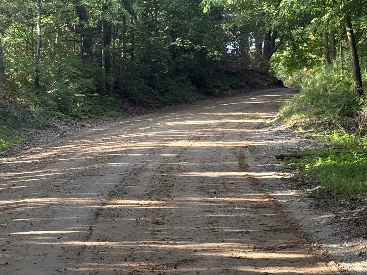
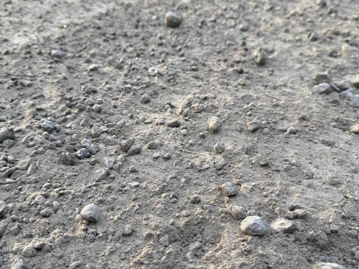
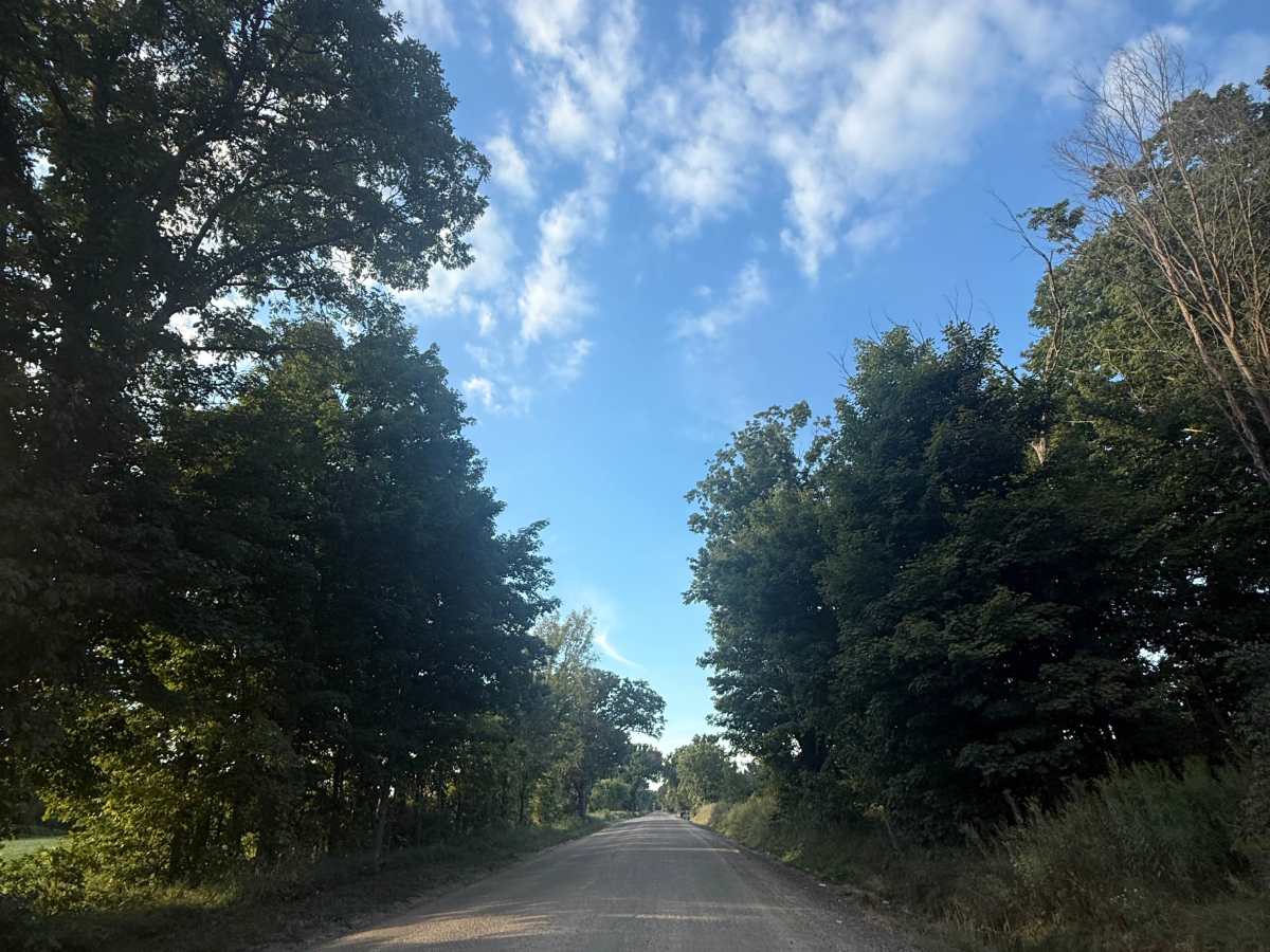
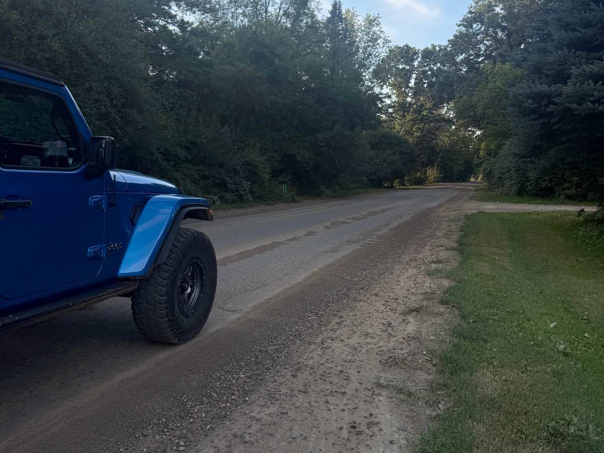
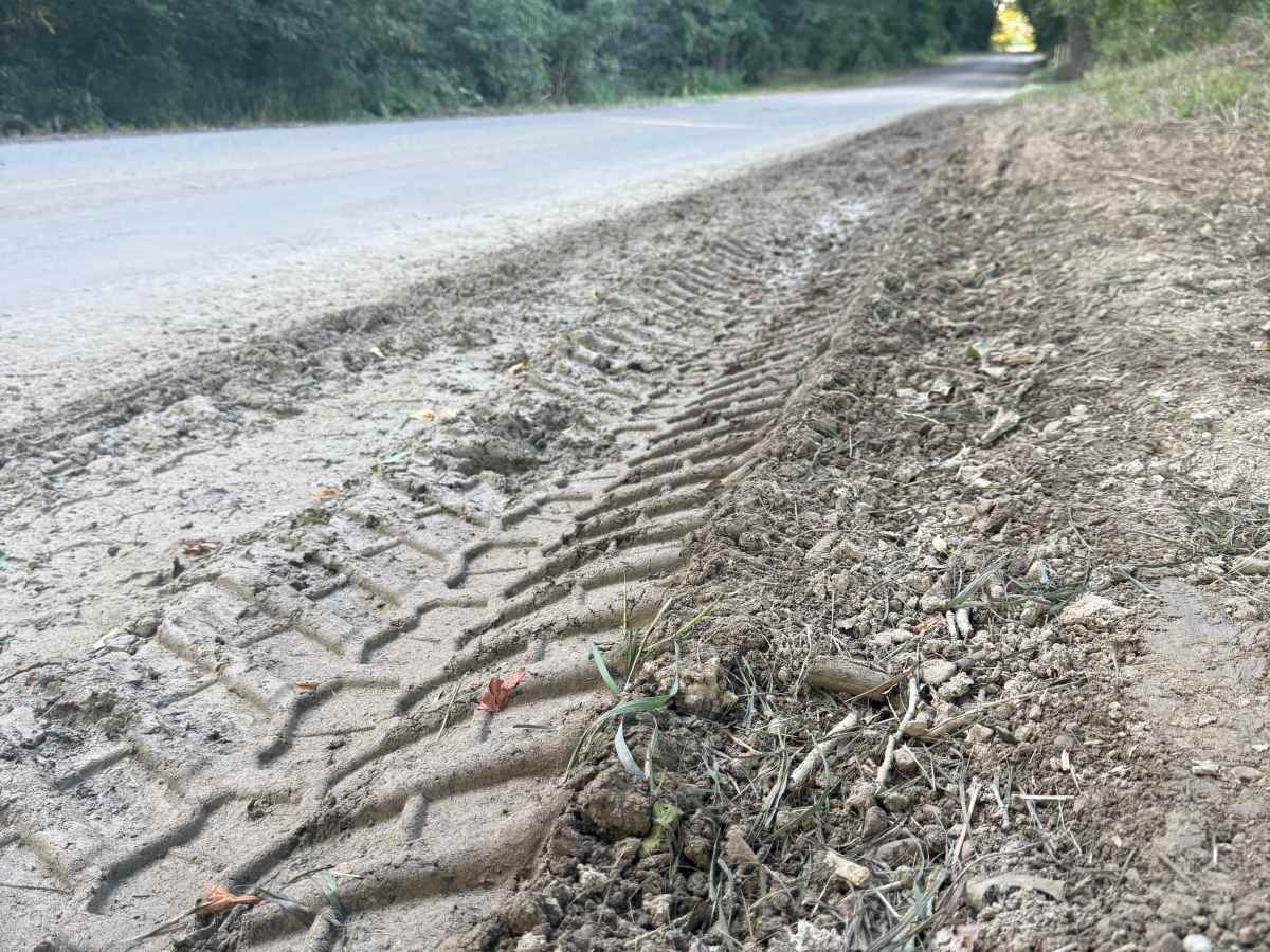
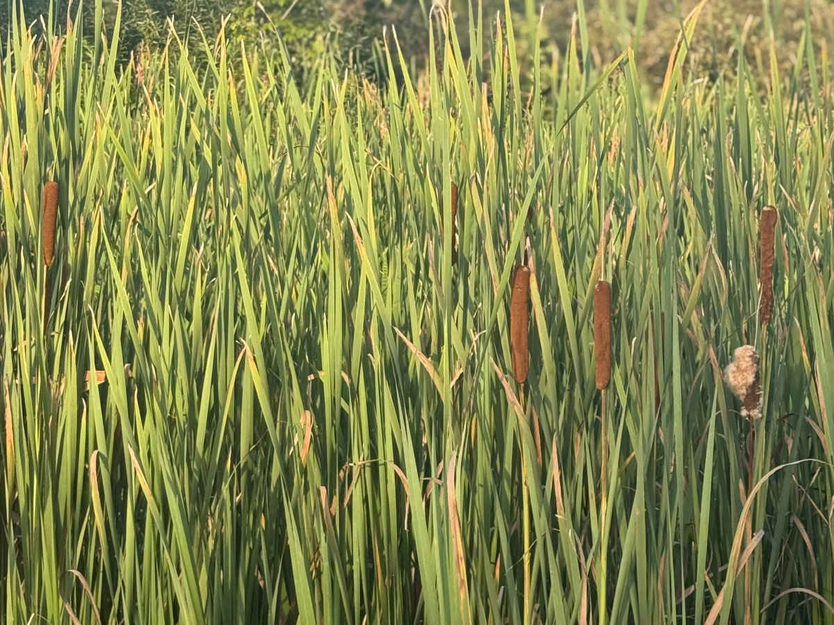
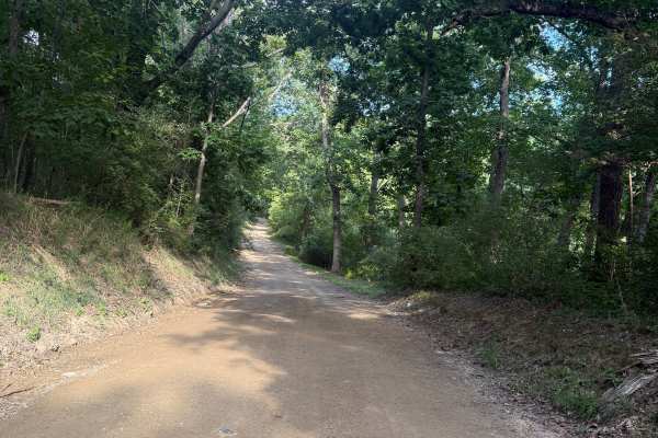
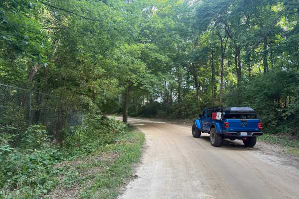
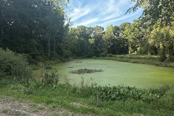
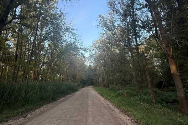
Pingree Trail is a unique and scenic 2.5-mile trail just outside of the Gregory State Game Area. Located just to the west of Putnam Township, you'll find the trail off M-36, making it easily accessible. Starting out the trail is a mixture of dirt and gravel. Shortly after, the trail transitions into some trees with a section of lush vegetation edging the trail. This is a pretty straightforward trail, but there are so many different sights to take in, so don't blink! Be sure to take it all in and TREAD LIGHTLY so future generations can enjoy these public spaces. Also, keep your eyes open for wildlife! This trail will surely keep you entertained. Like most Michigan off-road trails, conditions are dependent on the weather. Recent rainfall can cause unfavorable conditions on the trail, including downed trees, mud holes, and washouts. Come Prepared! Most of this trail is wide enough for 2, but there are sometimes limited spaces to pass. This is not a difficult trail at all, but it contains a lot of beauty and excitement. Regardless of the conditions of this trail, it's an awesome route to check out! As always, PLEASE TREAD LIGHTLY and be respectful of our public lands so future generations can have access to these trails!