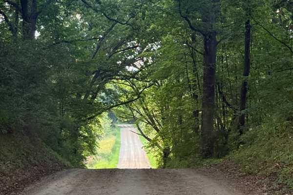
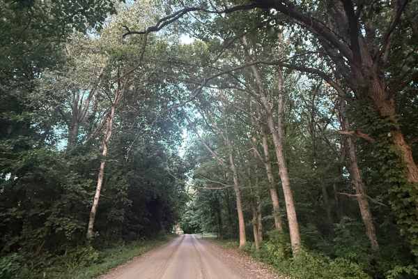
Trail Overview
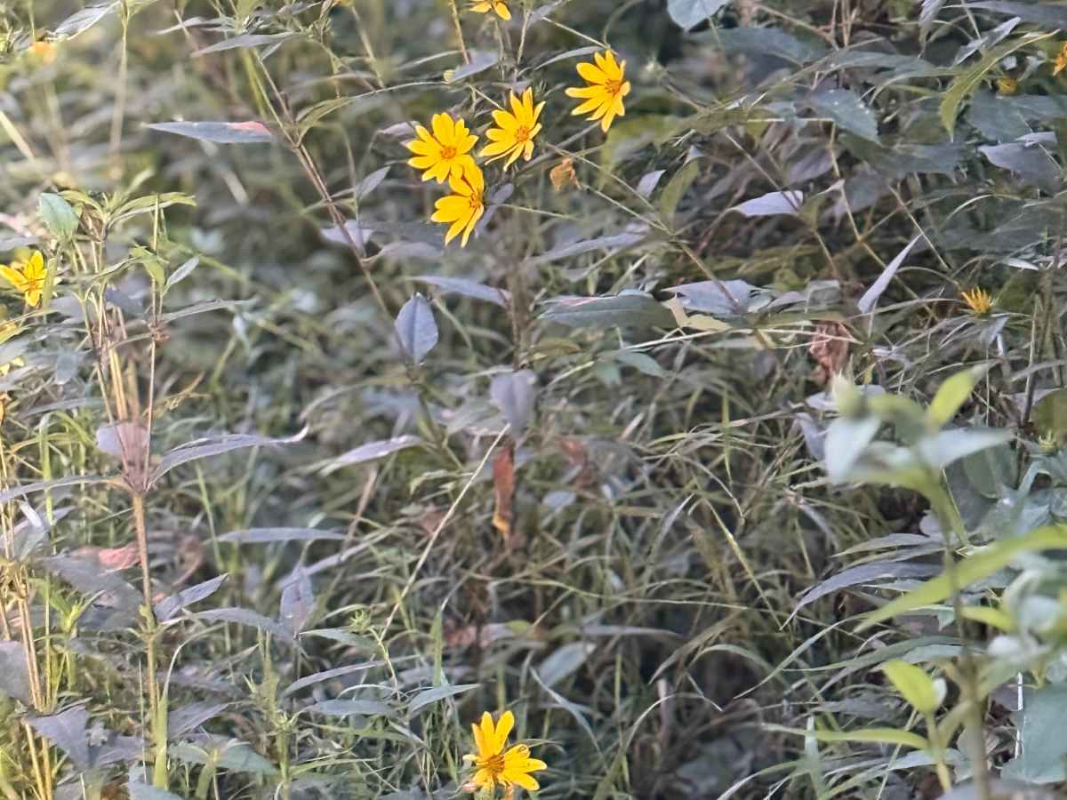
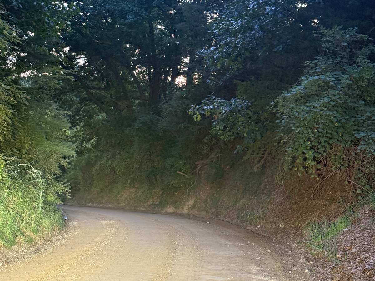
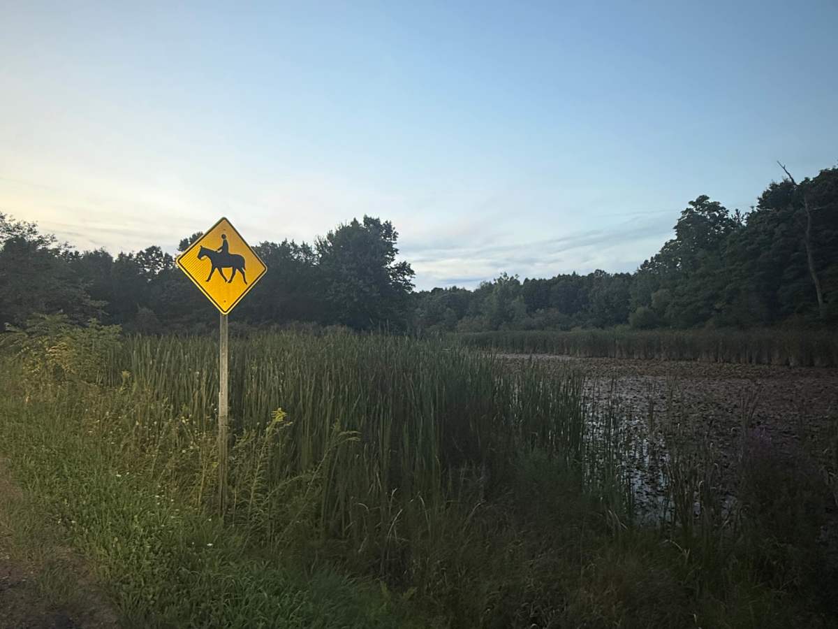
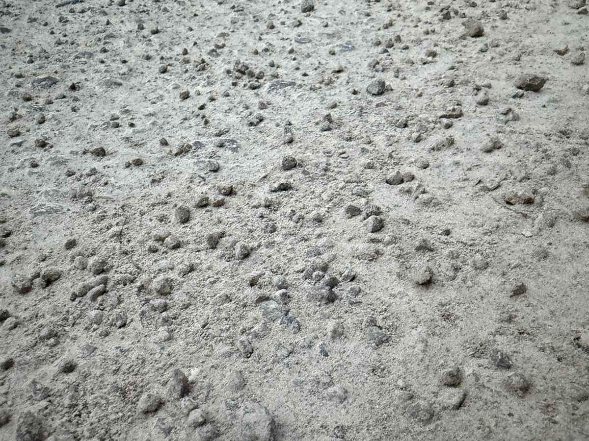
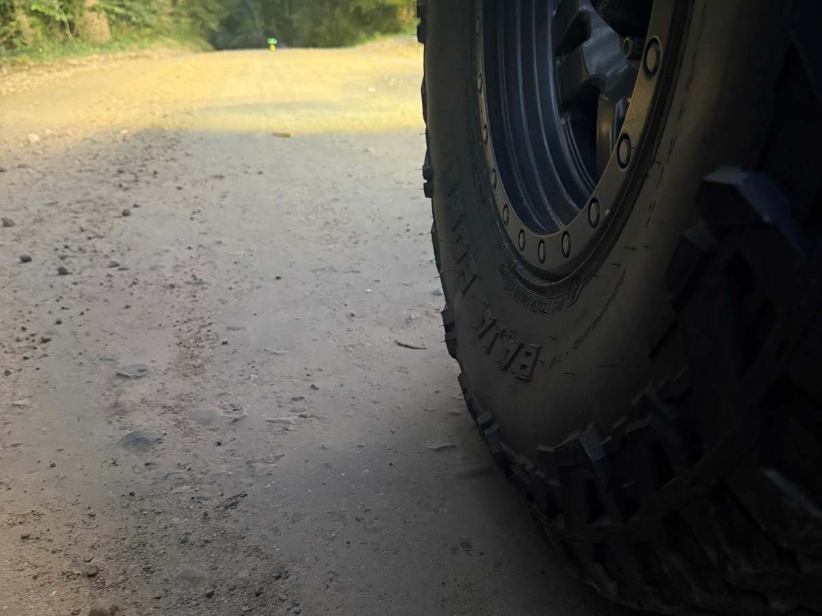
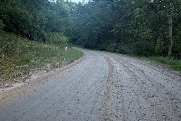
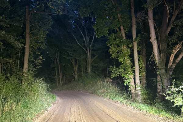
Rec Trail is a very fun and scenic 3-mile bidirectional road within the Brighton State Rec Area. Located west of King Road, this trail is easily accessible. Starting from the east end at the intersection of King Road and East Schafer Road, you'll start out on a smooth, packed dirt road that leads into some thick trees. About halfway into the trail, you'll come across the Brighton Rec Area Equestrian trail that weaves in and out in multiple spots, so keep your eyes peeled for other people and horses. Please TREAD LIGHTLY so future generations can enjoy these public spaces. Like most of Michigan trails, conditions are dependent on the weather. Recent rainfall can cause unfavorable conditions on the trail, including downed trees, mud holes, and washouts. Come Prepared! Most of this trail is wide enough for 2 vehicles, but please be cautious if you do decide to pass. This is not a difficult trail at all, but it contains a lot of fun and beauty, and gives access to other great trails nearby. The west end of the trail finishes at Pinckney Road. Regardless of the conditions or length of this trail, it's a fantastic route to explore with a lot of fun to be had! As always, PLEASE TREAD LIGHTLY and be respectful of our public lands so future generations can have access to these trails!