Trail Overview
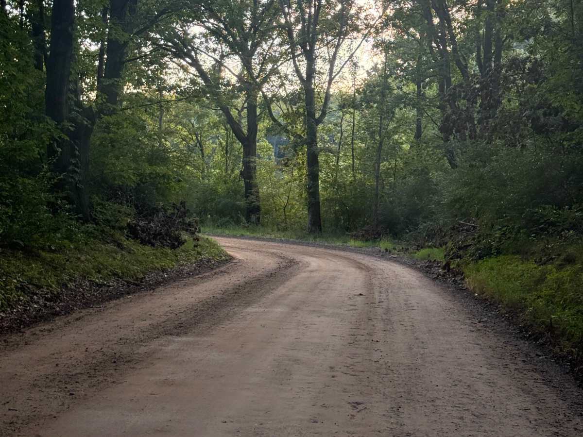
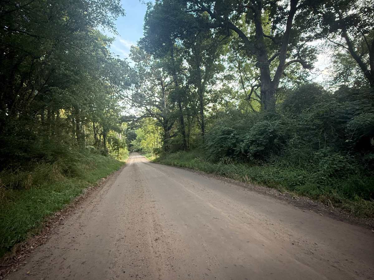
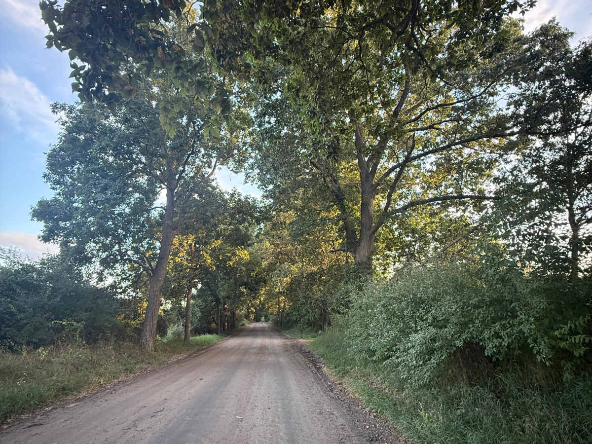
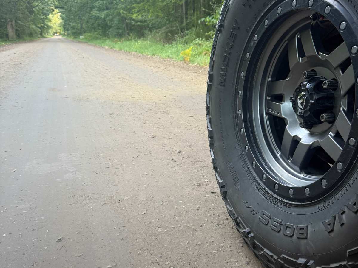
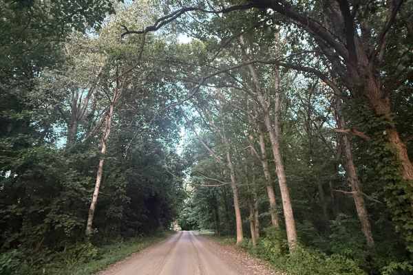
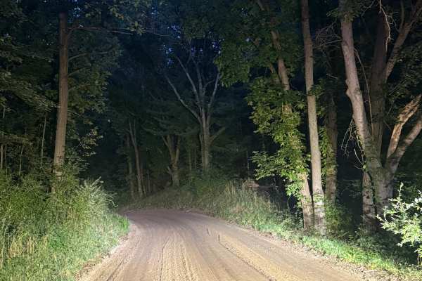
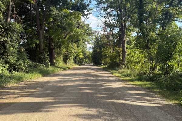
Gawley Trail is a unique and scenic 2.5 bidirectional trail. Located close to Bently Lake and south of Pleasant Lake, you'll find the trail off West Schafer Road, making it easily accessible. Starting out, the trail consists of both dirt and gravel. There are quite a few sections of trees, but also some open areas. This trail has the best of both worlds! As you continue down the trail, you'll come across the Huron River Watershed Honey Creek. Be sure to take it all in and TREAD LIGHTLY so future generations can enjoy these public spaces. Also, keep your eyes open for wildlife! This trail will surely keep you entertained. The trail ends at Pinckey Road, so it's easy to either get back to the highway or continue on your trail journey. Like most of Michigan's off-road trails, conditions are dependent on the weather. Recent rainfall can cause unfavorable conditions on the trail, including downed trees, mud holes, and washouts. Come Prepared! This is not a difficult trail at all, but it contains a lot of beauty and excitement. Regardless of the conditions of this trail, it's an awesome route to check out! As always, PLEASE TREAD LIGHTLY and be respectful of our public lands so future generations can have access to these trails!