
Beginner Off-Road Trails
Near Twisp, Washington
Explore All Beginner Trails Near Twisp, Washington
Beginner Off-Road Trails Near Twisp, Washington
Discover the best beginner-friendly off-road trails near you. These easier, lower-rated trails are a great place to start — browse trail maps, check difficulty ratings, and find your next adventure.
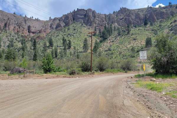
Balky Hill Road - 1637
If you're looking for an alternate road option from Highway 20 into the Okanogan National Forest, here is one. It's an easy, 2WD friendly, dirt road - complete with the typical washboards and small bumpy sections throughout. There are private residences for the first half until you get closer to the...
Learn more about Balky Hill Road - 1637
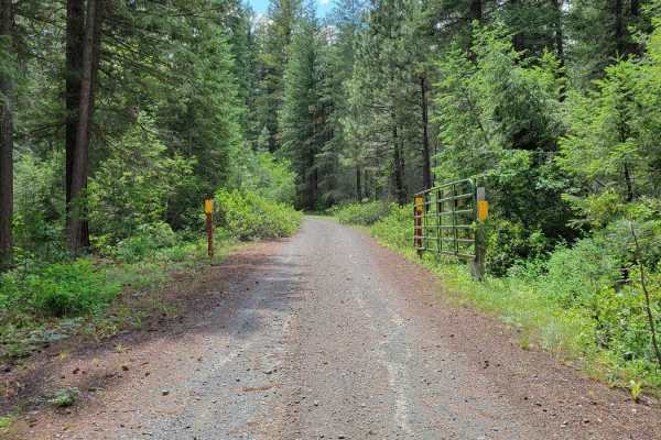
Newby Creek (4350100)
Sometimes trails lead to spectacular destinations and other times they have the promise of leading to something and end up going nowhere. Newby Creek trail is one of those routes that unfortunately doesn't lead to anything and is a curiosity as to why it even exists. Maybe a service road at some poi...
Learn more about Newby Creek (4350100)
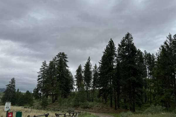
Campbell Lake Road
This is a dirt-based road that travels on State of Washington land. A Discover Pass is required to enjoy this area. The trail leads you past Campbell Lake, where there is an information board and a vault-style toilet. Once you go past the lake, the trail only goes a little further before ending at a...
Learn more about Campbell Lake Road
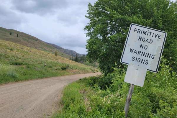
Lester Road
This is a scenic shelf trail that connects Road 1631 and Road 1637. There is one steeper hill grade on the western end of the trail and a handful of longer and gradual hill grades throughout the rest of the trail. Now and then you'll catch views down the hill and into neighboring little valleys. Bik...
Learn more about Lester Road
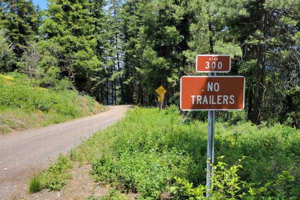
Poorman Creek Road (NF 4300300)
This six-mile trail is one long continual hill climb/descent that leads up to the Black Pine Lake Campground/Lake. There are warning signs at the top: "Narrow Steep Road", and "No Trailers" due to the steep nature and occasional tighter corners; likely to deter large camper trailers from attempting ...
Learn more about Poorman Creek Road (NF 4300300)
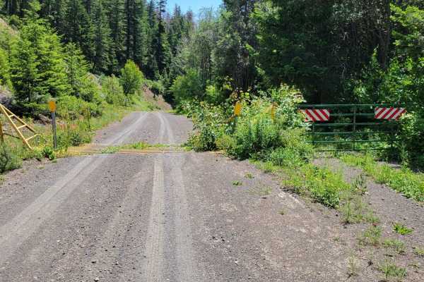
NF 43 (Eastern) - Buttermilk Libby
This section of NF 43 leads to/from the Black Pine Lake Campground eastward and connects to other trails in the area, one of which can get you back to the main road (153). The road is a slightly steeper climb/descent, safe for 2WD vehicles to reach the campground. Nothing of difficulty to note. Ther...
Learn more about NF 43 (Eastern) - Buttermilk Libby
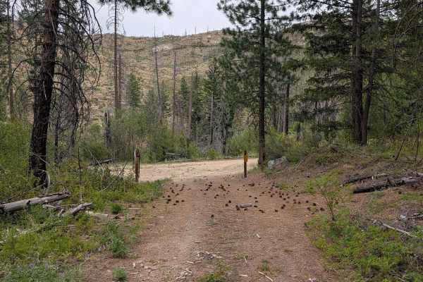
FS 4150-265
This single-lane dirt road starts next to where FS 200 road is blocked off. It's overgrown in places and has a few loose sandy spots, but is otherwise in good shape for an unmaintained road. It is tank-trapped just over a mile in next to the beginning of FS 280. FS 280 is also blocked about a mile ...
Learn more about FS 4150-265
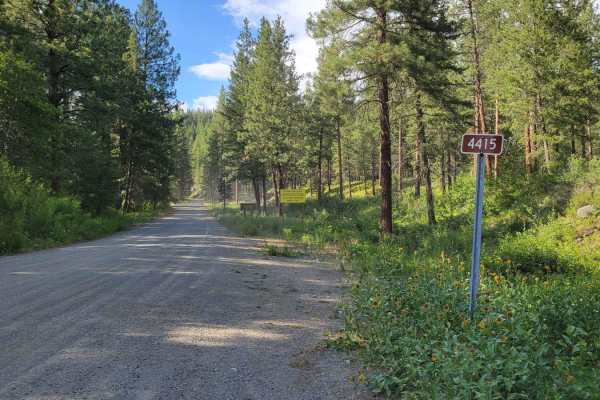
FR 4415 - Little Bridge Creek
Turning North off of Twisp River Road, this nearly seven mile trail leads deep into Okanogan National Forest. There is a posted warning sign: "Entering Burned Area. Increased risk of flooding, fallen trees, rocks, and debris flow." Even though the trail eventually dead-ends, there are several primit...
Learn more about FR 4415 - Little Bridge Creek
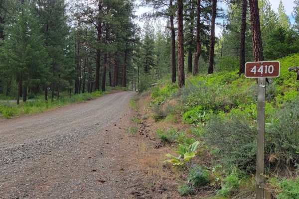
NF 4410 - Thompson Road
This is a gentle and easy forest road that connects Twisp River Road and Patterson Lake Road. It is 2WD friendly with nothing difficult or technical to note. The worst of it was washboarded sections and occasional pot holes. It is a routinely trafficked road as there are several mountain bike trails...
Learn more about NF 4410 - Thompson Road
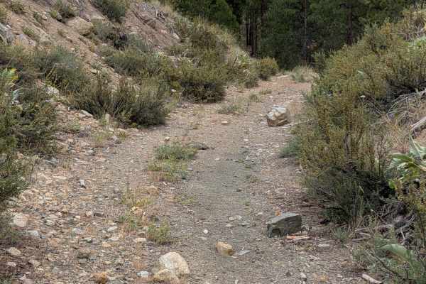
FS 4150-280
This single-lane unimproved dirt road begins right next to where FS 265 is blocked off. It ends a little over a mile later with large trees across the road near the junction with FS 100. It looks like it has been blocked for quite a while based on the overgrown road beyond. The track is loose in pla...
Learn more about FS 4150-280
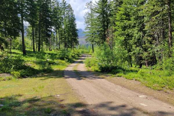
NF 400 - Buttermilk Butte
NF 400 begins as a nice, wide two-track but gradually becomes more and more narrow with vegetation overgrowth. There are sections where pin-striping for wider vehicles would occur. Erosion damage exists in a few places; a couple of which are chewing away at the trail. The East Fork Buttermilk Trailh...
Learn more about NF 400 - Buttermilk Butte
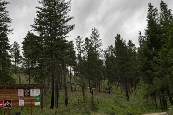
Cougar Lake Road
This dirt-based forest road travels from the National Forest through State of Washington land. You will need a Discover Pass to enjoy the state land and lake area. It leads you to Cougar Lake and the campground there that has a vault-style toilet. Once you pass the lake, there is a water crossing th...
Learn more about Cougar Lake Road
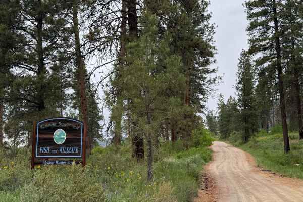
FS 5008-100
This dirt-based trail starts in State of Washington land, then travels into the National Forest. A Discover Pass is required to enjoy the state land. The trail gradually climbs over 2,100 feet in elevation over 6.6 miles before ending in the forest. There are potholes 4-6 inches deep and minor ruts ...
Learn more about FS 5008-100
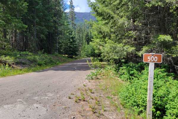
NF 500 - West Fork Buttermilk
This section of trail leads to the West Fork Buttermilk Trailhead (hiking). It's an easy and gradual dirt road up to the trailhead;2WD capable with nothing of difficulty to note save for a few washboarded sections. The further up the trail you travel, it becomes a little bit narrow with vegetation o...
Learn more about NF 500 - West Fork Buttermilk
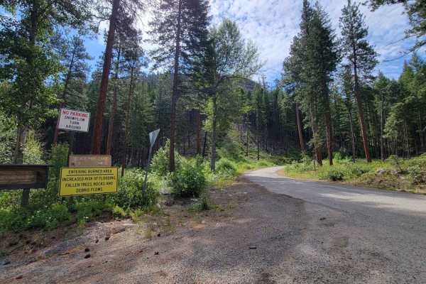
NF 43 - Buttermilk Libby
This section of NF 43 is where the pavement ends and the dirt road begins, leading to Black Pine Lake/Campground. There are warning signs at the bottom of the road: "Entering Burned Area. Increased risk of flooding, fallen trees, rocks, and debris flow." The road is an easy and gradual climb, safe f...
Learn more about NF 43 - Buttermilk Libby

North Fork Gold Creek
The North Fork Gold Creek trail begins 7.25 miles from Highway 153 at the junction with Buttermilk-Libby Road. This easy route is made up of gravel and crushed granite and travels almost entirely through the Okanogan National Forest except for the final 3 miles, which pass through an area of 15 priv...
Learn more about North Fork Gold Creek
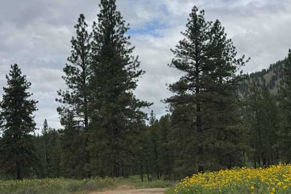
Pearrygin Creek Road
This is a narrow, one lane, dirt based trail on State of Washington land. A Discover Pass is required to enjoy this area, and the trail is marked as No ATVs Allowed. The trail travels through a Forage Study area, and ends in a loop turnaround spot on the ledge above Pearrygin Creek. This is a short...
Learn more about Pearrygin Creek Road
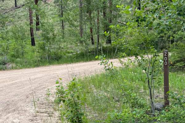
FS 5008-200
This is a dirt based forest road that begins wide and then narrows to one lane and has some two track. The trail climbs over 1,800 feet in elevation, and has switchbacks with large drop offs/ledges near the end. There is minor ruts and wash along the trail and some overgrown vegetation, but any vehi...
Learn more about FS 5008-200
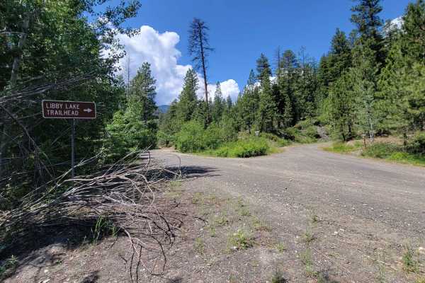
NF 700 - Libby Lake Trailhead
NF 700 is one continual and gradual climb up to the Libby Lake Hiking Trailhead. It is easy enough for 2WD, as noted by the vehicles parked at the trailhead. The trail itself is fairly overgrown with vegetation, where brushing / pin-stripes are likely to occur. The area is unmaintained (closed) in t...
Learn more about NF 700 - Libby Lake Trailhead
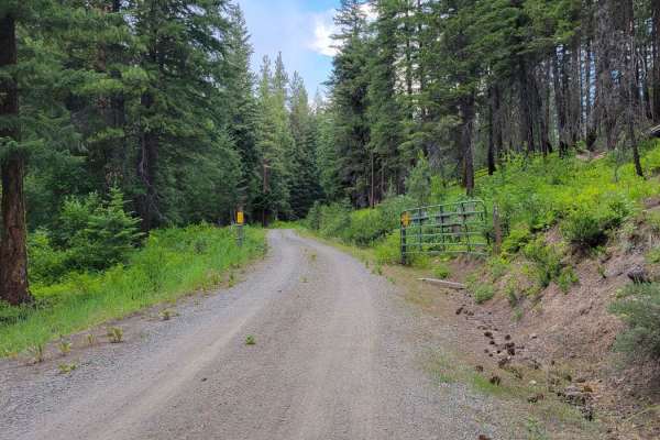
Cow Creek Road 4415040
From off of Little Bridge Creek trail, this nearly five-mile trail weaves and winds its way up Thompson Ridge, eventually ending atop a wide-open lookout spot. The trail begins as a spacious two-track and is fairly easy and non-technical for most of the way. Occasional erosion rut/gutter and mild ro...
Learn more about Cow Creek Road 4415040
Beginner ATV trails near Twisp, Washington
Explore ATV-friendly trails near you. These trails are accessible for vehicles up to 50 inches wide, perfect for ATVs and smaller off-road machines.
Newby Creek (4350100)
Sometimes trails lead to spectacular destinations and other times they have the promise of leading to something and end up going nowhere. Newby Creek trail is one of those routes that unfortunately doesn't lead to anything and is a curiosity as to why it even exists. Maybe a service road at some poi...
Learn more about Newby Creek (4350100)
Campbell Lake Road
This is a dirt-based road that travels on State of Washington land. A Discover Pass is required to enjoy this area. The trail leads you past Campbell Lake, where there is an information board and a vault-style toilet. Once you go past the lake, the trail only goes a little further before ending at a...
Learn more about Campbell Lake Road
Lester Road
This is a scenic shelf trail that connects Road 1631 and Road 1637. There is one steeper hill grade on the western end of the trail and a handful of longer and gradual hill grades throughout the rest of the trail. Now and then you'll catch views down the hill and into neighboring little valleys. Bik...
Learn more about Lester Road
Poorman Creek Road (NF 4300300)
This six-mile trail is one long continual hill climb/descent that leads up to the Black Pine Lake Campground/Lake. There are warning signs at the top: "Narrow Steep Road", and "No Trailers" due to the steep nature and occasional tighter corners; likely to deter large camper trailers from attempting ...
Learn more about Poorman Creek Road (NF 4300300)
Beginner UTV/side-by-side trails near Twisp, Washington
Find UTV and side-by-side trails near you. These trails accommodate vehicles up to 60 inches wide, ideal for UTVs, side-by-sides, and wider off-road rigs.
Balky Hill Road - 1637
If you're looking for an alternate road option from Highway 20 into the Okanogan National Forest, here is one. It's an easy, 2WD friendly, dirt road - complete with the typical washboards and small bumpy sections throughout. There are private residences for the first half until you get closer to the...
Learn more about Balky Hill Road - 1637
Newby Creek (4350100)
Sometimes trails lead to spectacular destinations and other times they have the promise of leading to something and end up going nowhere. Newby Creek trail is one of those routes that unfortunately doesn't lead to anything and is a curiosity as to why it even exists. Maybe a service road at some poi...
Learn more about Newby Creek (4350100)
Campbell Lake Road
This is a dirt-based road that travels on State of Washington land. A Discover Pass is required to enjoy this area. The trail leads you past Campbell Lake, where there is an information board and a vault-style toilet. Once you go past the lake, the trail only goes a little further before ending at a...
Learn more about Campbell Lake Road
Lester Road
This is a scenic shelf trail that connects Road 1631 and Road 1637. There is one steeper hill grade on the western end of the trail and a handful of longer and gradual hill grades throughout the rest of the trail. Now and then you'll catch views down the hill and into neighboring little valleys. Bik...
Learn more about Lester Road
The onX Offroad Difference
onX Offroad combines trail photos, descriptions, difficulty ratings, width restrictions, seasonality, and more in a user-friendly interface. Available on all devices, with offline access and full compatibility with CarPlay and Android Auto. Discover what you're missing today!
Open Trail Map