
Beginner Off-Road Trails
Near Stites, Idaho
Explore All Beginner Trails Near Stites, Idaho
Beginner Off-Road Trails Near Stites, Idaho
Discover the best beginner-friendly off-road trails near you. These easier, lower-rated trails are a great place to start — browse trail maps, check difficulty ratings, and find your next adventure.
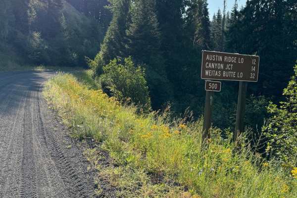
Lolo Motorway (aka FS Rd #500)
The Lolo Motorway(Forest Road 500) is a roughly 95-mile narrow, winding primitive road. The single-lane road, partially built by the Civilian Conservation Corps in the 1930, travels close to the Nez Perce Trail. Portions of this road are single-lane, and there are washouts. High clearance 4x4 onl...
Learn more about Lolo Motorway (aka FS Rd #500)
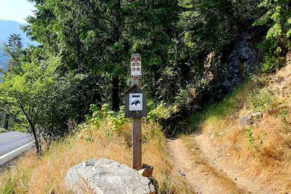
Van Camp trail 16
Trailhead is off the highway with limited parking of about 200 feet of one-lane parking. Use caution when unloading, as this part of the highway can get busy during spring and early summer with rafters, kayakers, and others.The trail is not far from Lowell, Idaho. With a population of 23, it does no...
Learn more about Van Camp trail 16
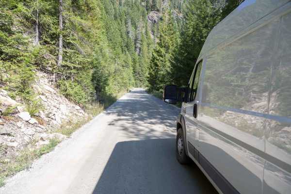
Pierce to Superior FS 250
This route follows French Creek until it reaches Orogrande Creek. It continues along Orogrande Creek until it meets the north fork of the Clearwater River. This junction includes both the Bungalow Creek Ranger Station and Bungalow Creek Campground as well as several large dispersed camping sites. Th...
Learn more about Pierce to Superior FS 250
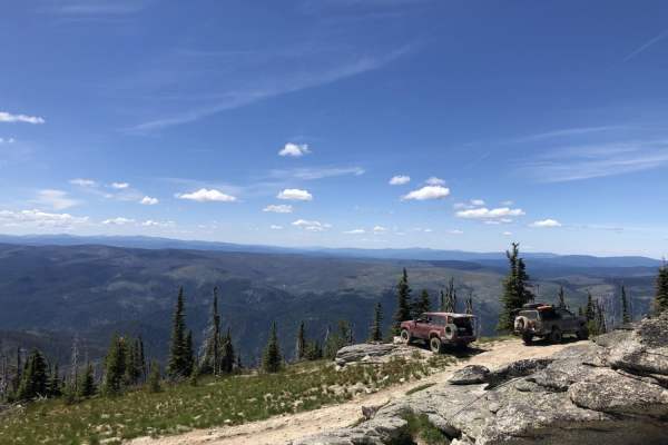
The Magruder Corridor
The Magruder Corridor, also known as the Magruder Road Corridor, is a remote backcountry route that connects Idaho and Montana between the Selway-Bitterroot Wilderness and the Frank Church-River of No Return Wilderness. This historic trail is one of the classic overland drives in the Northern Rockie...
Learn more about The Magruder Corridor
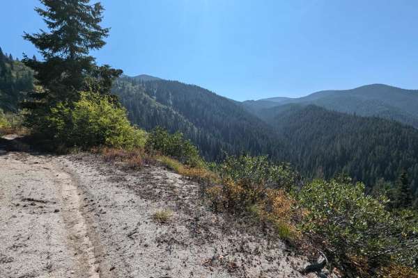
Fish Butte Saddle
Turn off of Fish Creek trail at and cross Fish Creek to reach the Fish Buttle Saddle ATV trail at the following coordinates: 46.34508, -115.42648. This trail climbs 3.4 miles up to Middle Butte Road. The ATV trail is beautiful and follows an ATV trail deep in the forest. Continue up Middle Butte roa...
Learn more about Fish Butte Saddle
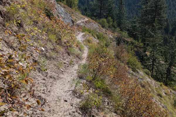
Fish Butte
This is a beautiful single-track trail that, when ridden in combination with Fish Creek and Fish Butte Saddle ATV trail, forms a fantastic loop. Fish Butte Trail Starts from either the Middle Butte Road or the Fish Creek Road, depending on the direction you ride. This five-mile trail is mainly compo...
Learn more about Fish Butte
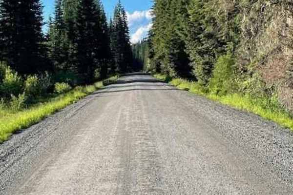
Pierce to Dworshak Reservoir/Grandad Bridge
This scenic route leaves Pierce via Snake Creek Road before turning off onto Calhoun Road. This is a very easy, well-maintained gravel road that is wide enough for two vehicles to pass. It is a lengthy route that snakes through the mountains and offers some premium views. There are several disperse...
Learn more about Pierce to Dworshak Reservoir/Grandad Bridge
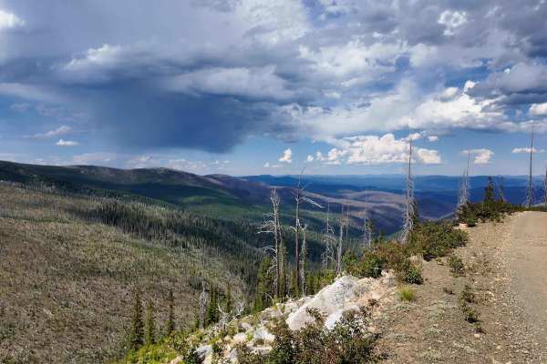
Orogrande Summit
The lower section of Crooked River or Forest Service Road 233, better known as Orogrande Summit, is a heavily traveled road that is part of the Nez Perce National Forest, but makes its way deep into the Gospel-Hump Wilderness as one of the only allowed motorized routes. The route is a gravelly and w...
Learn more about Orogrande Summit
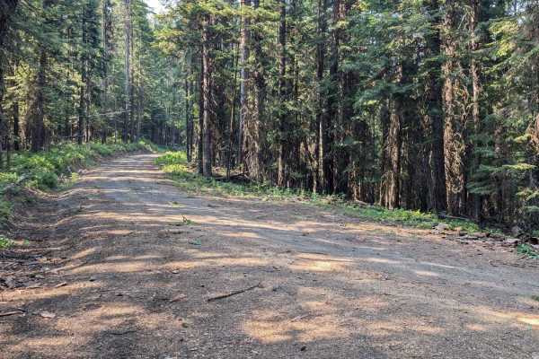
Nut Basin - FR 441
FR 441/Nut Basin Road is a sand road that meanders through the Nez Perce National Forest. Parts are lined with trees on both sides. The road gets rougher with ruts and some baseball-sized rocks when approaching the summit for the turn to the Nut Basin Lookout Ruins. There are places to dry camp alon...
Learn more about Nut Basin - FR 441
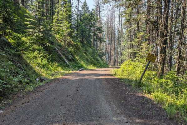
FS 536-Keating Ridge Road
FS 536/Keating Ridge Road turns North off NF221 C/FDR Grangeville-Salmon Road approximately 9.4 miles from FDR 1614/Big Salmon Road. Keating Ridge is 3.8 miles long (one way) and ties into FR 441-Nut Basin. The road is a mix of sand and dirt. There are a few minor ruts. The scenery is beautiful as t...
Learn more about FS 536-Keating Ridge Road
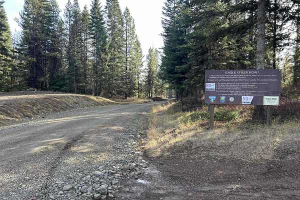
Eagle Creek - FS 35001
Eagle Creek is a 17.3-mile out-and-back trail that starts in the Craig Mountains at an elevation of 4,959' before descending to the Salmon River at 1,080'. The first 11 miles make up the descent, as the trail winds down through a tight, steep canyon along a creek sharing its name. This section is a ...
Learn more about Eagle Creek - FS 35001
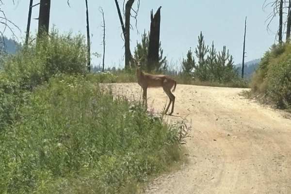
Red River Road
This trail leads from the western end of the scenic and historic Magruder Corridor near the USFS Red River Guard Station to Red River Hot Springs Resort. The Magruder Corridor stretches over 100 miles from near Darby Montana on US 93 west through Idaho's breathtaking high-mountain scenery of the Fra...
Learn more about Red River Road
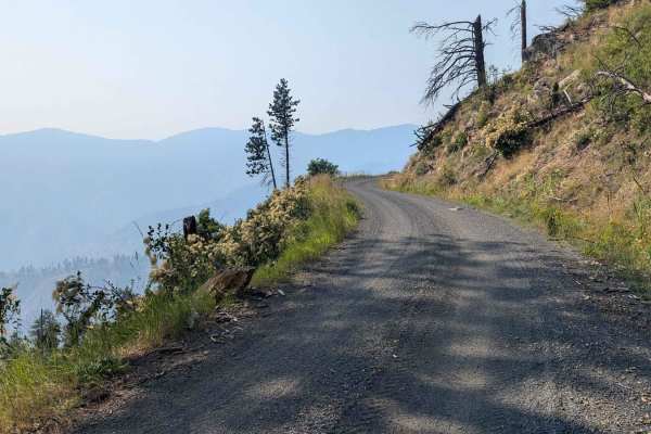
NF 221 - C/FDR Grangeville - Salmon Road
To connect to NF 221 - C/FDR Grangeville - Salmon Road, Turn East off Hwy 95 onto NFD 1614/Big Salmon Road and proceed 9.8 miles. This road is pavement. Before reaching Allison Creek Campground, there is a large sandy area on the right side of the road with ample room for unloading and loading offro...
Learn more about NF 221 - C/FDR Grangeville - Salmon Road
Soda Creek- FS 1172
This trail leads from the western end of the scenic and historic Magruder Corridor near the USFS Red River Guard Station to Red River Hot Springs Resort. The Magruder Corridor stretches over 100 miles from near Darby, Montana on US 93 west through Idaho's breathtaking high-mountain scenery of the Fr...
Learn more about Soda Creek- FS 1172
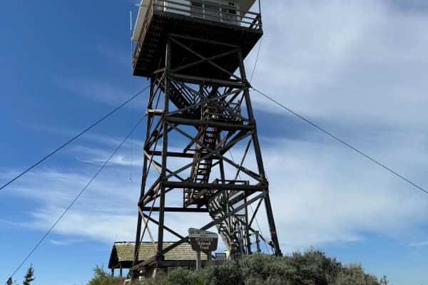
Chair Point Lookout
This 14 mile road will take you to the Chair Point Lookout in the Nez Perce National Forest with amazing views of the Salmon River. The road is an easy gravel road that rises to an elevation of just under 7,000 feet. The lookout was constructed in 1931, with the present structure being remodeled i...
Learn more about Chair Point Lookout
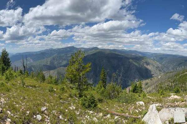
Jersey Mountain
Starting from the Dixie work center, you continue up the road, which is wide, nice, and drivable by anything. The final turn off to the viewpoint is a bit rougher with some slippery rocks, washouts, and steep grade. A jeep that had the time could do it no problem, and on an ATV, it was doable both w...
Learn more about Jersey Mountain
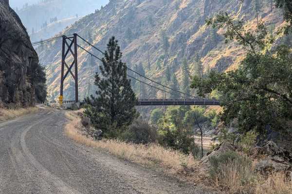
Big Salmon Road - 1614
Road 1614, also known as Big Salmon Road starts at Highway 95 at the South end of Riggins, Idaho. The first 12.5 miles from Highway 95 is paved. This track begins where Road 1614 turns to dirt just before the bridge for Road NF 257 and ends at French Creek. Road 1614 is the main road that accesses r...
Learn more about Big Salmon Road - 1614
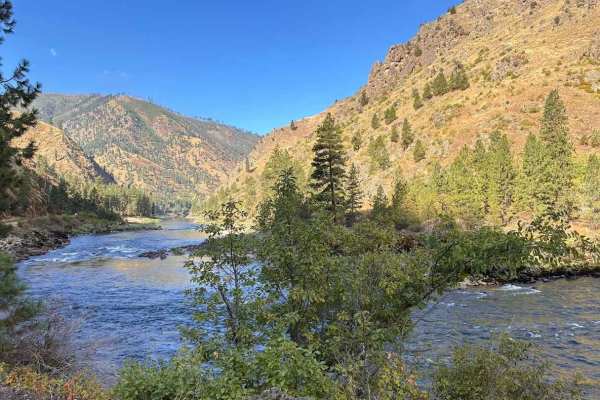
Wind River- NF 1614
NF-1614, also known as Salmon River Road, winds upstream from Riggins along the Wild & Scenic Salmon River, delivering sweeping canyon vistas and constant views of the river’s rapids. The drive is mostly graded gravel, with stretches of potholes, washboards, and narrow shelf roads where rockfall is ...
Learn more about Wind River- NF 1614
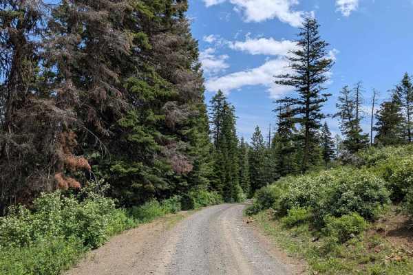
Buckhorn Overlook Spur
Buckhorn Overlook Spur is a short but rewarding 2-mile out-and-back trail that connects Forest Road 46 to one of the most breathtaking viewpoints in the region--Buckhorn Overlook, perched above the legendary Hells Canyon, the deepest river gorge in North America. The dirt road is mostly easy, but fe...
Learn more about Buckhorn Overlook Spur
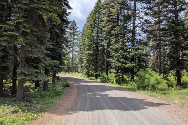
Wellamockin Road North NF46
Wellamockin Road North NF46 is a well-graded gravel route that threads through a scenic forested area just north of the Duncorn Overlook Road. The trail is lined with pine trees and lush green vegetation, making it especially vibrant in the spring when wildflowers bloom abundantly. Travelers will fi...
Learn more about Wellamockin Road North NF46
Beginner ATV trails near Stites, Idaho
Explore ATV-friendly trails near you. These trails are accessible for vehicles up to 50 inches wide, perfect for ATVs and smaller off-road machines.
Lolo Motorway (aka FS Rd #500)
The Lolo Motorway(Forest Road 500) is a roughly 95-mile narrow, winding primitive road. The single-lane road, partially built by the Civilian Conservation Corps in the 1930, travels close to the Nez Perce Trail. Portions of this road are single-lane, and there are washouts. High clearance 4x4 onl...
Learn more about Lolo Motorway (aka FS Rd #500)
Van Camp trail 16
Trailhead is off the highway with limited parking of about 200 feet of one-lane parking. Use caution when unloading, as this part of the highway can get busy during spring and early summer with rafters, kayakers, and others.The trail is not far from Lowell, Idaho. With a population of 23, it does no...
Learn more about Van Camp trail 16
Pierce to Superior FS 250
This route follows French Creek until it reaches Orogrande Creek. It continues along Orogrande Creek until it meets the north fork of the Clearwater River. This junction includes both the Bungalow Creek Ranger Station and Bungalow Creek Campground as well as several large dispersed camping sites. Th...
Learn more about Pierce to Superior FS 250
The Magruder Corridor
The Magruder Corridor, also known as the Magruder Road Corridor, is a remote backcountry route that connects Idaho and Montana between the Selway-Bitterroot Wilderness and the Frank Church-River of No Return Wilderness. This historic trail is one of the classic overland drives in the Northern Rockie...
Learn more about The Magruder Corridor
Beginner UTV/side-by-side trails near Stites, Idaho
Find UTV and side-by-side trails near you. These trails accommodate vehicles up to 60 inches wide, ideal for UTVs, side-by-sides, and wider off-road rigs.
Lolo Motorway (aka FS Rd #500)
The Lolo Motorway(Forest Road 500) is a roughly 95-mile narrow, winding primitive road. The single-lane road, partially built by the Civilian Conservation Corps in the 1930, travels close to the Nez Perce Trail. Portions of this road are single-lane, and there are washouts. High clearance 4x4 onl...
Learn more about Lolo Motorway (aka FS Rd #500)
Pierce to Superior FS 250
This route follows French Creek until it reaches Orogrande Creek. It continues along Orogrande Creek until it meets the north fork of the Clearwater River. This junction includes both the Bungalow Creek Ranger Station and Bungalow Creek Campground as well as several large dispersed camping sites. Th...
Learn more about Pierce to Superior FS 250
The Magruder Corridor
The Magruder Corridor, also known as the Magruder Road Corridor, is a remote backcountry route that connects Idaho and Montana between the Selway-Bitterroot Wilderness and the Frank Church-River of No Return Wilderness. This historic trail is one of the classic overland drives in the Northern Rockie...
Learn more about The Magruder Corridor
Pierce to Dworshak Reservoir/Grandad Bridge
This scenic route leaves Pierce via Snake Creek Road before turning off onto Calhoun Road. This is a very easy, well-maintained gravel road that is wide enough for two vehicles to pass. It is a lengthy route that snakes through the mountains and offers some premium views. There are several disperse...
Learn more about Pierce to Dworshak Reservoir/Grandad Bridge
The onX Offroad Difference
onX Offroad combines trail photos, descriptions, difficulty ratings, width restrictions, seasonality, and more in a user-friendly interface. Available on all devices, with offline access and full compatibility with CarPlay and Android Auto. Discover what you're missing today!
Open Trail Map