Lolo Motorway (aka FS Rd #500)

Total Miles93.6
Technical Rating
3Easy
Best TimeSummer
Trail TypeFull-Width Road
Accessible By
Open Trail Map

Trail Overview

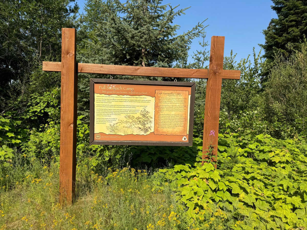
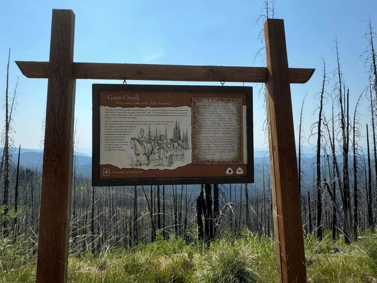
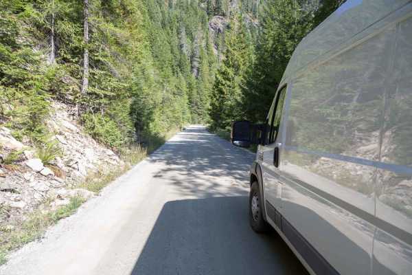
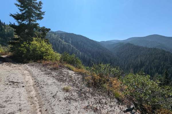
The Lolo Motorway(Forest Road 500) is a roughly 95-mile narrow, winding primitive road. The single-lane road, partially built by the Civilian Conservation Corps in the 1930, travels close to the Nez Perce Trail. Portions of this road are single-lane, and there are washouts. High clearance 4x4 only, and be prepared for a long day if you are not camping on the trail. This took us over 8 hours to complete. Be prepared for down trees and changing trail conditions. The road is free from ice and snow in mid-July and usually accessible into October. Lewis & Clark followed the Nez Perce Trail across the Bitterroot Mountains in 1805 and returned in 1806. Several stops along the trail contain information on Lewis & Clark's journey. The Nez Perce used the trail to access hunting, fishing, and food-gathering areas. This route includes a 1/2 mile side trip to Rocky Ridge Lake. Please remember a large portion of this trail follows the historical Nez Peace Trail - please pack it in, pack it out, and respect the area.

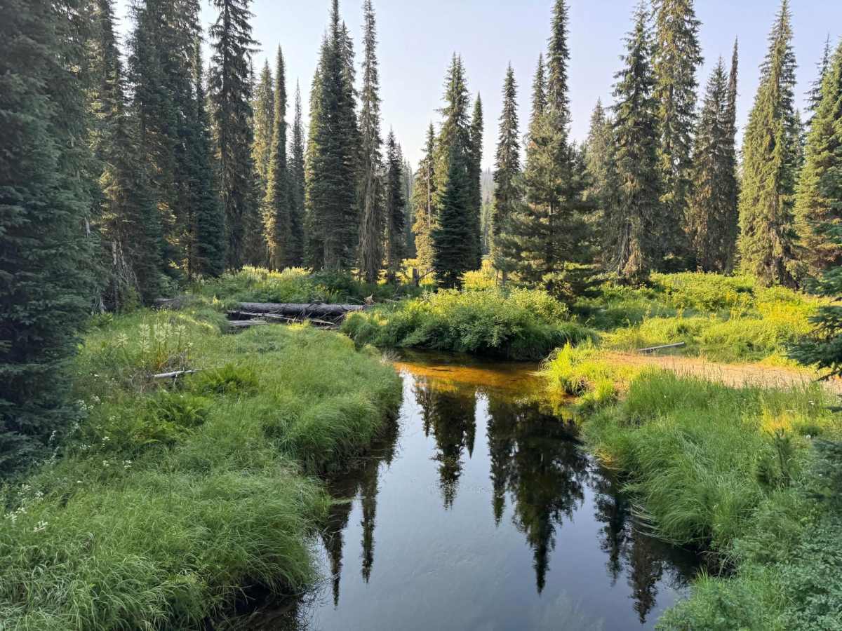
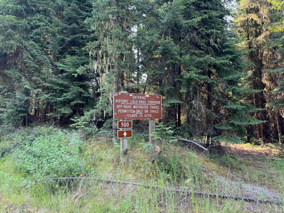
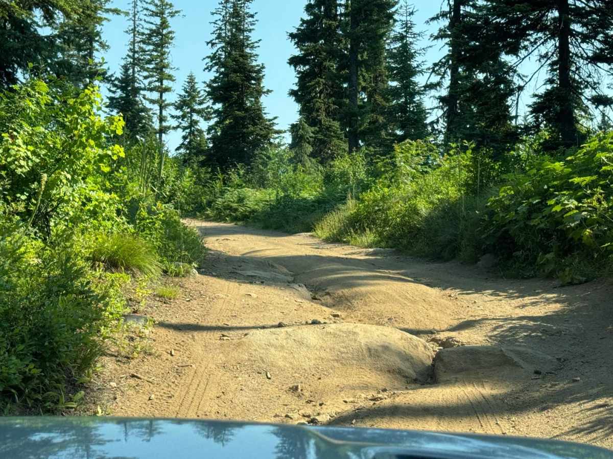
Photos of Lolo Motorway (aka FS Rd #500)

Difficulty

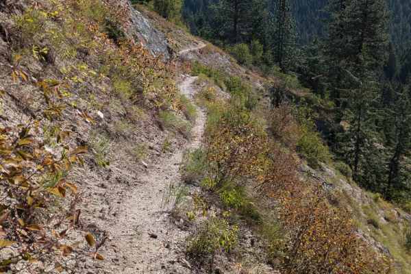
There are sections that I would definitely call a trail with washouts, rocks and a section on a single-lane shelf road.

Technical Rating

3

Status Reports

Add Status Report
Matt H
Jul 21, 2026
Obstructed
Downed Tree
The trail is obstructed by at least 30 downed trees maybe a mile east of the Indian Post Office for those heading eastbound (ie, southbound on the BDR). We cleared about 15 and the chaise’s our meager resources. Sent the drone back up and saw 30 or so trees not too far away. These downed trees are impassable by 4WD and motorcycle. We backtracked through the green trail that passes through Saddle Camp en route to Highway 12 and on to the resort at Lachsa for fuel and rejoining with the southbound BDR.
Stevan Mays
Jul 15, 2026
2026 Kawasaki Klx300
Open
cleared to 581
Jack Bechdol
Jul 03, 2026
Obstructed
Downed Tree
Downed trees everywhere. We came in from the east side at the bottom of Lolo Pass. After clearing about 7 trees we rounded the corner and about 50 more. So we turned around and entered across from the Lochsa Lodge. We made it about 5 miles and it was the same. Then we tried to come in from Sadlle Camp Rd and cut back East on the Motorway toward Post Office Lakes. We ended up cutting out just shy of 30 trees but ran out of saw gas. There were 12 more trees (about 750 yards) to the trailhead for the lakes. Not sure how the road looks westbound from Saddle Camp Rd.
Doug Vandenborn
May 30, 2026
Obstructed
Deep Snow
We were able to drive in about 5 MI from Lochsa Lodge, before encountering impassable snow in a narrow section of trail along a side hill section.
Bruce Carlisle
Aug 29, 2025
Temporarily Closed
Fire Danger
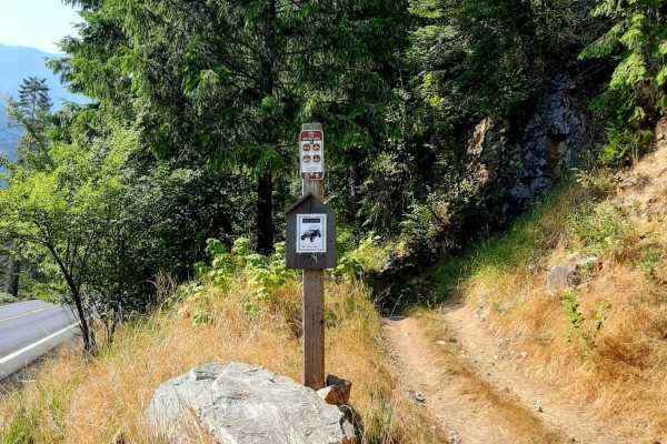
Lolo Motorway east end closed from FR 568 junction (actual beginning) to the FR 566 junction (see picture of closure sign). Use FR 108 off of HWY12 then left on FR 566 to FR 500 which is open westerly from that point. FR 108 is approximately (did not measure) 8 miles west of Powell Campground.
ROBERT M BALL
Jul 23, 2025
Open
NormalDusty
Jeep Rubicon E to W. 35 miles or so E of Pierce there is a large 3’ diameter tree over the entire road. Anything above 7’ is probably not going to work. Otherwise the trail is as advertised. Didn’t touch the saw once. Little haze. Very dry even after the rain. Meadows in full bloom. 7 motorcycles one other jeep seen midweek. NFS are about working.
Mike cates
Oct 17, 2024
Open

Lolo Motorway (aka FS Rd #500) Trail can be accessed by the following ride types:

  • Single Track
  • 50 Inch
  • 60 Inch
  • High Clearance
  • Full Width

Lolo Motorway (aka FS Rd #500) Map

The onX Offroad Difference

onX Offroad combines trail photos, descriptions, difficulty ratings, width restrictions, seasonality, and more in a user-friendly interface. Available on all devices, with offline access and full compatibility with CarPlay and Android Auto. Discover what you're missing today!

Open Trail Map