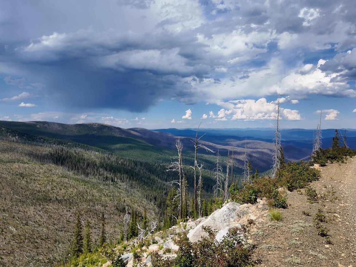
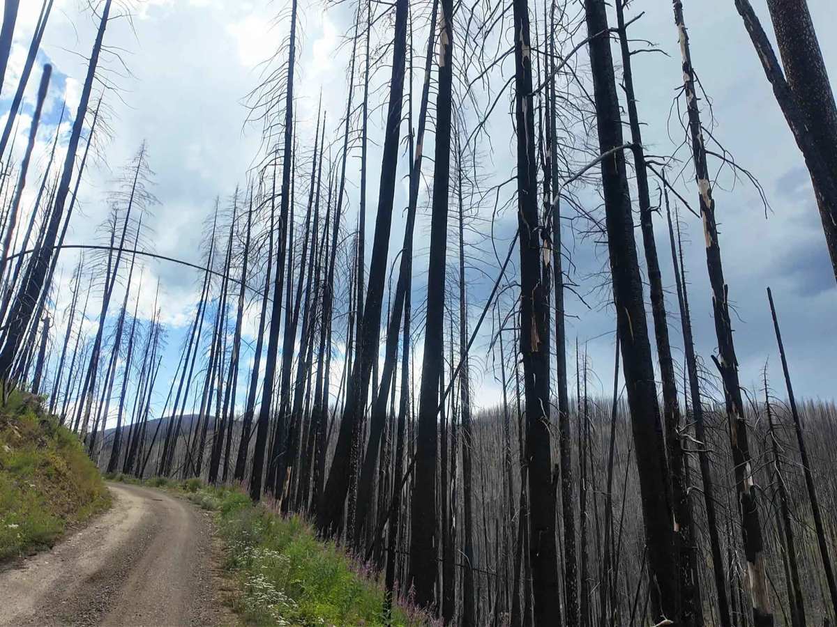
Trail Overview
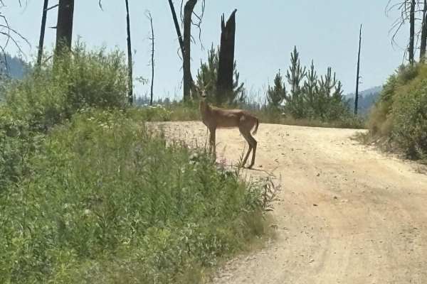
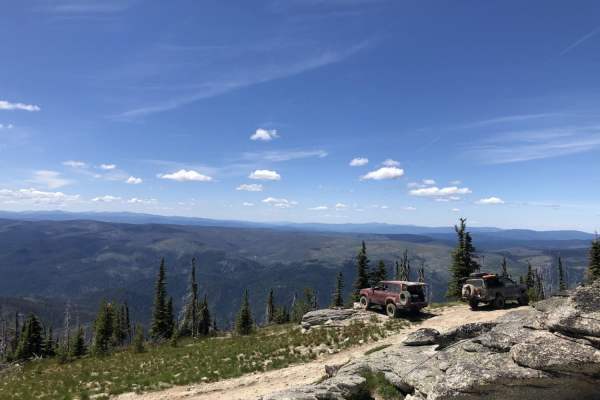
The lower section of Crooked River or Forest Service Road 233, better known as Orogrande Summit, is a heavily traveled road that is part of the Nez Perce National Forest, but makes its way deep into the Gospel-Hump Wilderness as one of the only allowed motorized routes. The route is a gravelly and well-graded shelf road that makes its way from Old Orogrande to Orogrande Summit. From there, you can go north to Wildhorse Lake, where there is Wildhorse Campground, or continue southwest to Buffalo Hump and the campground at Jumbo Camp. The route is well cared for, though the area sustained extensive fire damage in 2022, and deadfall across the road is frequent, especially during rain and windstorms. Carry a chainsaw just in case. The route goes through many privately owned parcels. Be good stewards and leave no litter or cause to close access. There are deer, elk, bear, and marmot in the area. Don’t camp on private land. No outhouses or facilities exist outside of the campgrounds. The route is seasonally closed for snowmobiles.
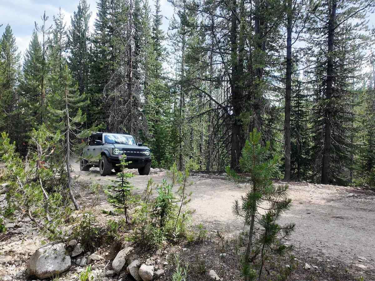
Difficulty
This is an easy, well-graded gravel shelf road with minimal technical challenge. Occasional deadfall may be present, especially after storms, but overall, the route is suitable for most high-clearance vehicles.