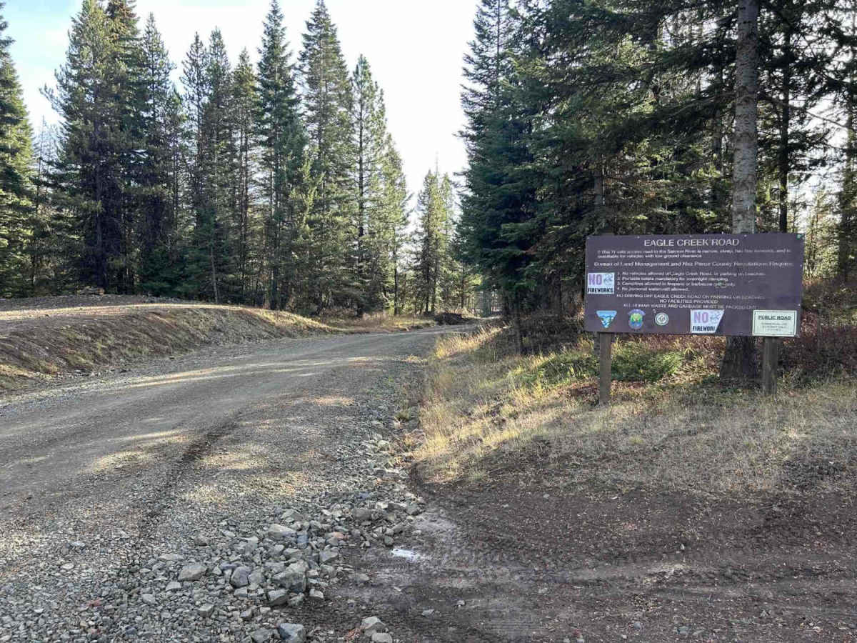
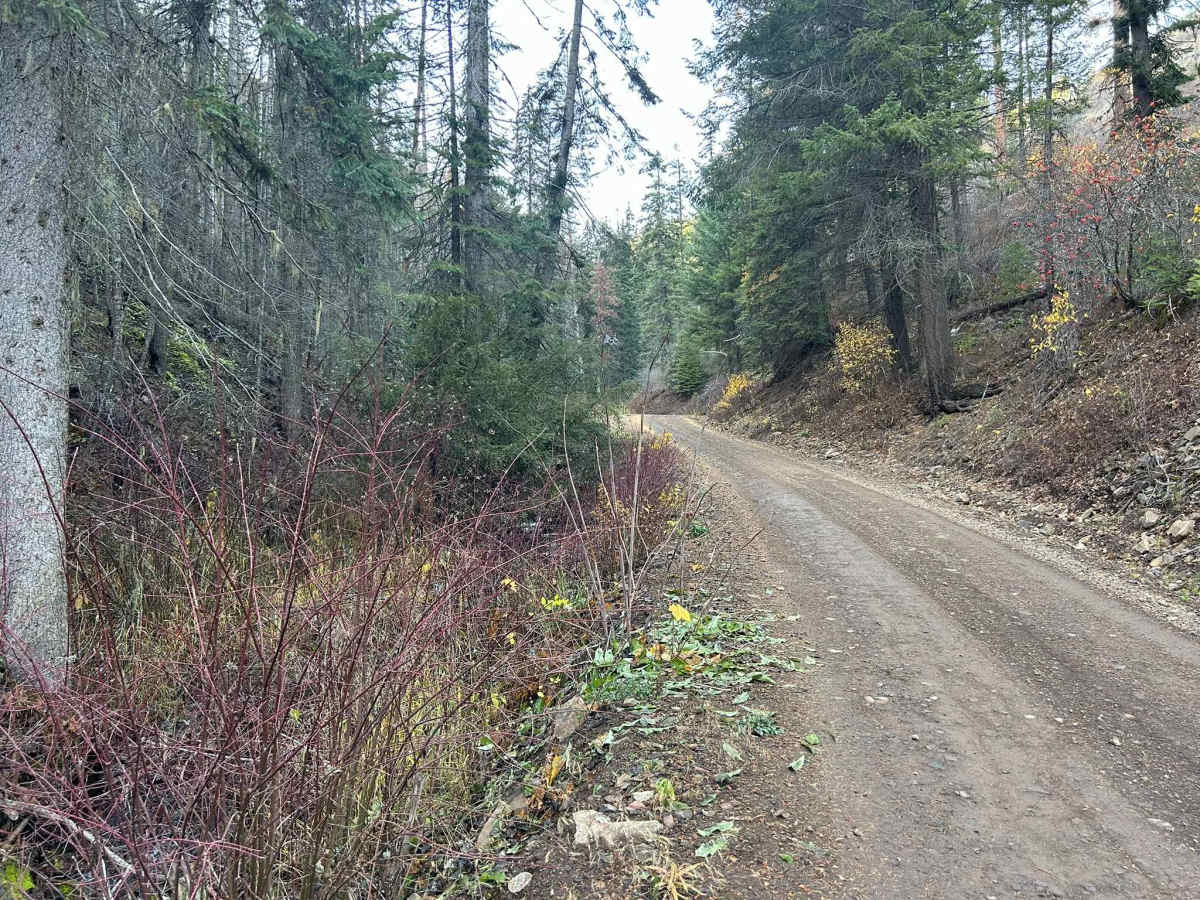
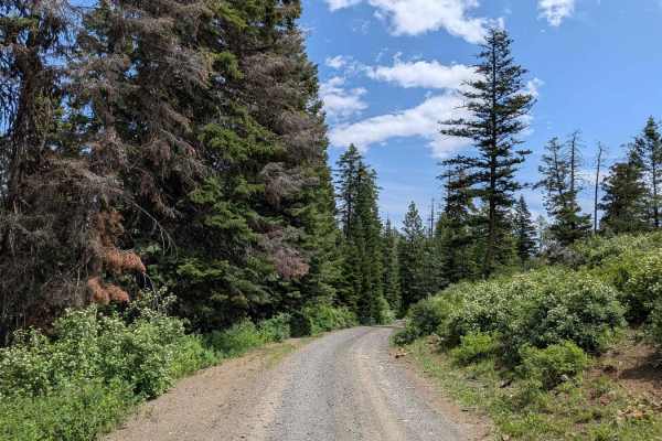
Trail Overview
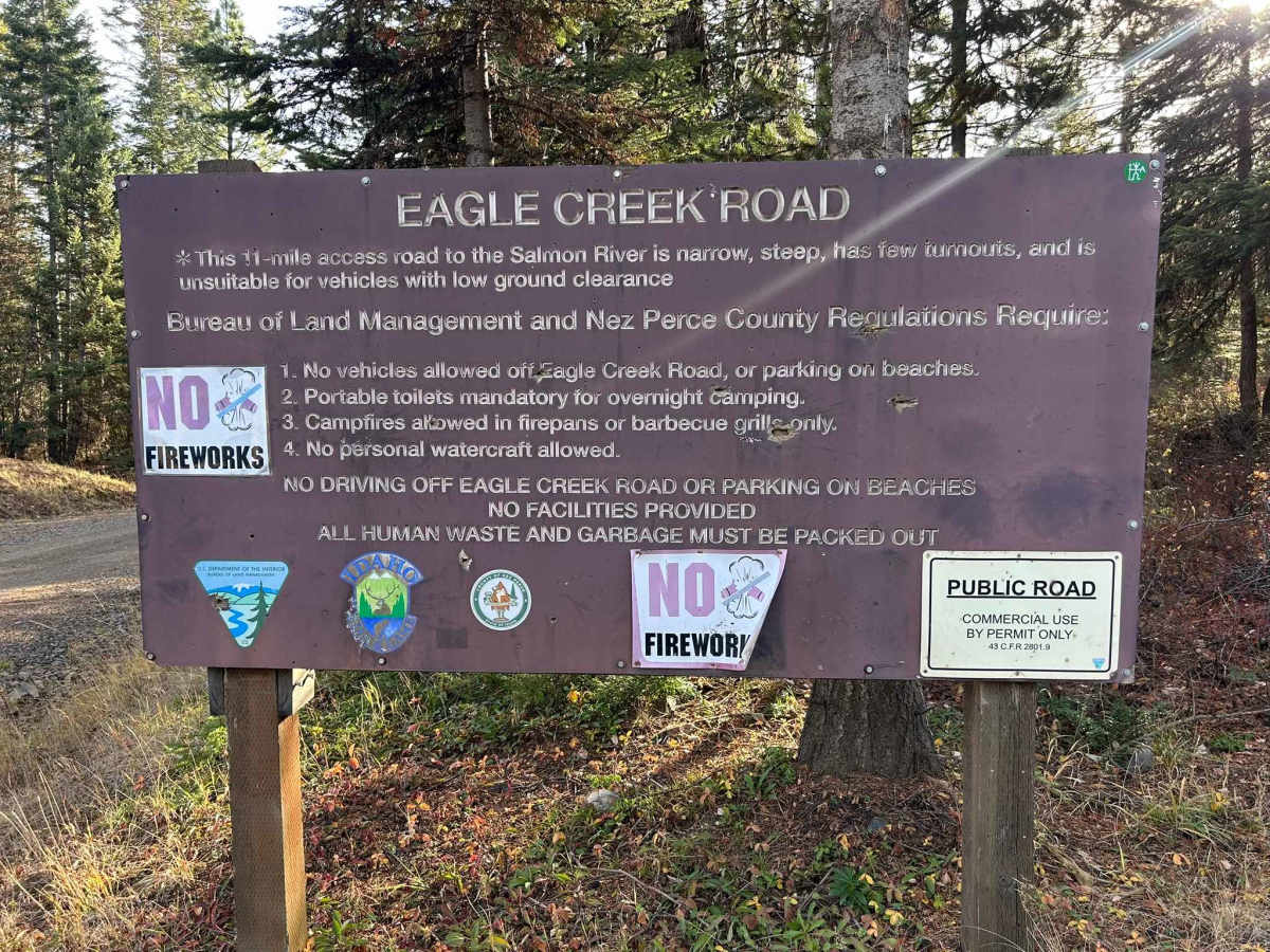
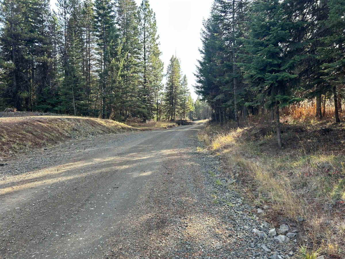
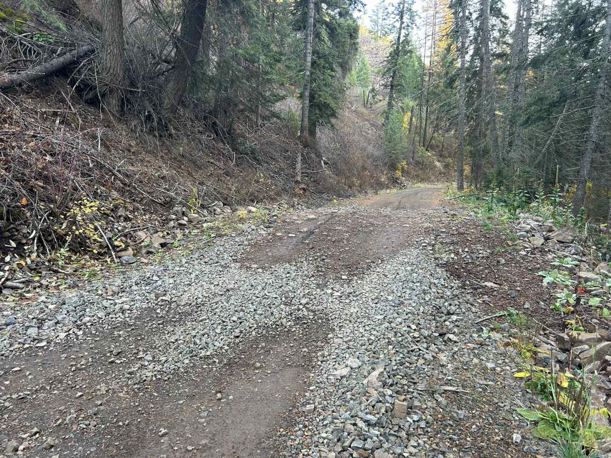
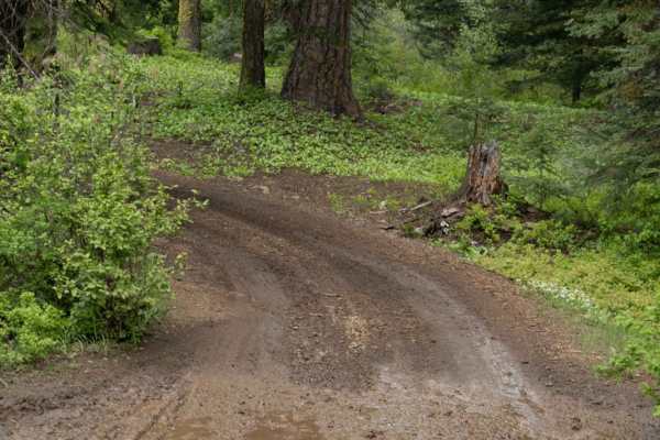
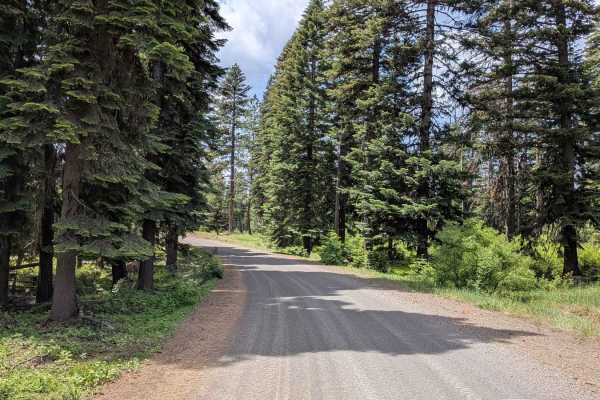
Eagle Creek is a 17.3-mile out-and-back trail that starts in the Craig Mountains at an elevation of 4,959' before descending to the Salmon River at 1,080'. The first 11 miles make up the descent, as the trail winds down through a tight, steep canyon along a creek sharing its name. This section is a mixture of dirt and medium-sized rocks. The biggest obstacle in this section is the short and steep water bars that will test your approach, breakover, and departure angles. After getting to the Salmon, the trail turns southwest and follows the river for another 6.3 miles. This section is a tight shelf road in several parts, with small stints of large embedded rocks. At 17.3 miles, the trail is gated, and no motor vehicles are permitted beyond this point. Eagle Creek is open year-round.
Difficulty
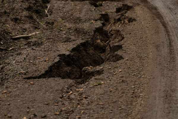
Eagle Creek is passable for stock 4 Wheel Drive vehicles with capable drivers. The most significant obstacles will be the large embedded rocks when going along the river. Snow and rain can greatly increase the difficulty of this trail due to the steep grade at the beginning. Airing down is recommended for ride comfort over the many small and large embedded rocks. As with any trail in North Idaho, always bring a chainsaw or equipment to move fallen trees.