
Beginner Off-Road Trails
Near Searles Valley, California
Explore All Beginner Trails Near Searles Valley, California
Beginner Off-Road Trails Near Searles Valley, California
Discover the best beginner-friendly off-road trails near you. These easier, lower-rated trails are a great place to start — browse trail maps, check difficulty ratings, and find your next adventure.
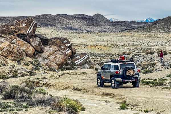
Fish Head Rocks to Trona Pinnacles
The Fish Head Rocks were originally painted in the late 1930s or early 1940s, a beloved and unexpected desert sight. The route to Trona Pinnacles passes through "Poison Canyon" because the small stream at its west end contains naturally occurring arsenic, selenium, and other minerals at toxic levels...
Learn more about Fish Head Rocks to Trona Pinnacles
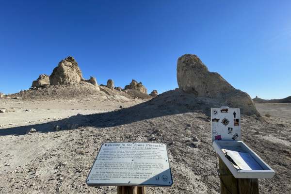
Trona Pinnacles Scenic Loop East (Easy)
An easy scenic loop around and through the Trona Pinnacles National Landmark that is accessible by passenger car with careful tire placement (easy trail, just be careful of your sidewalls on sharp rocks). This trail gets you up close and personal with the huge natural formations. There is a pit toil...
Learn more about Trona Pinnacles Scenic Loop East (Easy)
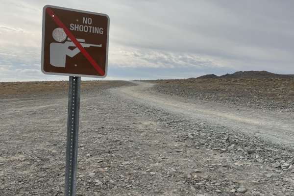
The Easy Route to Trona Pinnacles
This is the main (occasionally) graded route to get to Trona Pinnacles. This hard-packed washboard road takes you across the desert and the shortest operating railroad in America. Be sure to stop and check for trains as there are no mechanical signs. It's a beautiful drive in with lots of informatio...
Learn more about The Easy Route to Trona Pinnacles
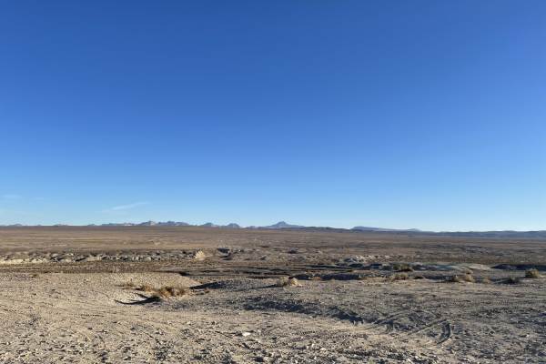
Pinnacles to Spangler Hills OHV Area
A sandy and bumpy dirt road with frequent washouts and whoops. This is a direct dirt route connecting the Trona Pinnacles area to the edge of the Spangler Hills OHV Riding Area. There are more remote dispersed camping areas off this trail, some with views of the pinnacles and some with views over th...
Learn more about Pinnacles to Spangler Hills OHV Area
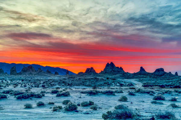
Trona Pinnacles Scenic Route West
Located in California's Mojave desert just outside Death Valley is the otherworldly Trona Pinnacles. Managed by the Bureau of Land Management, the 3,800 acres here feature more than 500 odd-shaped tufa towers. The Trona Pinnacles are the largest of their kind in North America, towering as tall as 14...
Learn more about Trona Pinnacles Scenic Route West
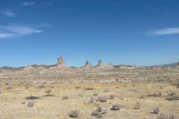
Teagle Wash Road
This is an easy trail if you do not want to get out taking the same popular trail and getting into Trona Pinnacles. It is easy for off-road beginners with almost all stock 4WD and AWD vehicles, starting from the famous Trona Pinnacles and ending with Randsburg Wash Road, with about 288 feet elevatio...
Learn more about Teagle Wash Road
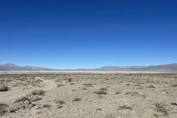
Another Way Around
A quick pop around the side of pinnacles out to the network of trails beyond. The trail is somewhat sandy with a few small steep hills, washouts, and very sharp rocks. One should take care not to inflict sidewall damage. The trail passes by a few of the pinnacles and has some nice dispersed camping ...
Learn more about Another Way Around
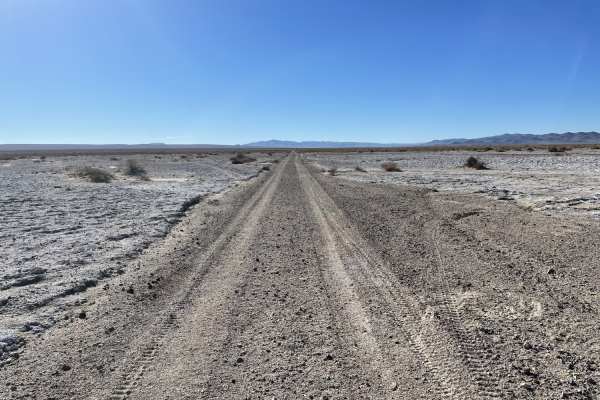
Straight Shot to the White Fluffy Stuff
This is a mostly straight trail with some sandy sections and deep washouts. The trail ends at the military border in the lakebed. The lakebed may be impassable when wet. There seems to be some monitoring equipment in the bid for some sort of project. Stay on the trail, it appears to be really mucky ...
Learn more about Straight Shot to the White Fluffy Stuff
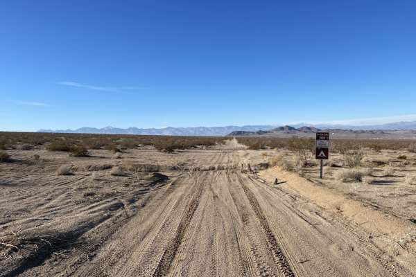
Milford Road Cutover
A mostly easy trail that cuts across the BLM land from Trona Road over to Highway. This easy trail, with mostly sand and washouts, leads to lots of dispersed camping and connects Trona Road to Highway 178. There are a few dispersed camping spots scattered about. You may see F-18's and other military...
Learn more about Milford Road Cutover
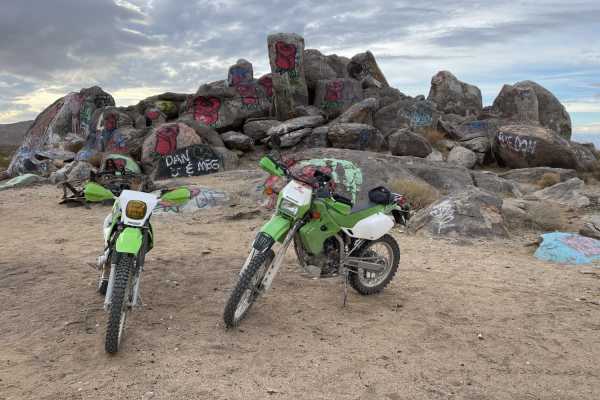
Rosebud Rocks to Wagon Wheel OHV
This 4.1-mile point-to-point route is ideal for beginner to intermediate offroaders seeking a scenic desert trek between Trona Road and the Wagon Wheel OHV area near Ridgecrest, California. Standing out for its starting point at Rosebud Rocks—a large, uniquely painted rock formation—the trail delive...
Learn more about Rosebud Rocks to Wagon Wheel OHV
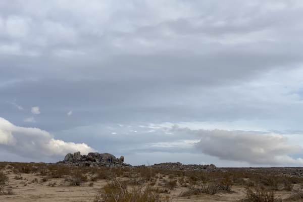
Murano Trail Part 1
This is the Western section of the Murano trail as it enters the Spangler Hills OHV area and leads in from BLM land that borders the town of Ridgecrest. It continues past this part 1 section and links through many other trails in the area as you enter the OHV area. The Desert Tortious is endangered ...
Learn more about Murano Trail Part 1
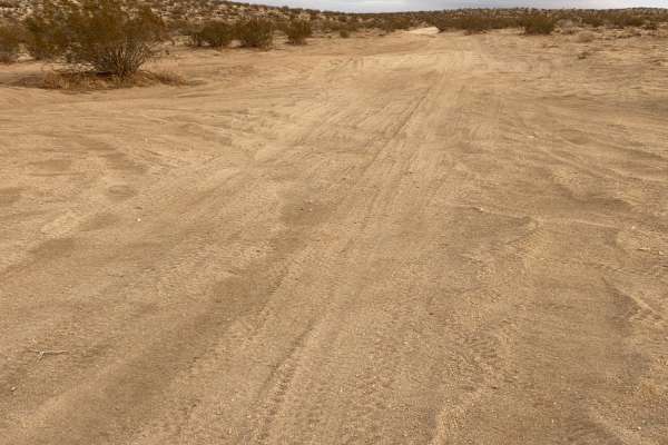
Fun Boundary Rip
A fun run one to the boundary of the OHV area. The trail has lots of bermed corners and many sandy sections. There is a great camping area with a nice view and a high boulder with established fire rings. Being an OHV area, there are plenty of other options to explore along the way. Watch for the end...
Learn more about Fun Boundary Rip
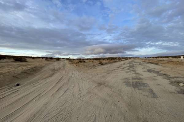
Easy Way to Camp From Trona Road
This trail starts out easy for larger rigs to access dispersed camping areas. It should be very doable for trailers and Motorhomes. Be sure to stop at the last large open space on the NE side of the trail. The trail gets narrow and soft as it continues up the hill. Once on top of the hill, you will ...
Learn more about Easy Way to Camp From Trona Road
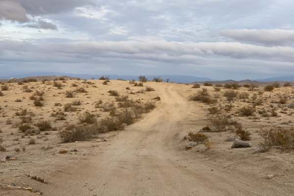
Boundary Circle 1
One of the more established boundary trails in the area. A generally easy connector trail to attach with other trails in the area. The trail has some whoops and bermed corners and crosses some sandy washes. Be sure to watch for other riders and wildlife in the area. There is some LTE cell service. Y...
Learn more about Boundary Circle 1
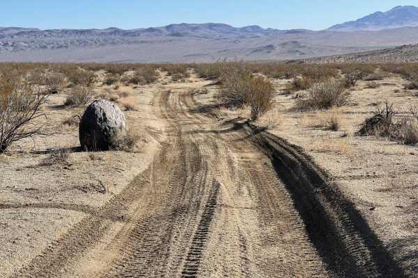
Kiss The Boundary
This trail is a fun blast through the hills with bermed corners, some washes, and occasional deep whoops. This trail just kisses the boundary between the Spangler OHV Area and BLM land. The trail is wide enough for Jeeps. Worth a quick rip. To enjoy the views of the valley around. Watch for low-flyi...
Learn more about Kiss The Boundary
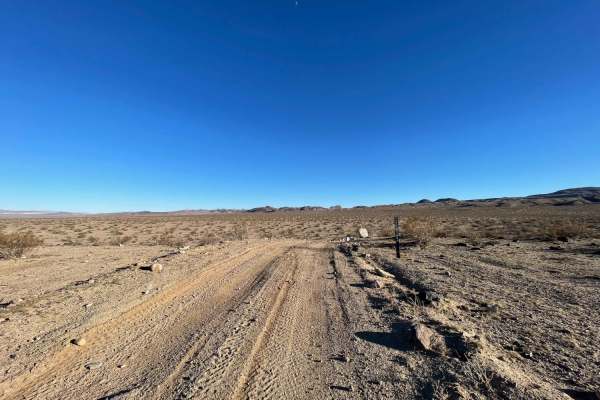
Valley Crossover
A solid hardpacked trail across the middle of the valley. Many of the trails are whooped out and very sandy in the area. This trail leads to Pinnacle road and has a few steep hills, bermed corners, and sharp rocks. The trail is an easy access point to the Golden Valley Wilderness for hiking or horse...
Learn more about Valley Crossover

Russel Camp
This short trail leads up to Russel Camp, which is an old mining cabin that you can stay at when visiting Death Valley. It has a honeymoon suite (not recommended), a kitchen, a solar shower, an outhouse, and even a carport if you can fit under the roof. It's worth stopping by to see the history and ...
Learn more about Russel Camp
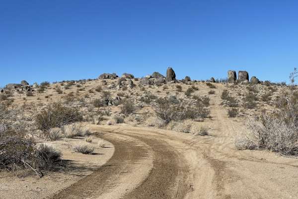
Lower Murano Road
It's a generally sandy two-track trail with plenty of bermed corners and some deeper washouts. The trail progresses and crosses through some impressive large rocks. Watch for desert tortoises and military planes buzzing the deck VERY LOW. If you are lucky, one of the pilots may wave at you! There ar...
Learn more about Lower Murano Road
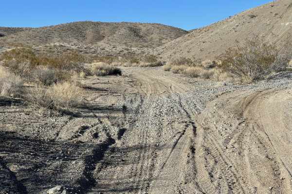
Old Railroad Grade to New Tracks
The trail starts at the north end with a hard-packed dirt road. It passes through an open meadow before coming to a massive, open, dispersed camping area with many fire rings. It then continues south until it links up with the old railroad grade. This section is a "choose your own adventure" area, a...
Learn more about Old Railroad Grade to New Tracks
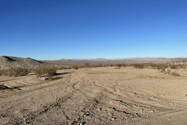
Old Searles Station Road
This appears to be the main cut across the road for dispersed camping. There are plenty of fire rings and flat spots to pick from. The road is mostly graded, and some washboard with plenty of room to pass oncoming traffic. The trail may be impassable when muddy. 3 bars 5G. There may be train and hig...
Learn more about Old Searles Station Road
Beginner ATV trails near Searles Valley, California
Explore ATV-friendly trails near you. These trails are accessible for vehicles up to 50 inches wide, perfect for ATVs and smaller off-road machines.
Fish Head Rocks to Trona Pinnacles
The Fish Head Rocks were originally painted in the late 1930s or early 1940s, a beloved and unexpected desert sight. The route to Trona Pinnacles passes through "Poison Canyon" because the small stream at its west end contains naturally occurring arsenic, selenium, and other minerals at toxic levels...
Learn more about Fish Head Rocks to Trona Pinnacles
Trona Pinnacles Scenic Loop East (Easy)
An easy scenic loop around and through the Trona Pinnacles National Landmark that is accessible by passenger car with careful tire placement (easy trail, just be careful of your sidewalls on sharp rocks). This trail gets you up close and personal with the huge natural formations. There is a pit toil...
Learn more about Trona Pinnacles Scenic Loop East (Easy)
The Easy Route to Trona Pinnacles
This is the main (occasionally) graded route to get to Trona Pinnacles. This hard-packed washboard road takes you across the desert and the shortest operating railroad in America. Be sure to stop and check for trains as there are no mechanical signs. It's a beautiful drive in with lots of informatio...
Learn more about The Easy Route to Trona Pinnacles
Pinnacles to Spangler Hills OHV Area
A sandy and bumpy dirt road with frequent washouts and whoops. This is a direct dirt route connecting the Trona Pinnacles area to the edge of the Spangler Hills OHV Riding Area. There are more remote dispersed camping areas off this trail, some with views of the pinnacles and some with views over th...
Learn more about Pinnacles to Spangler Hills OHV Area
Beginner UTV/side-by-side trails near Searles Valley, California
Find UTV and side-by-side trails near you. These trails accommodate vehicles up to 60 inches wide, ideal for UTVs, side-by-sides, and wider off-road rigs.
Fish Head Rocks to Trona Pinnacles
The Fish Head Rocks were originally painted in the late 1930s or early 1940s, a beloved and unexpected desert sight. The route to Trona Pinnacles passes through "Poison Canyon" because the small stream at its west end contains naturally occurring arsenic, selenium, and other minerals at toxic levels...
Learn more about Fish Head Rocks to Trona Pinnacles
Trona Pinnacles Scenic Loop East (Easy)
An easy scenic loop around and through the Trona Pinnacles National Landmark that is accessible by passenger car with careful tire placement (easy trail, just be careful of your sidewalls on sharp rocks). This trail gets you up close and personal with the huge natural formations. There is a pit toil...
Learn more about Trona Pinnacles Scenic Loop East (Easy)
The Easy Route to Trona Pinnacles
This is the main (occasionally) graded route to get to Trona Pinnacles. This hard-packed washboard road takes you across the desert and the shortest operating railroad in America. Be sure to stop and check for trains as there are no mechanical signs. It's a beautiful drive in with lots of informatio...
Learn more about The Easy Route to Trona Pinnacles
Pinnacles to Spangler Hills OHV Area
A sandy and bumpy dirt road with frequent washouts and whoops. This is a direct dirt route connecting the Trona Pinnacles area to the edge of the Spangler Hills OHV Riding Area. There are more remote dispersed camping areas off this trail, some with views of the pinnacles and some with views over th...
Learn more about Pinnacles to Spangler Hills OHV Area
The onX Offroad Difference
onX Offroad combines trail photos, descriptions, difficulty ratings, width restrictions, seasonality, and more in a user-friendly interface. Available on all devices, with offline access and full compatibility with CarPlay and Android Auto. Discover what you're missing today!
Open Trail Map